
 By
Saaremaa is the largest Estonian island and one of the least visited places in the Baltic region, which is entirely a matter of history rather than merit. For forty years it was a closed Soviet border zone that even Estonians needed a permit to enter, and the accidental result is an island that never got built over.
This guide covers Kuressaare castle and its town, where the windmills and the meteorite crater are, what the coast is actually like, what a trip costs and when to come.
Saaremaa: where it is and why it is worth the trip
Estonia has more than two thousand islands, but only four are seriously inhabited. Saaremaa is the largest of them, at two thousand six hundred square kilometres, with about thirty thousand residents.
| Element | Value |
|---|---|
| Area | about 2,600 sq km |
| Population | about 30,000 |
| Highest point | 54 metres |
| Main town | Kuressaare, 13,000 residents |
| Closed to foreigners | 1950 to 1989 |
| Rising from the sea | about 2 mm per year |
It lies in the west of the country, at the mouth of the Gulf of Riga, separated from the mainland by seven kilometres of sea. Its neighbour Muhu is joined to it by a causeway, and the ferry runs to Muhu, so in practice you reach both by the same crossing.
What sets it apart from the rest of the Baltics is that isolation. Through the Soviet period the island was a closed border zone: getting there required a permit, and foreigners were not admitted at all. Nothing was developed, and when the restrictions lifted in 1989 the island emerged with its landscape intact.
The terrain is almost flat, the highest point being fifty-four metres. The island is still rising out of the sea at roughly two millimetres a year, a slow rebound from the weight of the last ice age, which means the coastline is measurably different from the one on old maps.
Kuressaare castle
This is the main reason the island appears in guidebooks, and it deserves the billing: it is the only medieval castle in the entire Baltic archipelago preserved whole, rather than as a ruin or a reconstruction.
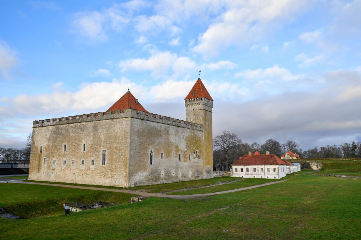
Construction began around 1380 under the bishopric of Osel-Wiek, and the present form, a compact square with two towers, dates from the fifteenth century. The difference from Central European castles is immediately visible: it is built of local dolomite, a grey-yellow limestone, not brick, and the lines are severe rather than decorative.
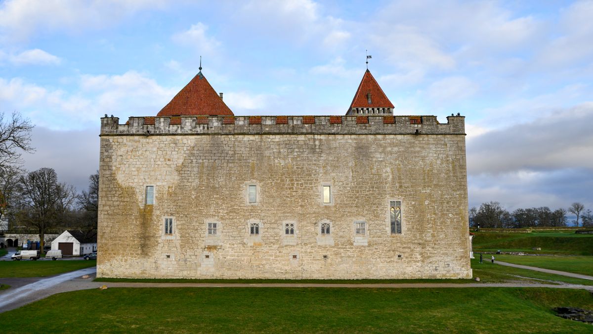
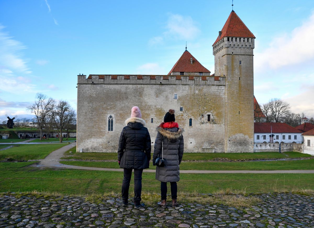
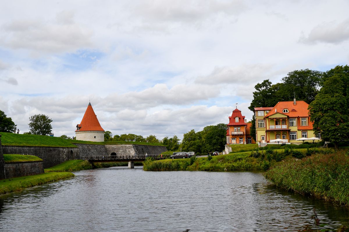
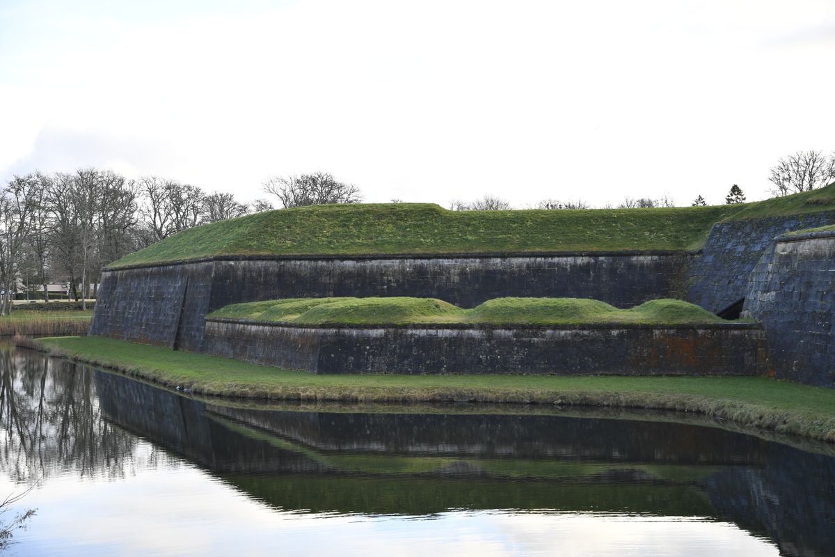
The star-shaped bastions around it were added in the seventeenth century during the Swedish period, and the defensive moat still holds water. The reflection of the walls in that moat is the photograph everyone takes, and it works in all four seasons.
Inside, the regional museum covers the island history from prehistory to the Soviet occupation, including a serious section on the deportations of the nineteen-forties. It is not a decorative local museum, and it does not soften that part of the story.
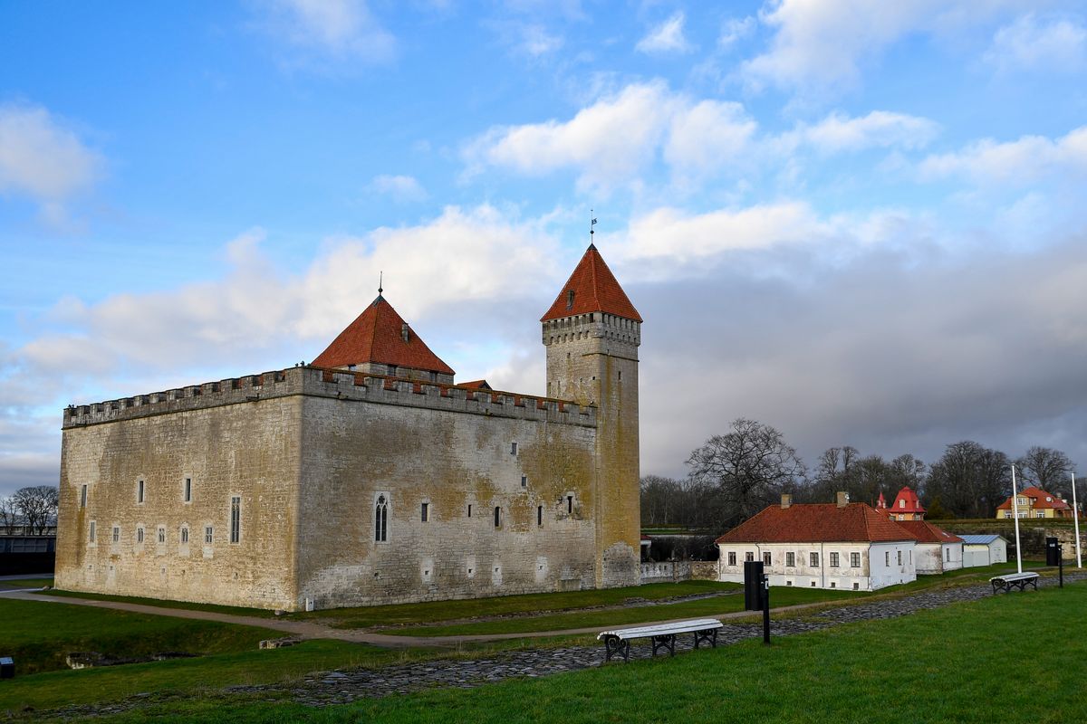
You visit on your own, with panels in English, and it takes between two and three hours if you go through the whole museum. The Long Tower has a very narrow spiral staircase with no handrail in places, which rules it out for anyone unsteady on their feet. Buy the ticket at the gatehouse rather than online, since the museum rarely sells out.
Kuressaare, the resort town
The town has thirteen thousand residents and is by far the largest settlement on the island. The centre is compact and can be walked end to end in two hours.
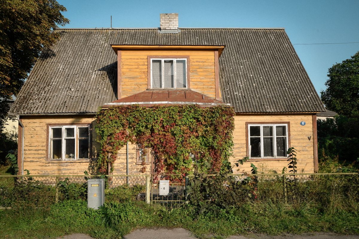
What surprises most visitors is that it is an old spa town. Mud treatment began here in 1840, and through the tsarist period Kuressaare was a fashionable destination for the Russian and Baltic German gentry.
That is where the architecture comes from: wooden villas with verandas, a spa park with bandstands, and a density of spa hotels that makes no sense for a town this size until you know the history. Most of them still operate, and a treatment costs a fraction of what it would in Western Europe.
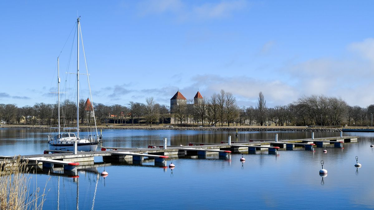
The marina sits a kilometre from the castle and fills through summer with Finnish and Swedish yachts. The crossing from Finland takes a day under sail, which explains the traffic.
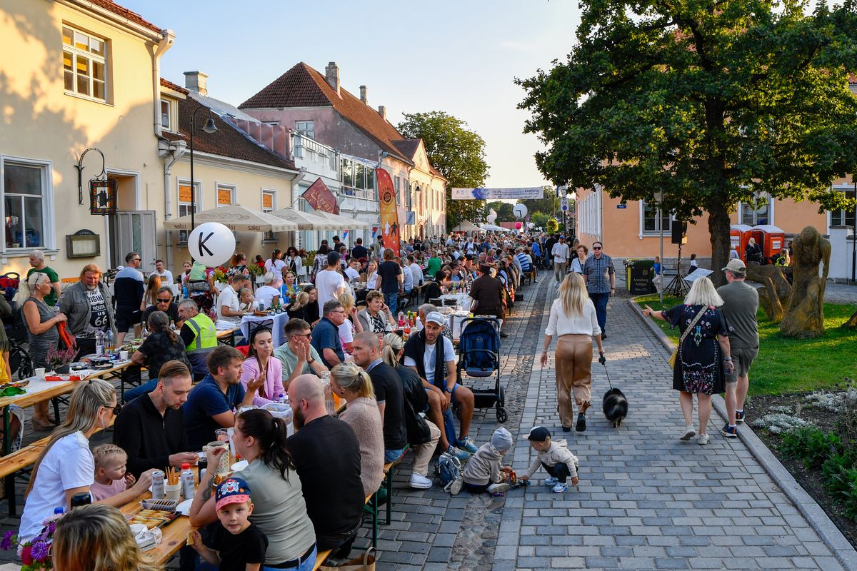
In summer the town changes rhythm completely. The island population nearly triples in July and August, and the main square runs food festivals, concerts and markets through the season.
The windmills and the Kaali crater
At the start of the last century the island had more than eight hundred windmills. The explanation is simple: flat land, constant Baltic wind and no rivers worth damming for water power.
About a hundred survive today, several dozen of them restored. There are two types: wooden post mills, where the whole body rotates on a pivot, and the later Dutch type with a fixed tower and a turning cap.
The most photographed group is Angla Tuulikumagi, a row of five mills aligned along a ridge in the centre of the island. There is a small entrance fee and a visitor centre, and it is the single most recognisable image of Saaremaa.
Twenty kilometres from Kuressaare lies one of the best preserved accessible impact craters in Europe. An iron meteorite struck here roughly three and a half thousand years ago, breaking apart in the atmosphere and producing nine craters.
The main crater is a hundred and ten metres across and twenty-two metres deep, with a circular lake at the bottom. The impact almost certainly entered local mythology: the lake appears in Estonian and Finnish folklore as a sacred site, and excavations have turned up evidence of prolonged ritual use.
The coast, the lighthouses and the junipers
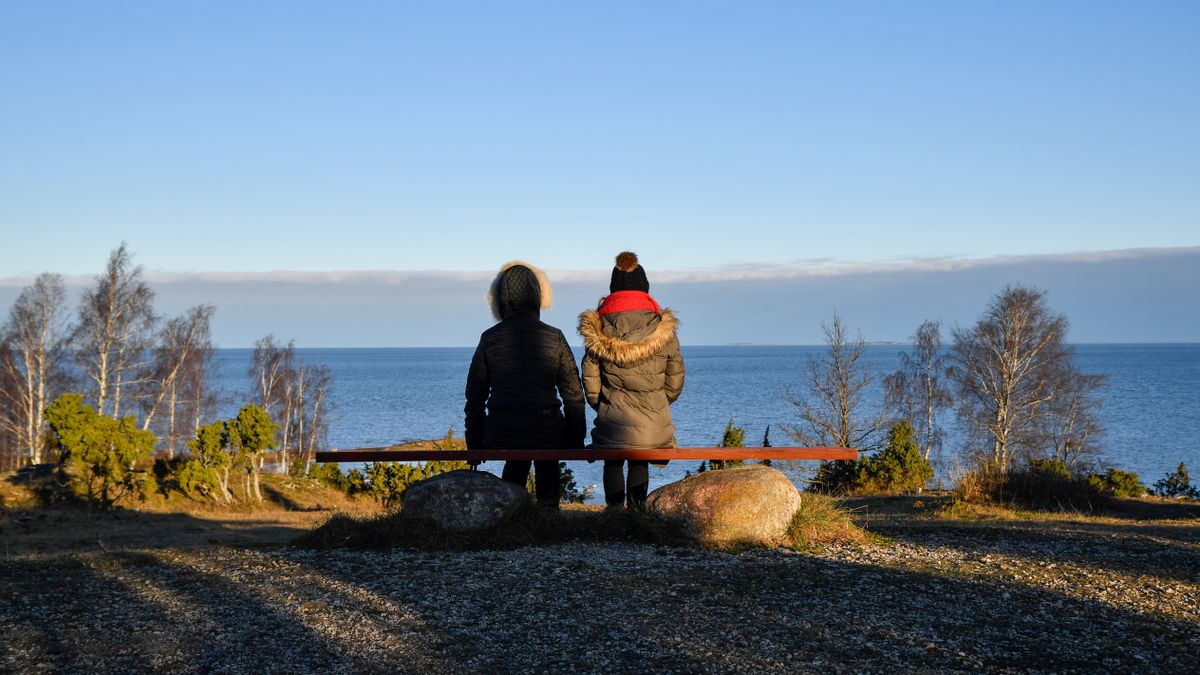
The landscape that actually defines the island is neither the castle nor the mills but the coast: long strips of limestone shingle, stunted junipers growing straight out of the rock, and a sea that is shallow and grey more often than blue.
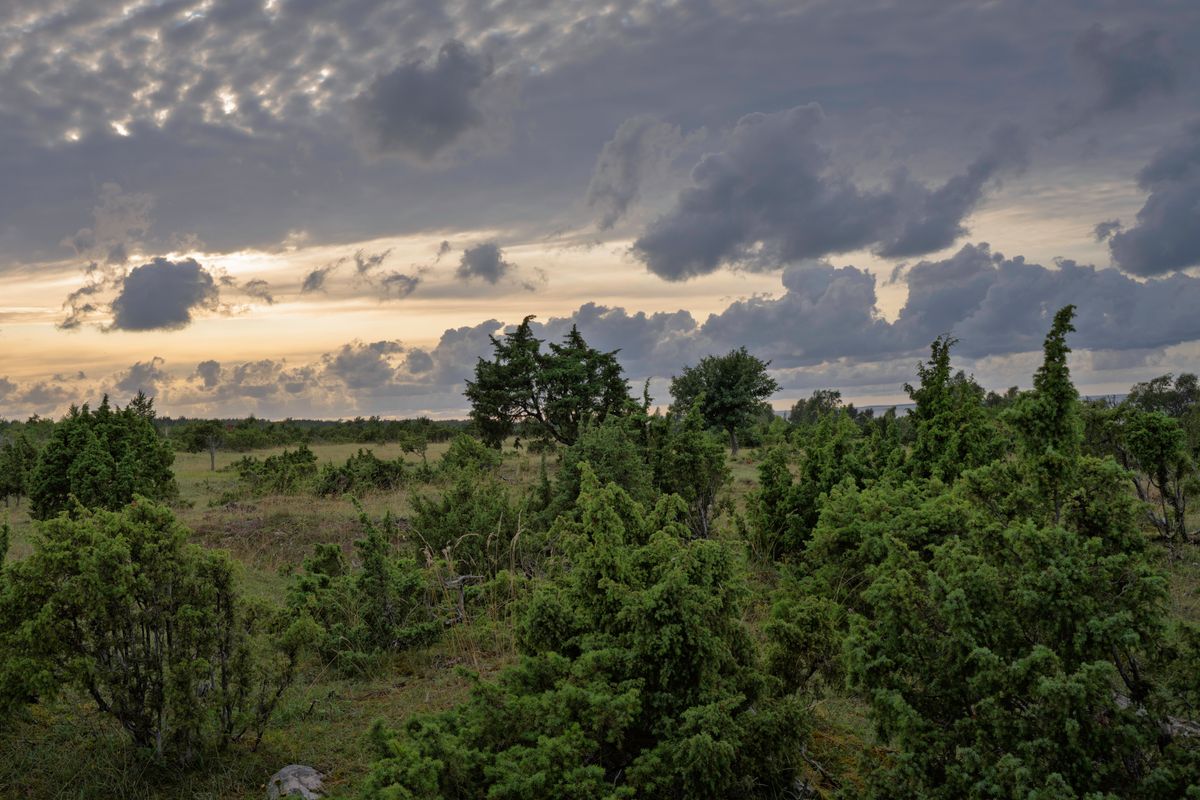
Juniper is the emblematic plant here. It grows on alvar, a thin grassland formed directly over limestone, a rare habitat in Europe and strictly protected. Juniper wood is also the traditional material for local beer tankards, which is not a coincidence.
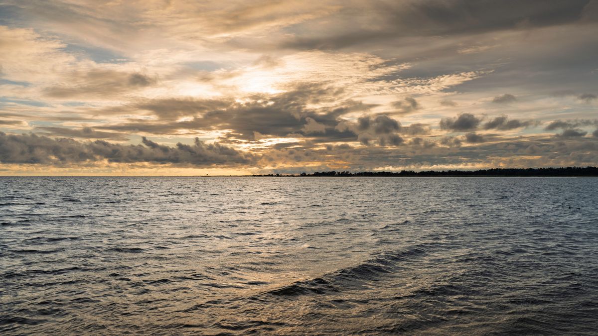
Panga cliff, in the north of the island, is the highest on Saaremaa at twenty-one metres. That is modest as cliffs go, but it is the only vertical break in an otherwise flat coastline, and it was a pre-Christian sacrificial site.
In the west lies Vilsandi National Park, the oldest protected area in the Baltic states, established in 1910 specifically to protect seabirds. The Vilsandi lighthouse has been working since 1809 and the zone contains more than a hundred and fifty islets, most of them uninhabited.
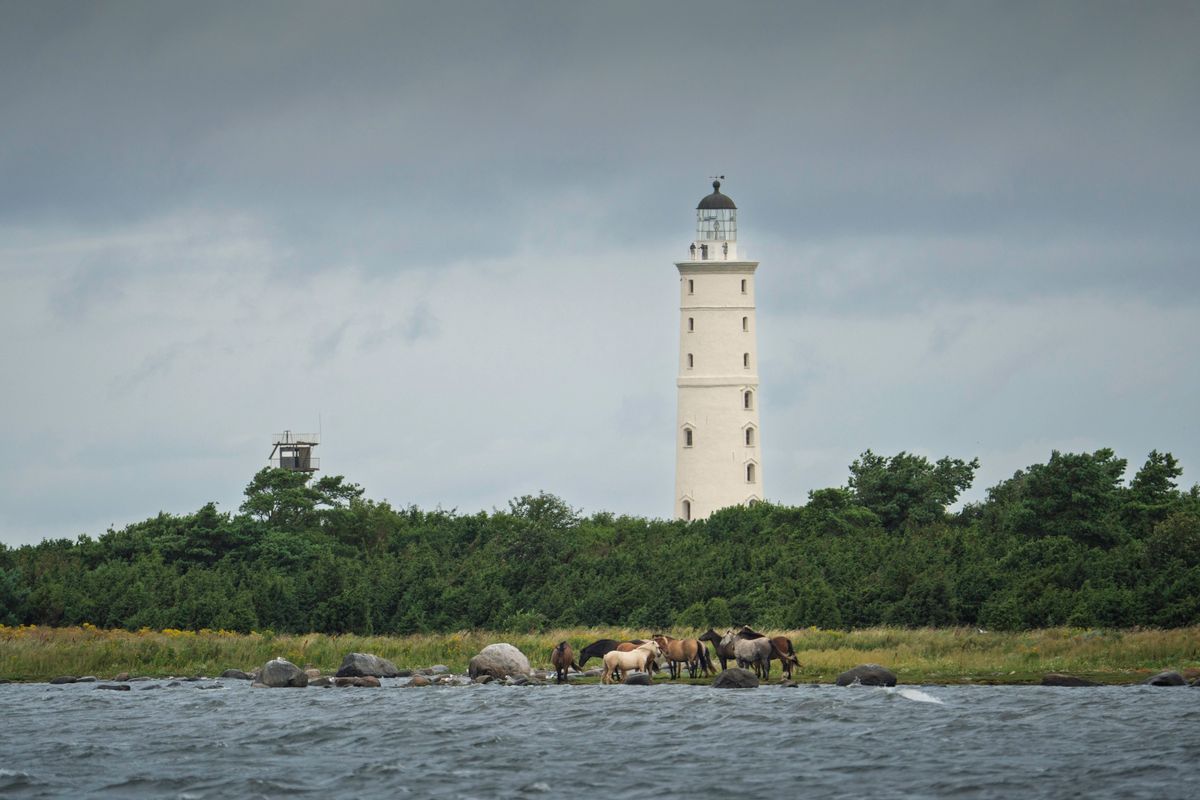
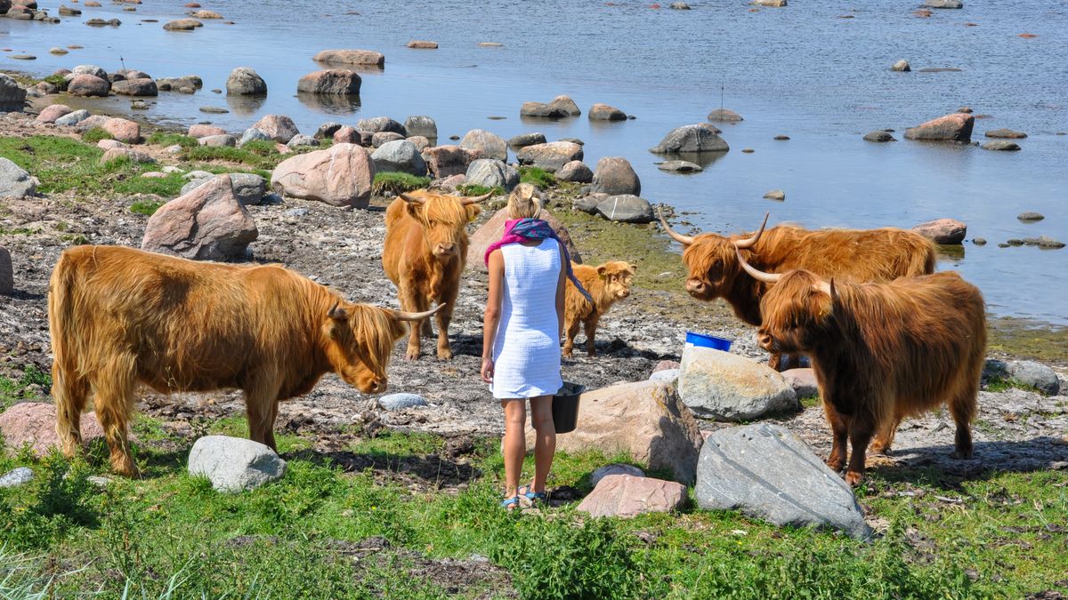
The semi-wild horses on the Kallaste shore are another characteristic sight. They are domestic animals left to graze freely on the coastal meadows, a management technique that keeps the alvar open, and the same job is done elsewhere on the island by Highland cattle.
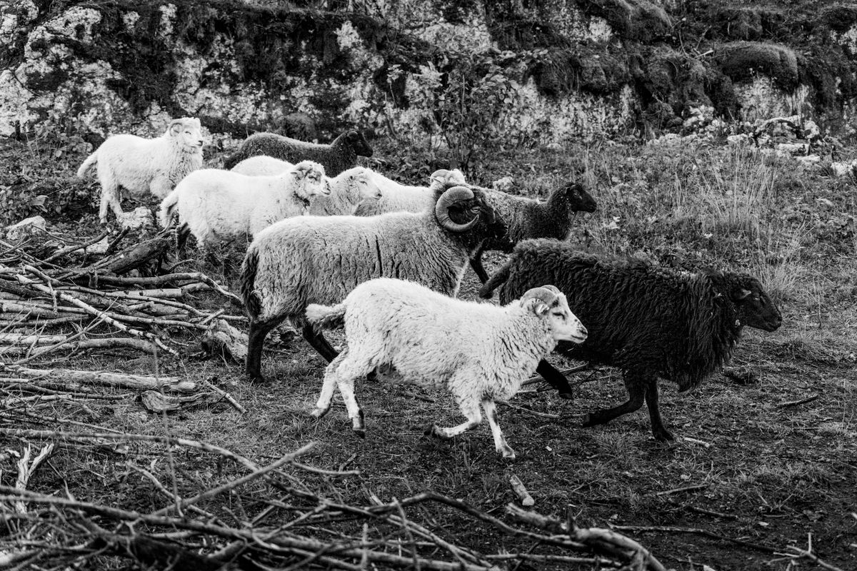
On the Sorve peninsula, the southernmost point, the coast narrows to a few hundred metres. Some of the heaviest fighting in Estonia took place here in 1944, and the concrete gun positions are still in the pine woods.
Practical: getting there, costs, when to go
There are no direct flights to the island worth planning around. The standard route is to fly to Tallinn, then drive or take a coach four hours west, with a ferry crossing included.
| Stage | How | Duration |
|---|---|---|
| To Tallinn | flight | depends on origin |
| Tallinn to Virtsu | car or coach | about 2 hours |
| Virtsu to Kuivastu | ferry | 27 minutes |
| Kuivastu to Kuressaare | car | about 1 hour |
The ferry runs every hour or two and carries cars. In summer weekends, booking online is essential for vehicles, otherwise you wait for later sailings. Timetables are on the ferry operator site.
A hire car is effectively necessary. Public transport between villages exists but is infrequent, and the sights are spread across the whole island. Cycling is a genuine alternative given the flat terrain, if you have the days.
| Item | Price |
|---|---|
| Guesthouse or small hotel, per night | 60 – 110 euros |
| Ferry with a car, return | 20 – 30 euros |
| Hire car, per day | 35 – 60 euros |
| Meal for two at a local restaurant | 30 – 50 euros |
| Castle and museum entry | 15 – 20 euros |
| Spa treatment, per person | 25 – 50 euros |
Estonia is in the euro zone and card payment works absolutely everywhere, including market stalls. The country is the most digitised in Europe by some distance, and cash is close to unnecessary.
The ideal window is the first half of June. Days run to more than eighteen hours of light, temperatures sit between fifteen and twenty degrees, and the season has not yet started. Official information is on the Estonian national tourism portal.
A note about the photographs
Kuressaare castle is very well covered, in eight different angles and in all four seasons, as are the town, the juniper coast, the lighthouses, the semi-wild horses and the coastal grazing.
Three of the island postcard images are missing entirely, and they are precisely the ones a reader would expect: the Kaali meteorite crater, the Panga cliff and the row of five windmills at Angla. None of them exists in any free archive, and rather than substitute something similar from elsewhere in the Baltics, those sections are written without pictures. Also missing are the villages of Muhu, the striped folk costume, home-brewed beer, the smoke sauna and the castle interior.
Frequently asked questions (FAQ)
Conclusion
Saaremaa is what the Baltic coast looks like when nobody is allowed to build on it for forty years. The castle is the headline, but the island is really about the juniper coast, the empty roads and the light that refuses to go out in June.
Come in early June, hire a car, give it three days, and accept that the two most famous sights, the crater and the windmill row, will have to be seen rather than photographed from a guide.
