
 By

The Accursed Mountains are the southern and highest end of the Dinaric Alps, divided between Albania, Kosovo and Montenegro. The name means the same thing in every local language, and the landscape explains why: limestone walls, deep valleys with no road and villages that are hard to reach. It is the only range in Europe where a waymarked trail of nearly two hundred kilometres crosses three borders, and for that you need permits obtained in advance.
What the cross-border trail involves, how the permits work, what there is on the Kosovo side, when the season runs and what the real risks are.
What the Accursed Mountains are and where they begin
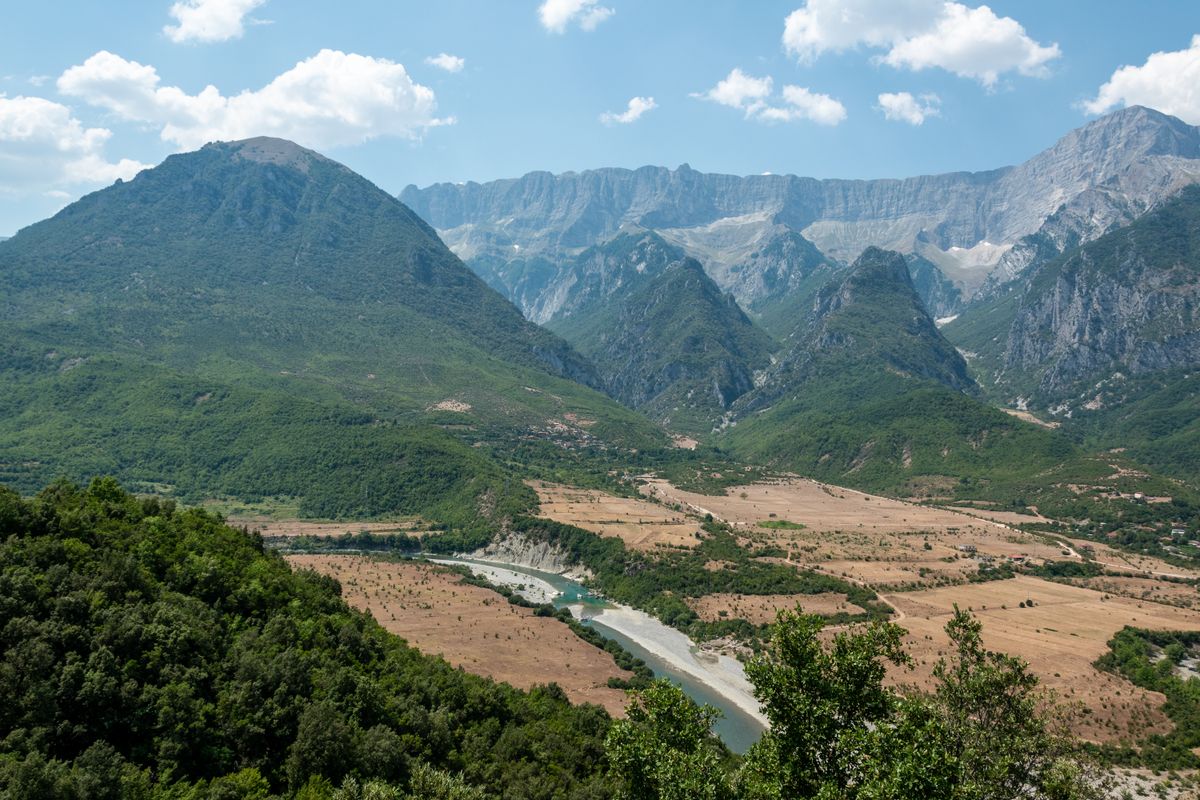
The name appears in Albanian as Bjeshkët e Nemuna and in Serbian and Montenegrin as Prokletije, both meaning the same thing. The massif closes the Dinaric Alps to the south and contains their highest summits: Jezerca at 2,694 metres, in Albania, and Gjeravica at 2,656 metres, the highest in Kosovo.
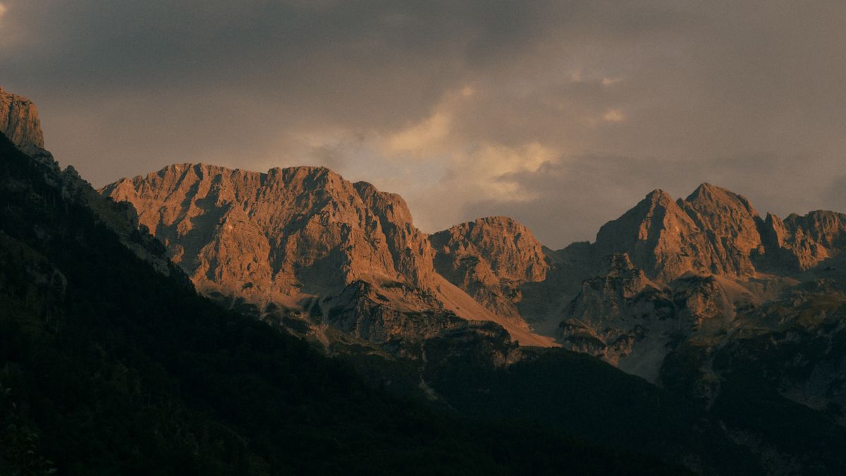
The rock is limestone, which gives sheer forms, deep gorges and, importantly for a walker, very little surface water on the ridges. The valleys are well watered, though, with streams and small glacial lakes at altitude.
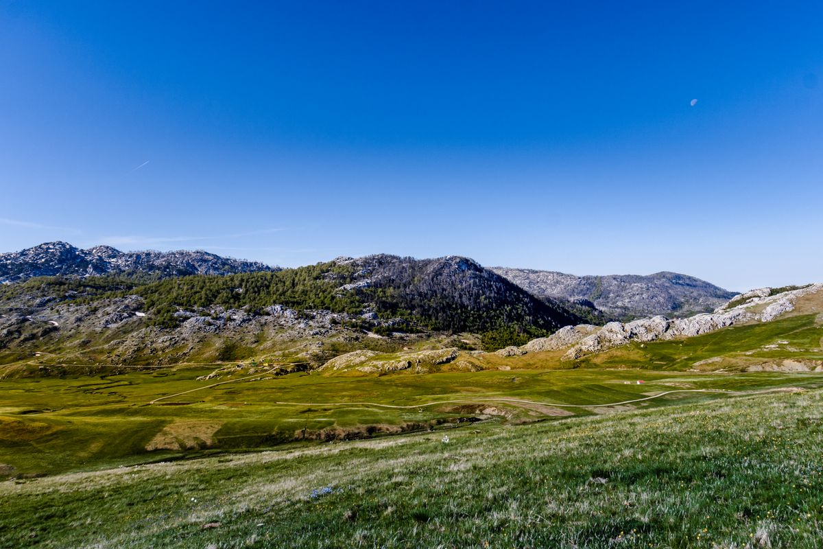
The Kosovo side has been protected as a national park since 2013, under the name Bjeshkët e Nemuna, covering around sixty two thousand hectares. The gateway is the town of Pejë, from which you climb straight into the Rugova valley.
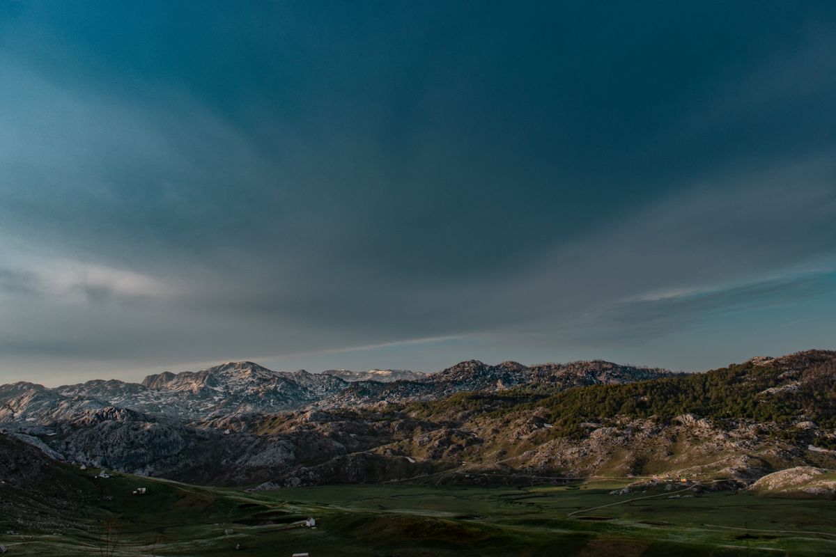
Peaks of the Balkans, the trail that crosses three countries
This is the best known thing about the range and the reason walkers come from across Europe. The trail runs about one hundred and ninety two kilometres, is circular, and crosses Kosovo, Montenegro and Albania. It was laid out in 2012 through a development cooperation project, precisely in order to bring income to the mountain villages.
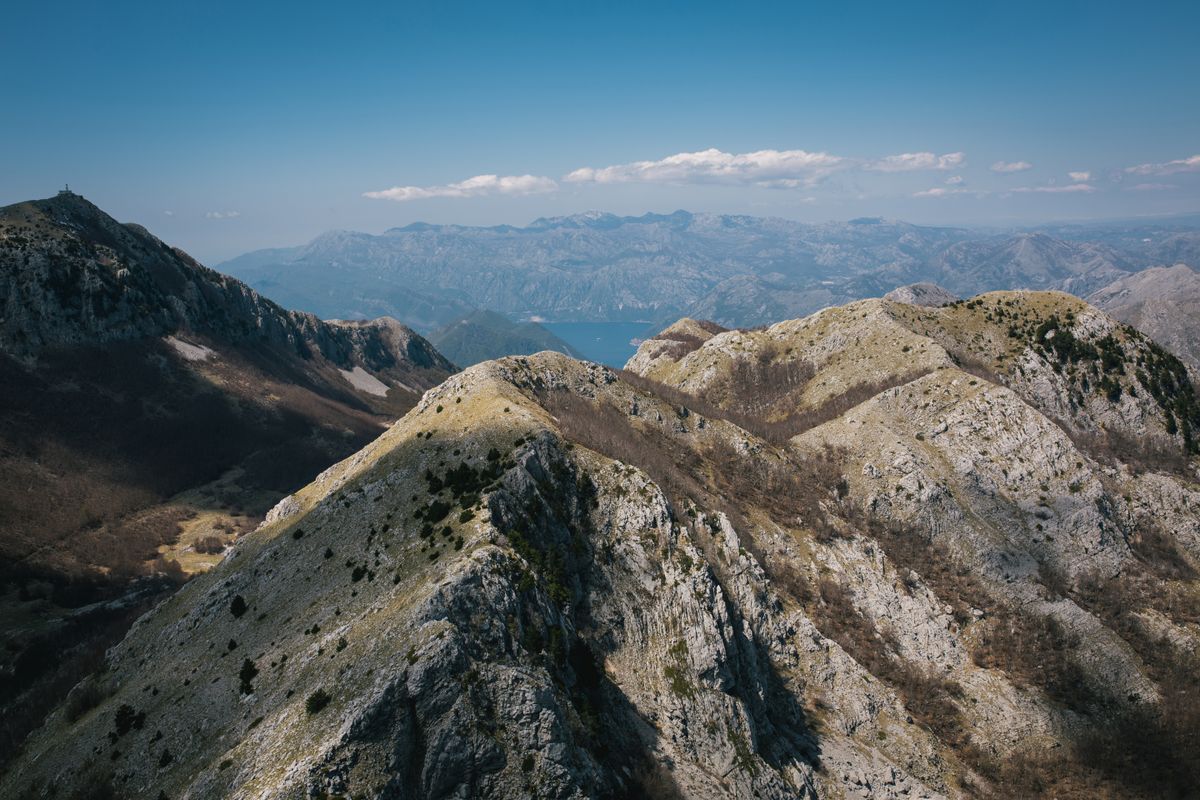
- It is normally walked in ten stages, sleeping in family guest houses in the villages.
- Cumulative ascent passes ten thousand metres, so it is not a route for beginners.
- Stages run ten to twenty kilometres, with sustained climbs over passes above two thousand metres.
- It can also be walked in part, in loops of three or four days, if you do not have two weeks.
- Waymarking exists but is not uniform everywhere. A GPS track downloaded to your phone is not optional.
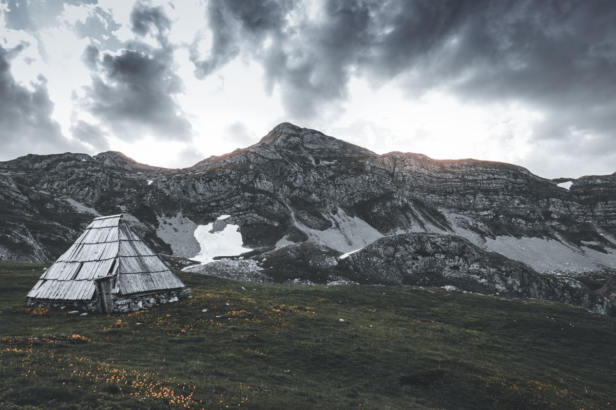
The trail crosses borders at points that are not official crossings, so you need permits issued by the police of each country you pass through. They are applied for in advance, with passport details, and processing usually takes one to three weeks. They cannot be obtained on the spot and cannot be talked through with a border guard. The simplest route is to request them through local agencies or tourism associations in Pejë, Plav or Theth, which do this routinely for a small fee. Start the process at least a month before you travel.
The Rugova valley and what to do without a long trek
If you do not want ten days on the mountain, the Kosovo side offers enough for two or three days with a base in Pejë. The Rugova gorge begins immediately outside town and runs for about twenty five kilometres, with vertical walls on both sides of the road.
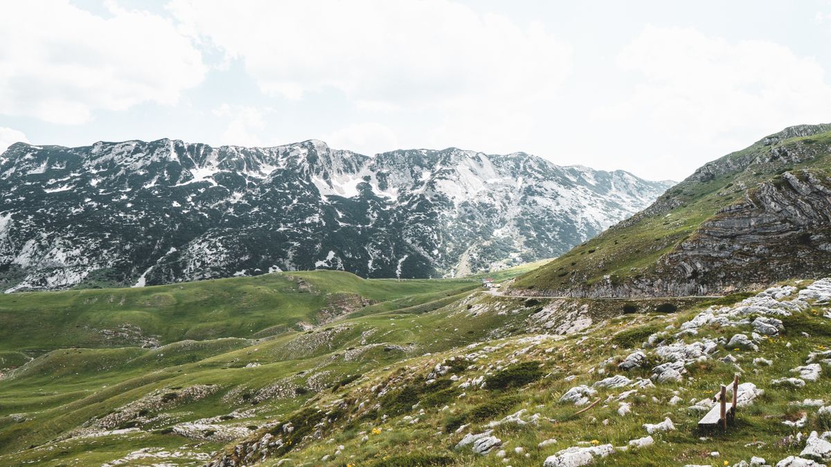
- The via ferrata in the gorge, one of the longest in the region, with several difficulty options and equipment hired on site.
- The zipline across the gorge, popular and accessible without experience.
- The villages of Kuçishtë, Drelaj and Reka e Allagës, with guest houses and access to the paths.
- The Liqenat lakes, an easy walk of a few hours, suitable for families.
- Boge, the small winter resort, used in summer as a starting point.
- The Radavc cave and the source of the Drini i Bardhë river, a few kilometres from town.
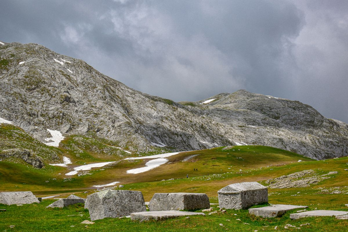
The ascent of Gjeravica, the highest peak in Kosovo, is usually made from the Junik area, in a long day of eight to ten hours return. It is not technical, but it is long and exposed, and navigation on the upper plateau needs care in fog.
The real risks and how to handle them
These are not dangerous mountains in the alpine sense, but they have three features a walker used to gentler ranges will not anticipate.
The first is navigation. Waymarking is uneven, fog rises fast in the afternoon and there is no phone signal in entire valleys. An offline map, a GPS track loaded beforehand and a power bank are mandatory rather than advisable.
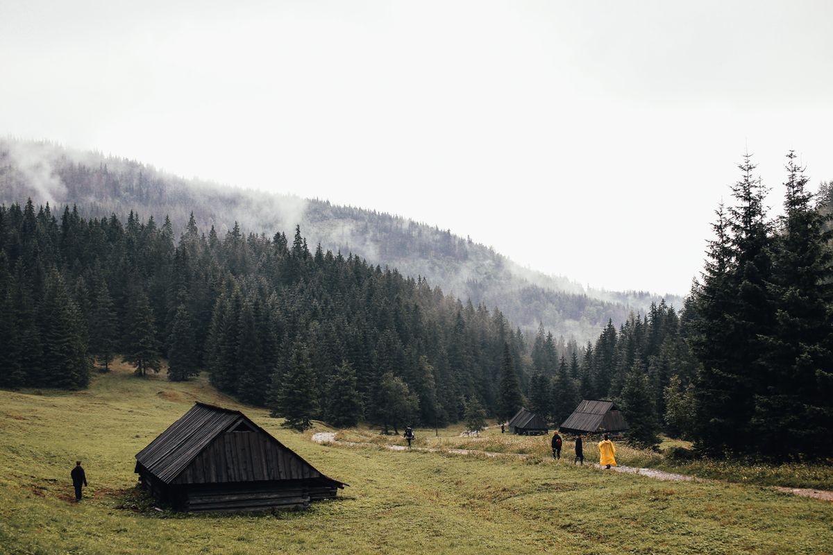
The second is water. On the limestone ridges there are no springs, and between two villages there can be seven hours with no source at all. Set out with at least two litres a person and refill in every village.
The third relates to the recent history of the region. After 1999 some border areas were contaminated with unexploded ordnance, and clearance took years. The current risk to anyone who stays on the marked paths is very low, but the rule stands firm: do not cut across unknown ground, do not enter abandoned structures and do not touch metal objects found lying around.
Bears, wolves and the Balkan lynx live in the range, the last critically endangered with only a few dozen individuals left across the whole Balkans. Encounters are rare. Ordinary bear country behaviour is sufficient.
Accommodation, food and money
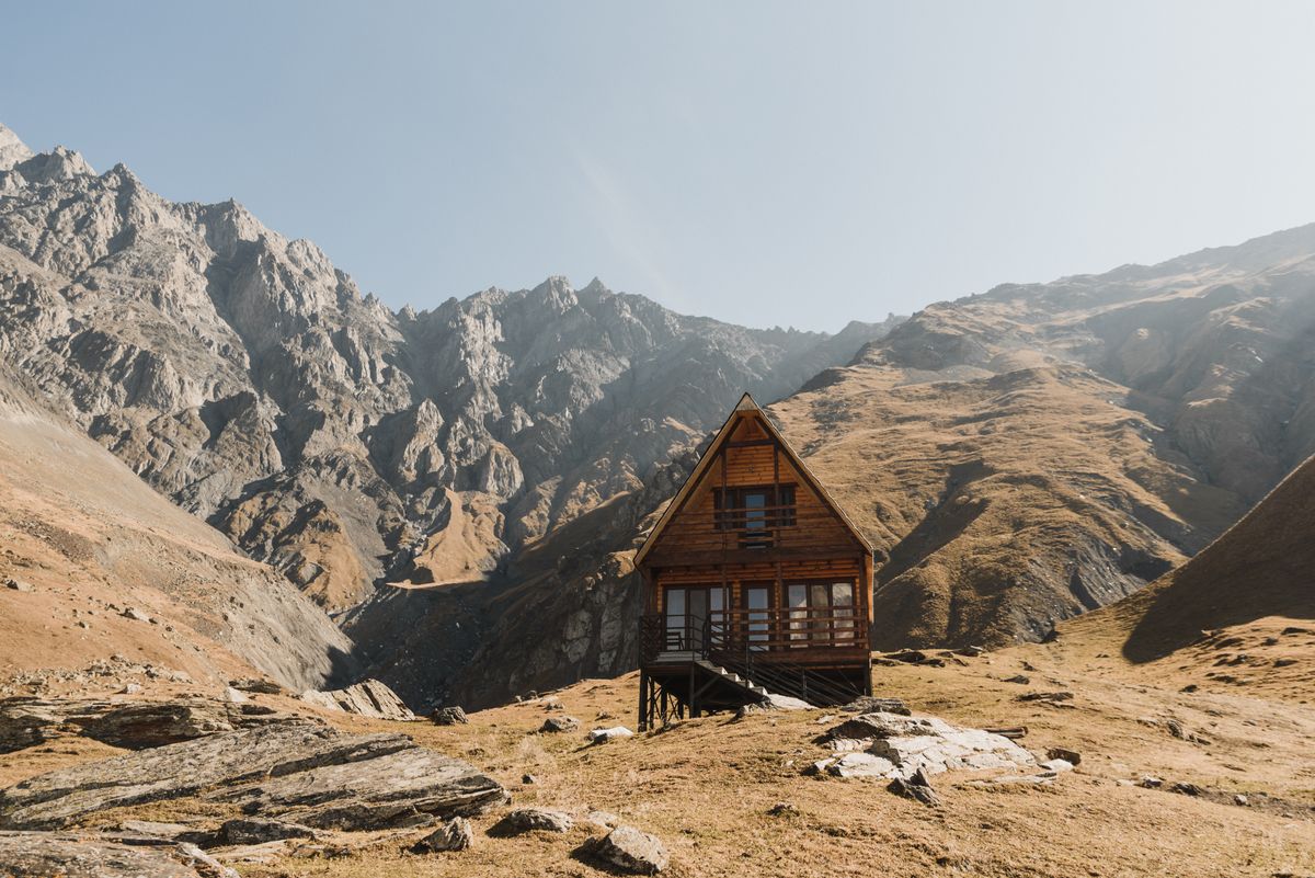
Mountain accommodation is in family houses, which is exactly what the trail was created for. You normally pay a half board rate, twenty to thirty five euros a person, with dinner and breakfast included.
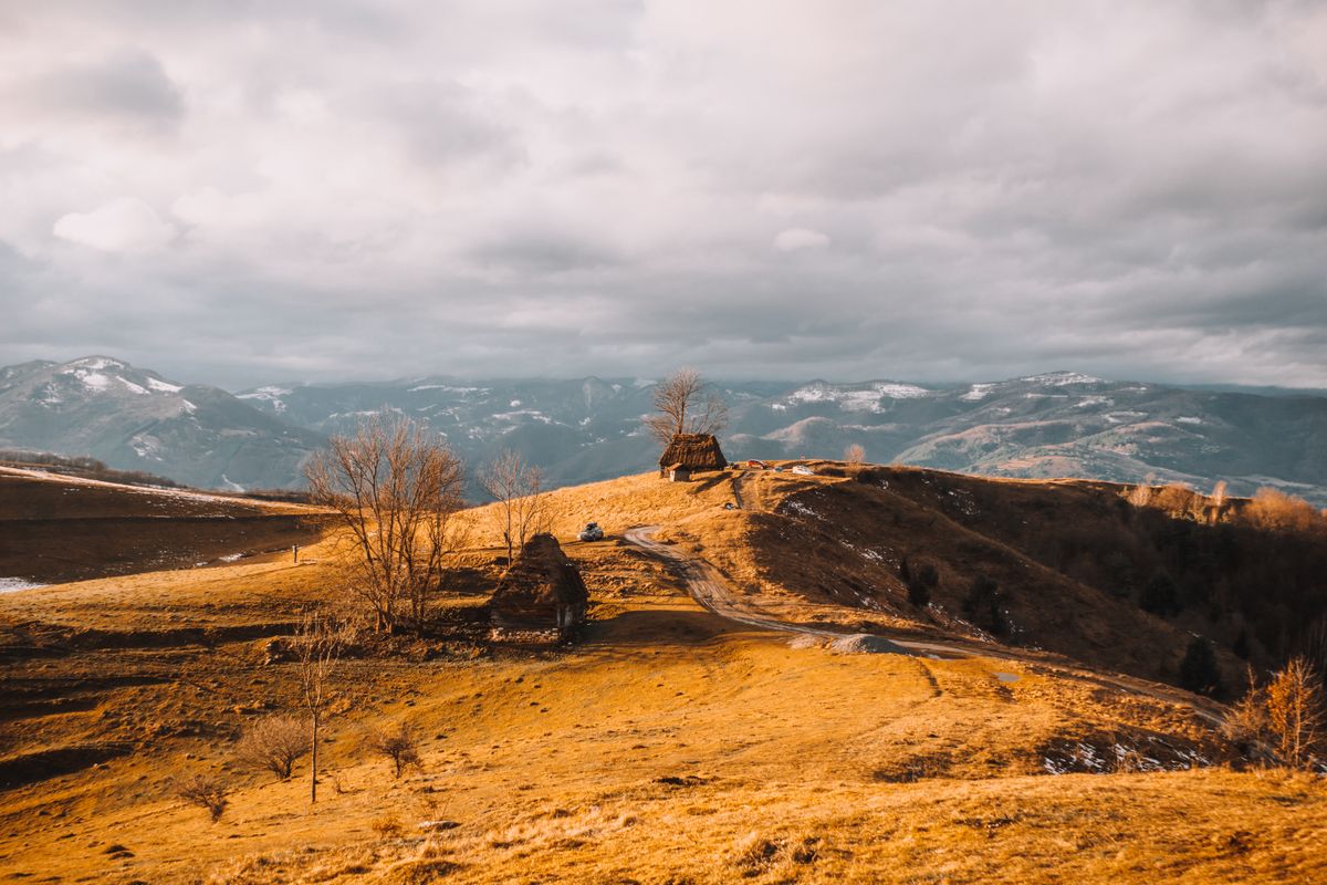
The food is simple and substantial: homemade cheese, pies, beans, baked meat, sometimes trout. Portions are large because the hosts know how far you have walked. Vegetarians manage, but it is worth saying so in advance.
Cash is essential. There are no cash machines in the villages and cards are accepted nowhere. Kosovo and Montenegro use the euro and Albania uses the lek, so on the full circuit you need both. Change money before you go up.
Season, access and planning
| Item | Detail |
|---|---|
| Base on the Kosovo side | Pejë, 1 hour 30 from Pristina |
| Season | mid June to the end of September |
| Snow | lingers on the high passes into June |
| Full trail | about 192 km, 10 stages, over 10,000 m of ascent |
| Permits | apply 1 to 3 weeks ahead, through local agencies |
| Days needed | 2 to 3 for the Rugova valley, 10 to 12 for the whole trail |
| Money | cash essential, euros in Kosovo and Montenegro, lek in Albania |
The season is short and real. Before mid June the passes above two thousand metres still hold snow, and after the first half of October the weather turns unpredictable and many guest houses close. July and August are the most reliable months and the busiest, though busy here means meeting ten people in a day.
The route, the stages and the permit procedure are described by the initiative that manages Peaks of the Balkans, and information about the national park on the Kosovo side by the Kosovo tourism board.
Frequently asked questions (FAQ)
Conclusion
The Accursed Mountains are the only place in Europe where a waymarked trail crosses three countries at points that are not official frontiers, and the whole system works because the mountain villages have an economic reason to keep it alive.
Apply for the permits a month ahead, carry cash and water, load the GPS track onto your phone, and if you do not have ten days, settle for the Rugova valley, which gives a great deal for very little logistics.
