
 By

A chain only fifty seven kilometres long, split between Poland and Slovakia, and the only genuinely alpine mountains between the Alps and the Caucasus. The Tatra mountains have granite ridges, over a hundred glacial lakes and a trail network that ranges from a paved road to routes with fixed chains.
How the range divides, trails by level, the lakes, Zakopane as a base, and what the Slovak side offers that the Polish one does not.
What the Tatra mountains are
The range runs east to west along the Polish and Slovak border and splits into three parts: the High Tatras, which are granite, sharp and above 2,000 metres; the Western Tatras, which are gentler and largely limestone; and the small Belianske Tatras entirely in Slovakia.
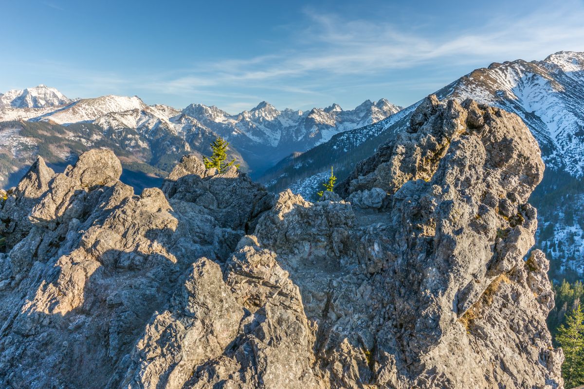
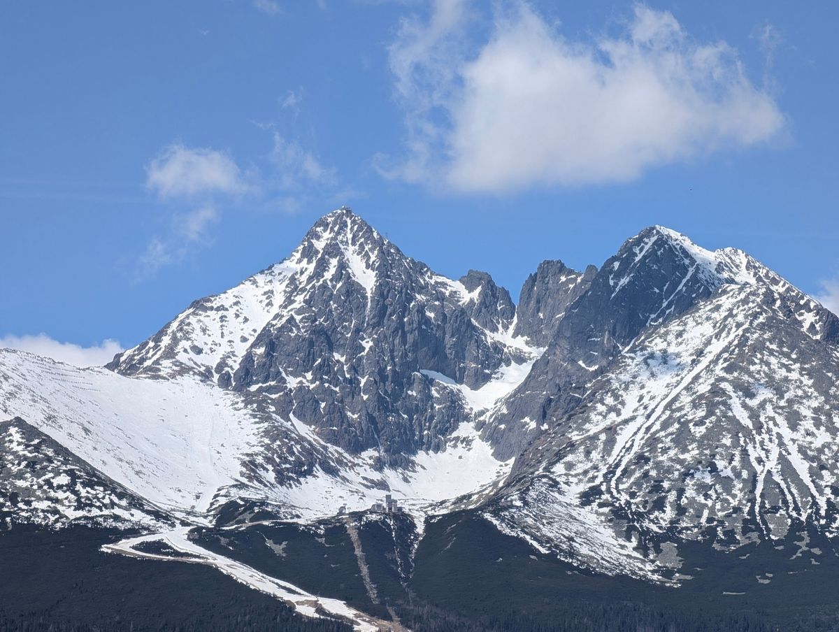
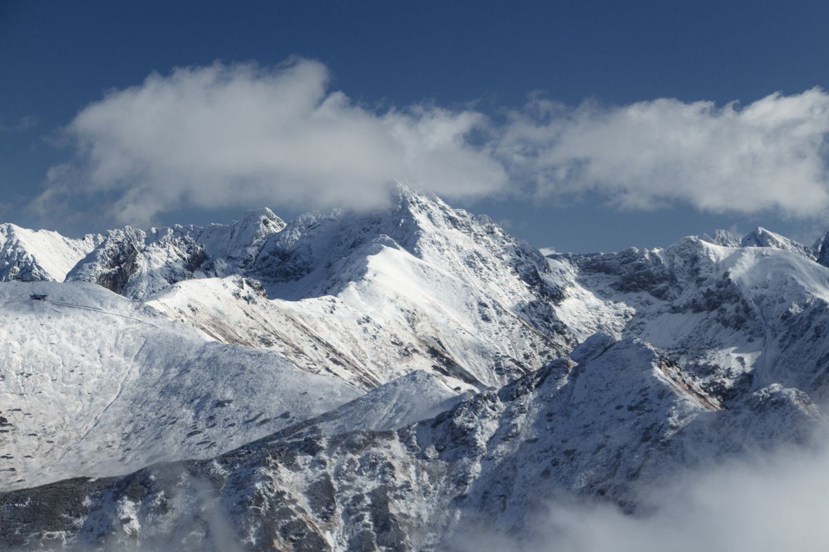
The highest point is Gerlach at 2,655 metres, on the Slovak side. The Polish high point, Rysy at 2,499, sits on the border and is the classic ambition of Polish walkers.
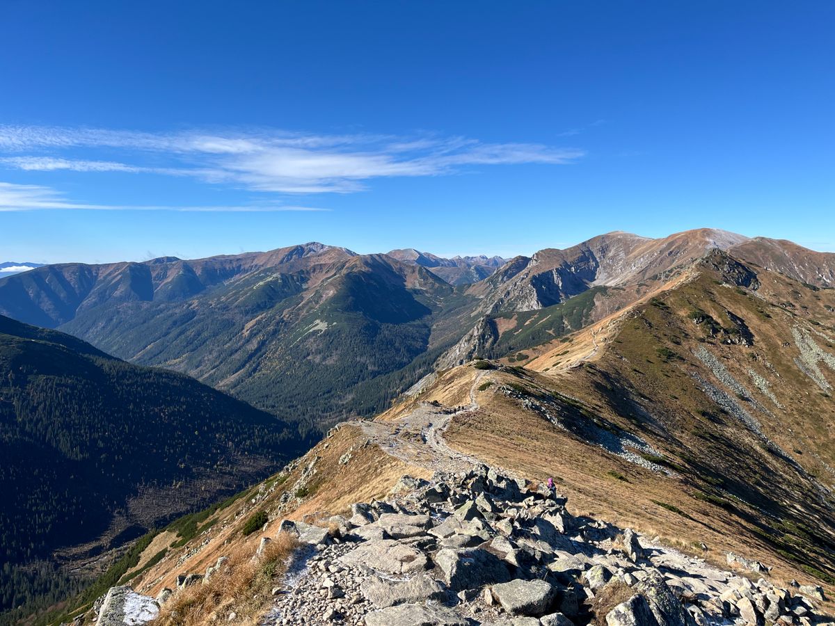
Trails by level
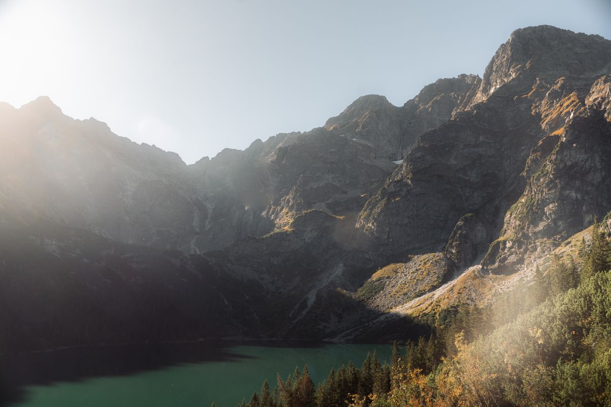
- Morskie Oko: nine kilometres of paved road from the car park, no difficulty, and the busiest walk in Poland.
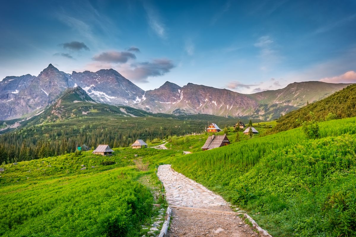
- Hala Gasienicowa: two to three hours to a plateau with a mountain hut and lakes.
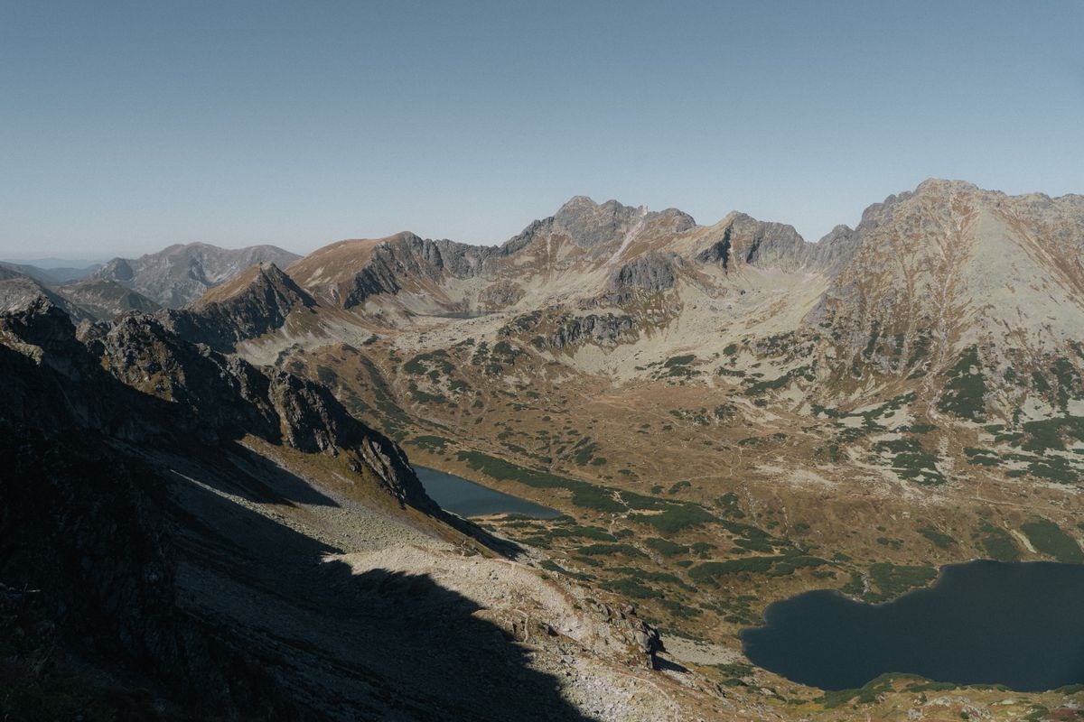
- The Valley of the Five Polish Lakes: a full day, with real ascent and a hut at the top.
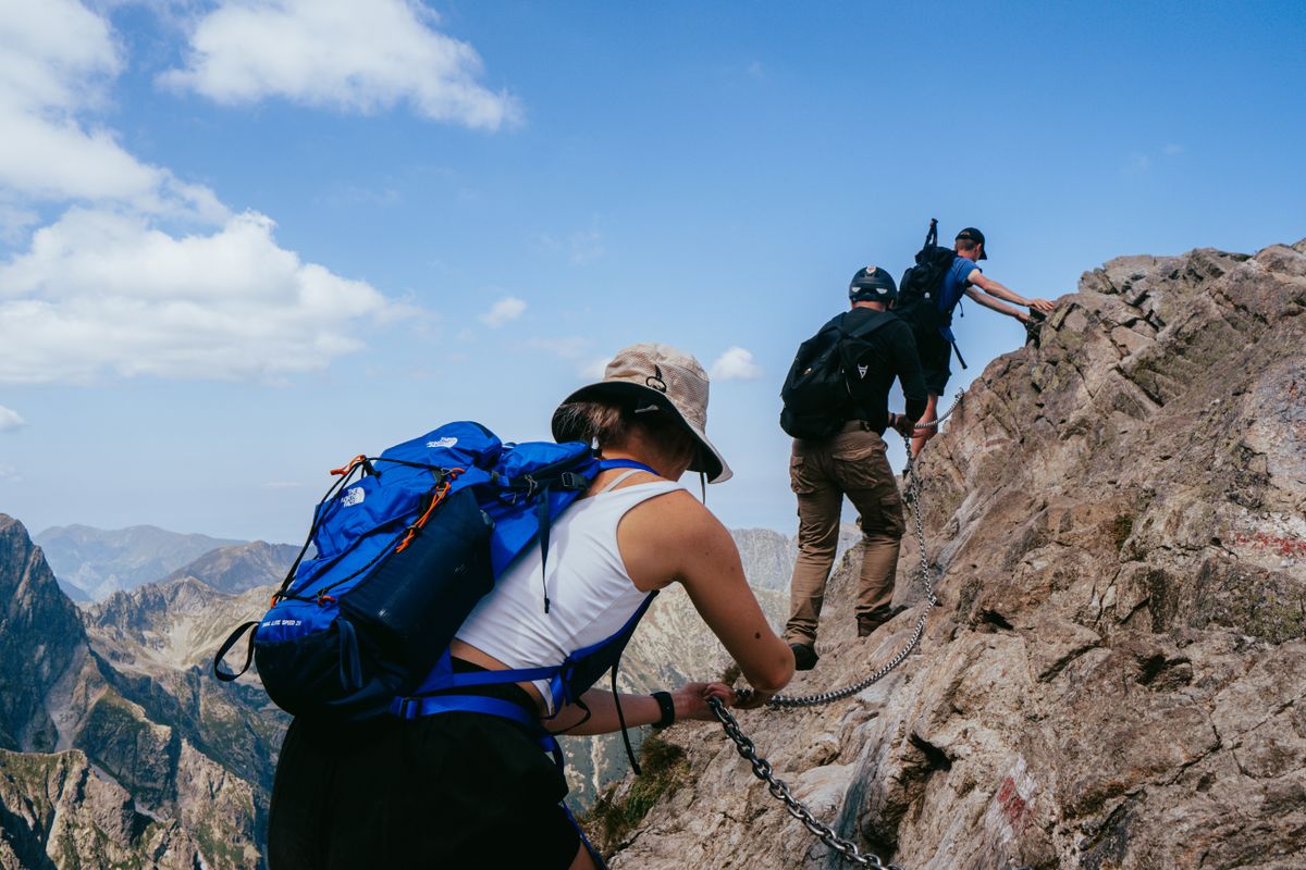
- Giewont: about five hours return to the cross on the summit, steep, with chains near the top.
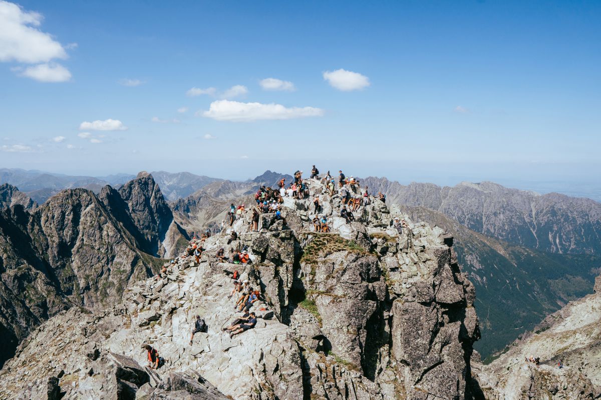
- Rysy: a serious full day with chains and exposure, and snow into July.
- Orla Perc: the hardest waymarked route in Poland, one way only, and it kills people most years.
The glacial lakes
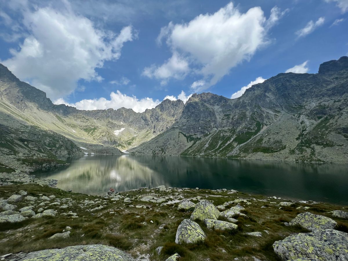
There are over a hundred of them, called eyes of the sea in Polish folklore because they were believed to connect underground to the Baltic. They sit in cirques scooped out by glaciers that retreated around ten thousand years ago.
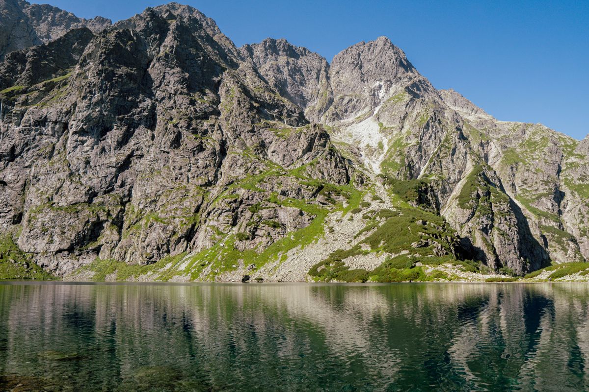
Morskie Oko is the famous one and the most visited. The Five Lakes valley above it is harder to reach and considerably better. Swimming is forbidden in all of them, and the water is close to freezing in any case.
Zakopane, the Polish base
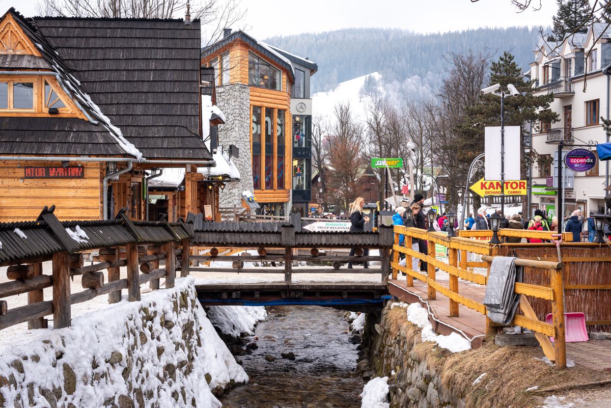
A mountain town of about 27,000 people that receives several million visitors a year. Krupowki, the pedestrian main street, is a continuous line of stalls, grilled cheese and souvenir shops, and it is either good fun or unbearable depending on your tolerance.
What is genuinely interesting is the Zakopane style: a wooden architecture invented in the 1890s by Stanislaw Witkiewicz as a deliberate Polish national style, and visible in the older villas and the chapel at Jaszczurowka.
Mountain huts, food and accommodation
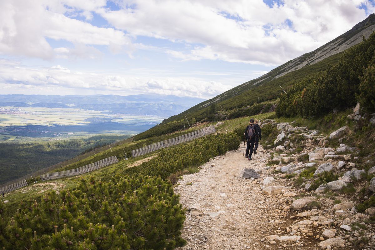
The Polish hut system is old, cheap and well run. Huts serve hot food, sell beds in dormitories and shared rooms, and never turn anyone away in bad weather, though that may mean a mattress on the floor.
On the food: oscypek is the smoked sheep cheese sold grilled with cranberry sauce on every corner, and the genuine version is a protected product. Kwasnica, a sour cabbage soup with ribs, is the mountain dish worth ordering.
The Slovak side
The Slovak Tatras are larger, hold more of the high peaks and receive noticeably fewer walkers. Strbske Pleso, Stary Smokovec and Tatranska Lomnica are the three resorts, linked by an electric railway that runs along the foot of the range.
A cable car climbs to Lomnicky Stit at 2,634 metres, one of the highest accessible points in the range, with a limited number of tickets per day. Above certain altitudes, Slovak trails close between November and mid June.

When to go and what you need
| Item | Detail |
|---|---|
| Season | mid June to October for the high trails |
| Snow | lies in the high cirques into July |
| Park entry | a small daily fee on both sides |
| Zakopane | about 2 hours from Krakow by bus |
| Weather | storms build in the afternoon. Start early |
| Equipment | boots with ankle support, waterproofs, and water |
Afternoon thunderstorms are the real danger here: exposed ridges, chains and lightning are a bad combination, and people are killed most years. Start early and turn back. Park rules are published by the Polish national park and the Slovak national park.
Frequently asked questions (FAQ)
Conclusion
Fifty seven kilometres of granite between Poland and Slovakia, with a hundred glacial lakes in it and trails from a paved road to a chained ridge.
Base in Zakopane, start at dawn, go to the Five Lakes rather than only Morskie Oko, and cross to the Slovak side for a day of far fewer people.
