
 By

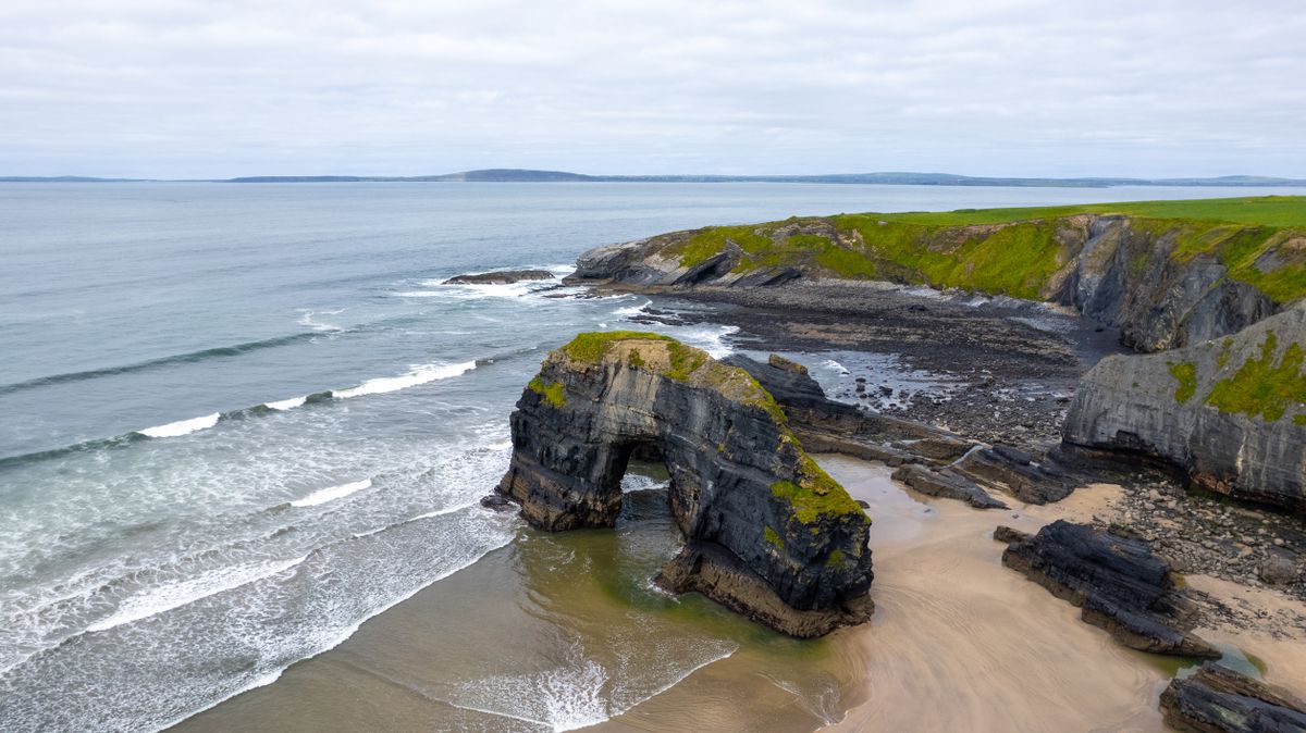
This is the one beach in Europe where the hour you arrive decides whether you see anything at all. Playa de las Catedrales has stone arches thirty metres high that appear and disappear twice a day, and the difference between a good visit and a wasted one is measured in minutes.
How to read the tide table, the free booking that is mandatory in summer, what you see from above and below, the safety rules and where to stay.
What Playa de las Catedrales is
The beach is at Ribadeo, in the province of Lugo, on the north coast of Galicia near the Asturian border. Its official Galician name is Praia das Catedrais, and its administrative one is Praia de Augas Santas. The name comes from arches that resemble the buttresses of a gothic cathedral.
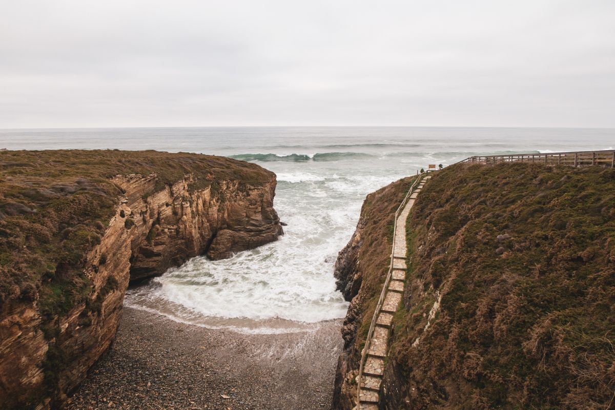
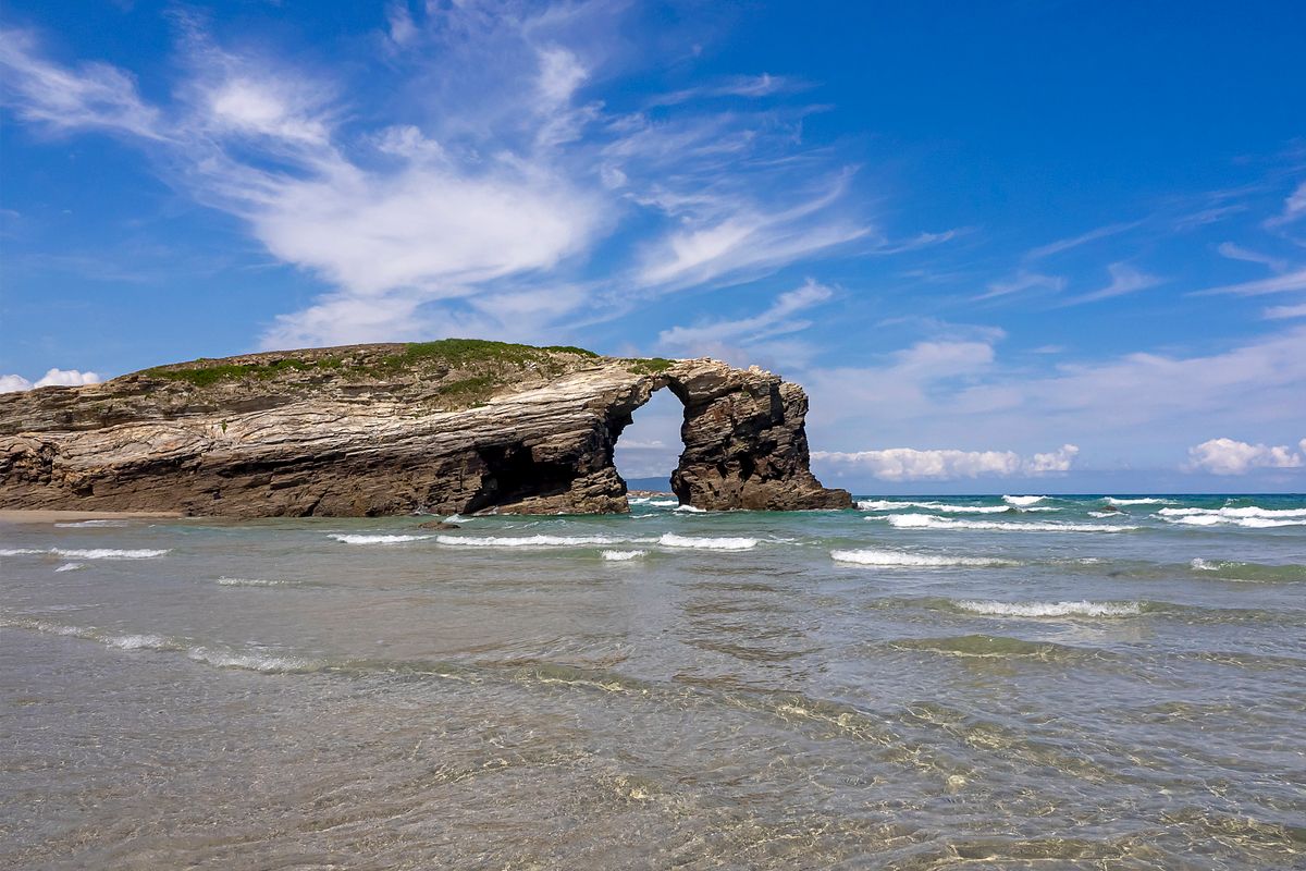
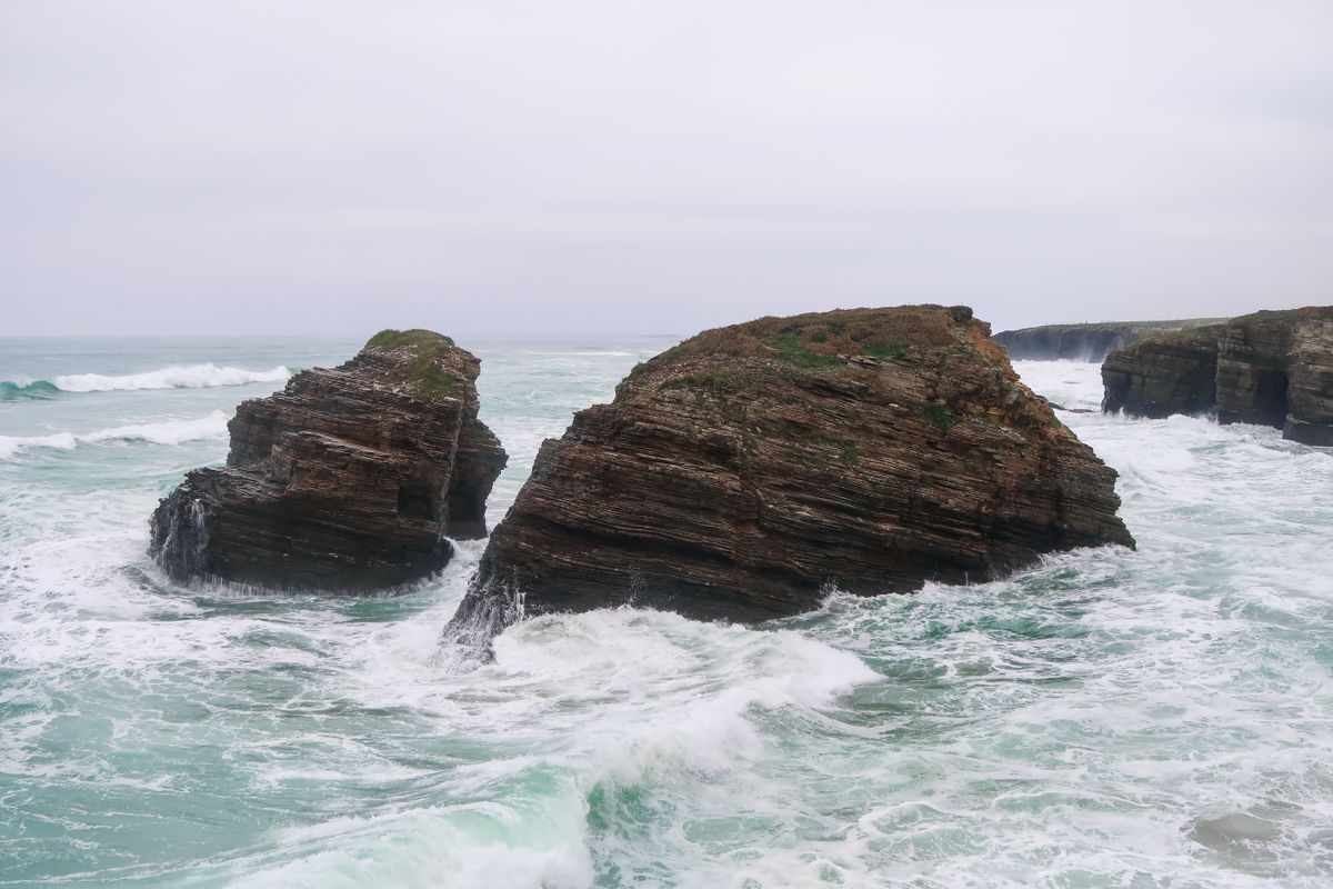
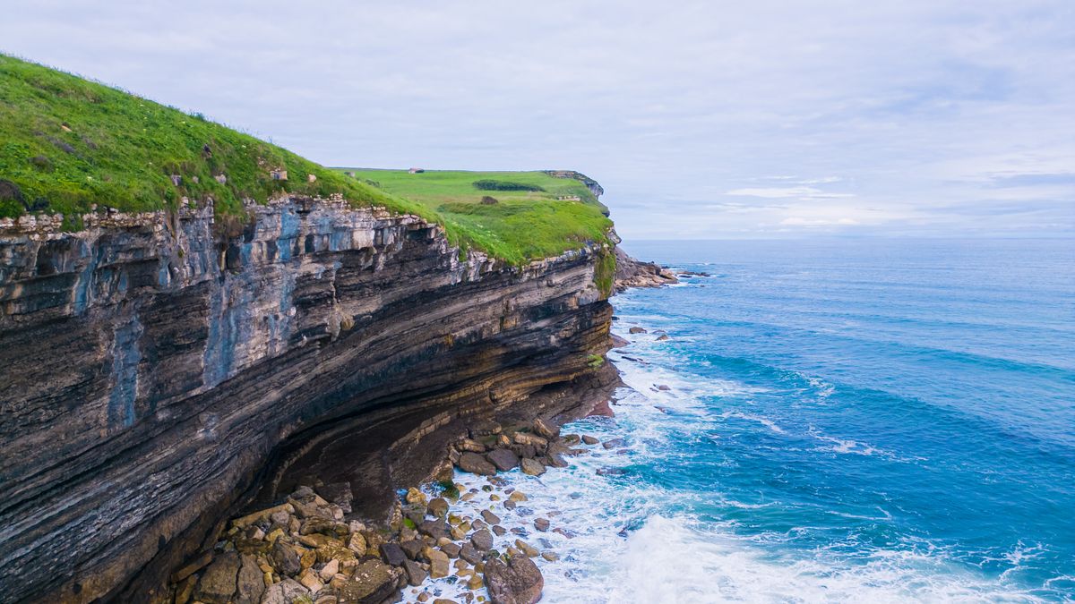
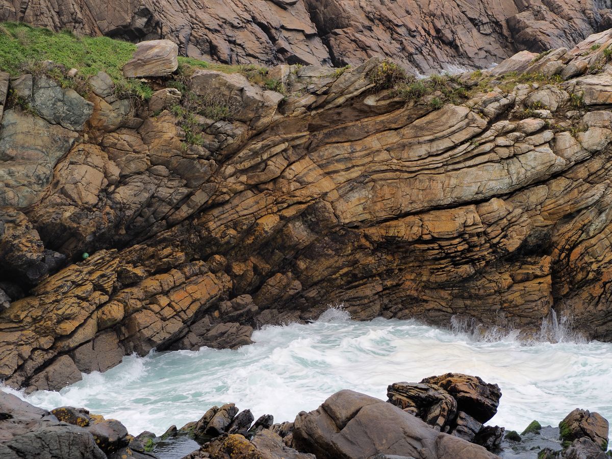
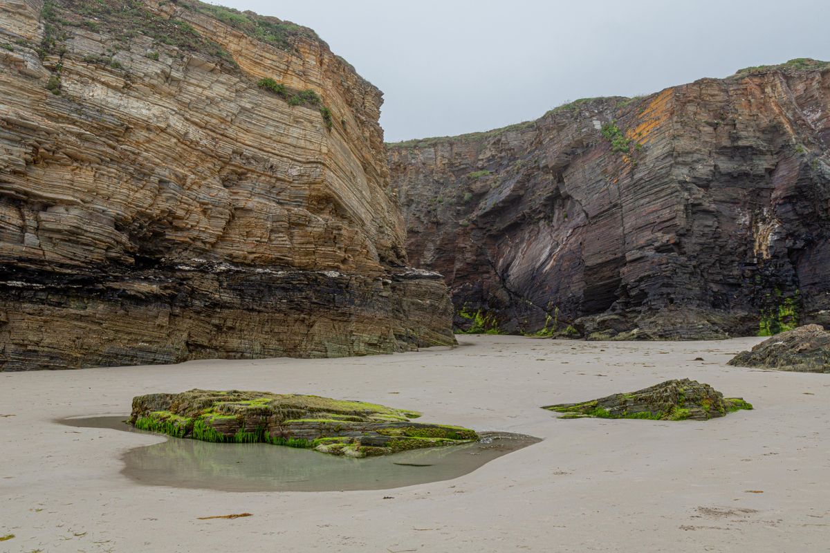
The cliffs are around thirty metres high and made of slate and schist, rock the Atlantic has cut over millions of years into a series of arches, tunnels and caves. The area has been a protected natural monument since 2005.
The tides, the only thing that really matters
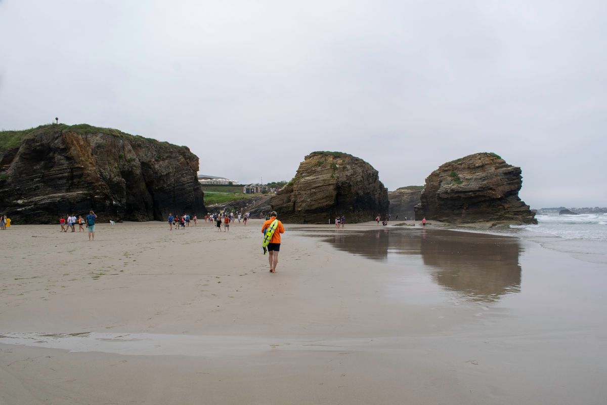
At high water the beach simply does not exist: the sea reaches the base of the cliff and all you see is water hitting rock. At low water a wide strip of sand appears and you can walk under the arches, into the caves and through the tunnels.
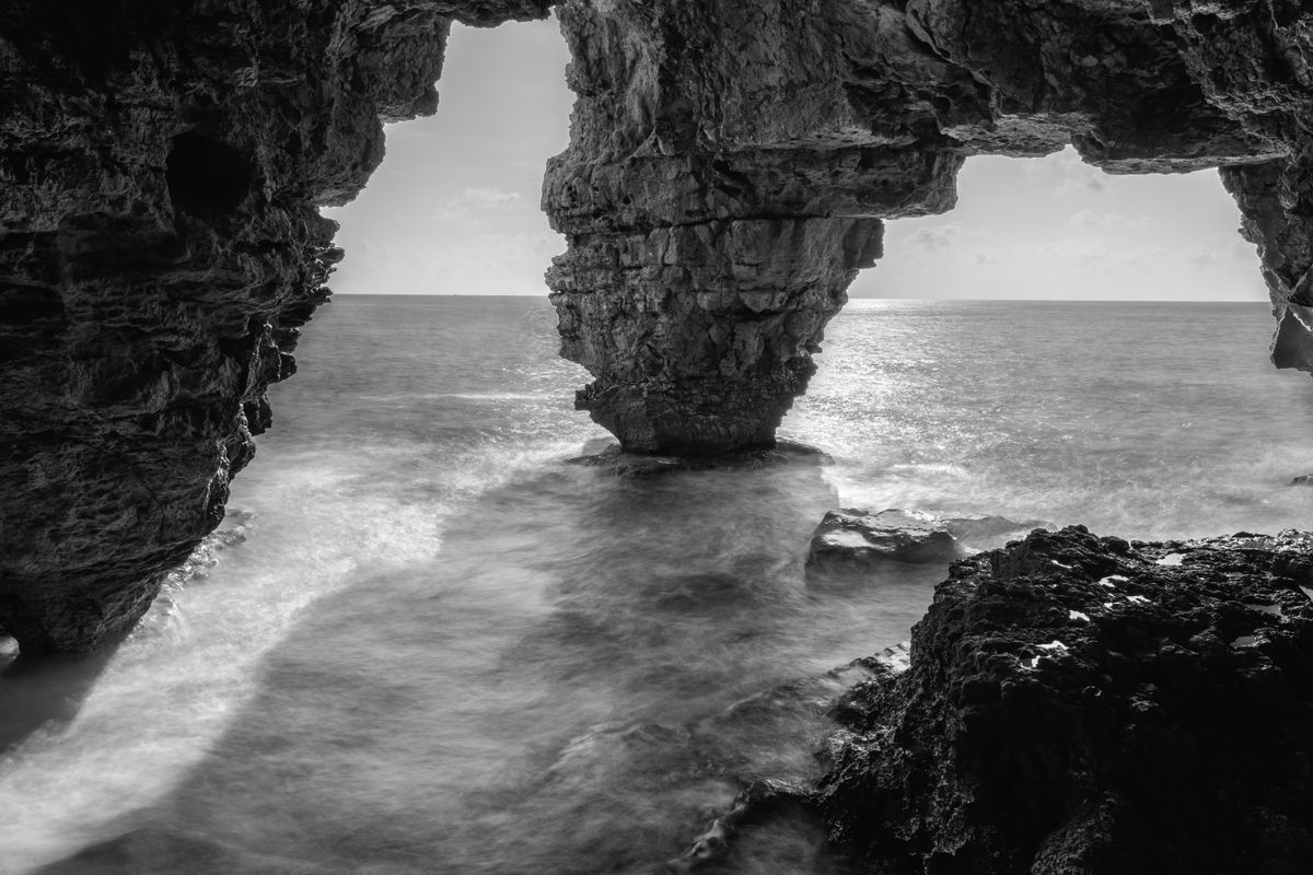
The practical rule is simple. Go down in the window of roughly two hours before and two hours after maximum low water. Outside it the access to the sand can be closed, and if you are already down there you can be trapped between the cliff and the water.
Look for the table for Ribadeo, not for another town on the coast: the difference can be tens of minutes. You want the bajamar, the low water time. A high tide coefficient, above 80, uncovers the most beach. Tables are published by the Spanish hydrographic institute and posted at the entrance, in hotels and at the Ribadeo tourist office.
The free booking, mandatory in summer
Since 2015 the number of visitors allowed onto the sand has been capped in peak periods. Specifically, during Holy Week and in July, August and September a free booking must be made online in advance for a time slot.
The booking costs nothing, but slots for days with a good tide are gone weeks ahead. It is checked at the entrance and without it you do not go down. For the rest of the year access is open and nothing needs booking.
What you see from above and from below
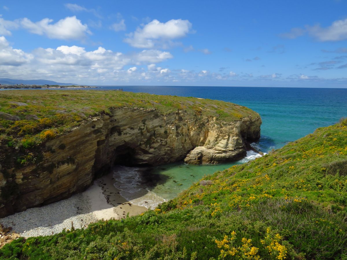
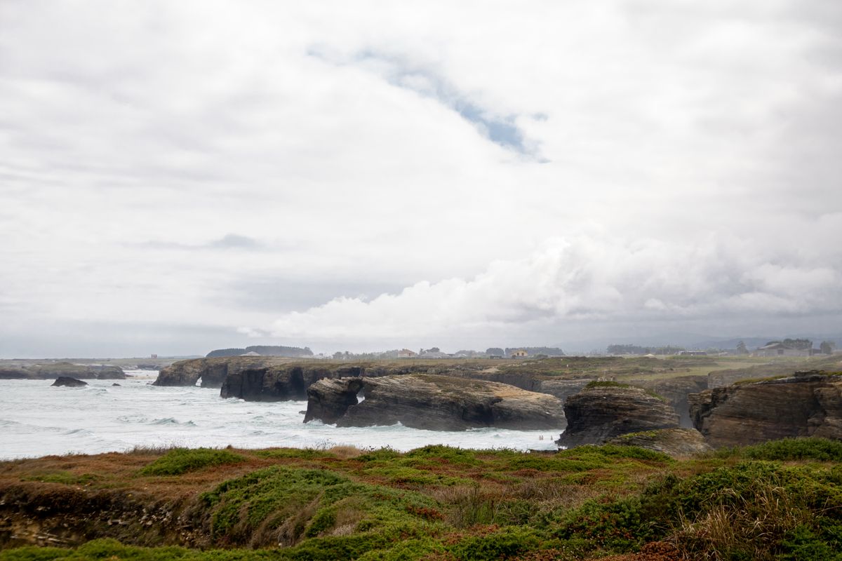
From the clifftop there is a boardwalk with railings and viewing platforms that passes above the arches. It is free, open all year, does not depend on the tide and needs no booking. It gives the overall perspective on the whole formation.
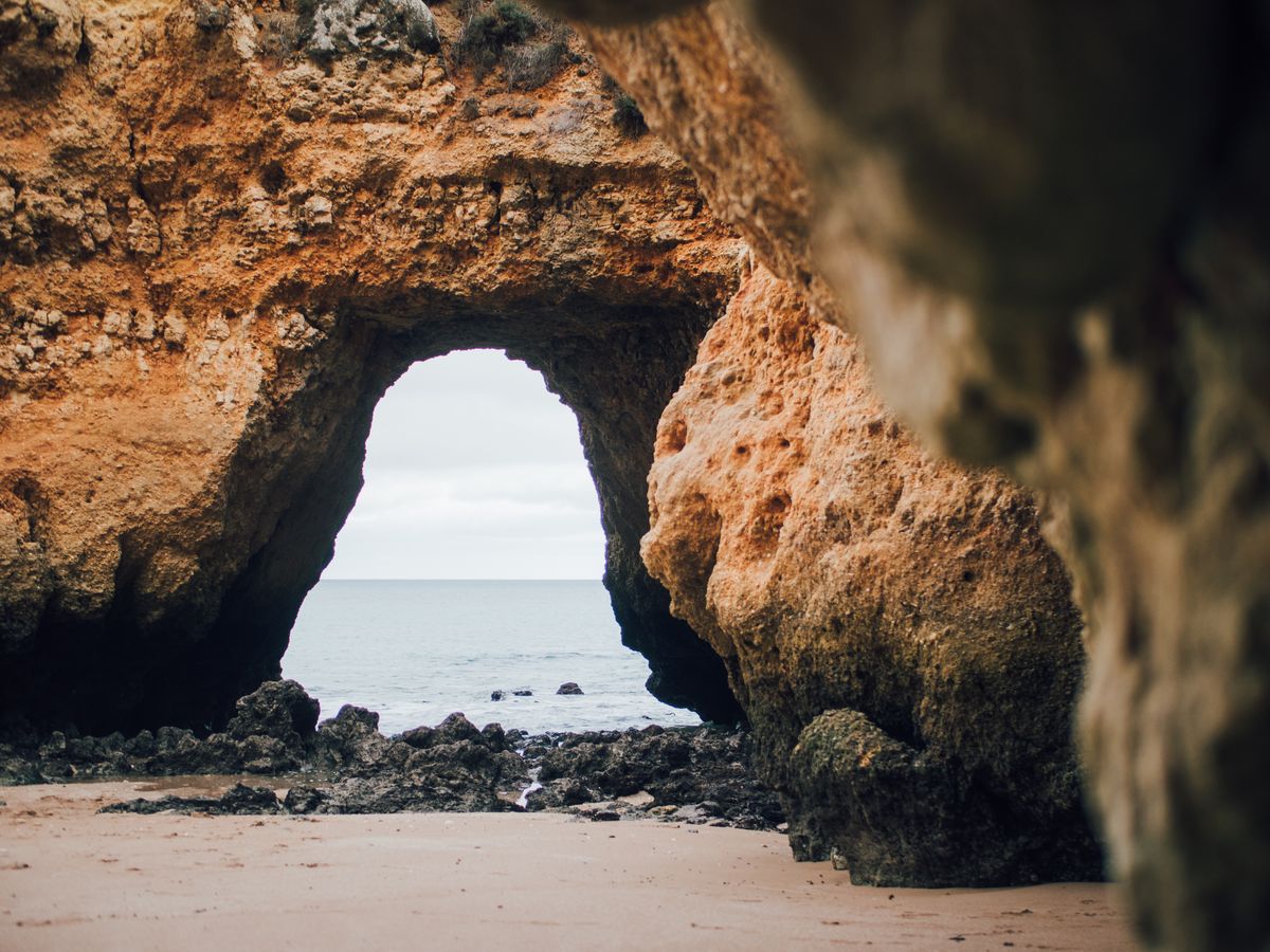
From below, on the sand, you see the arches from inside, walk through tunnels and reach caves where light comes in through openings in the roof. That is what people come for, and it depends entirely on the hour.
Safety rules that are not decorative
- Do not stand under the arches or at the base of the cliff: stones come loose without warning.
- Do not climb the formations. The rock is friable slate, not granite.
- Watch the low water time and start back half an hour before the deadline.
- Shoes with grip: the sand is full of boulders and slippery weed.
- Swimming is not advised: the water is cold, there are currents and no lifeguard.
- With small children, the clifftop path is the sensible option.
Ribadeo and what else is nearby
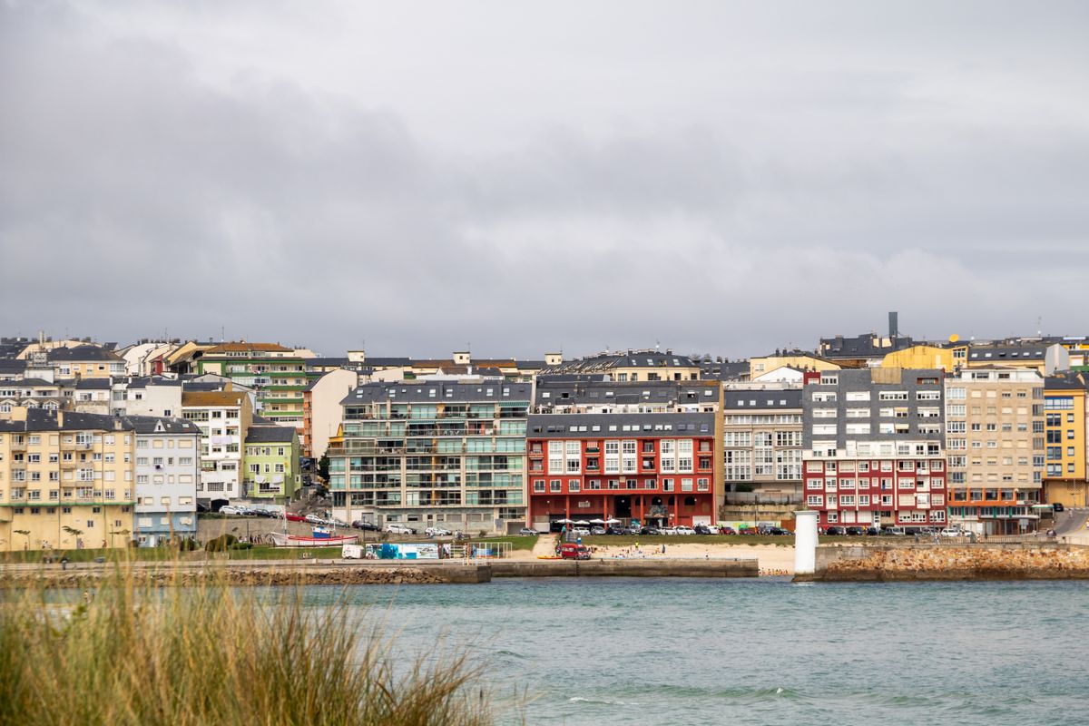
Ribadeo, about ten minutes from the beach, is where you stay. It is a small port on the Eo estuary, with indiano houses built by emigrants who returned wealthy from Latin America, and a long bridge across into Asturias.
Nearby are Los Castros beach, with similar formations and far fewer people, the village of Rinlo, known for its rice with lobster, and, less than an hour east, the Asturian coast at Luarca and Cudillero.
Getting there and when to go
| Item | Detail |
|---|---|
| Location | Ribadeo, province of Lugo, northern Galicia |
| From Santiago | about 2 hours by car |
| From Oviedo | around an hour and a half |
| Booking | free and mandatory in Holy Week and July to September |
| Clifftop path | free, all year, no booking |
| Parking | at the roadside, and full early in summer |
The best time is spring or autumn, on a tide with a high coefficient: no booking is needed, the beach is empty and the low light reaches further into the caves. Summer brings better weather, but also a booking, a queue and a full beach inside the same two hour window.
Bookings and access rules are published by the regional government of Galicia, and tide tables are issued by the Spanish hydrographic institute.
Frequently asked questions (FAQ)
Conclusion
Playa de las Catedrales is one of the few attractions in Europe where planning matters more than weather. Thirty metre arches appear and disappear twice a day, and the hour is the only variable that decides anything.
Check the Ribadeo tide table, book free if you go in summer, go down inside the low water window, wear shoes with grip and never stand under the arches.
