
 By

A limestone massif that rises to over 2,600 metres just twenty kilometres from the Atlantic, with deep gorges, glacial lakes and villages reached by funicular. Picos de Europa was the first national park in Spain, declared in 1918, and it has trails for every level there is.
The trails by grade, the gorge path cut into a rock wall, the lakes with restricted access, the cable car that climbs 750 metres, and what to carry.
What the Picos de Europa are
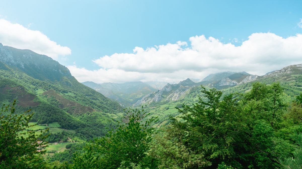
The massif is shared between Asturias, Cantabria and Leon and rises out of green pasture to over two thousand metres in a very short distance. The highest summit, Torre de Cerredo, is 2,650 metres. The name comes from sailors returning across the Atlantic: these were the first peaks of Europe they saw.
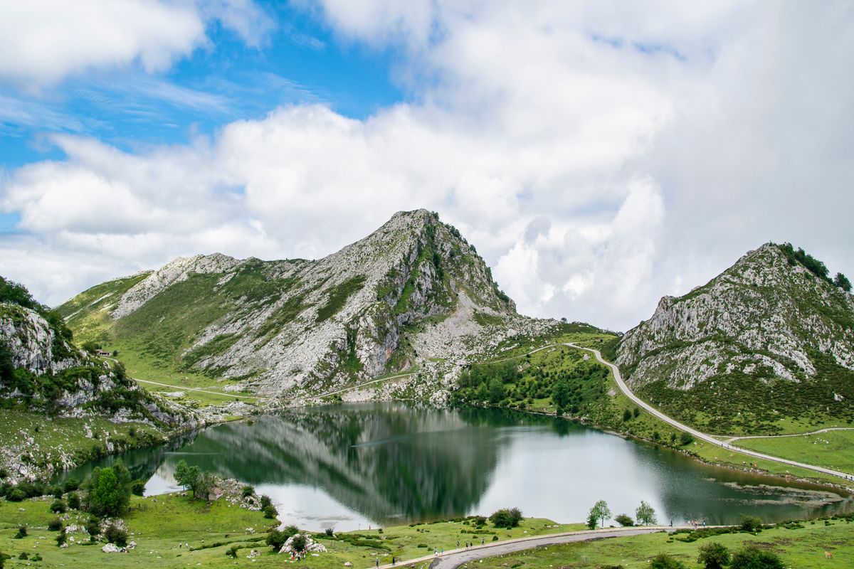
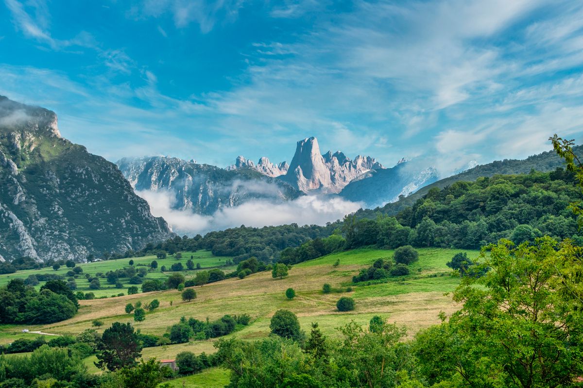
The rock is limestone, which explains the sharp ridges, the deep gorges and the absence of surface water on the plateaus. The cave system beneath includes some of the deepest explored shafts in the world.
The trails, by level of difficulty
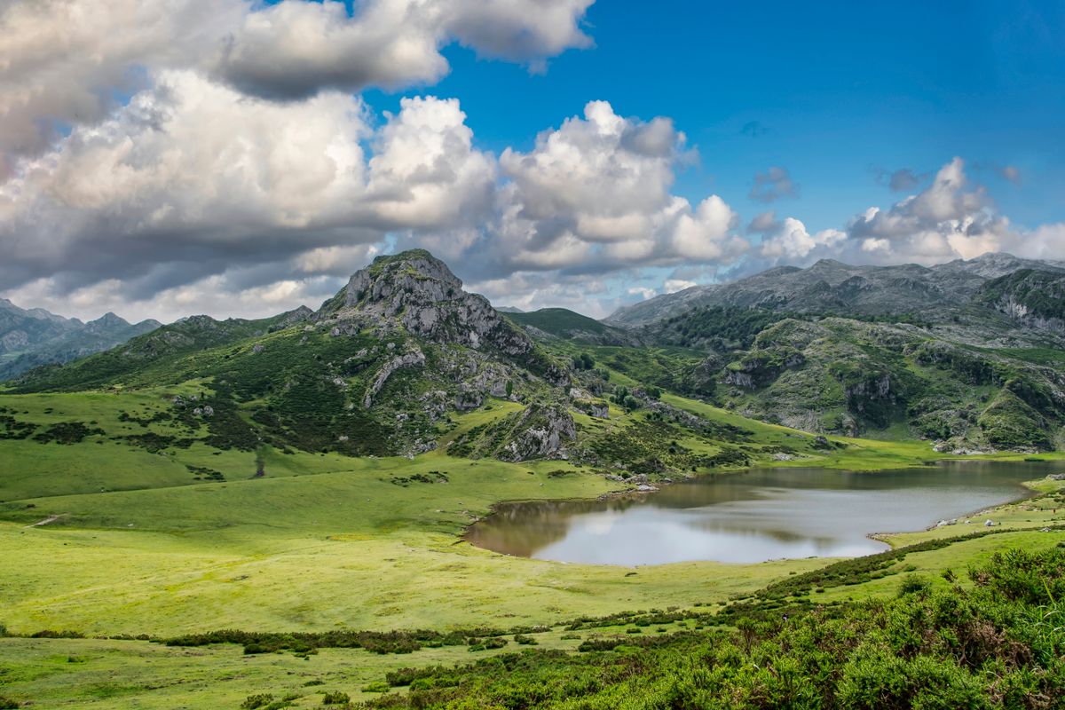
- The Covadonga lakes circuit: about five kilometres around lakes Enol and Ercina, almost flat.
- Ruta del Cares: twelve kilometres one way, a path cut into the gorge wall, little climbing but exposed.
- Fuente De and the upper plateau: cable car to 1,850 metres, then walks from an hour to a full day.
- Bulnes: the village with no road, reached by funicular or on foot, two hours up through the gorge.
- Ruta del Alba: eight kilometres through forest and along water, the least known and one of the best.
- Naranjo de Bulnes: a climbing objective, not a walk, with a vertical face of over five hundred metres.
The Ruta del Cares, the signature trail
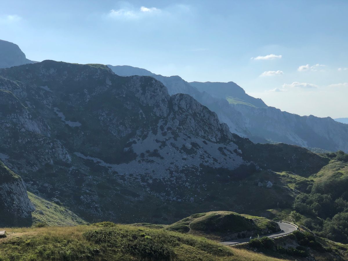
The path links Poncebos in Asturias to Cain in Leon over twelve kilometres of vertical rock wall. It was cut into the stone between 1916 and 1921 to maintain a hydroelectric channel, and it is now the busiest trail in northern Spain.
The height gain is small, but the route is exposed for long stretches, with a drop of several hundred metres directly below the path and no railing in most places. There and back is twenty four kilometres and six to seven hours.
The Poncebos car park fills before nine in July and August, and the path becomes crowded by midday, which is unpleasant on the narrow sections. Carry at least two litres of water per person: there is no source anywhere on the route. The chamois on the rocks are used to people, but do not feed them.
The Covadonga lakes and restricted access
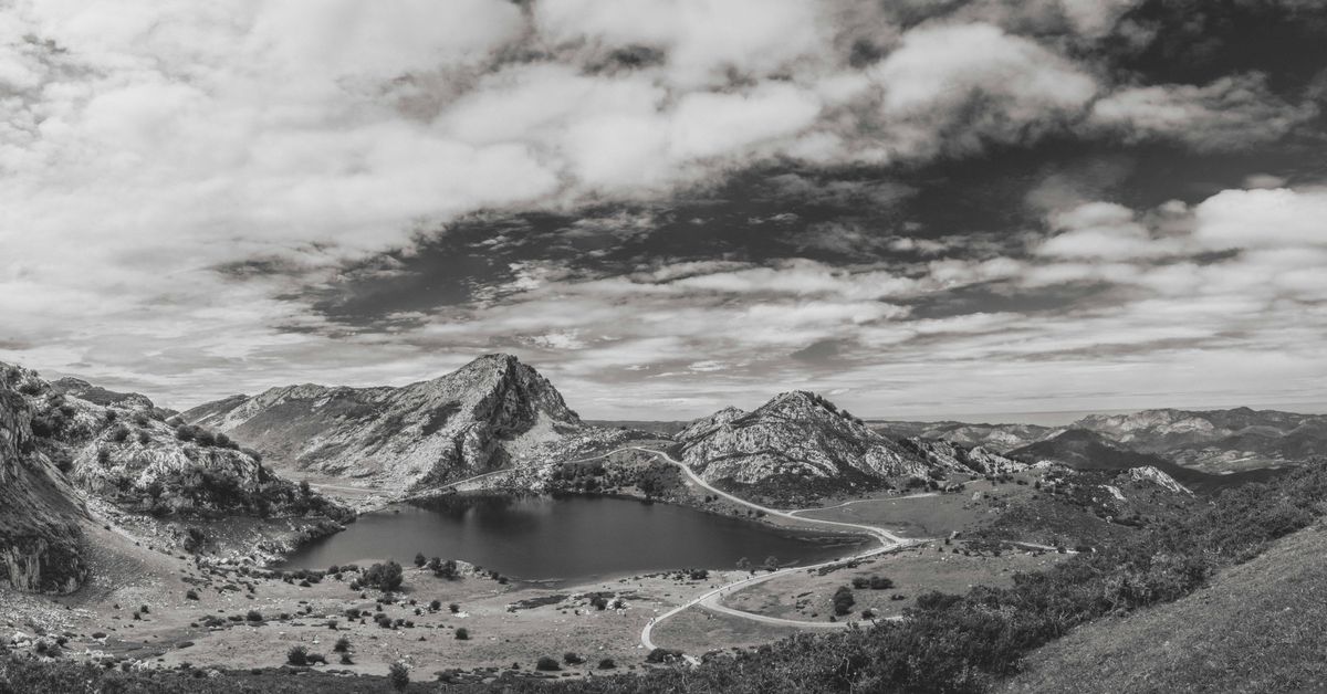
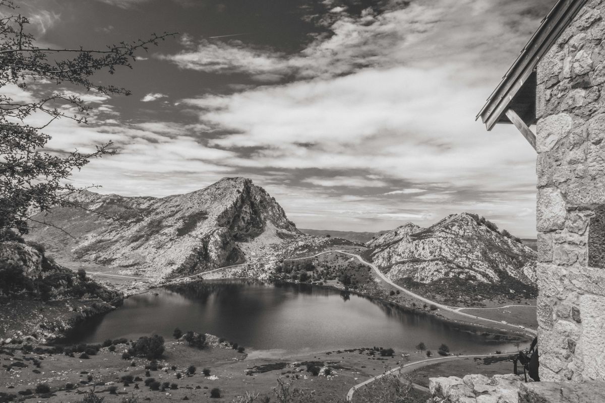
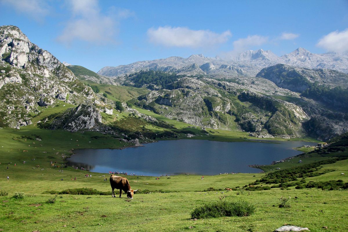
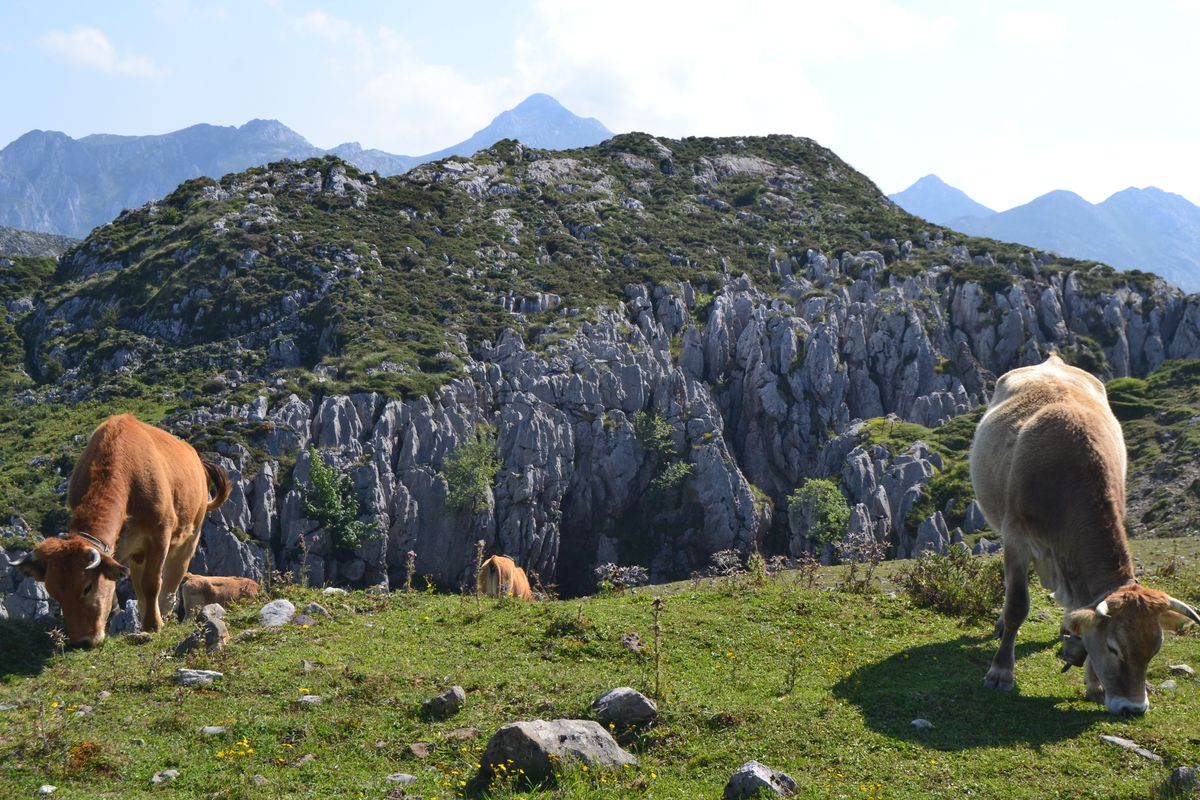
The road climbs twelve kilometres of hairpins from the Covadonga sanctuary to lakes Enol and Ercina, at about eleven hundred metres. The landscape is alpine pasture, with cows and goats that have genuine right of way on the tarmac.
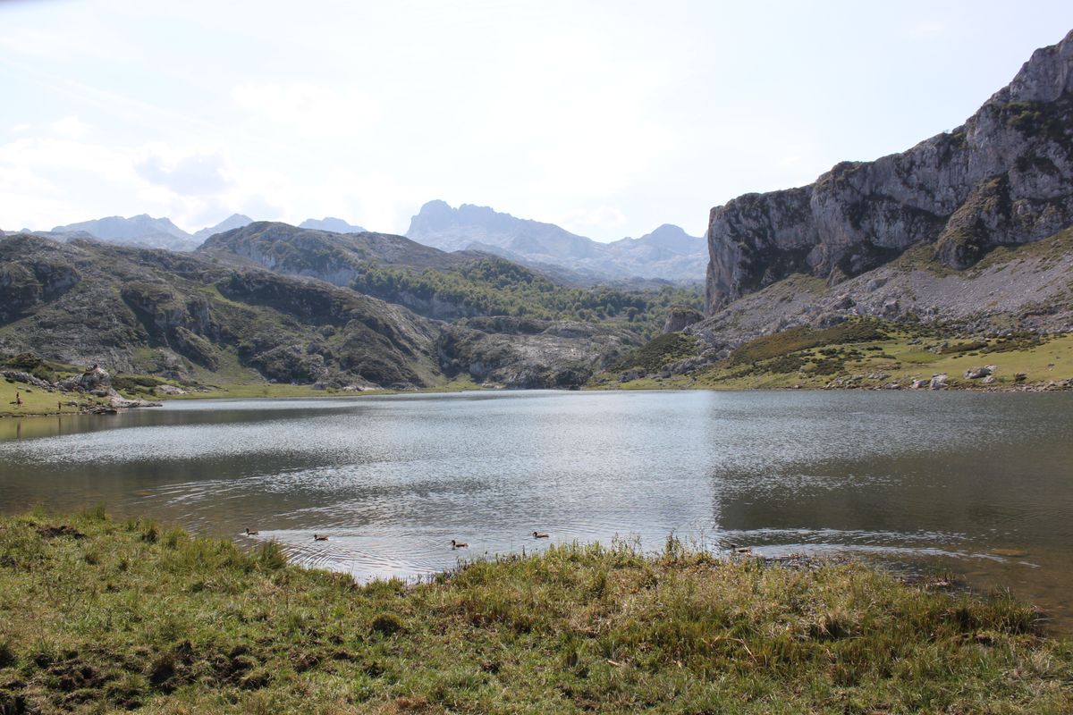
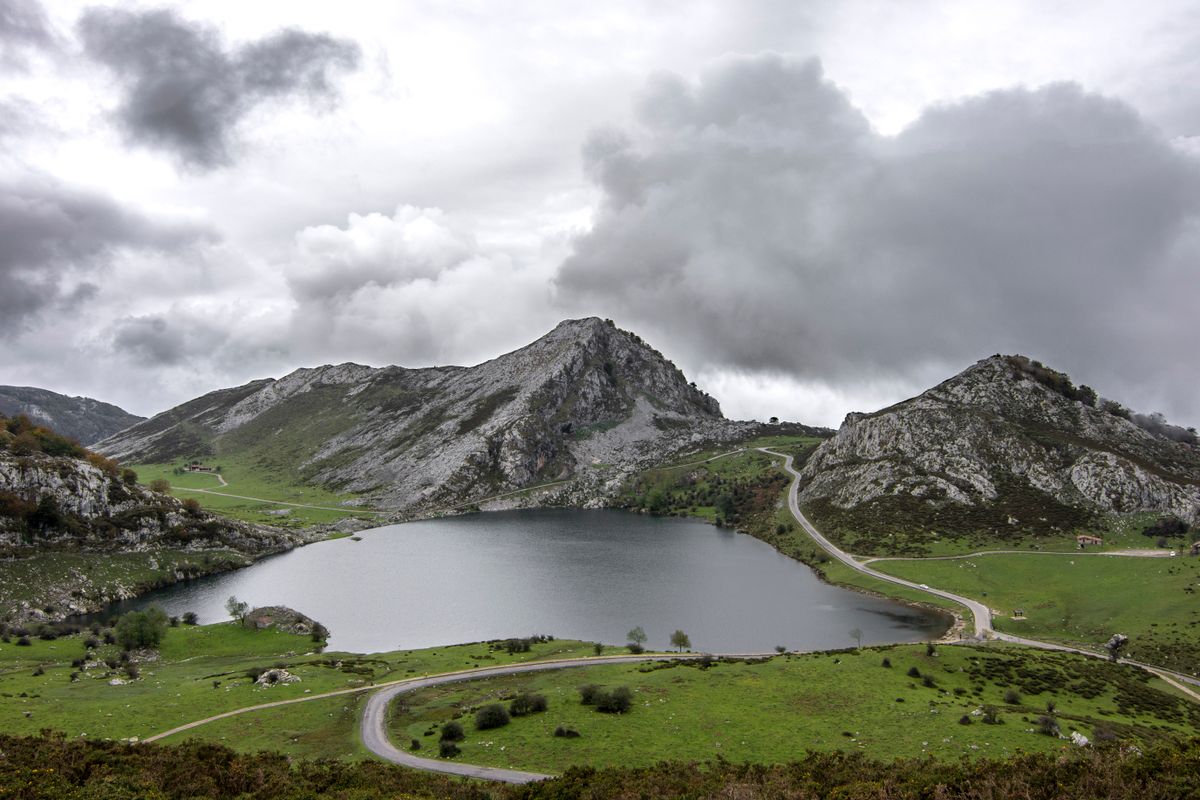
In summer, at weekends and at peak periods, private cars are barred and the climb is made by shuttle bus from car parks in the valley. The scheme is announced annually and checked at the entrance to the road.
The sanctuary at Covadonga
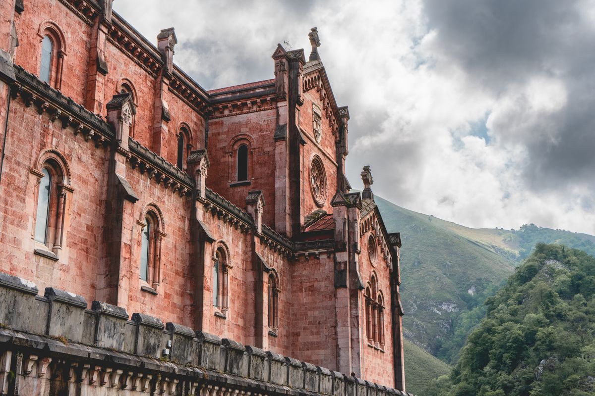
At the foot of the road to the lakes stand the basilica of Santa Maria la Real, a neo-Romanesque building in pink stone raised between 1877 and 1901, and the Santa Cueva, a cave in the rock face holding a small chapel and the tomb of Pelagius.
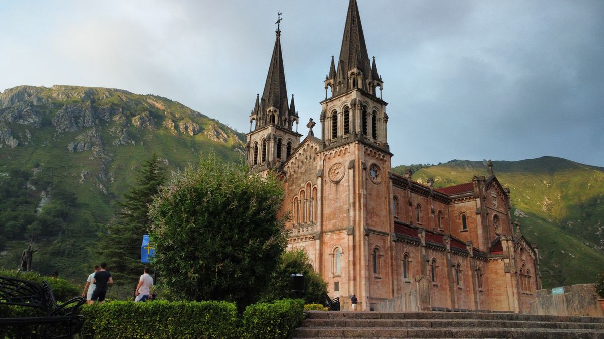
The place carries major historical weight in Spain: here, in 722, is said to have taken place the battle considered the beginning of the Reconquista. The exact facts are debated by historians. The symbolic importance is not.
Fuente De, Bulnes and the Cantabrian side
On the Cantabrian side, the Fuente De cable car climbs 750 metres in four minutes and leaves you on a plateau at 1,850 metres, from where trails of every length begin. It is the fastest way to get high without effort.
Bulnes is a village of a few dozen residents that cannot be reached by car. There is an underground funicular through a two kilometre tunnel, or the old path through the Tejo gorge, which takes about two hours. From the village you see the Naranjo de Bulnes, the wall that defined Spanish climbing.
When to go and what to carry
| Item | Detail |
|---|---|
| Season | June to October for the high trails |
| Snow | can persist on northern slopes into July |
| Weather | fog rises off the sea within minutes |
| Ruta del Cares | 24 km return, 6 to 7 hours, no water on the route |
| Bases | Cangas de Onis and Arenas de Cabrales in Asturias, Potes in Cantabria |
| Accommodation | mountain refuges and small village hotels |
Boots with ankle support, a waterproof and enough water are not optional. Fog is the real hazard here: it comes off the Atlantic very fast and cuts visibility to a few metres on exposed paths. Check the mountain forecast, not the one for the town below.
Park rules are published by the national parks authority, and regional information is on the Asturias tourism site.
Frequently asked questions (FAQ)
Conclusion
The Picos de Europa are limestone rising to 2,600 metres twenty kilometres from the ocean, a path cut into a gorge wall a century ago, and a village you reach by funicular.
Start the Cares at first light with two litres of water, check the access rules for the lakes before driving up, and read the mountain forecast rather than the valley one.
