 By

The Cornwall peninsula is the far south west corner of England, a place that runs out into the ocean on three sides and behaves rather like a separate country: it has its own language, its own flag, food with protected status and a legend that became one of the most influential stories in Europe. It also has nearly seven hundred kilometres of coast.
The beaches worth the drive, the fishing villages still standing, the headland where the Arthur legend was placed, and all the practical detail.
What makes the Cornwall peninsula different from the rest of England
On paper it is an English county of roughly 570,000 people. In every other respect it operates separately. Cornish is a Celtic language that died out as an everyday tongue in the eighteenth century and has been revived over the past hundred years. Fluent speakers number in the hundreds, but the language is on road signs, in place names and on menus.
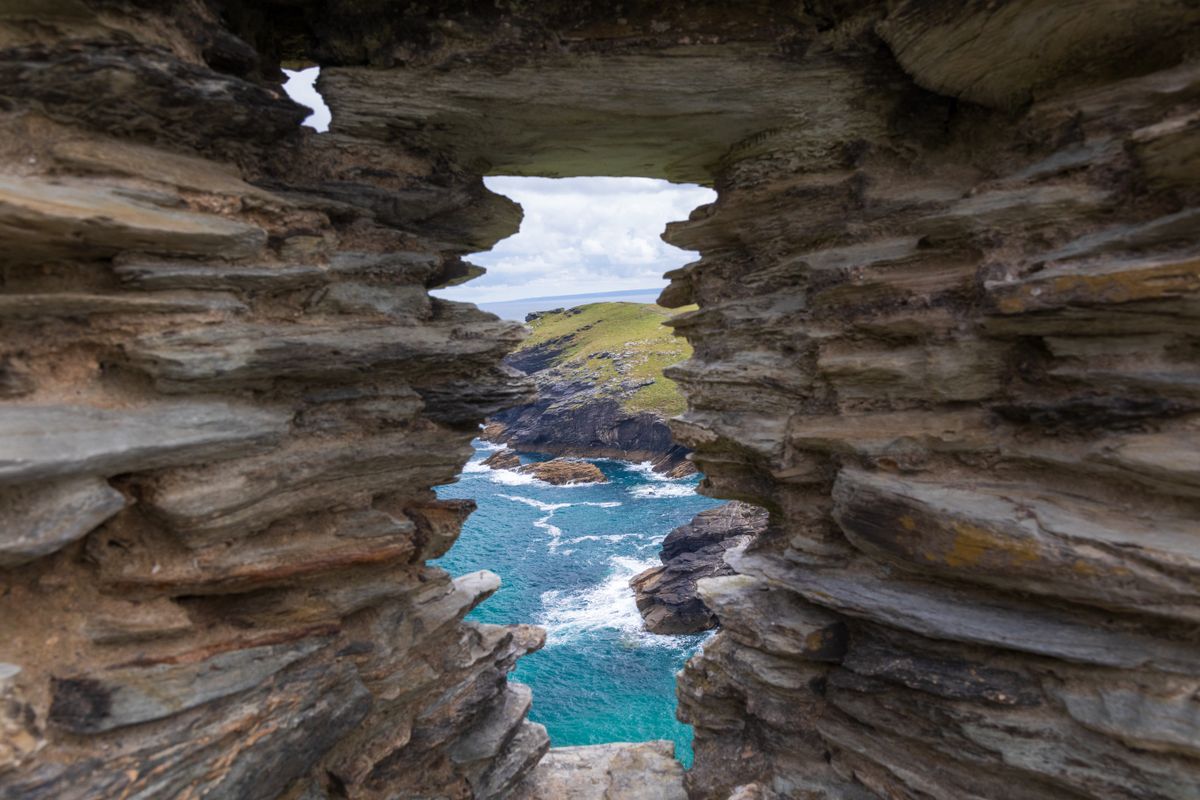
Geography explains the rest. There is ocean on three sides, so you are never more than twenty five kilometres from the sea. The north coast takes the Atlantic swell directly and has big cliffs and surf beaches. The sheltered south coast has deep estuaries, warmer water and harbours full of yachts.
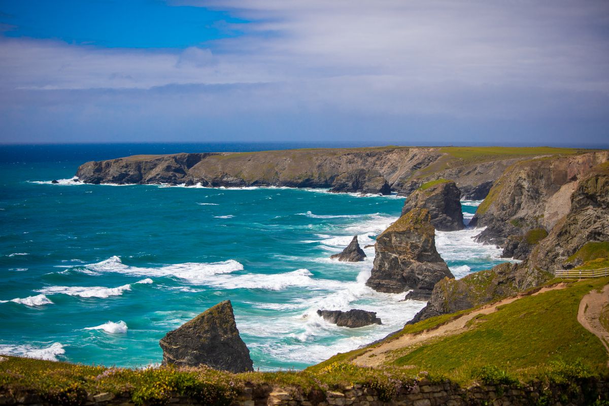
Land’s End is the westernmost point of mainland England, and Lizard Point, about fifty kilometres east of it, is the southernmost point of mainland Britain. The two extremes are an hour apart by car, which tells you a good deal about the real scale of the place.
Tintagel and the legend of King Arthur
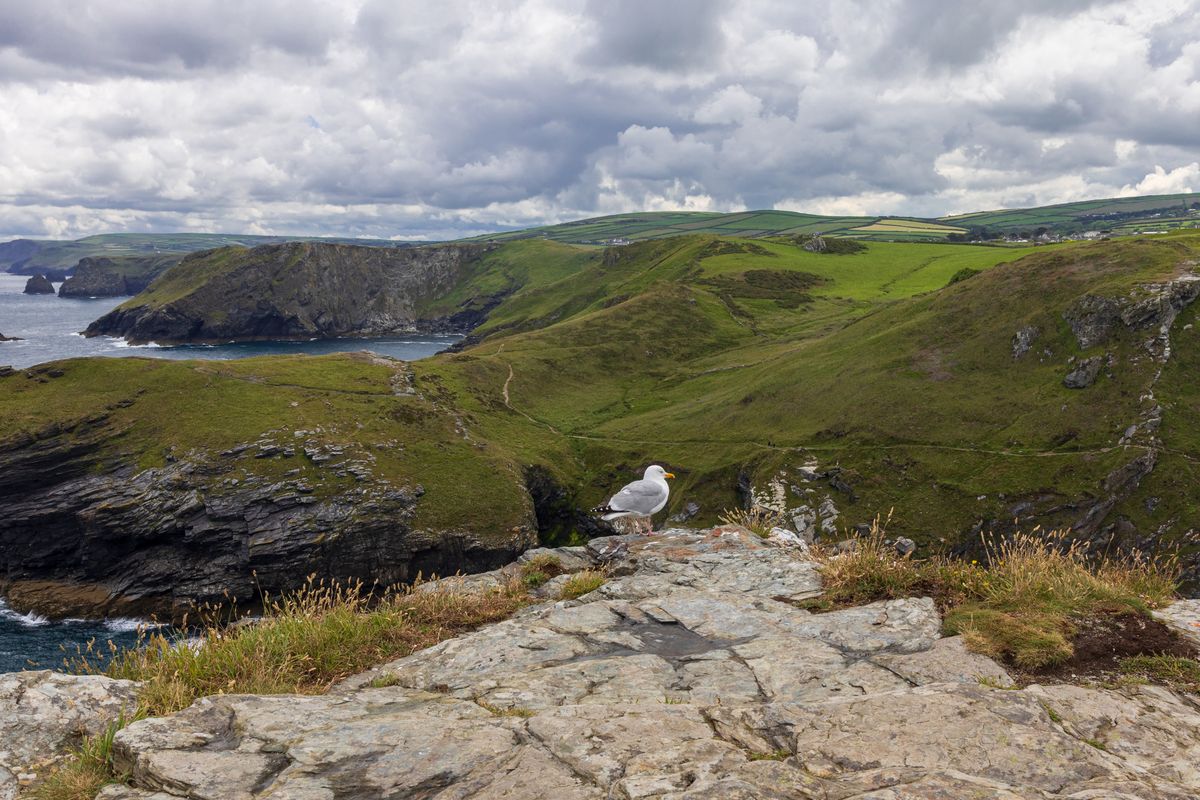
The link between Tintagel and Arthur has an author and a date. Around 1136, Geoffrey of Monmouth wrote a history of the kings of Britain that placed the conception of Arthur precisely here. The book became a European bestseller, and the rest of the Arthurian cycle was built on top of it, first in France and then across the continent.
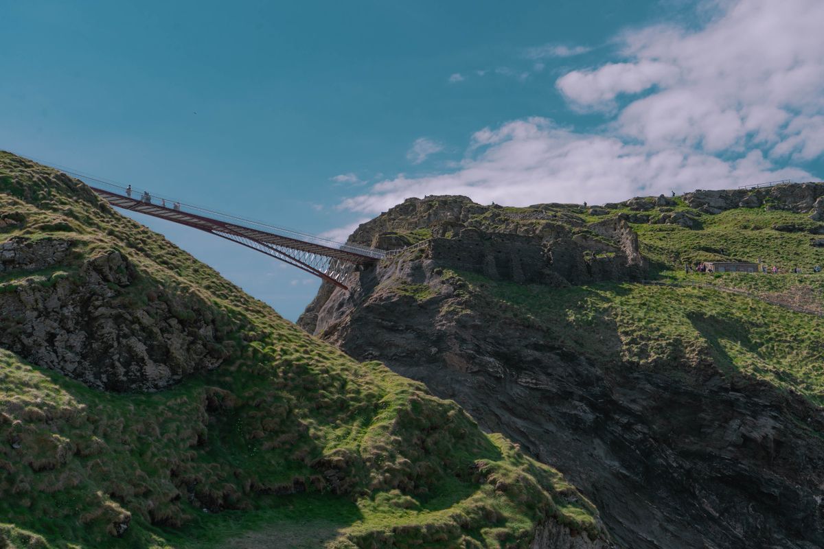
The ruins you see today are actually younger than the legend. The castle went up in the 1230s for Richard, Earl of Cornwall, brother of the king. The most convincing explanation is that he built it because the site was already famous from the book, on a headland with no military value whatsoever.
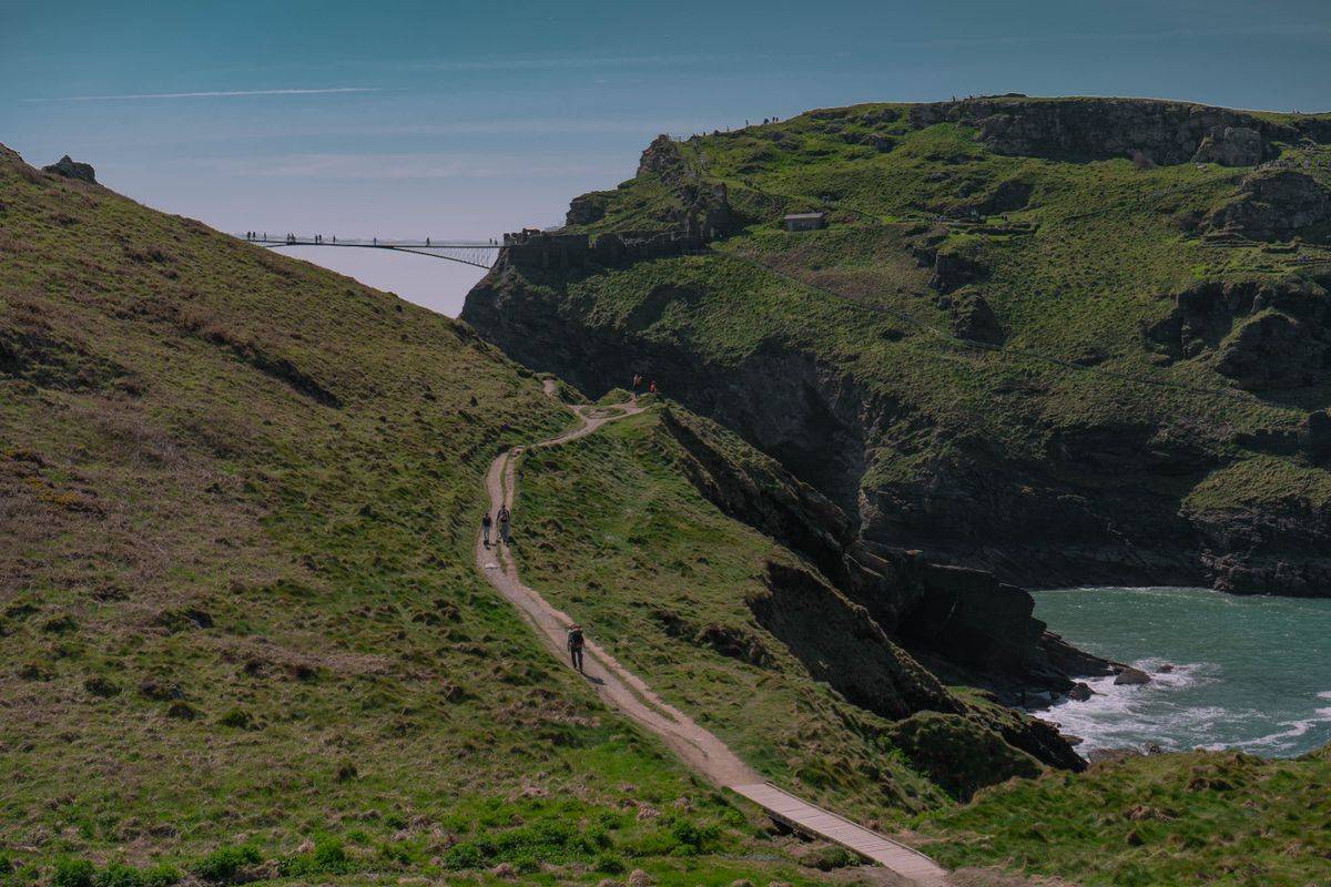
The unexpected part is that excavation found something much older and far more interesting: a settlement of the fifth to seventh centuries, with pottery and glass imported from the Mediterranean and North Africa. Somebody important really did live here, six hundred years before Geoffrey, and traded across long distances.
The site is run by English Heritage, booked online for a timed slot, and it fills up in summer. The footbridge opened in 2019 reconnects the two halves of the headland, but it has an open gap along the centre line and is not for anyone uneasy with heights. The descent to the beach and to Merlin cave is down steep steps and impossible with a pushchair. Come expecting an archaeological site rather than a castle with towers.
The beaches: which ones earn the trip and when they empty
With over three hundred beaches the choice is not obvious. The big divide is between the two coasts: the north has waves and open sand, the south has sheltered coves and calmer water.
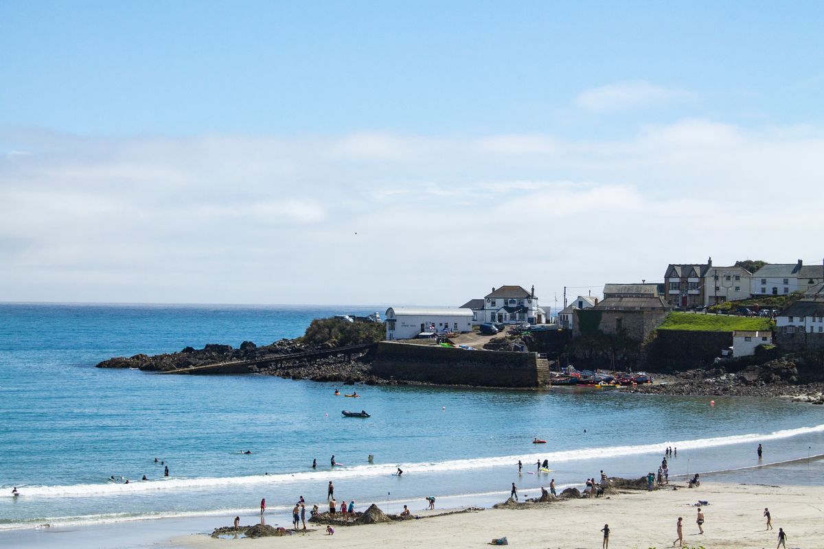
- Kynance Cove, on the Lizard: green serpentine rock and turquoise water, the most photographed beach in the region. Foot access only, and it nearly disappears at high tide.
- Porthcurno: white sand, clear water and the Minack Theatre carved into the cliff directly above it.
- Bedruthan Steps: not a beach to sit on but a line of sea stacks viewed from above. The steps down open in season only.
- Fistral, next to Newquay: the reference surf beach in Britain, with schools and board hire.
- Sennen Cove: the westernmost large beach, a few kilometres from Land’s End, with lifeguards in summer.
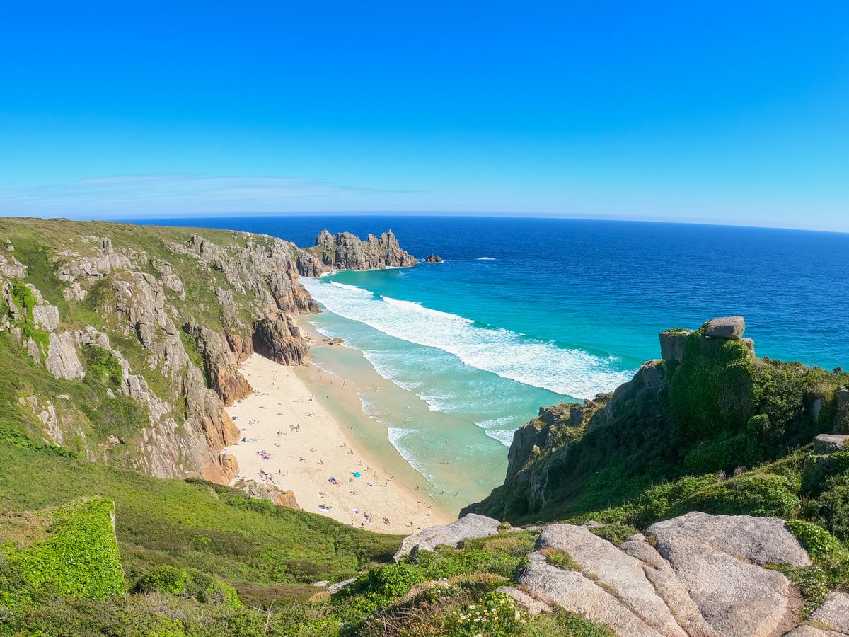
The daily timing matters more than the choice of beach. Between ten and four the car parks are full and you queue. Arrive before nine or after five and there is space everywhere, and the light is better anyway. Tides move the usable sand by tens of metres, so check the tide table first, especially for the small coves.
The fishing villages and what is left of them
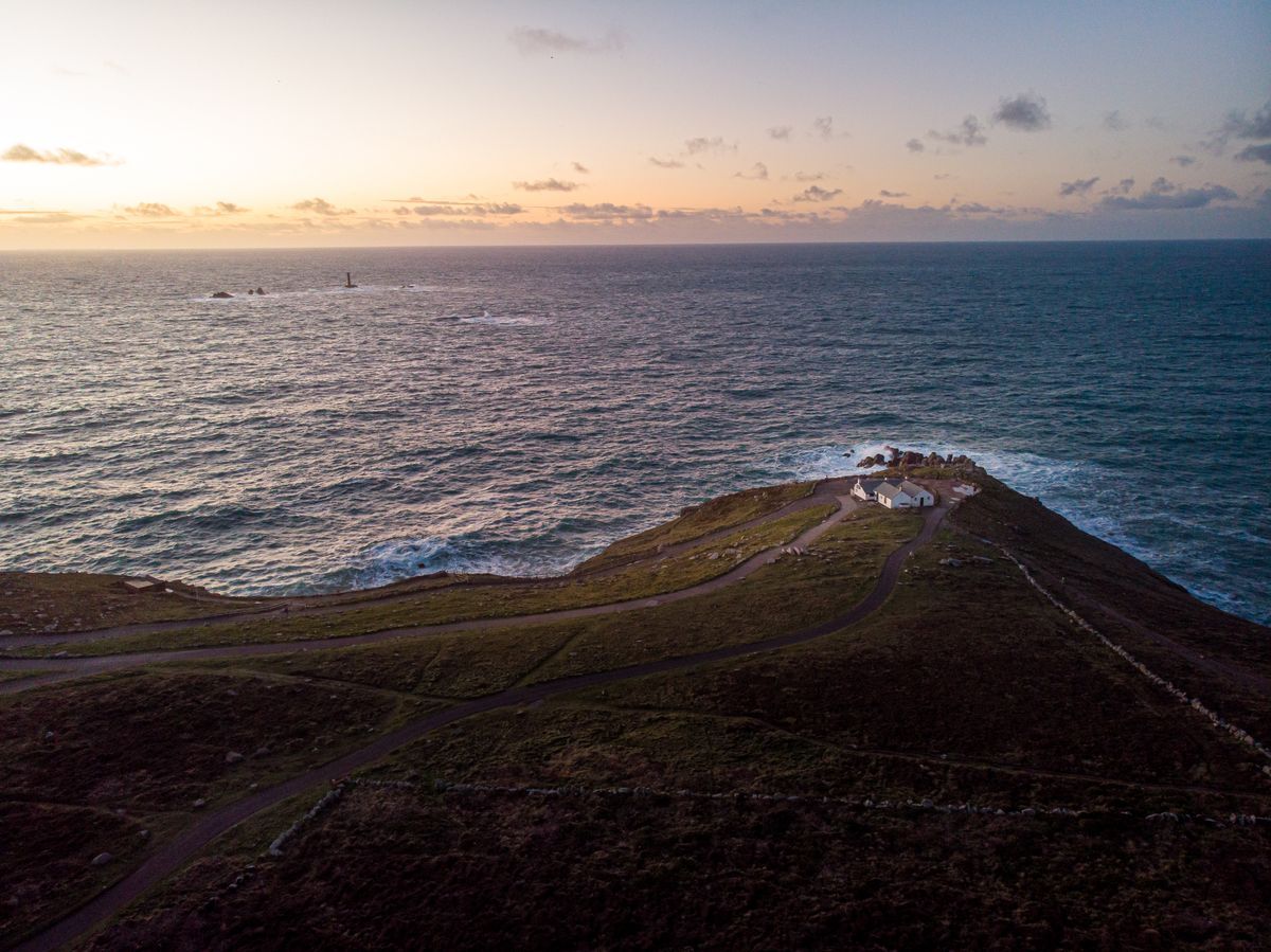
Industrial fishing has almost vanished, and the pilchards that supported the local economy for centuries are gone. What remains is the harbours, the stone piers, a small fleet and a very large number of houses bought as second homes.
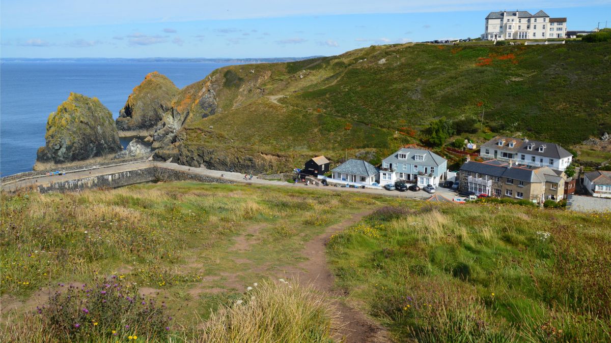
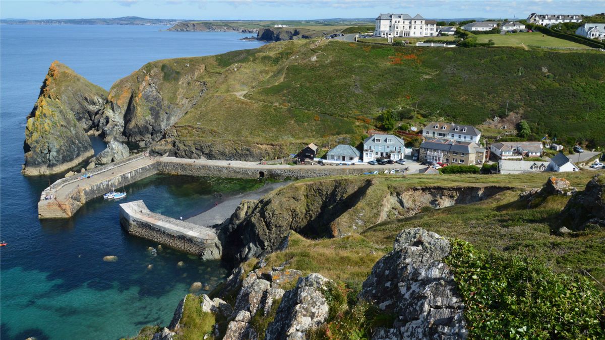
Mullion Cove, on the Lizard, looks the way it does precisely because its heavy piers were built at the end of the nineteenth century, after several poor fishing seasons, as relief for the community. They are now maintained with difficulty, because the storms hit them more and more often.
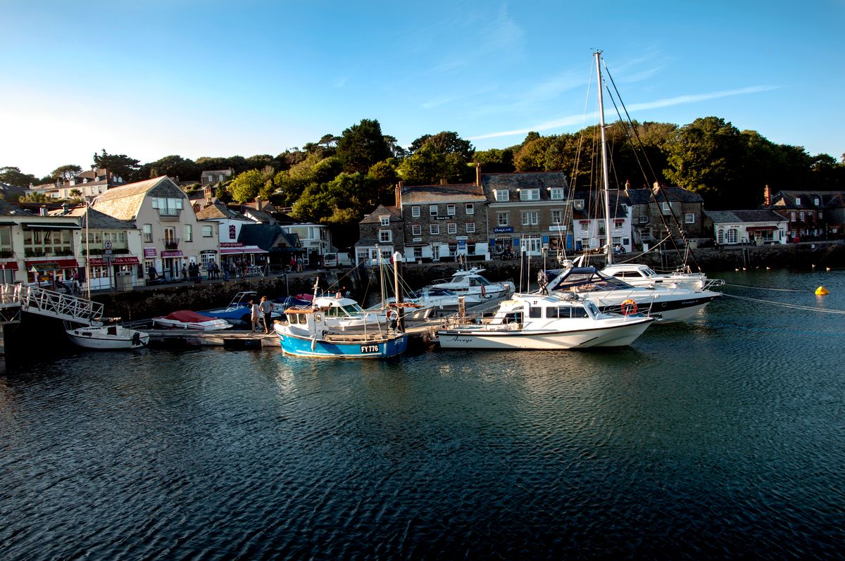
- Padstow: a harbour on the Camel estuary, known for seafood restaurants and for the Camel Trail cycle path.
- Port Isaac: lanes so narrow that luggage is carried in on foot. The television series Doc Martin was filmed here.
- St Mawes and Fowey: on the south coast, sheltered water, small boats and passenger ferries.
- Charlestown: an eighteenth century port with tall ships permanently moored, used constantly as a film set.
- Mousehole: a tiny cove with an entrance so narrow it is closed with timber baulks during winter storms.
The mining landscape, a UNESCO site most people drive past
The engine houses with tall chimneys that appear on the cliffs are not picturesque ruins. They are what is left of an industry that supplied half the world output of tin and copper in the nineteenth century. The Cornwall and West Devon Mining Landscape has been a UNESCO World Heritage Site since 2006.
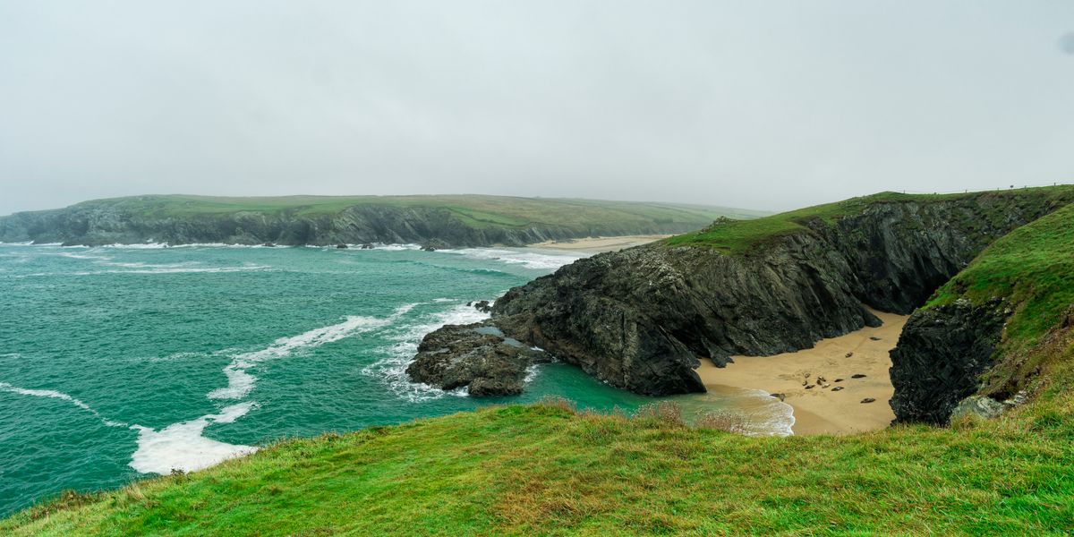
When prices collapsed, the miners emigrated in numbers to Australia, Mexico, South Africa and the United States, taking their techniques with them and, it seems, the pasty. There are communities of Cornish descent on four continents, and some Mexican mining towns still have very similar pastries on their menus.
The most accessible places are Wheal Coates near St Agnes, where the engine house hangs above the ocean, Botallack, where two buildings are stuck to the cliff face, and Geevor, a mine closed in 1990 and turned into a museum where you go down into the workings.
Pasty, cream tea and the order that starts arguments
The Cornish pasty has protected geographical status, and the specification is surprisingly strict: raw filling when it goes into the oven, beef, potato, swede and onion, and the crimp along the side rather than over the top. It was miners food, and the thick edge served as a handle that was thrown away at the end so dirty hands never touched the filling.
Cream tea means a warm scone, strawberry jam and clotted cream, a thick cream made by slowly heating milk. Here the jam goes on first and the cream on top. In Devon, a few kilometres away, it is done in exactly the opposite order, and the argument is over a century old and still conducted perfectly seriously.
The rest of the local cooking is seafood: crab, mussels, fish grilled straight off the boat. Stargazy pie, the one with fish heads poking through the crust, is real, but you will essentially only find it in Mousehole on the evening of 23 December.
Getting there, how long to stay and what it costs
| Item | Detail |
|---|---|
| From London by train | Paddington to Penzance, about 5 hours |
| Sleeper | the Night Riviera, with berths, London to Penzance |
| By car | 5 to 6 hours from London, heavy queues on summer Saturdays |
| Airport | Newquay, with domestic flights |
| Days needed | five minimum, seven to ten ideally |
| Best months | May, June and September |
| Avoid | the last two weeks of August |
A car is close to essential if you want the small beaches and the villages, but it comes with a real warning: the minor roads are narrow, walled on both sides by hedges two metres high, with no forward visibility. You drive slowly and reverse to the nearest passing place when somebody appears. Folded mirrors are not an exaggeration.
Accommodation in July and August books months ahead and prices double. In May or September you can find something two weeks out at roughly half the cost. Details for the major managed sites are at English Heritage, and the beaches and coves in the care of the national charity at National Trust.
Frequently asked questions (FAQ)
Conclusion
The Cornwall peninsula functions as a region apart, with its own language, a mining industry that became a UNESCO site, and a headland where a twelfth century book placed the conception of King Arthur.
Come in May or September, take a small car, set out early for the beaches and check the tide table before every cove. The rest sorts itself out.
