
 By

Sutjeska is the oldest national park in Bosnia and Herzegovina, established in 1962 in the south eastern corner of the country against the Montenegrin border. It covers around 17,500 hectares and holds the highest peak in the country, a modernist concrete monument that appears in architecture books worldwide, and one of the last two primeval forests left in Europe.
What Perućica is and how you get in, how the Maglić climb works, what the Tjentište monument means and which trails are accessible.
What Sutjeska park is and how it divides
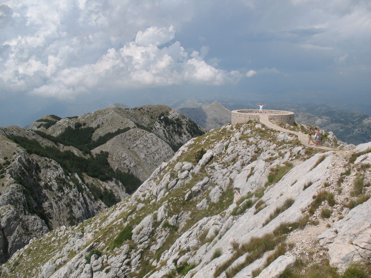
The park is organised around the valley of the Sutjeska river, which cuts it from north to south. The Maglić massif rises to the east and the Zelengora plateau to the west, with the water running between them. The main road passes right through the middle, which makes access unusually easy for a mountain park.
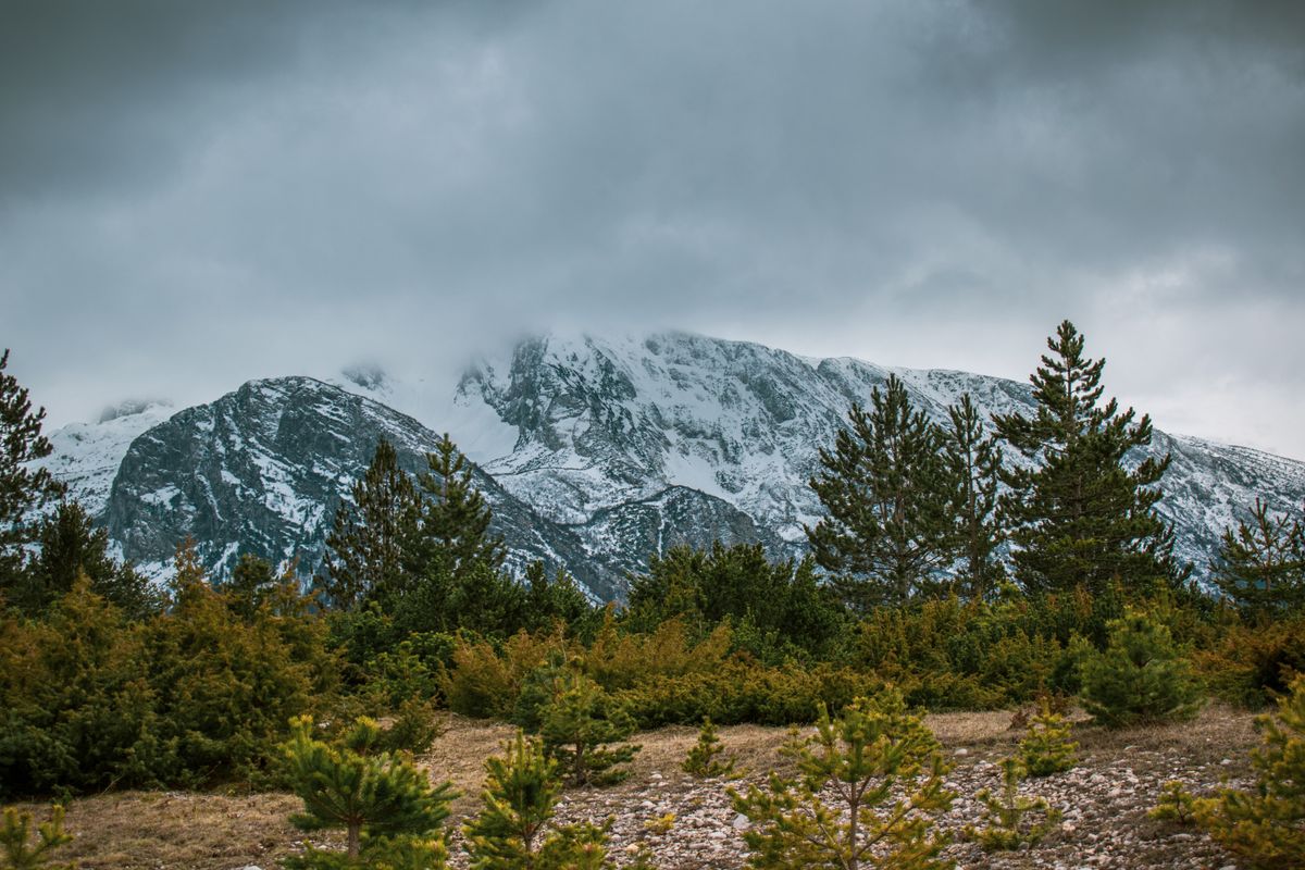
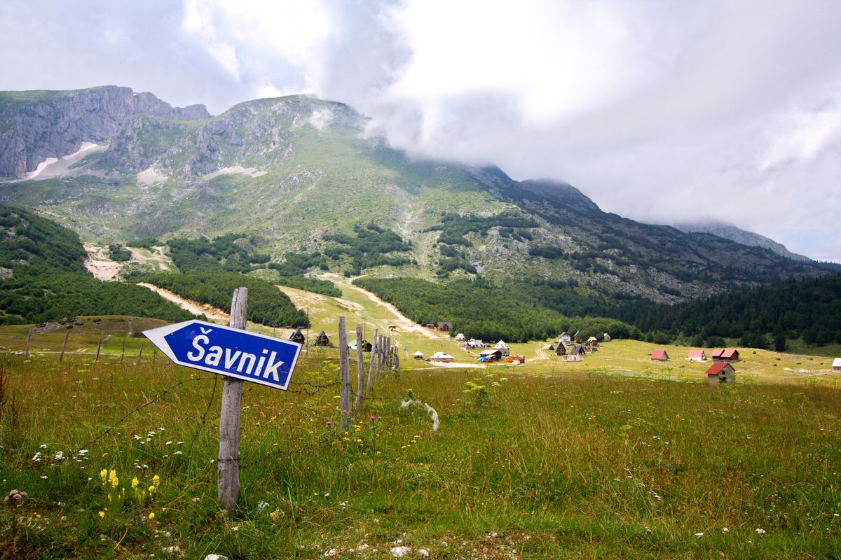
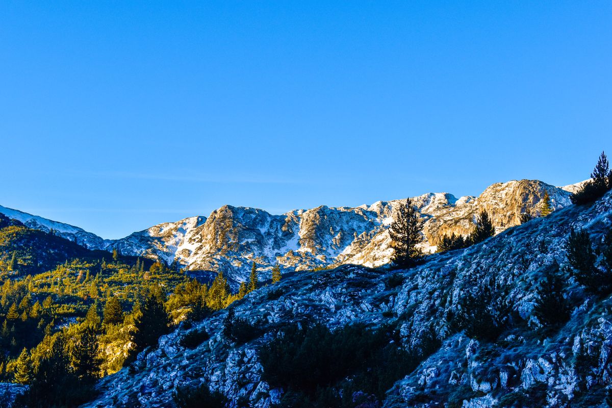
Zelengora is the gentle half: high pasture, woodland and over twenty small glacial lakes, known locally as the eyes of the mountain. This is the zone for easy and moderate walking, with waymarked trails linking the lakes.
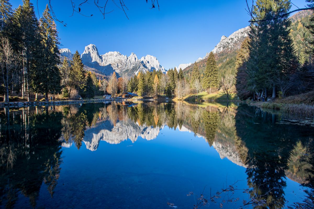
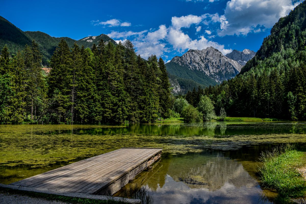
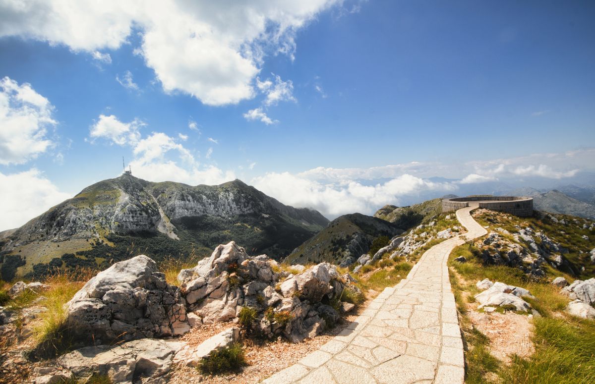
Maglić is the serious half. It reaches 2,386 metres, the highest point in the country, right on the border line. The climb is not technical, but it is long and exposed, and the final section runs along a ridge.
Perućica, the primeval forest
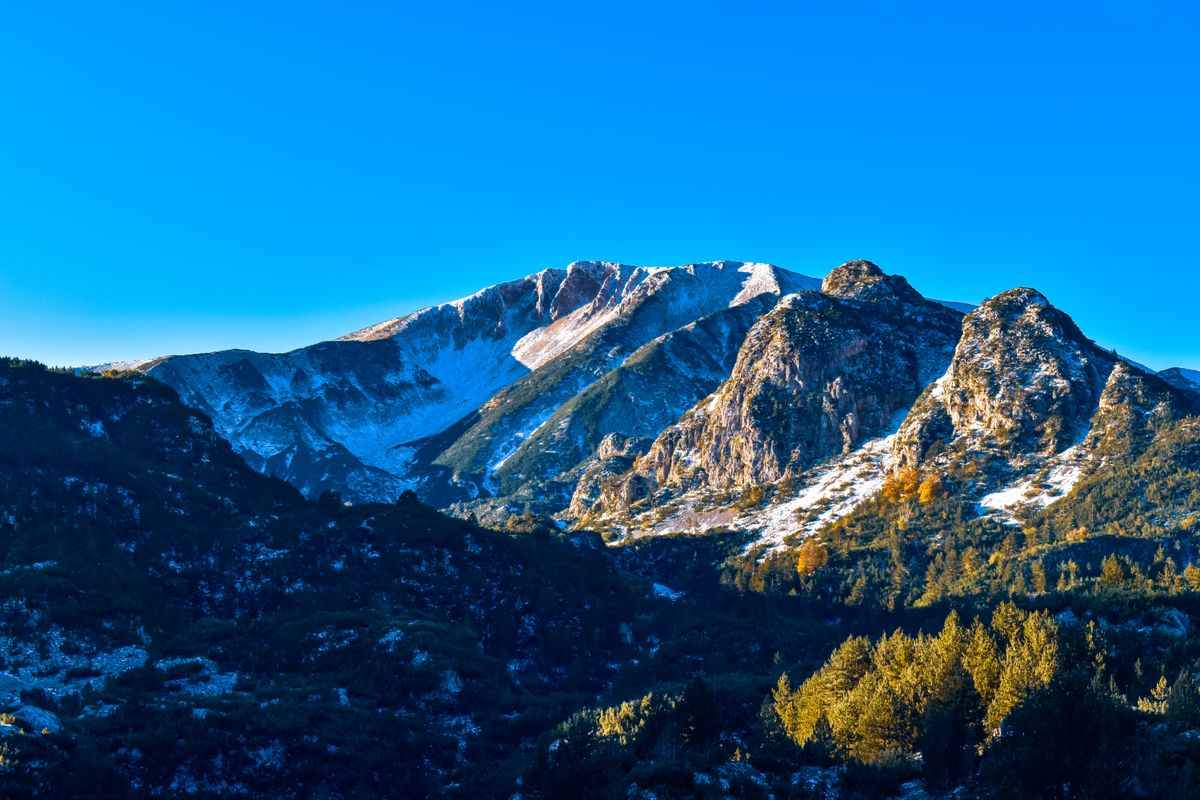
This is the main reason the park exists. Perućica covers about 1,400 hectares of forest that has never been cut, something that in Europe can otherwise only be said of Białowieża, on the Polish and Belarusian border.
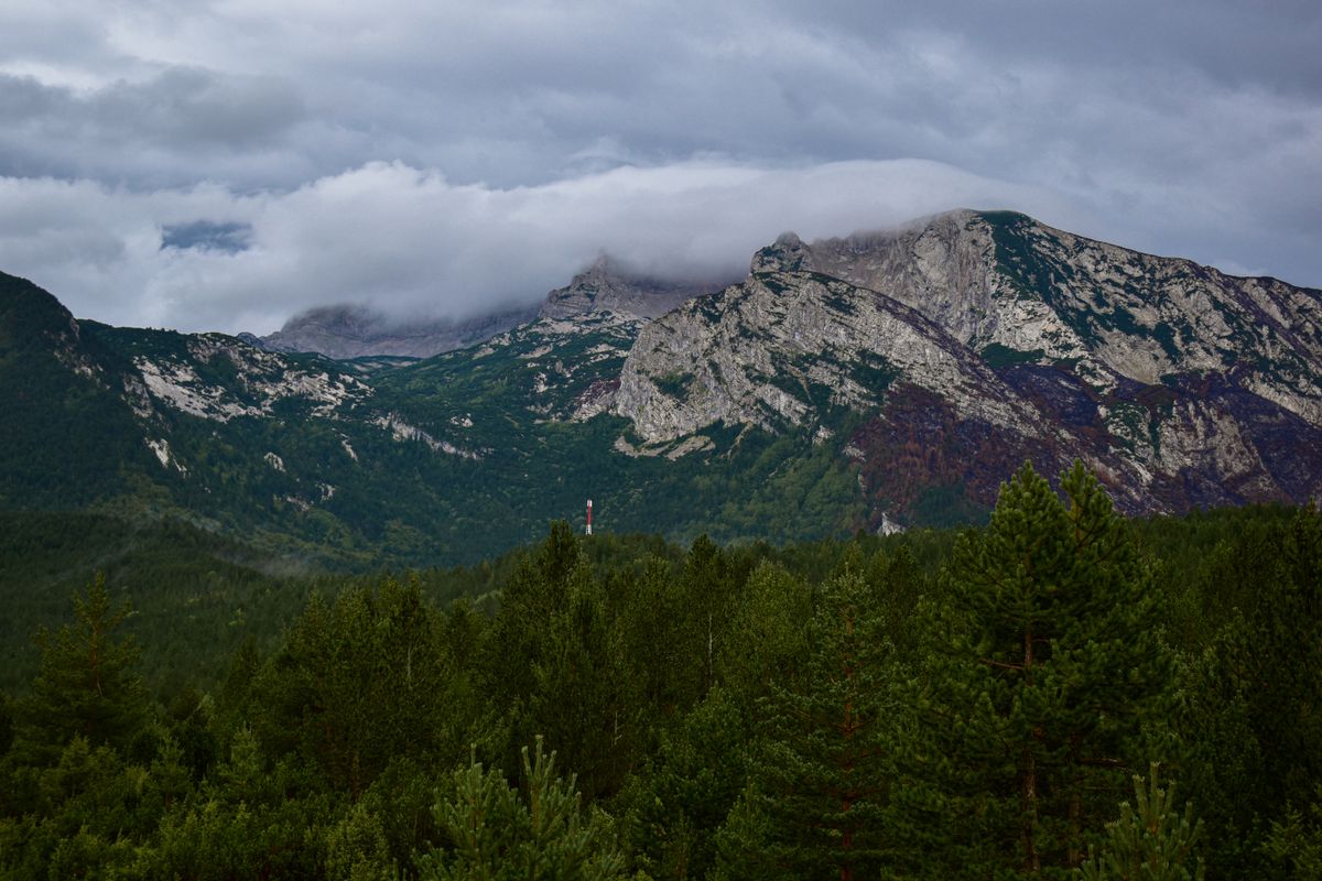
In practice that means a structure you do not see in worked woodland: trees over three hundred years old and fifty metres tall, standing beside saplings, beside fallen trunks left to rot where they lie, because they feed the soil. There are no made paths and nothing is taken out of the forest.
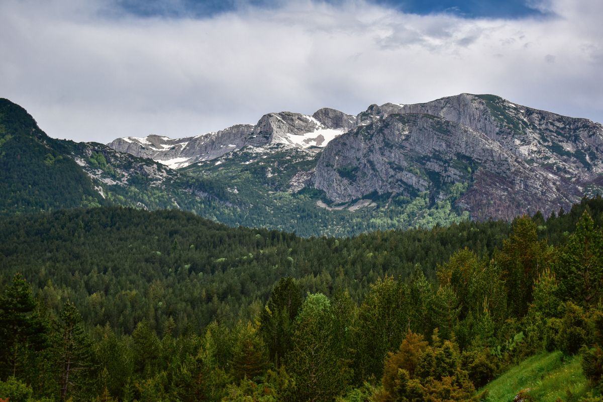
Perućica is a strict reserve. You do not go in alone, you do not go in without booking, and you do not wander in from the road. The guide is booked through the park administration, usually a day ahead, and group sizes are limited. The fee is small. The usual route leads to the Dragoš Sedlo viewpoint, from which you see the Skakavac waterfall, about seventy five metres high, falling inside the forest. You do not reach its base: you look from above, precisely so that nobody walks through the reserve.
The Tjentište monument and the battle of 1943
In the middle of the park, in a broad meadow, stand two enormous concrete wings about nineteen metres high, raised in 1971 to a design by the sculptor Miodrag Živković. It is one of the best known modernist monuments of the former Yugoslavia and appears constantly in architecture books.
It commemorates the battle of the Sutjeska, in May and June 1943, when Partisan forces were encircled in this valley and broke out at very heavy cost. It was one of the decisive battles of the war in Yugoslavia.
Beside the monument stands a memorial house with large mural frescoes, damaged during the war of the nineteen nineties and partly restored. Access inside depends on opening hours and is not guaranteed.
The monument is visible from the road and can be visited freely at any time. It is worth the stop even if you came only for the nature, because it is one of the few works of its kind still standing in the landscape it was designed for.
The trails and the lakes
The park has waymarked trails at every level, and the difference between them is considerable. These are the ones that repay the most.
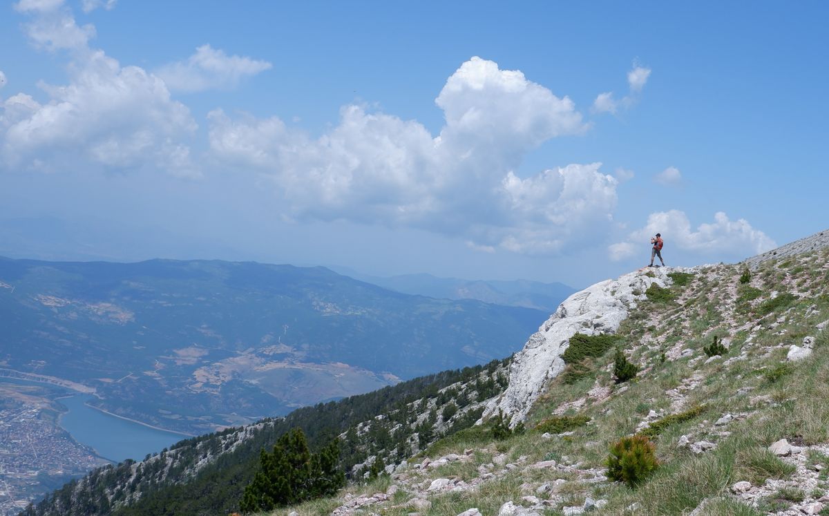
- The Zelengora lakes: Orlovačko, Kotlaničko, Donje and Gornje Bare. Two to five hour walks, easy, through woodland and pasture.
- The Dragoš Sedlo viewpoint towards Perućica: short, but only with a guide.
- Maglić: eight to ten hours return, with a large height gain and an exposed ridge at the end.
- Trnovačko lake: the most photographed in the region, heart shaped. Reached from the park, though the lake is technically in Montenegro.
- The Sutjeska valley: easy walks along the river, suitable with children.
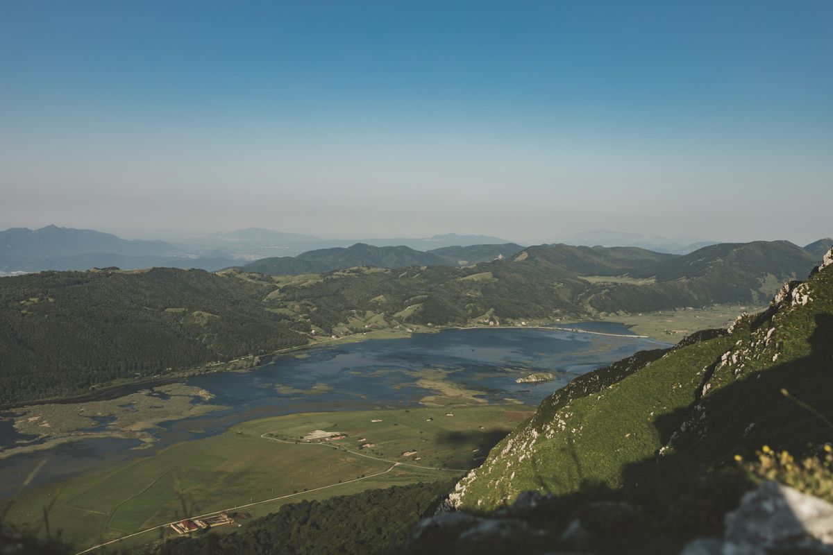
About Trnovačko one thing has to be said plainly: the route crosses the border. Most walkers do it without formalities, because there is no checkpoint on the mountain, but technically it is an unofficial crossing. Check the current position beforehand, particularly if you are with an organised group.
What to know before heading onto the mountain
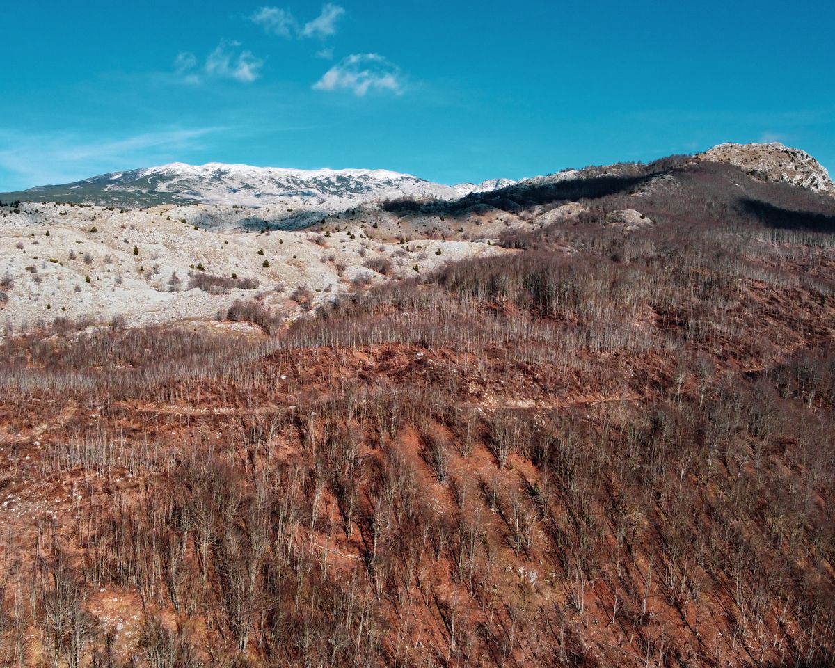
The park is not dangerous, but it has a few features worth knowing in advance.
The first concerns recent history. Some peripheral areas of the park were contaminated with mines in the nineteen nineties, and clearance took a long time. The risk to anyone staying on marked trails is very low, but the rule is firm: do not cut across unknown ground and do not enter abandoned buildings.
The second is the wildlife. Bears, wolves and chamois live in the park. Encounters are rare, and ordinary bear country behaviour is enough: make noise on the trail, do not leave food out, do not approach cubs.
The third is the weather. Above two thousand metres, fog and afternoon storms build fast in summer, and there is no phone signal in entire valleys. An offline map, a loaded track and a warm layer in the pack, whatever the forecast says.
Getting there, where to stay and when to go
| Item | Detail |
|---|---|
| Gateway | Foča, about 30 kilometres away |
| From Sarajevo | about 2 hours |
| From Montenegro | the border runs along the edge of the park |
| Days needed | 2 to 3, ideally with a day for Maglić |
| Best months | June to September |
| Perućica | guide required, booked through the park administration |
| Accommodation | a hotel at Tjentište and guest houses in Foča |
Foča is also the rafting centre for the Tara, in the canyon a few dozen kilometres away, so combining the park with a rafting day is the most natural pairing in the area. Accommodation inside the park amounts in practice to one hotel at Tjentište, with everything else in Foča.
Access rules, fees and guide booking are published by the national park administration, and general travel information by the Bosnia and Herzegovina tourism board.
Frequently asked questions (FAQ)
Conclusion
Sutjeska gathers into one park one of the last two primeval forests in Europe, the highest peak in the country, and a concrete monument that became a textbook image of architecture.
Book the Perućica guide a day ahead, stop at Tjentište even if you came for the nature, stay on the marked trails and pack a warm layer whatever the forecast.
