
 By

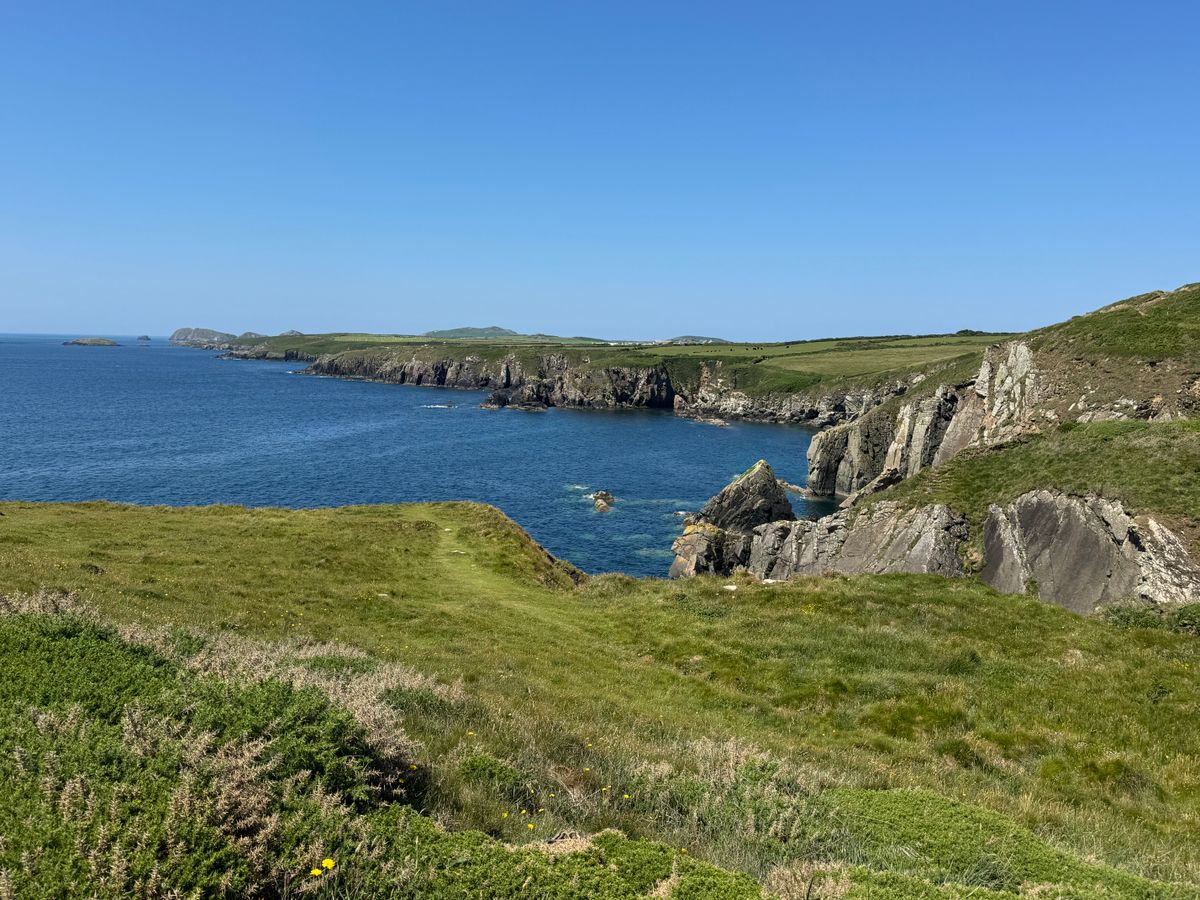
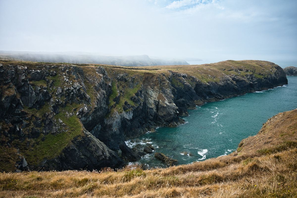
Three hundred kilometres of waymarked path that follows the cliff edge almost without a break, with a cumulative ascent equal to climbing Everest. The Pembrokeshire Coast Path runs through the only national park in Britain built around a coastline, and it appears regularly in world rankings of coastal walks.
How the trail works, the sections worth the most, the beaches, the smallest city in Britain and the islands with seabird colonies.
What the Pembrokeshire Coast Path is and how it works
The path opened in 1970 and runs about three hundred kilometres, from Amroth in the south east to St Dogmaels in the north. It is now part of the longer trail that circles the whole of Wales.
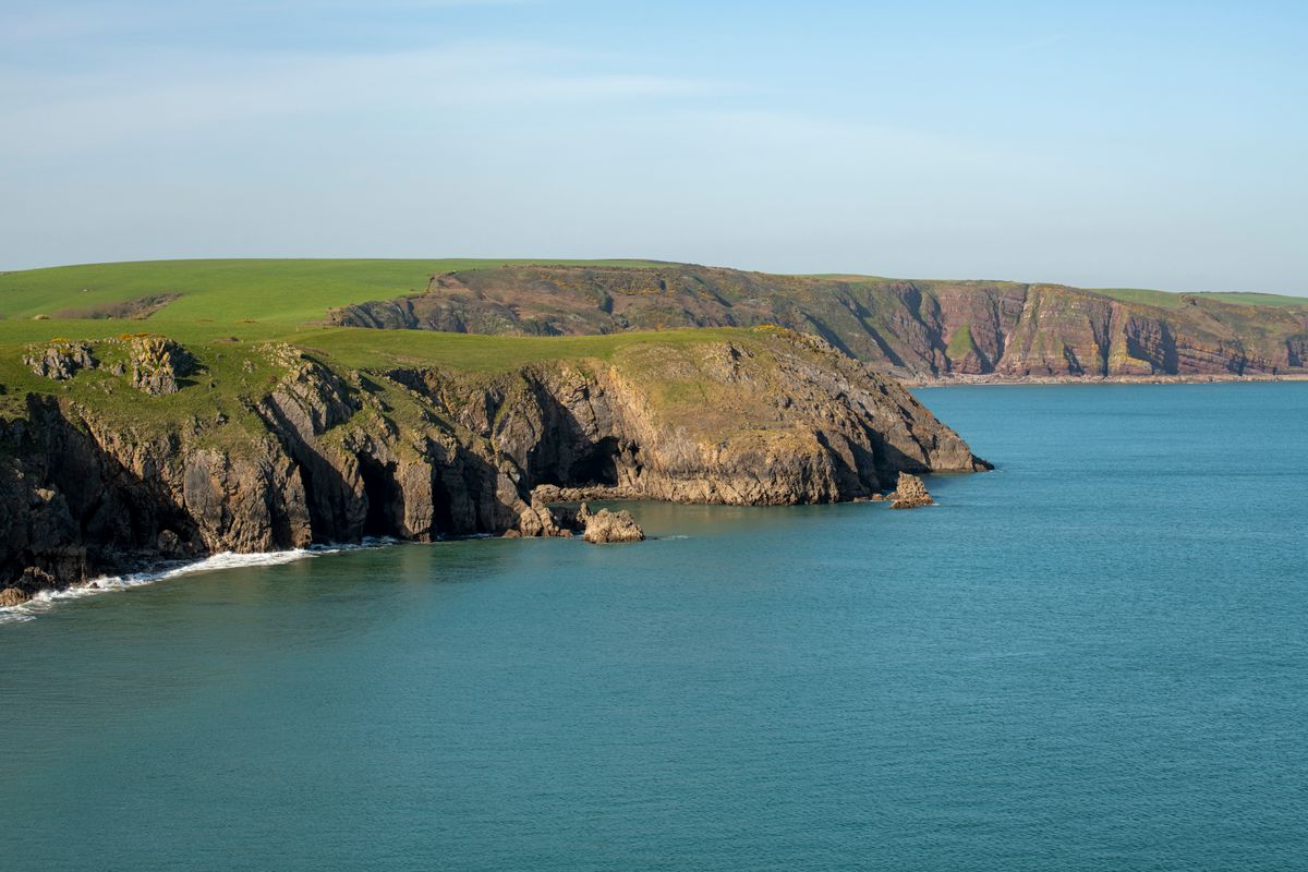
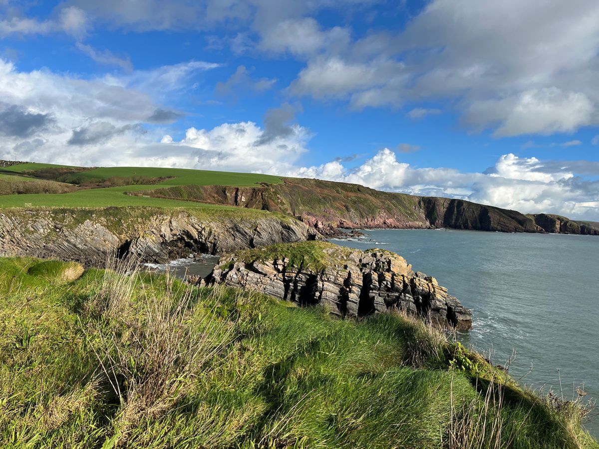
The national park around it is the only one in Britain defined mainly by its coast. The cumulative ascent along the full length exceeds eight thousand metres, which means that although you climb no mountain, you climb constantly.
The sections worth the most
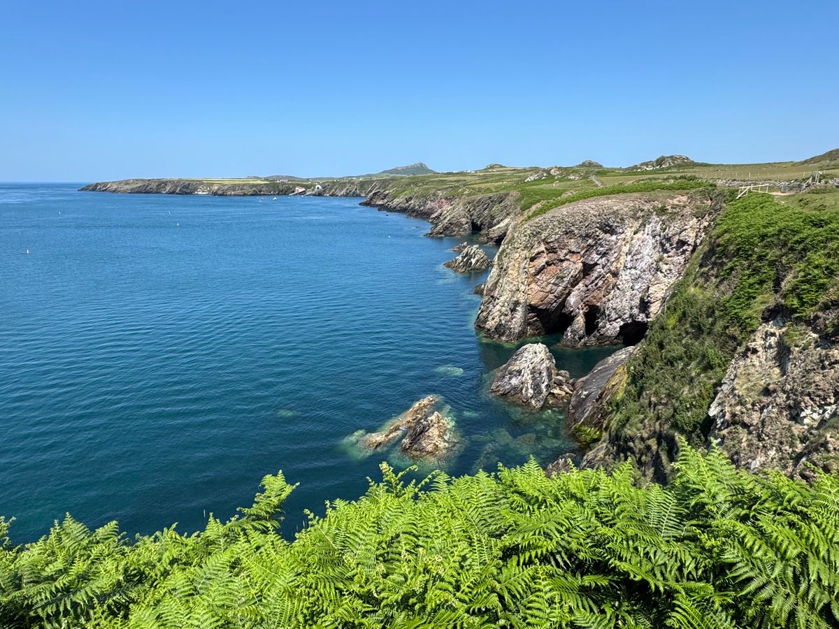
The full route takes ten to fifteen days. Most visitors walk only a few sections, and these are the ones that give the most per kilometre covered.
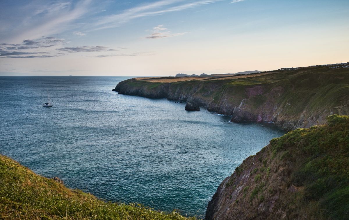
- St Davids Head: cliffs, prehistoric remains and the smallest city in Britain at the end of it.
- Marloes Sands to Martins Haven: wide beaches and dramatically tilted rock strata.
- Stackpole and Barafundle: probably the finest beach in Wales, reachable only on foot.
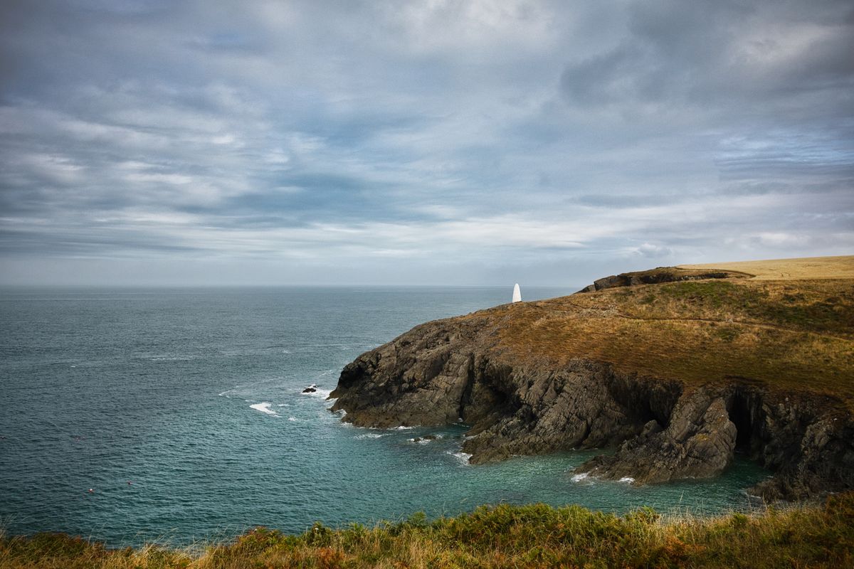
- Strumble Head: the wildest sector, with seals and a lighthouse on a small island.
- Tenby to Manorbier: the most accessible, with beaches and a castle above the sand.
- Ceibwr Bay and the Witches Cauldron: a collapsed sea cave that left a crater in the cliff.
St Davids, the smallest city in Britain
It has under two thousand residents and holds official city status purely because it has a cathedral. It is the birthplace and burial place of the patron saint of Wales, and in the Middle Ages two pilgrimages here counted as one to Rome.
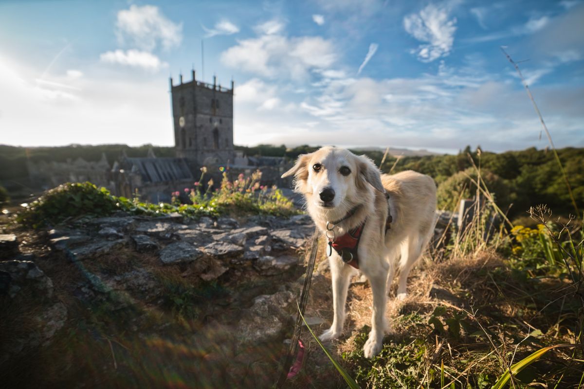
The cathedral is built in a hollow rather than on a hill, so it could not be seen from the sea by the raiders who worked this coast. Beside it stand the ruins of the bishops palace, and entry to the cathedral is free.
The beaches
The county has over fifty beaches, many with blue flag status, and some can only be reached on foot, which keeps them empty even in August.
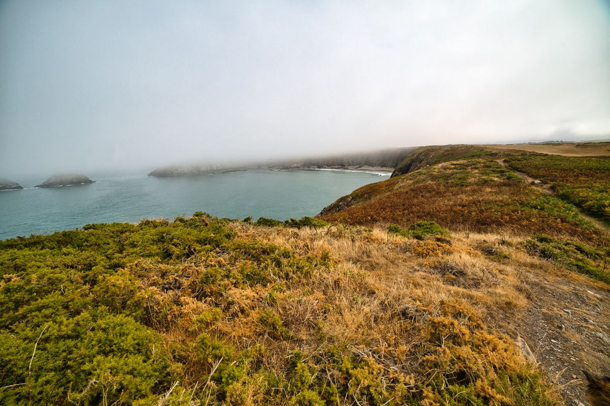
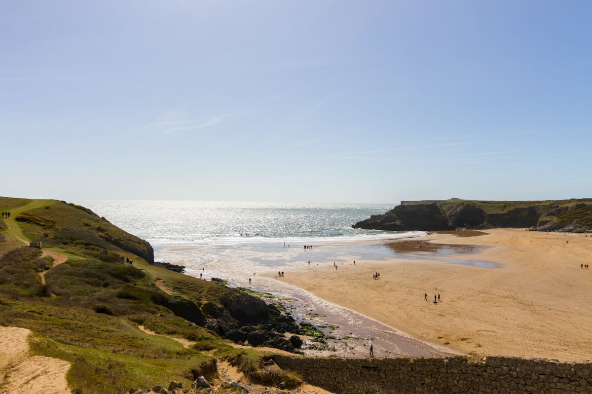
Barafundle Bay appears constantly in European rankings and has neither a car park nor a kiosk: it is a half hour walk from Stackpole Quay. Tenby has three beaches in the town itself, and Whitesands, near St Davids, is the best for surfing.

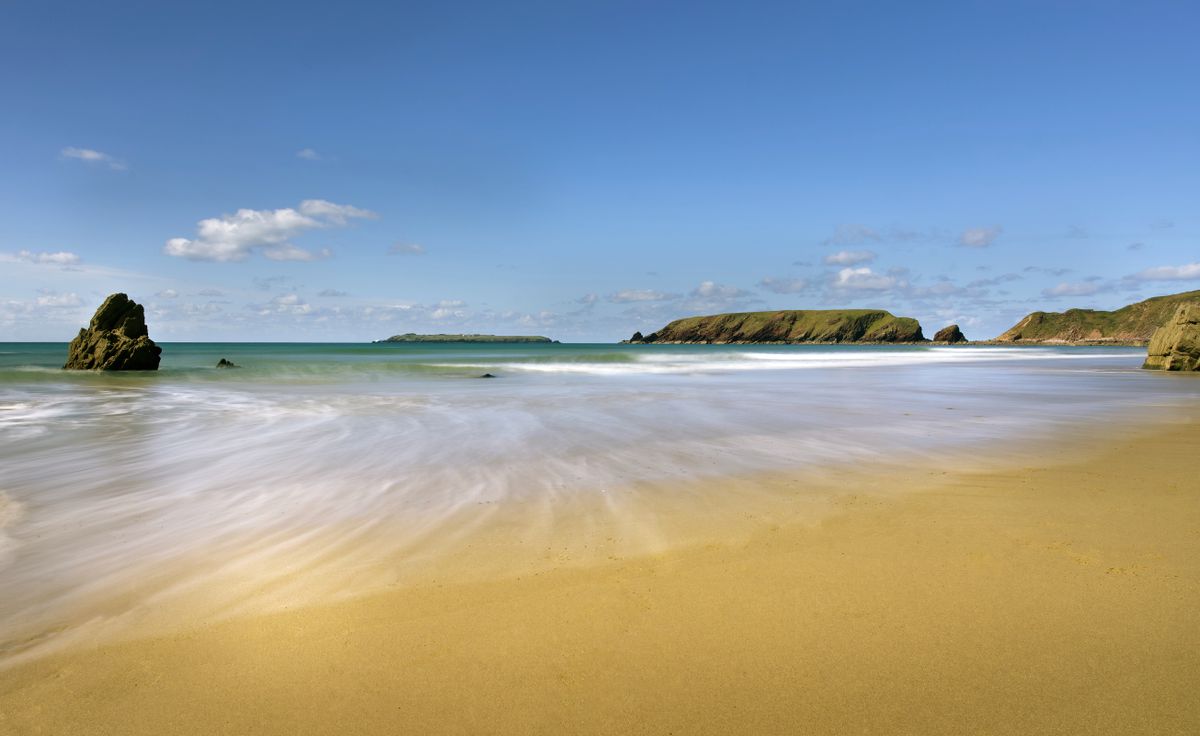
The islands and the seabird colonies
Skomer, a few minutes by boat from Martins Haven, holds one of the largest puffin colonies in southern Britain. Their season runs April to July, and daily visitor numbers are capped.
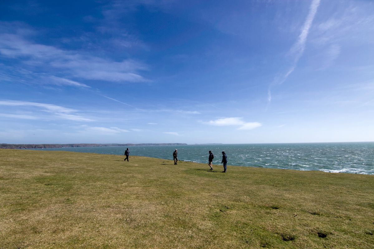
Skokholm and Grassholm complete the group, and Ramsey, near St Davids, has grey seals that pup on the beaches in September and October. The boats depend entirely on the sea and are cancelled often.
When to go, where to stay and what you need
| Item | Detail |
|---|---|
| Trail length | about 300 km, 10 to 15 days in full |
| Ascent | over 8,000 metres cumulative |
| Best months | May and June, for flowers and puffins |
| Bases | Tenby in the south, St Davids in the west, Newport in the north |
| Coastal buses | link points along the trail, seasonally |
| Days needed | four for a few sections and the beaches |
The coastal buses are the key if you are walking: they take you back to the car or the accommodation, which means you can do sections one way. They run seasonally and on a reduced timetable, so check in advance.
The Atlantic wind blows almost constantly, the path sometimes runs a few metres from the edge, and there are no railings. Trail and tide information is on the national park site, and island bookings go through the Welsh wildlife trust.
Frequently asked questions (FAQ)
Conclusion
The Pembrokeshire Coast Path runs through a national park built around a shoreline, with three hundred kilometres of trail, fifty beaches and islands full of puffins minutes offshore.
Do not attempt the whole thing unless you have two weeks. Pick three sections, use the coastal buses so you can walk one way, and go in May or June.
