
 By

Dartmoor is a granite plateau of almost a thousand square kilometres in the middle of Devon, made a national park in 1951. It holds the highest ground in southern England, several thousand prehistoric monuments, ponies grazing loose beside the road, and the only place in England where wild camping is permitted by law.
What the plateau is really like, the best short walks, the truth about the ponies, the story behind the spectral hound and the hazards that are genuinely real.
What Dartmoor actually looks like
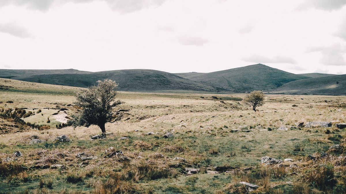
These are not mountains, whatever everyone calls them. It is a granite mass pushed up around 280 million years ago and eroded ever since, which has left a rolling plateau with rounded high points. High Willhays reaches 621 metres and Yes Tor 619, the highest ground in southern England.
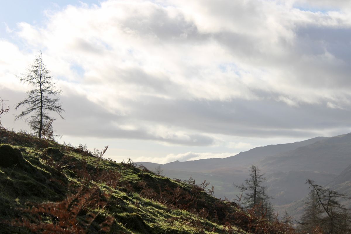
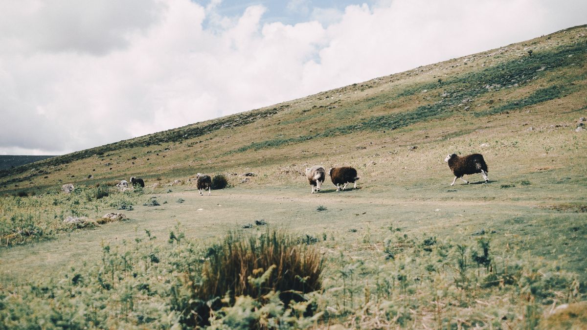
The open landscape is not natural. A few thousand years ago the plateau was wooded. Prehistoric clearance, followed by continuous grazing and the build up of peat, produced the high moor you see today. It is a landscape made by people and kept open by sheep, cattle and ponies.
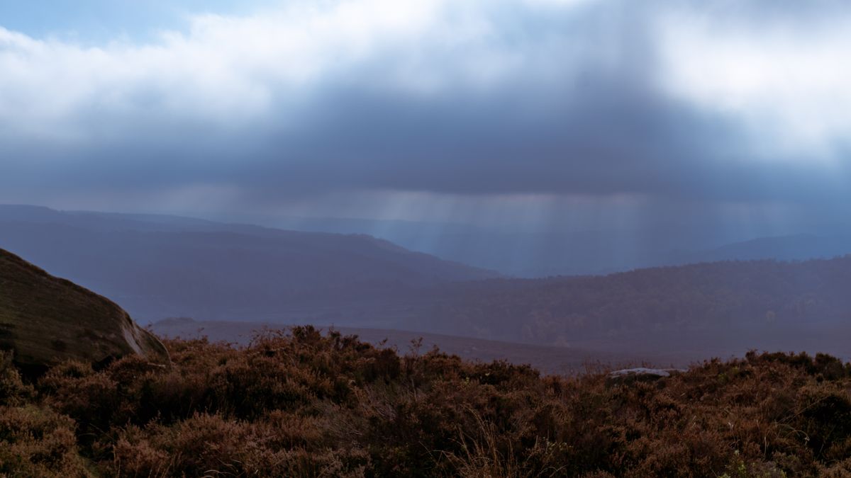
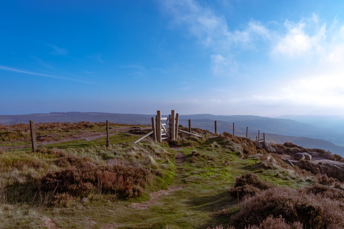
The density of prehistoric remains is unusual: stone circles, stone rows, burial cairns and over five thousand hut circles from the Bronze Age. The acid ground preserved everything, because it was never ploughed.
The tors and the best short walks
Tors are the exposed granite blocks that rise out of the hilltops like collapsed towers. They formed underground, through chemical weathering of the rock, and erosion later stripped the soft material away from around them. They are the landmarks you navigate by on the moor and the destination of most walks.
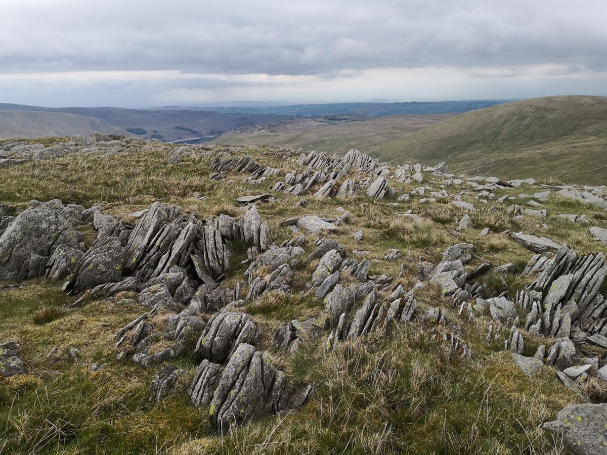
- Haytor: the most accessible, minutes from a car park, with a view as far as the sea. Busy, but worth it to get your bearings.
- Hound Tor: the ruins of an abandoned medieval village sit right below it, and the name fed the legend of the spectral hound.
- Bowerman’s Nose: a stacked granite column with a startling resemblance to a human head. The legend says it is a petrified hunter.
- Wistman’s Wood: a wood of stunted, contorted oaks with moss over the boulders. Access into the wood itself is restricted, so you look from the path.
- Postbridge: the medieval granite slab bridge over the East Dart. The finest clapper bridge in England.
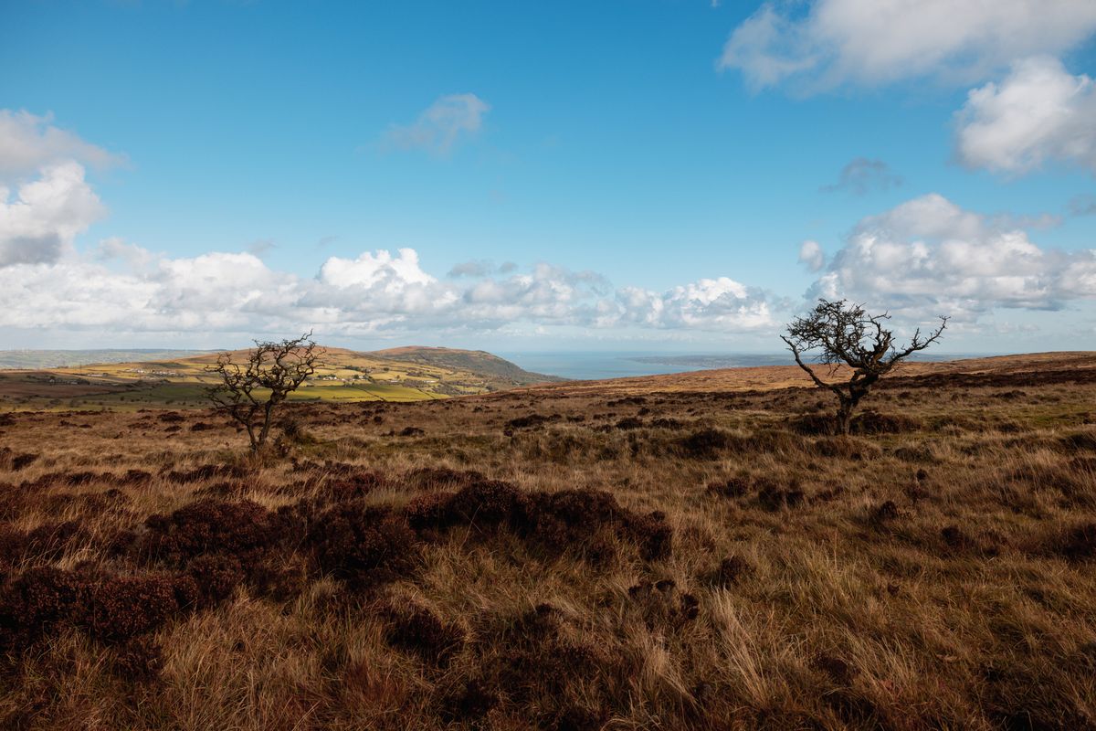
Most of the good walks are between four and ten kilometres and start from marked car parks on the roads that cross the plateau. There is no waymarking out on the open moor, so bring a map and compass, not just a phone.
The ponies: who owns them and why you must not feed them
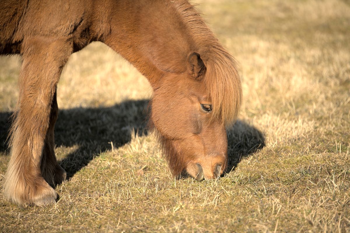
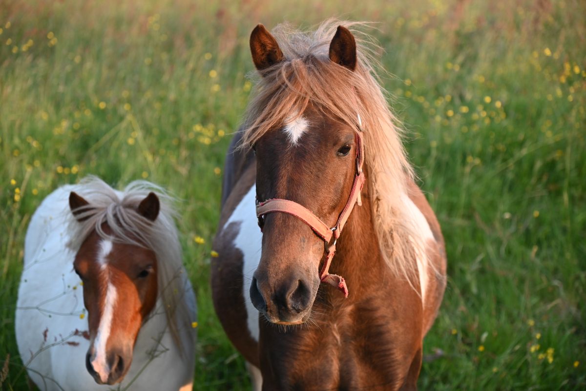
They roam free, live out all year and look wild, but they are not. Every pony on the moor has an owner, a farmer holding grazing rights on the commons. In autumn the drifts take place, when they are gathered in for veterinary checks and marking, then released again.
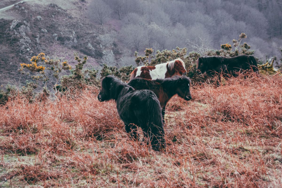
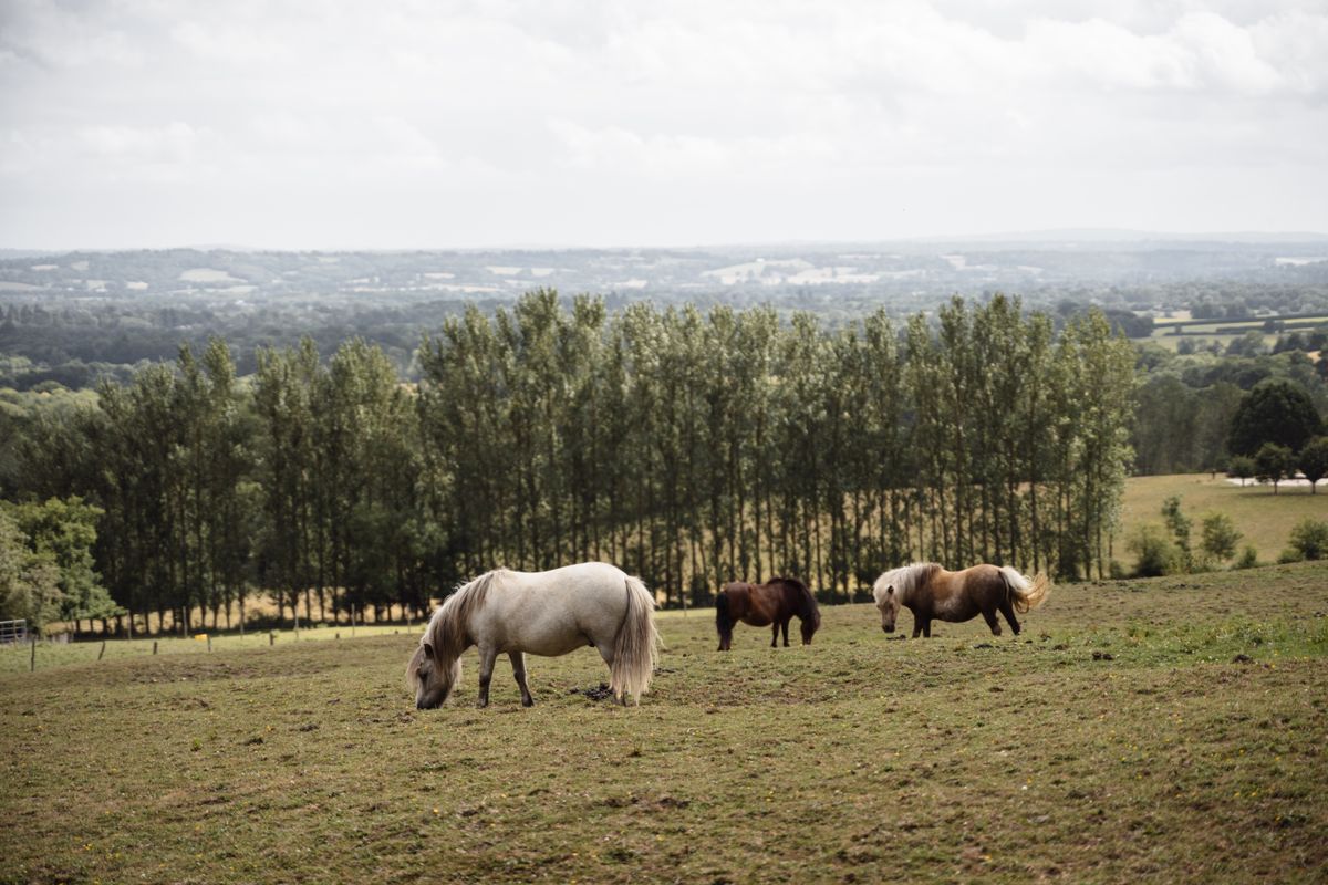
Their numbers have fallen sharply: from over thirty thousand in the middle of the last century to a few thousand today, and the pure bred animals are far fewer still. The reason is economic, because there is no longer a market for them, and their grazing is exactly what keeps the landscape open.
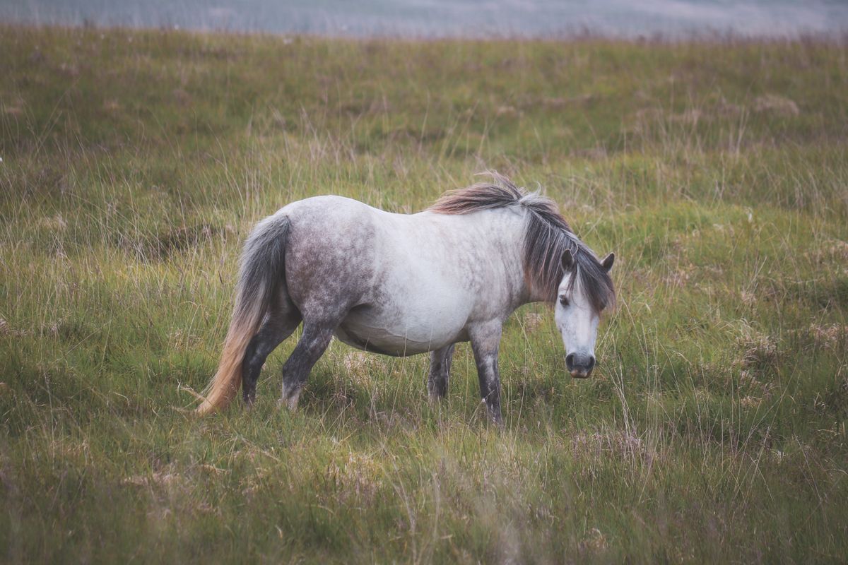
Feeding the ponies is prohibited and, in some areas, punishable by a fine. The reason is not sentimental: fed animals learn to wait at the roadside, and that is where they are hit by cars. Dozens die that way every year. Human food also upsets their digestion. Look at them, photograph them from a distance, do not touch them and above all do not feed them.
The Hound of the Baskervilles and the stories of the moor
The best known Sherlock Holmes novel is set here. Arthur Conan Doyle wrote it in 1902 after a visit to the area with a local journalist who told him the legends. He invented very little: he took what was already circulating.
The underlying legend is that of a pack of spectral hounds said to cross the moor at night, driven by a huntsman. The second source is the story of a seventeenth century local squire with a reputation so bad that his tomb was covered by a stone building with iron bars, so that he could not get out.
The mire in the novel has a real counterpart too, in an area of waterlogged peat in the central moor. The stories of people and animals swallowed by the bog are not pure invention, merely exaggerated.
Also here, at Princetown, stands the prison built in 1809 for prisoners of the Napoleonic wars and still in use. The building and the permanent fog around it have contributed a good deal to the bleak reputation of the place.
Wild camping, the only legal right of its kind in England
This is the most interesting legal quirk of the place. An act of 1985 confirmed a public right to camp overnight on the commons without the landowner permission. It is the only place in England where that right exists.
The right was challenged in court by two landowners, and a judgment in 2023 removed it for several months. The Court of Appeal restored it the same year, and in 2025 the Supreme Court confirmed the public right for good. It is effectively the only recent case in which public access to nature has been extended through the courts in England.
- Camp only in the areas marked on the official park map, not anywhere you like.
- Backpack tents only. No campervans, no camping beside a car, no large family tents.
- Two nights maximum in the same spot.
- No open fires, no trace left, everything carried back out.
- At least a hundred metres from the road and well away from houses.
Bogs, fog and military ranges
The moor looks gentle and that is what catches people out. It is not high, but it has three genuine hazards, and all three appear regularly in the rescue team reports.
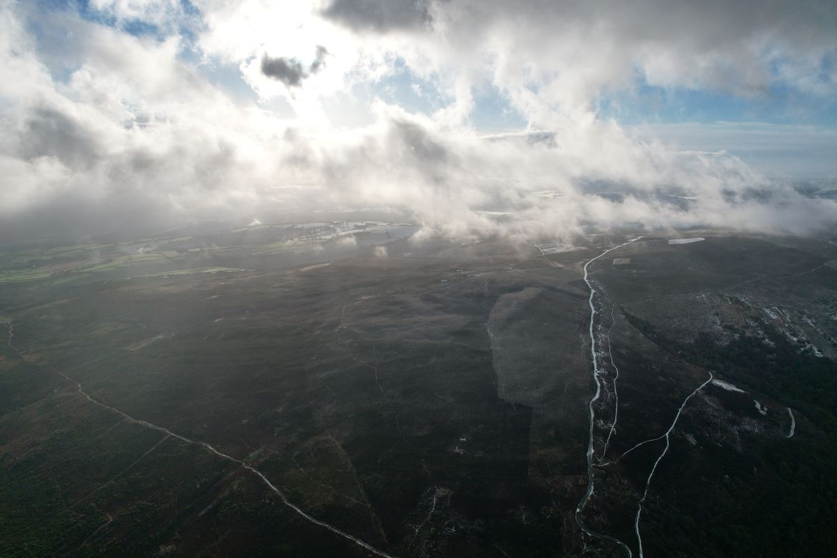
Fog closes in within minutes and wipes out every reference point. With no visible landmarks the tors become indistinguishable from each other, and phone signal is poor out on the plateau. Paper map and compass are essential, plus a power bank.
Waterlogged peat is not to be crossed. It will not swallow you as in the films, but you end up knee deep in mud, lose your boots and wear yourself out. Go around, even if it adds a kilometre.
In the north there are three active military firing ranges. When firing is on, red flags fly and red lights show at night. The firing timetable is published in advance and must be checked before any walk in that area. Never enter when a flag is up, and never touch metal objects found on the ground.
Getting there, where to stay and when to go
| Item | Detail |
|---|---|
| Gateway | Exeter, about 30 minutes away by car |
| By train | Exeter, then the local line to Okehampton |
| Good bases | Chagford, Widecombe, Princetown, Tavistock |
| Days needed | 2 to 3, or one day out from Exeter |
| Best months | May to September, with unsettled weather at any time |
| Essential kit | paper map, compass, waterproof jacket |
| To check | the firing timetable for the northern ranges |
Dartmoor combines well with the rest of the region: it sits between Exeter and Cornwall, so it slots into a longer route without any real detour. Accommodation is in small villages, in guest houses and inns, and prices are far more reasonable than on the coast.
Camping maps, firing times and path conditions are published by the national park authority, and visitor information by the regional tourist board.
Frequently asked questions (FAQ)
Conclusion
Dartmoor is a granite plateau shaped by people, with thousands of prehistoric remains, ponies that all have owners, and the only wild camping right in England, confirmed by the Supreme Court.
Take a paper map and compass, check the firing timetable if you head north, go around the waterlogged ground and, however tempting, do not feed the animals beside the road.
