
 By

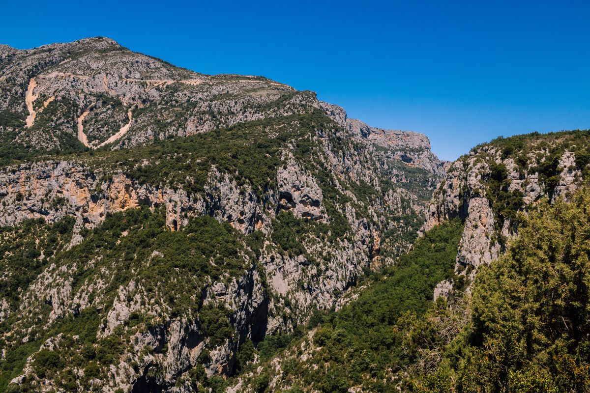
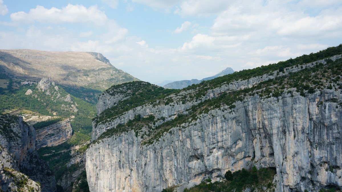
The Vikos gorge appears in the record books as the deepest canyon in the world relative to its width. It is not the deepest in absolute figures, and the distinction matters: the walls drop as much as nine hundred metres while the opening stays narrow, which gives the sense of a slot cut into the mountain. The walk along its floor is the best day hike on the Greek mainland.
What the record actually means, how to walk the full route, where the viewpoints are, how hard it is and when you can go.
Why the Vikos gorge holds the record and what it means
The record is for the ratio of depth to width, not for raw depth. The walls reach around nine hundred metres, and at the narrowest point the opening at the top is about eleven hundred metres, dropping to a hundred metres at the base. By comparison, much deeper canyons are also much wider, so they read as valleys rather than slots.
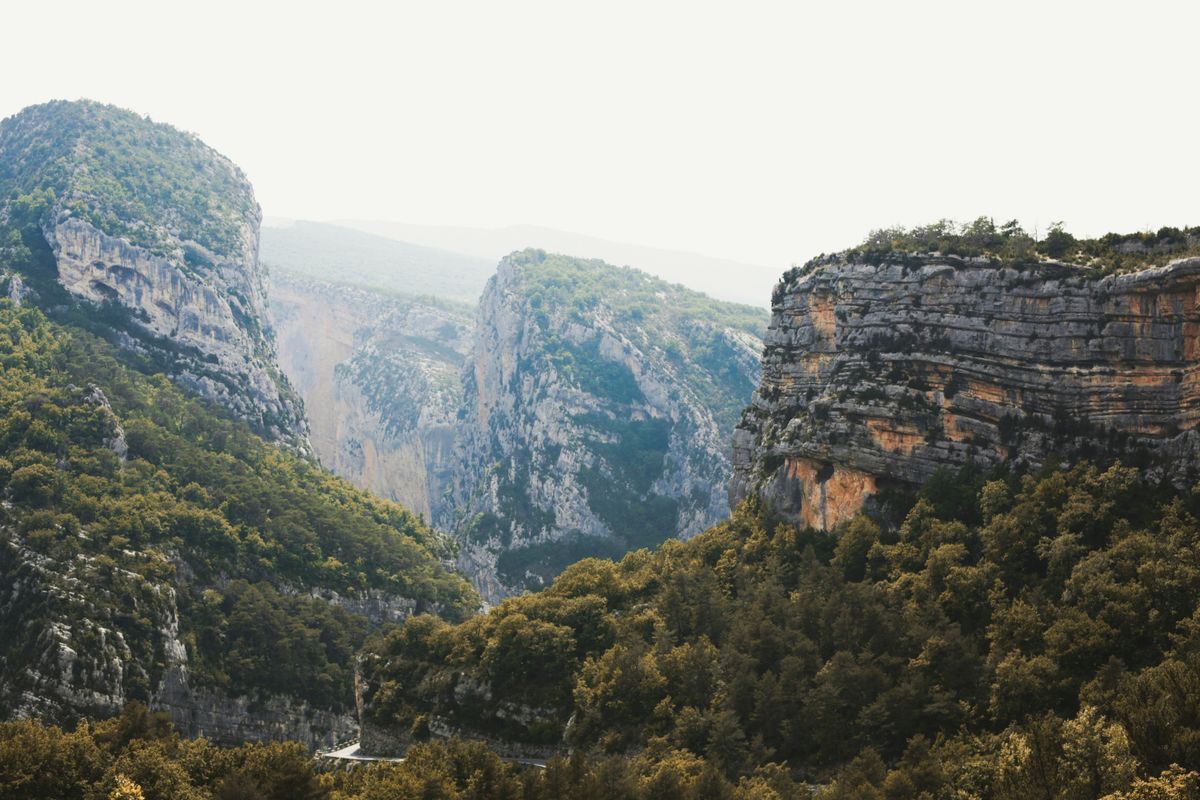
In practice that means from above you see the opposite wall almost vertically, and from below the sky is a strip. That is the only thing that matters to anyone standing there, beyond the technical argument about how a canyon is measured.
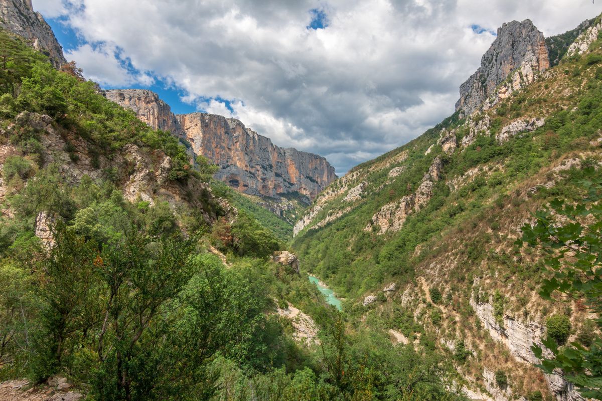
The gorge sits inside the Vikos-Aoos national park, established in 1973, and runs about twenty kilometres, of which the main walkable section is around twelve.
The full walk, step by step
The classic version starts at Monodendri and comes out at the village of Vikos or, on the longer variant, at Papingo. It is one way only, which means you need a plan for getting back.
- The descent from Monodendri: about forty minutes down steep cobbled switchbacks. This is the hardest part on the knees.
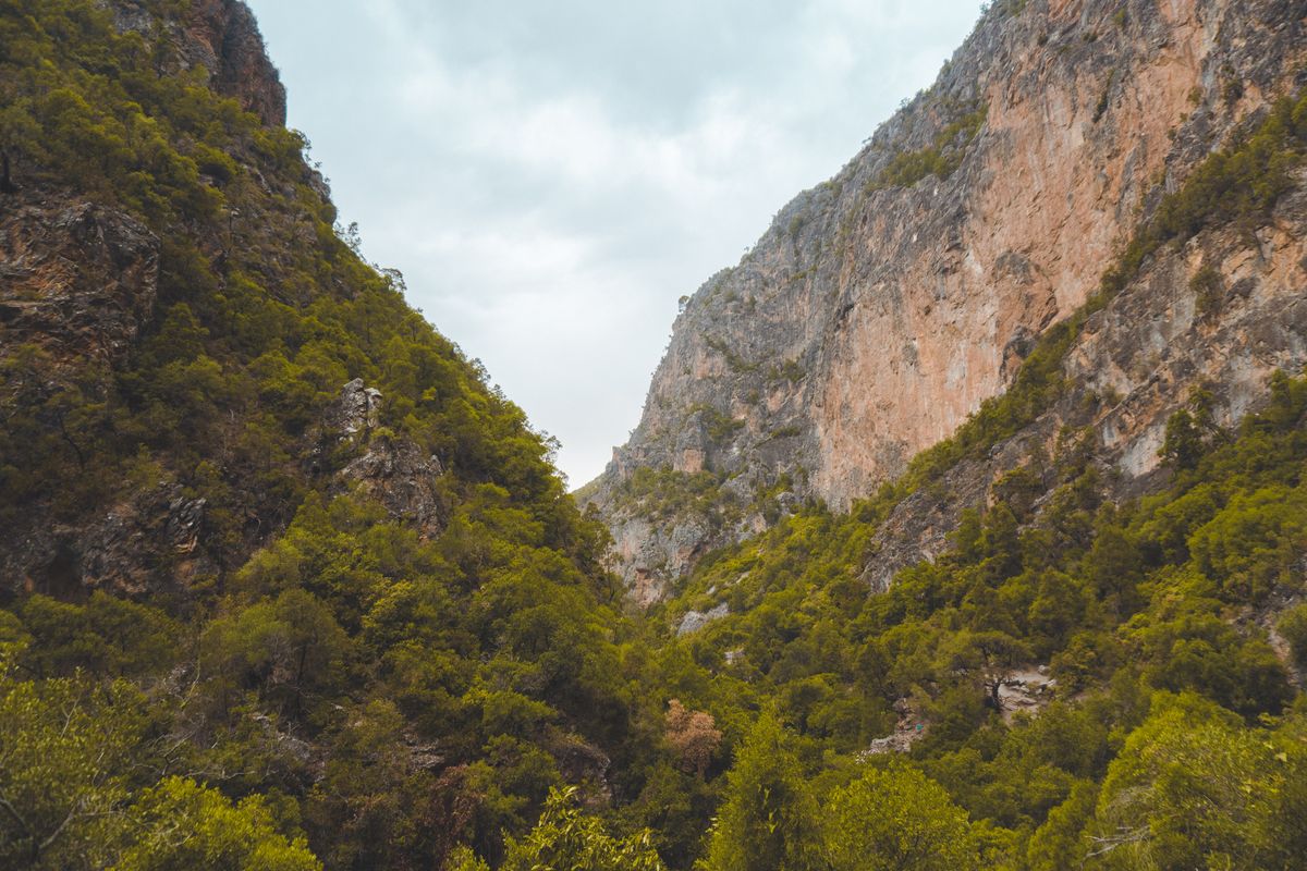
- The gorge floor: six to seven kilometres among boulders and woodland, waymarked on the rocks. The ground is uneven, not a smooth path.
- The Voidomatis springs: where the water surfaces, in green blue pools. Many people stop here for a long break.
- The climb to Vikos village: about forty minutes, or the long variant to Papingo, adding two hours and a serious ascent.
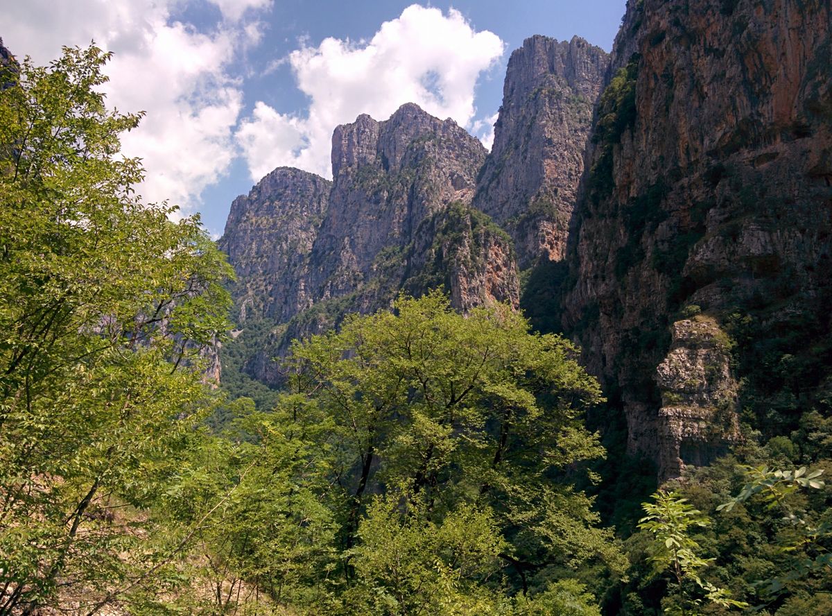
Total: five to seven hours for the Monodendri to Vikos version, depending on pace and stops. It is not technical, but it is long and tiring, and the terrain demands constant attention to where you put your feet.
The route is not circular. The most common solutions are a taxi booked in advance at the exit point, costing thirty to fifty euros back to the start, or two cars left at either end if you travel in two vehicles. Guest houses in the area arrange transfers and that is the simplest option. Do not set off without knowing how you will get back: there is no public transport at the gorge exit and no phone signal along most of the route.
The viewpoints, if you would rather not descend
The best image of the gorge is not from below but from above. If you do not have six hours or the fitness for the walk, two points give you nearly all of it.
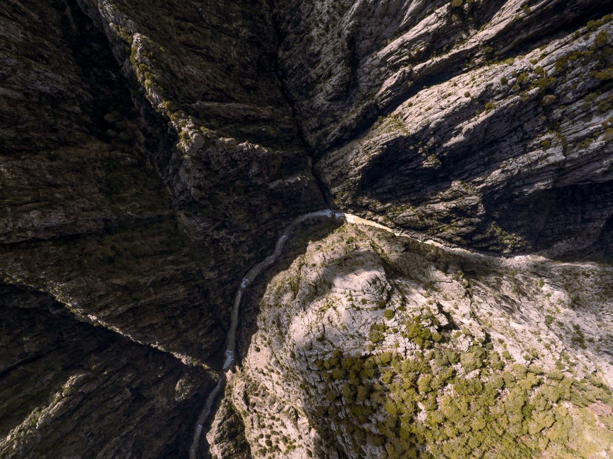
- The Oxya viewpoint, near Monodendri: drive almost to the edge, then a few steps. The easiest panorama.
- The Beloi viewpoint, above Vradeto village: about thirty minutes on foot across a plateau, with a head on vertical view. The most dramatic.
- The Agia Paraskevi monastery at Monodendri: clinging to the cliff, with a narrow path cut into the rock continuing beyond it.
- The viewpoint at Vikos village: looking in from the lower end, with the gorge opening up ahead.
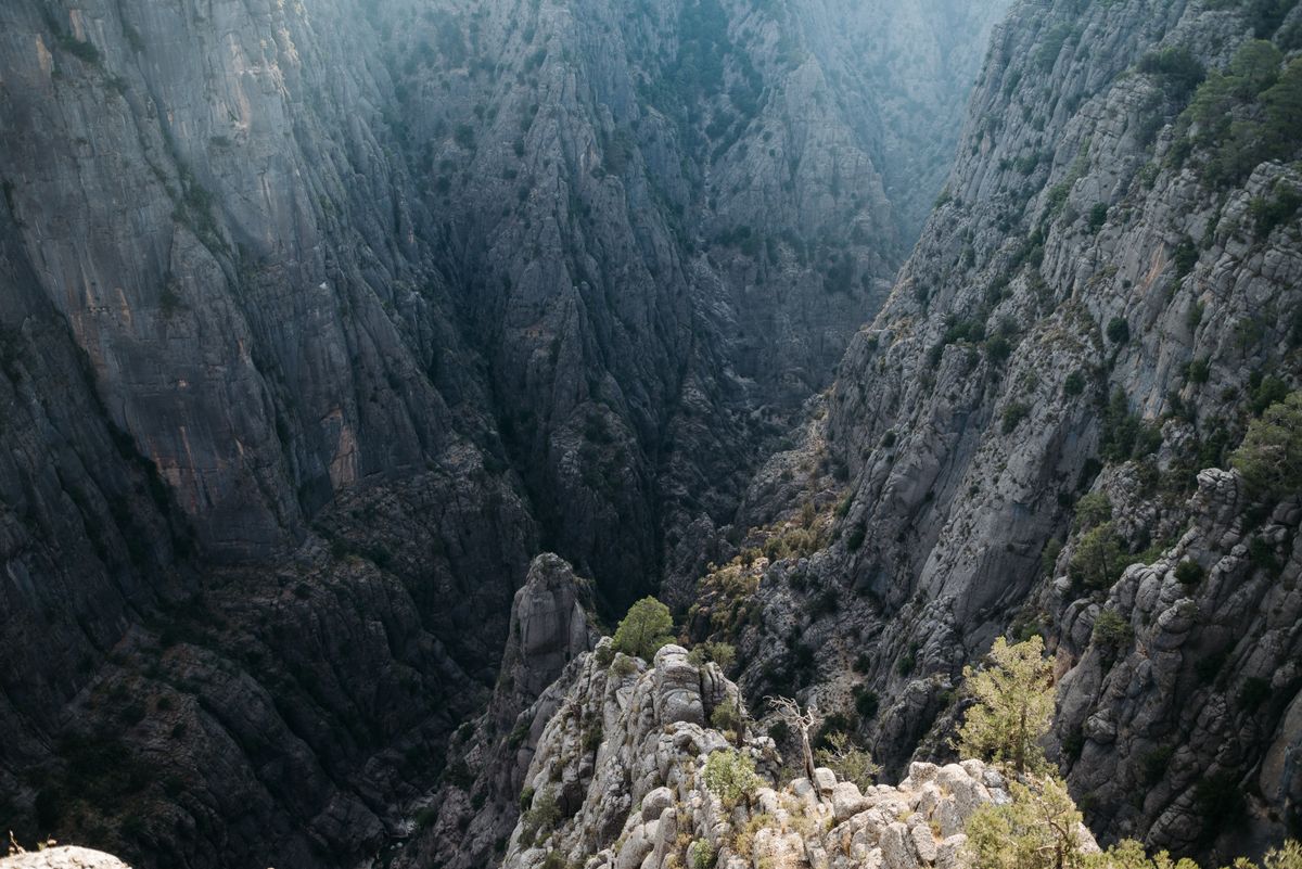
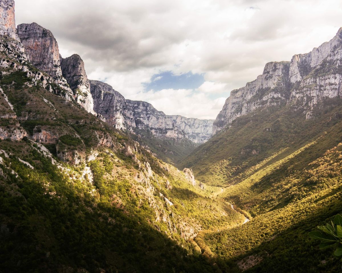
Combining the Vradeto steps with the Beloi viewpoint is the best half day in the region and requires no particular fitness.
The water, the part that catches everyone out
The Voidomatis river, which runs through the gorge, is reckoned among the cleanest in Europe. The unexpected part is that in summer the bed inside the gorge is dry at the surface. The water travels through the limestone and only emerges at the springs near the lower end.
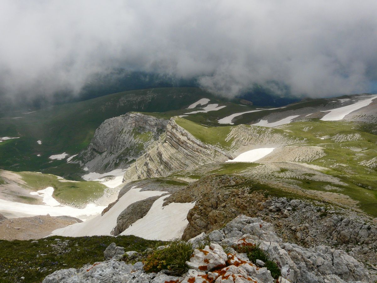
That has two practical consequences. First: do not count on water along the route, carry at least two litres a person, three in summer. Second: if you want to see the river running, come in spring, when the flow is at its maximum and the gorge looks entirely different.
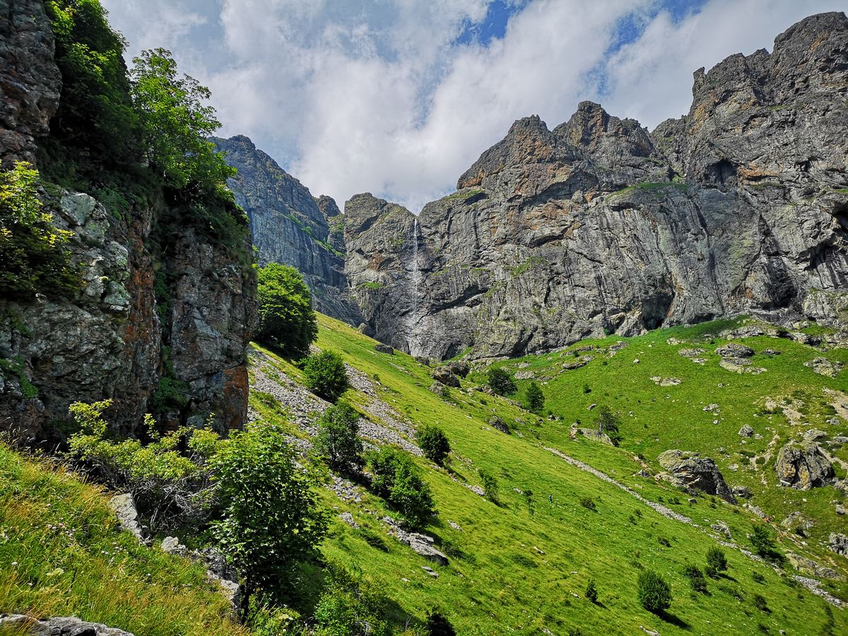
On the lower section, downstream of the springs, there is gentle rafting and swimming. The water sits at around ten degrees all year, which is a genuine shock rather than a figure of speech.
When you can go and what the risks are
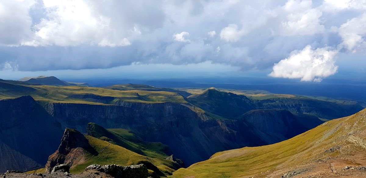
The usable season is April to October. Outside it the route becomes dangerous, from ice on the cobbled sections and from high water.
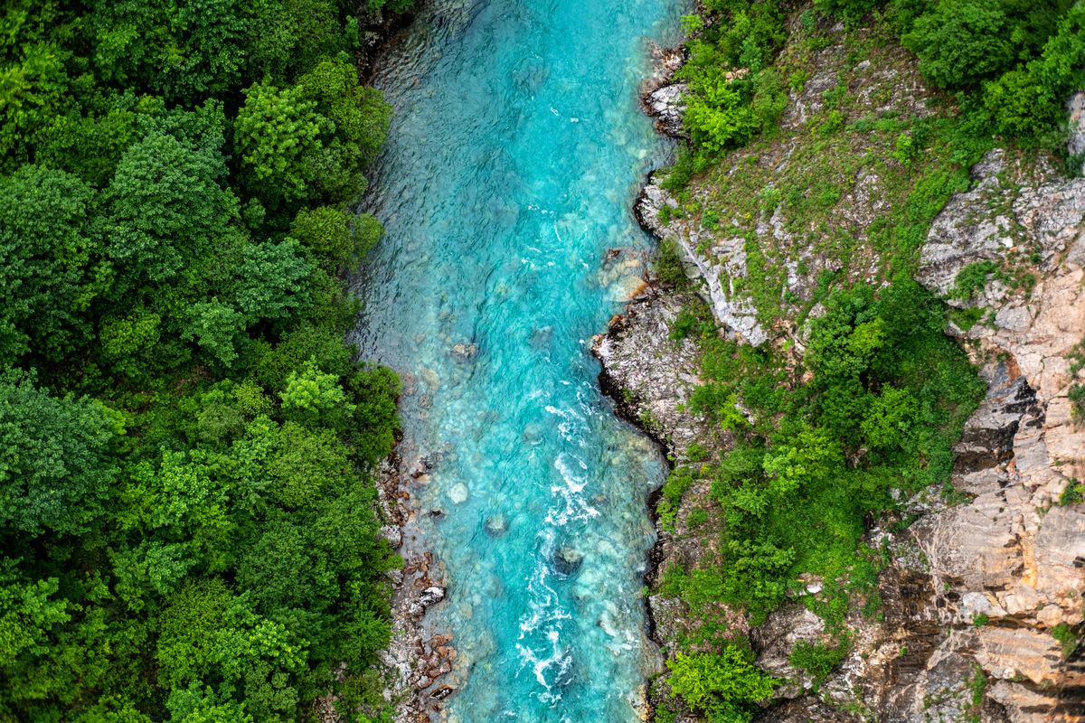
In spring, in April and May, the water can make some crossings difficult, and after heavy rain the route closes temporarily. Summer is hot and shadeless on the ascent and descent, though the gorge floor stays cool. September and October are the safest months.
The real risks are three: rockfall from the walls, especially in spring, the unstable ground on the gorge floor where you step from boulder to boulder, and the absence of phone signal. Do not go alone, tell your guest house what time you expect to come out, and set off early so you are not caught by darkness inside.
Logistics: access, kit, accommodation
| Item | Detail |
|---|---|
| Start | Monodendri, 40 minutes from Ioannina |
| Exit | Vikos village, or Papingo on the long variant |
| Duration | 5 to 7 hours for Monodendri to Vikos |
| Length | about 12 to 14 km over uneven ground |
| Water | no refill point on the route, carry 2 to 3 litres |
| Season | April to October |
| Essential | boots, offline map, return arranged in advance |
Stay in one of the Zagori villages, most conveniently Monodendri or Papingo. Many guest houses offer a package with a transfer and an early breakfast, aimed precisely at walkers. Booking ahead is necessary for weekends in September and October.
The national park status and access rules are described by the Greek national tourism organisation, and the World Heritage inscription of the surrounding cultural landscape by UNESCO.
Frequently asked questions (FAQ)
Conclusion
The Vikos gorge earns its record not through the depth figure but through proportion: near vertical walls a few hundred metres apart, a strip of sky above and a river that only appears at the exit.
Set off early, arrange your return before you descend, carry more water than you think you need, and if you do not have six hours, walk up to Beloi instead.
