
 By

Peneda-Gerês is the only national park in Portugal, created in 1971 in the far north western corner of the country, hard against the Spanish border. It holds roughly 70,000 hectares of granite, forest and water, a Roman road whose milestones are still standing where they were placed, villages that keep their maize in stone granaries on stilts, and an entire village drowned under a reservoir.
The waterfalls worth finding, the Roman road, the granite villages and their espigueiros, the drowned villages, the free roaming animals and the rules that recently tightened.
What Peneda-Gerês is and how it divides up
The park is shaped like a horseshoe opening westwards and divides by name into two massifs, Peneda in the north and Gerês in the south, with Soajo and Amarela between them. It is continuous with a Spanish park across the border, and together they form a biosphere reserve recognised by UNESCO since 2009.
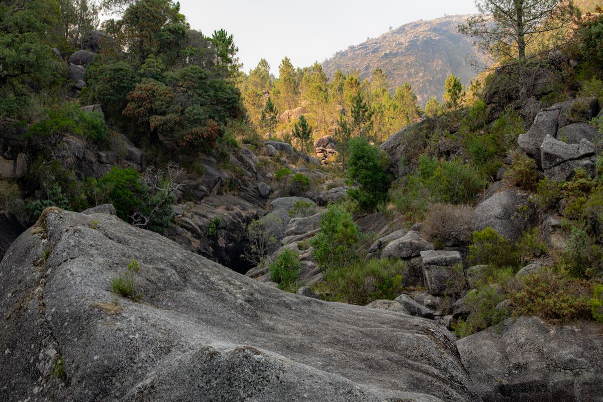
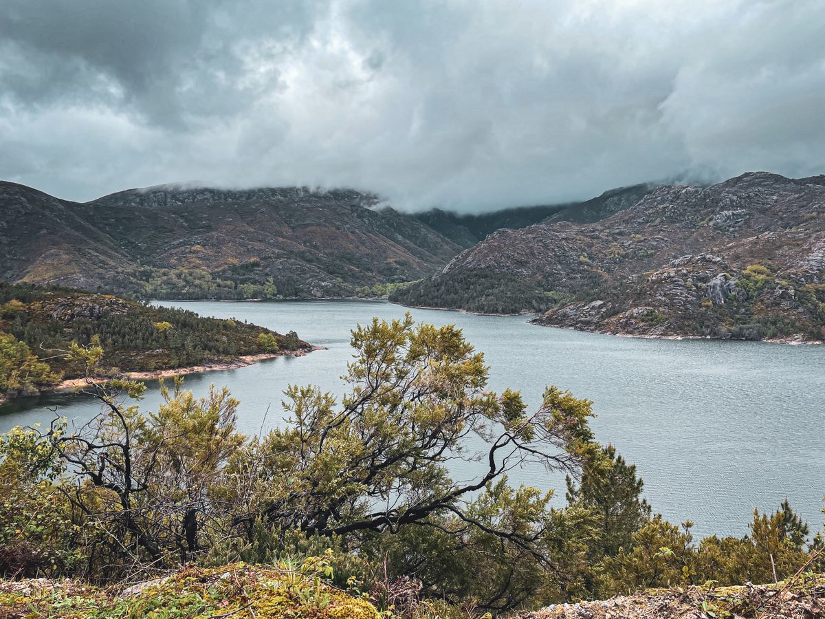
The relief is granite, with high plateaux, rounded blocks and deep valleys carrying water all year. The rain is the part nobody warns you about: this is among the wettest areas in the Iberian peninsula, which explains the green, the waterfalls and the moss on every surface.
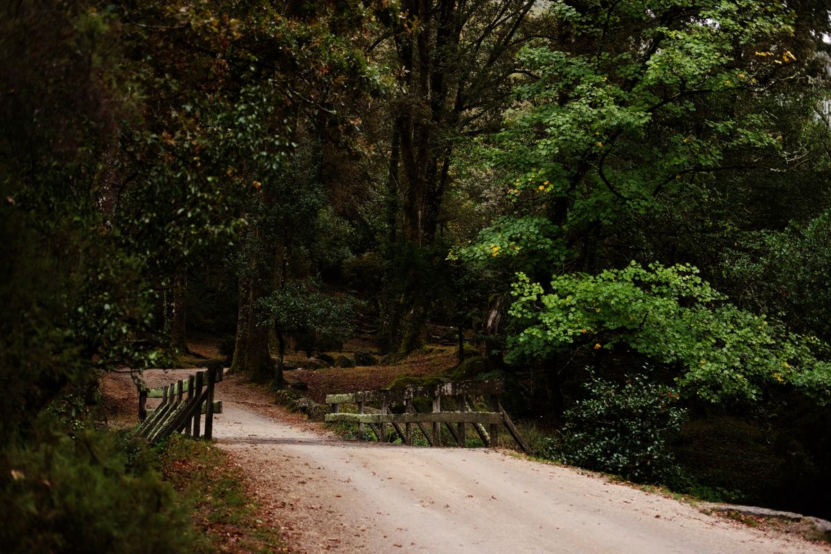
It matters to say from the start that this is not an American style park with a gate and a single visitor centre. It is inhabited territory, with villages, roads, farms and dams inside it. Some zones are strict reserve and entirely off limits, others are ordinary villages where people are simply getting on with things.
The waterfalls and what changed about reaching them
There are dozens, and most have no sign at all from the road. The best known is the Arado waterfall, which drops in steps into a pool at the bottom, on a forest track above the village of Gerês.
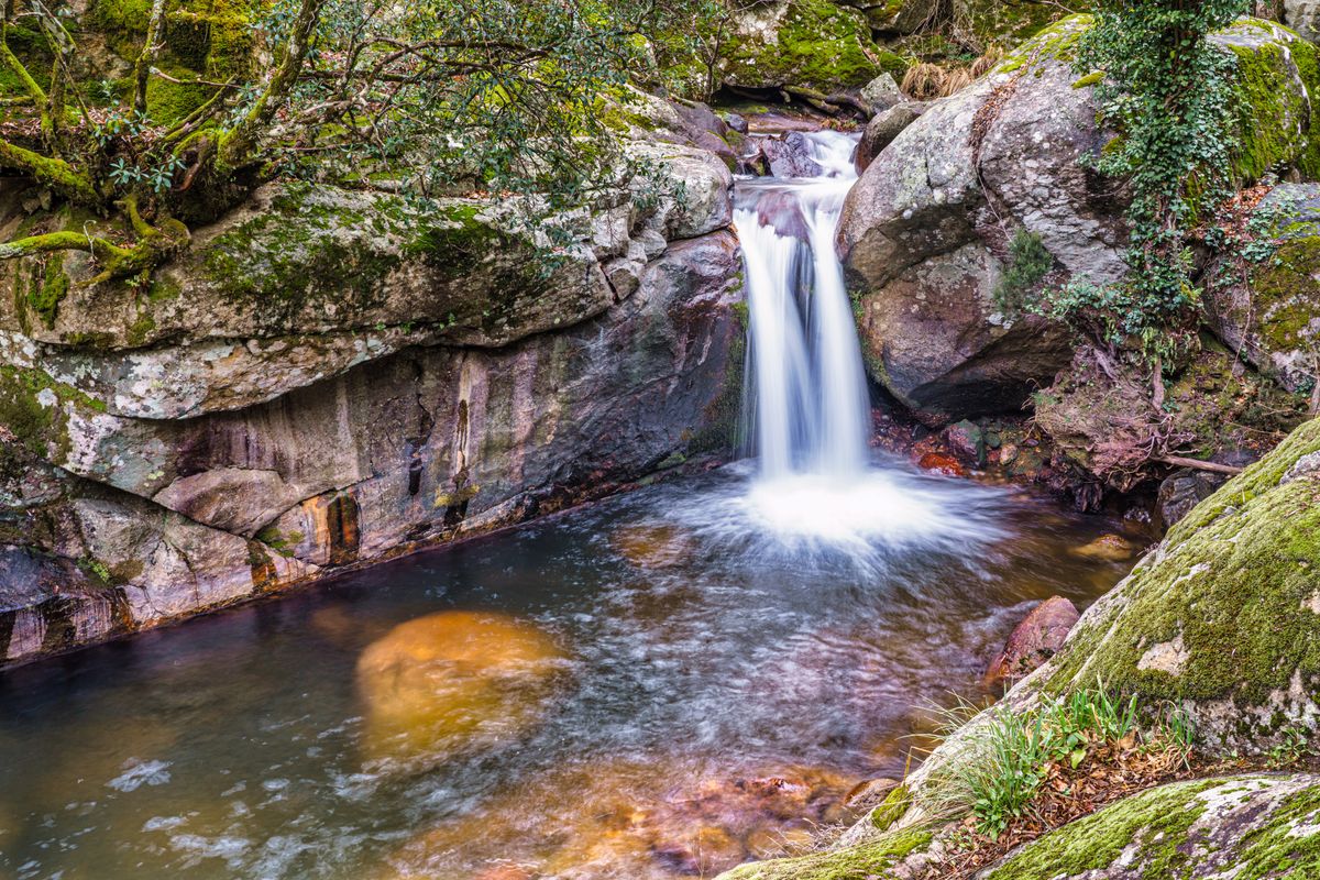
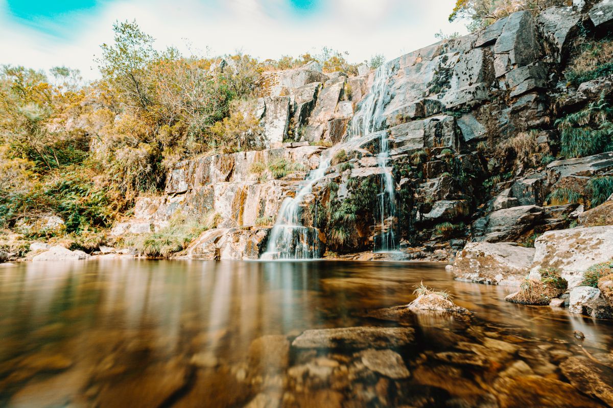
Other frequented spots are Portela do Homem, on the border, where the river forms natural pools between granite blocks, Fecha de Barjas, known locally as the Tahiti waterfall, and Poco Azul. All of them require a steep and slippery descent on foot.
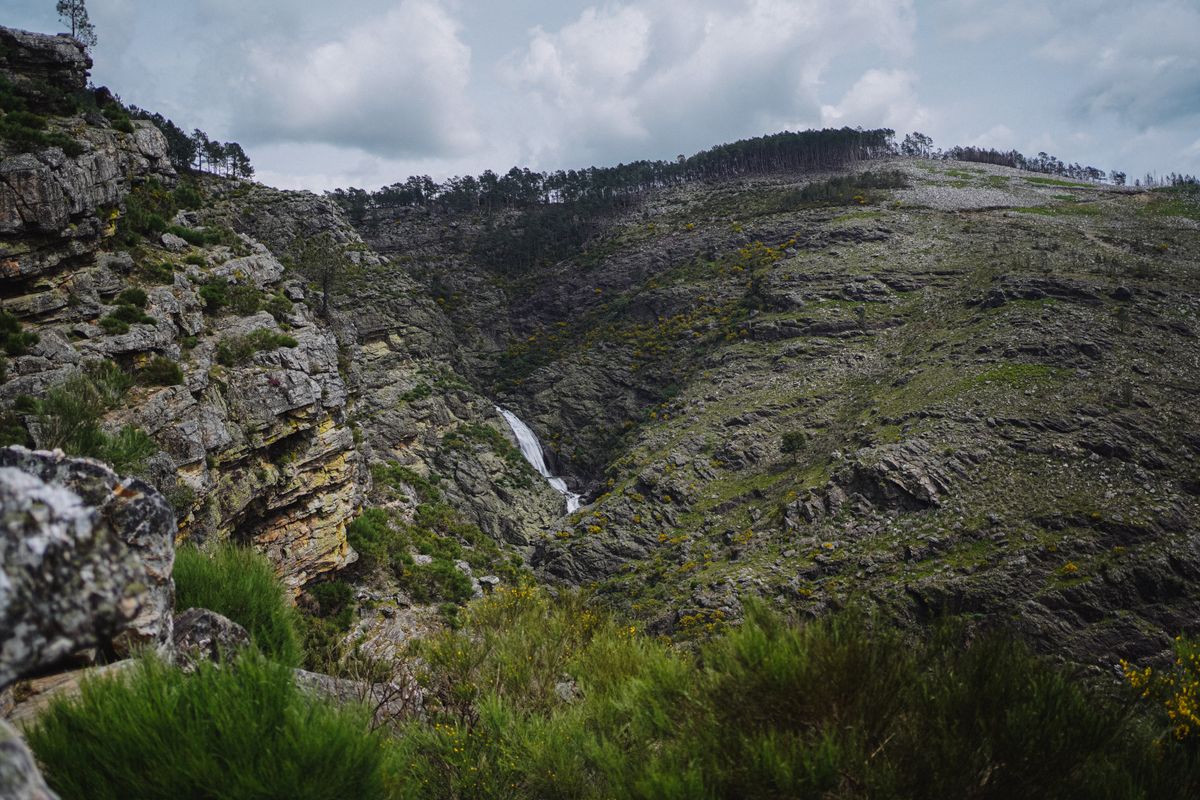
The crowds of recent years have brought real restrictions: parking has been capped at some falls, bathing has been banned or limited at others during certain periods, and vehicle access on some forest tracks is controlled in summer. On top of that, on days of high fire risk roads and trails close, sometimes overnight. Do not rely on old information from blogs, check the current situation before you leave. The fines are issued, not merely threatened.
The Geira Romana, a Roman road with its milestones in place
The Roman road linking Braga to Astorga, built in the first century, ran through the middle of what is now the park. The remarkable part is not the route itself but the fact that along the valley of the Homem river dozens of milestones survive, cylindrical stones that marked the distances, many still in their original position.
It is one of the greatest concentrations of Roman milestones anywhere in the world. Some still carry legible inscriptions naming the emperors under whom the road was repaired. You walk past them on an easy path, and the experience is oddly direct: they are not in a museum and not fenced off, they are simply there, in the woods.
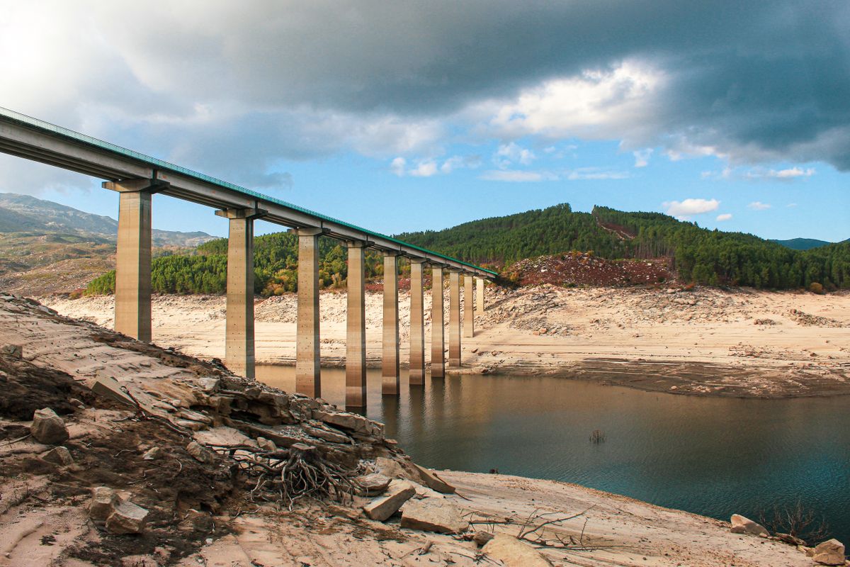
One section of the road lies under water, in the reservoir built in the seventies, and reappears when the level drops.
The granite villages and the granaries on stilts
The strongest image in the park is not a waterfall but a group of stone structures raised on short pillars and lined up on a granite platform. They are called espigueiros and they are maize granaries: the stone keeps the rain out, the slits let air circulate, and the wide discs on the pillars stop rodents climbing up.
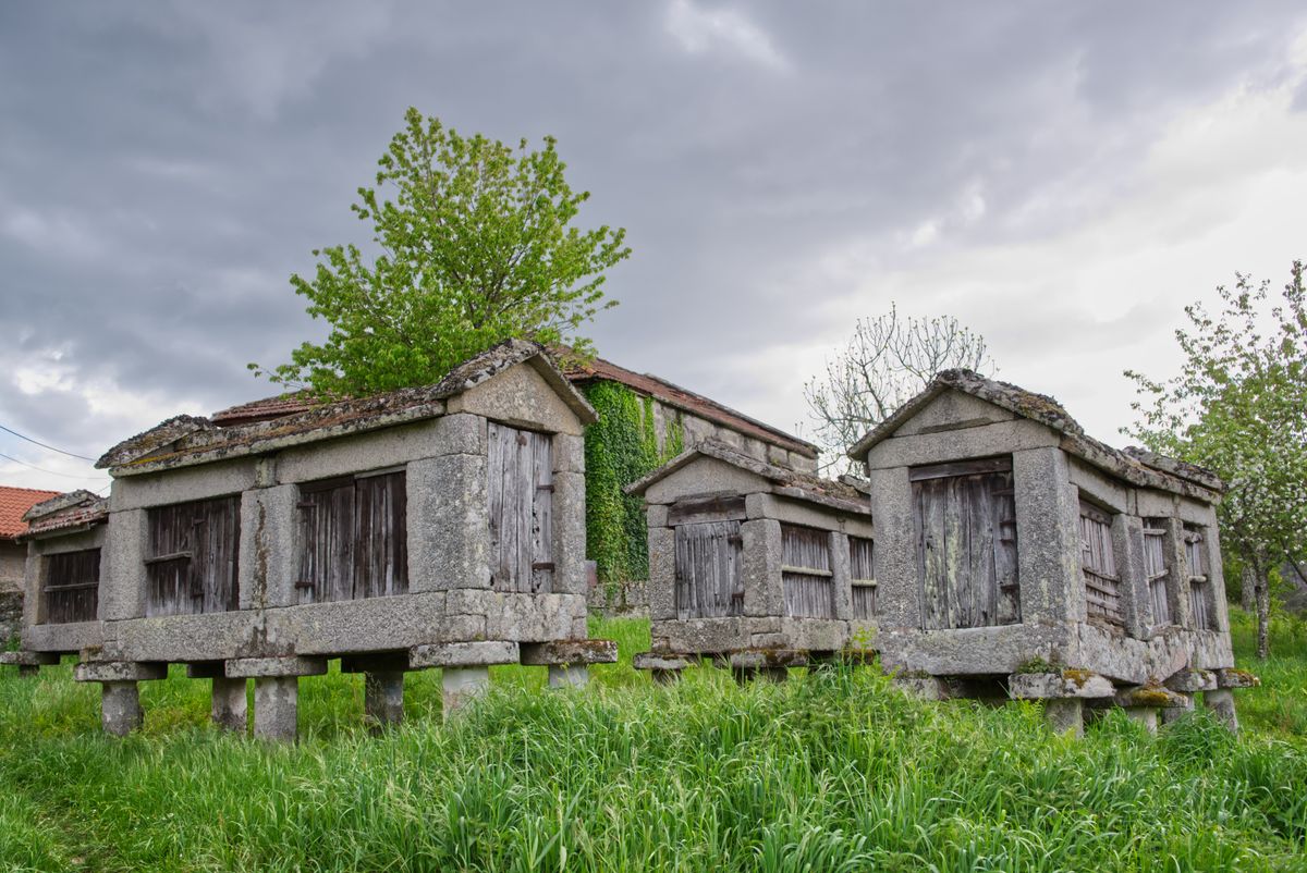
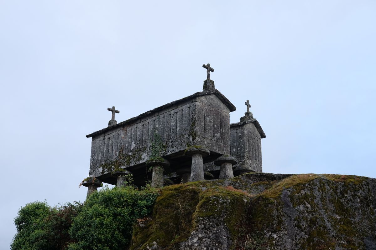
There are two main groups. At Soajo, twenty four espigueiros stand on a granite slab in the middle of the village, the oldest from the eighteenth century. At Lindoso, around fifty are lined up directly below the castle, forming an image that is unsettlingly like a graveyard, because each one carries a stone cross on top.
Both villages also have a medieval castle, and Lindoso preserves terraced fields visible from above. Castro Laboreiro, in the north, adds a third castle and the breed of dog that carries its name.
The drowned village and the one across the border
In 1972 the village of Vilarinho da Furna was flooded by a dam. It had a peculiarity that had made it famous even before that: a system of communal property and decision making in which land, water and labour were administered collectively by an assembly of villagers. Anthropologists studied it before it went under.
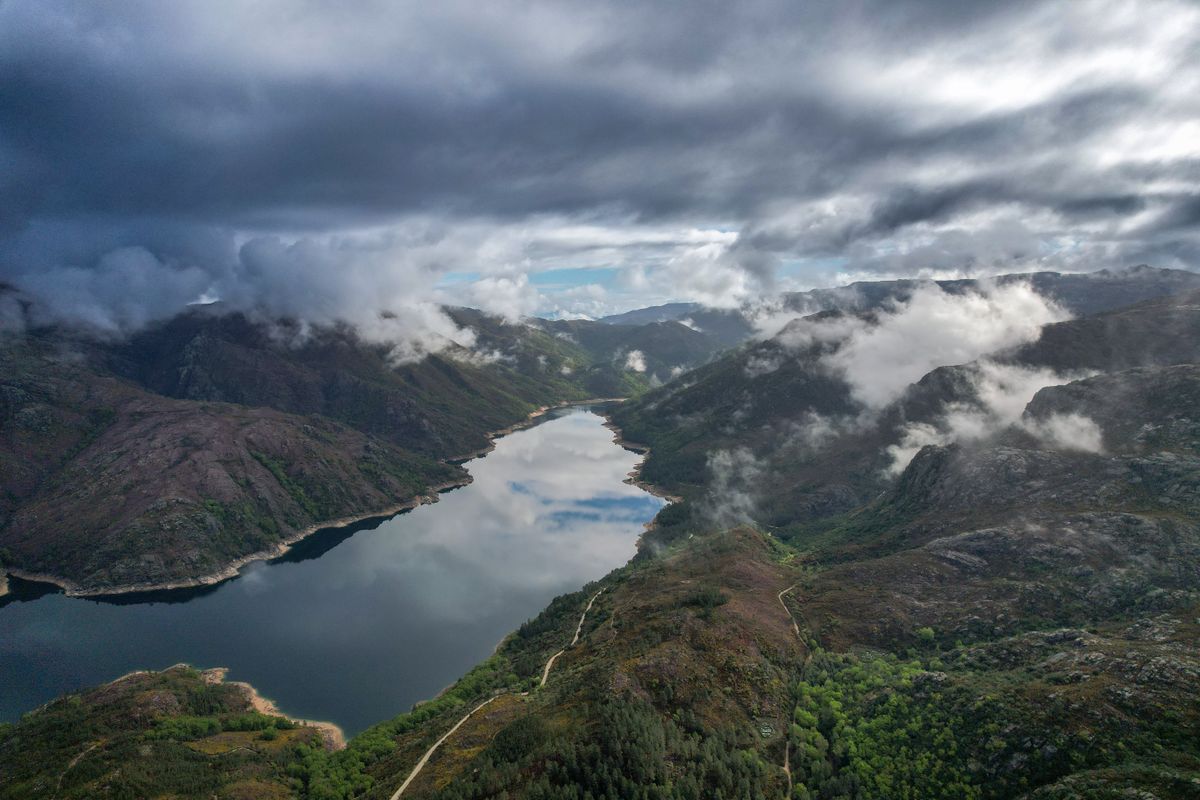
When drought lowers the reservoir the ruins reappear: walls, lanes, the outlines of houses. It is not something you can plan for, it depends entirely on the hydrological year, but it has happened several times in recent decades.
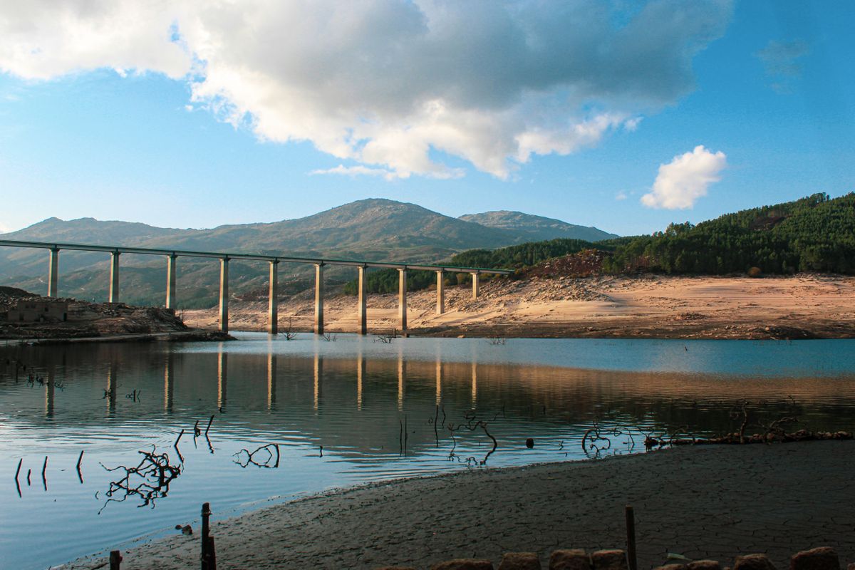
The same thing has an equivalent just across the border a few kilometres away, where a Spanish village drowned by the Alto Lindoso dam surfaces under the same conditions, with its bridge, its road and its houses. The two stories are essentially one story, cut in half by a frontier.
The free roaming animals and what that means for you
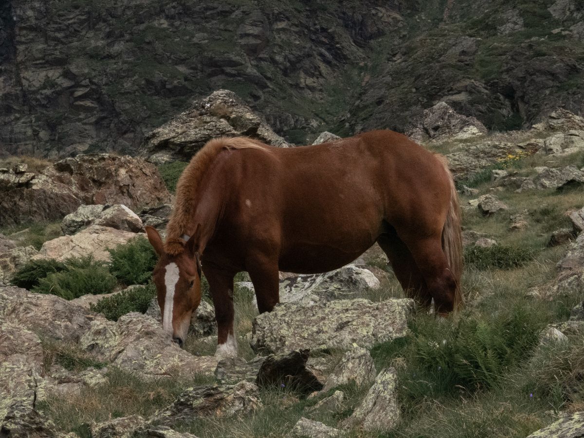
Garrano horses move freely through the park, a small, very old local breed, alongside cachena and barrosa cattle whose horns are far larger than the size of the animal would suggest. All of them have owners, even though they graze unsupervised.
The park also holds one of the few remaining Iberian wolf populations in Portugal. The chance of seeing one is close to zero, but their presence explains why shepherds still keep mastiffs and why some areas close during the breeding season.
In practice this means three things for a visitor: drive slowly, because animals stand in the road and will not move for you, do not feed the horses, and do not approach cattle with calves, because they turn aggressive.
Getting there, where to stay and when to go
| Item | Detail |
|---|---|
| From Braga | about 45 minutes to the village of Gerês |
| From Porto | around 1 hour 30 |
| Good bases | Gerês, Campo do Gerês, Soajo, Lindoso, Ponte da Barca |
| Days needed | 3, ideally 4 to 5 for both massifs |
| Best months | May to June and September to October |
| Rain | among the wettest areas in the Iberian peninsula |
| Essential | footwear with grip, the paths are permanently damp |
The village of Gerês, a small spa town, is the most practical base for the south, with rooms, restaurants and quick access to the falls. For the north, Soajo and Lindoso are far quieter and closer to the espigueiros and the trails. The road between the two halves of the park takes a long way round, so do not underestimate the driving time.
Access rules, restricted zones and official trails are published by the Portuguese nature conservation institute, and the transboundary biosphere reserve status is described by UNESCO.
Frequently asked questions (FAQ)
Conclusion
Peneda-Gerês is not an empty wilderness but land lived in for thousands of years, where a Roman road, stone granaries on stilts, a drowned village and the Iberian wolf fit inside one perimeter.
Take one massif per day, check the access rules before you leave because they change often, bring footwear with grip and drive slowly, for the animals.
