
 By

Aldeias do Xisto are twenty seven villages in central Portugal, built entirely from slabs of schist quarried out of the hillside beside them. Almost all had been abandoned by the nineteen seventies, when people left for the cities or for France, and some stood completely empty. A programme launched in 2001 brought them back, and today they are the best way to see rural Portugal without anything being invented for you.
What schist is and why they built with it, which villages are worth it, what a river beach is, and how to move around a region with no public transport.
What the Aldeias do Xisto are and how they were saved
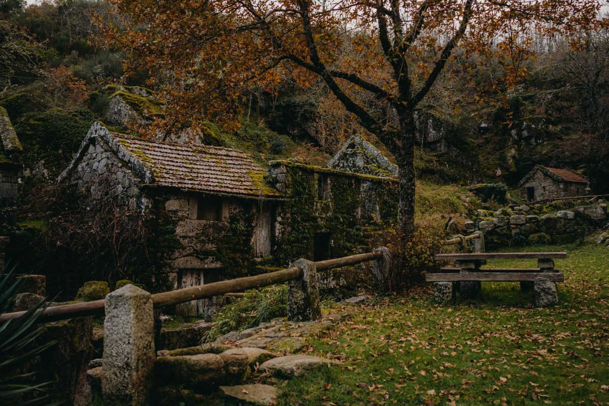
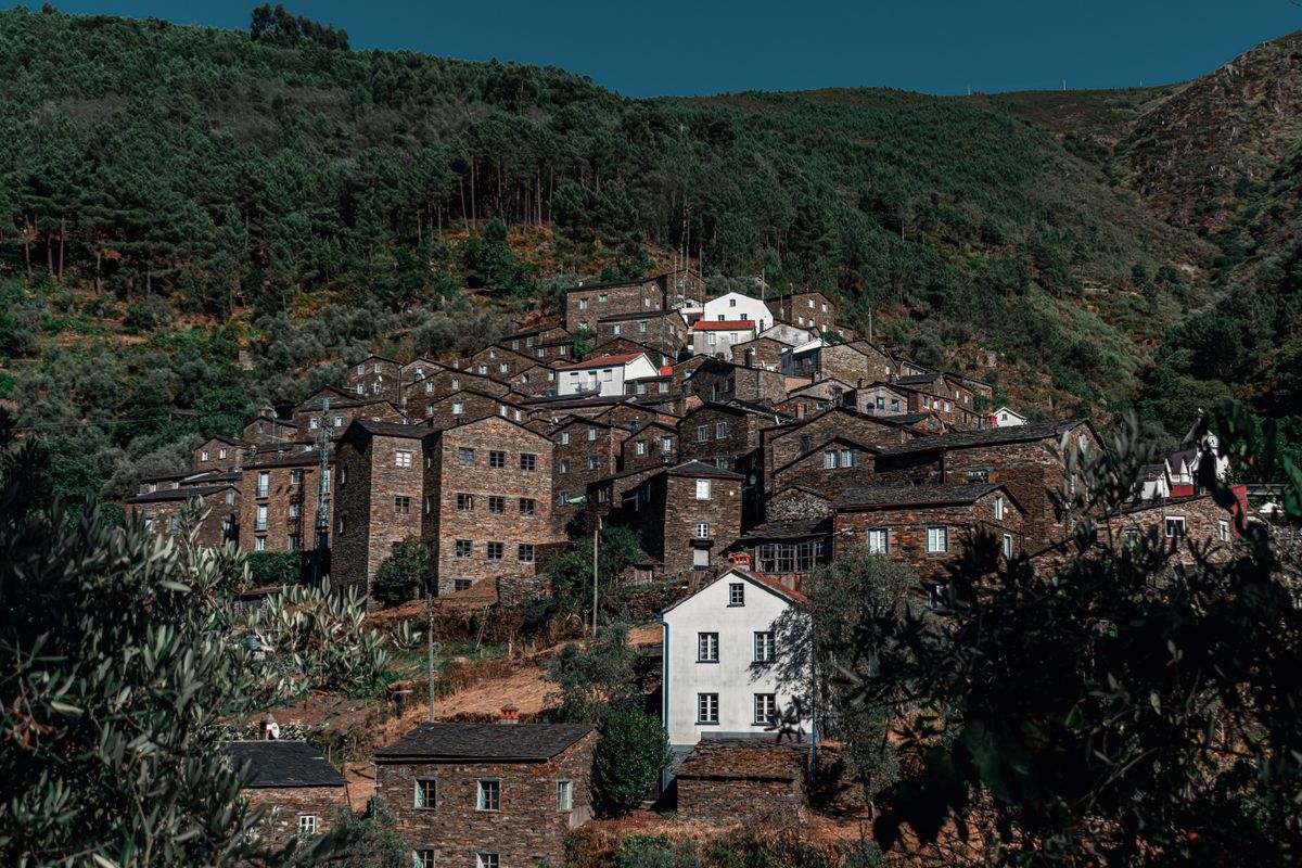
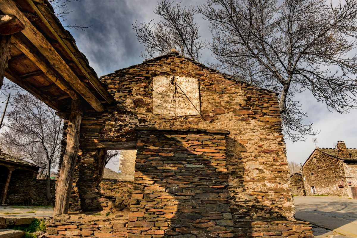
Schist is a layered metamorphic rock that splits naturally into slabs. In the mountains of central Portugal it lies at the surface everywhere, and people built with it simply because it was free and close to hand. Walls went up without mortar, slab on slab, and the roofs were made of the same material.
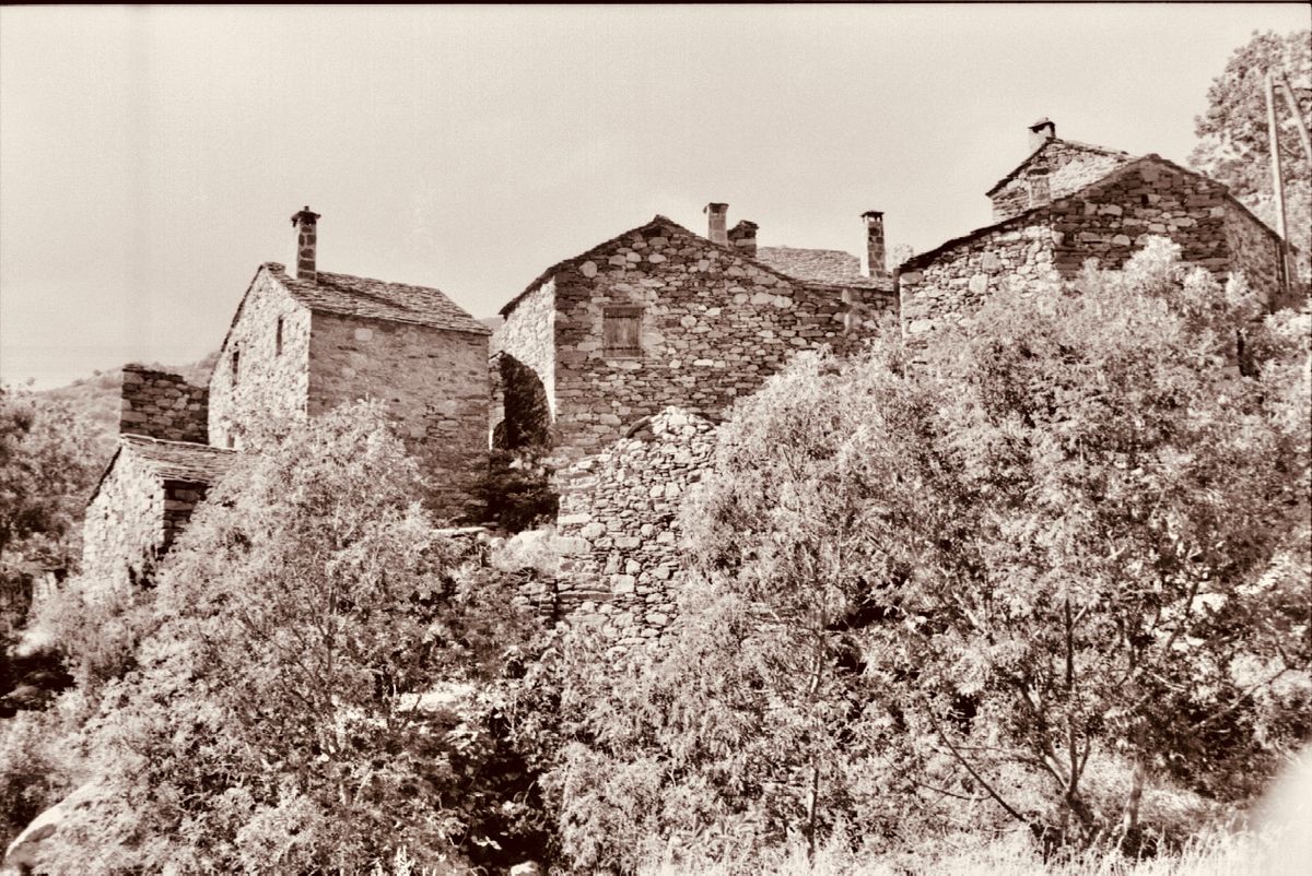
The result is villages of a single uniform colour, a grey brown that seems to grow out of the slope. There is no contrast and no render, and from a distance they merge into the rock. Only the churches are whitewashed, precisely so that they can be picked out.
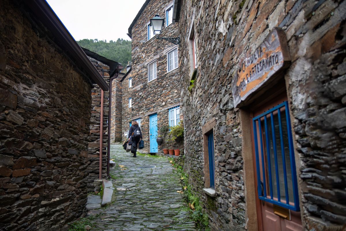
The rural exodus emptied them. Between the fifties and the seventies people left for Lisbon, Coimbra or emigration to France, and some villages reached zero inhabitants. The recovery programme, launched in 2001 with regional development funding, rebuilt the houses, brought in power and water and turned part of the stock into guest accommodation. Twenty seven villages now belong to the network.
The villages worth the most
They are spread across four districts, which means you cannot do them all. They do cluster geographically, though, and two clusters cover the essentials.
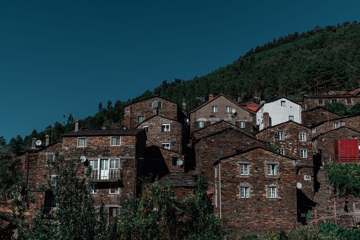
- Piodao: the best known and the most photogenic, in the Serra do Acor. The houses climb the slope in an amphitheatre and the windows and doors are painted blue. The local explanation is that for a long time the village shop stocked no other colour of paint.
- Talasnal: in the Serra da Lousa, almost fully restored, with small restaurants and rooms in schist houses. You walk in from the car park below.
- Casal Novo and Chiqueiro: neighbours of Talasnal, smaller and quieter, linked to it by footpaths.
- Cerdeira: a village turned into an artists community, with workshops, courses and summer events.
- Candal: the easiest of the Lousa cluster, with a surfaced road right into the village.
- Janeiro de Cima: on the bank of the Zezere, different from the rest, with rounded river stones set into the walls.
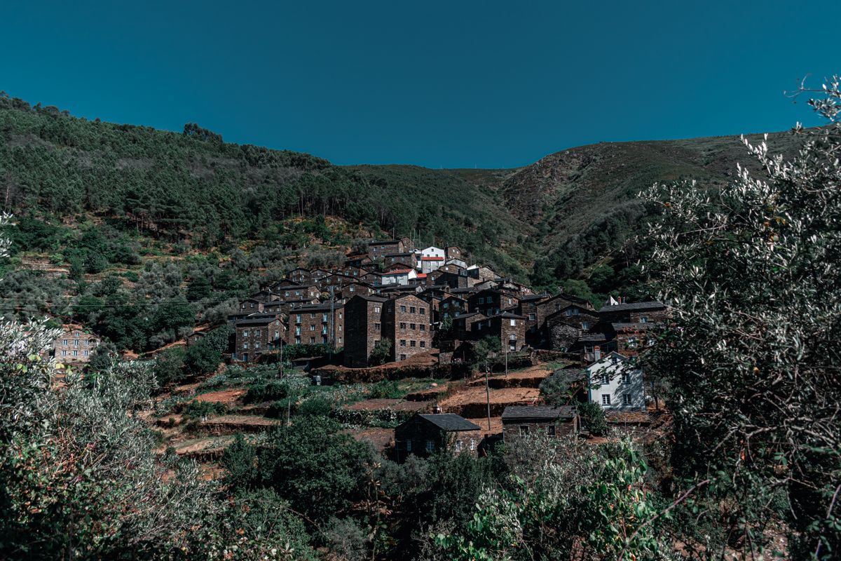
The Serra da Lousa cluster, about forty minutes from Coimbra, is the easiest to visit: five villages within a few kilometres of each other, linked by waymarked paths. Piodao is more isolated and needs a separate trip up a road of switchbacks.
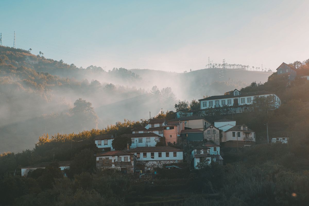
River beaches, the part nobody sees coming
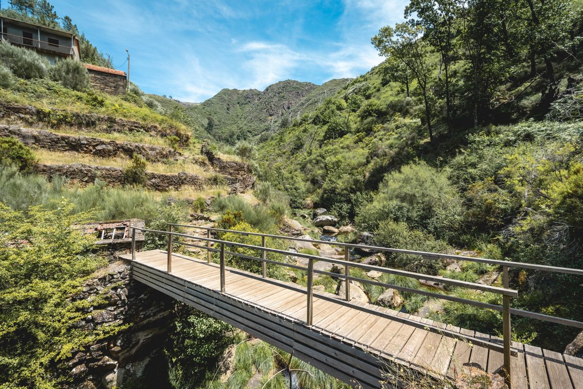
Almost every village has a river beach a few hundred metres away. It is a Portuguese concept worth explaining: a mountain stream is lightly dammed, a pool of a few dozen metres forms, and the bank is laid out with sand or wooden decking.
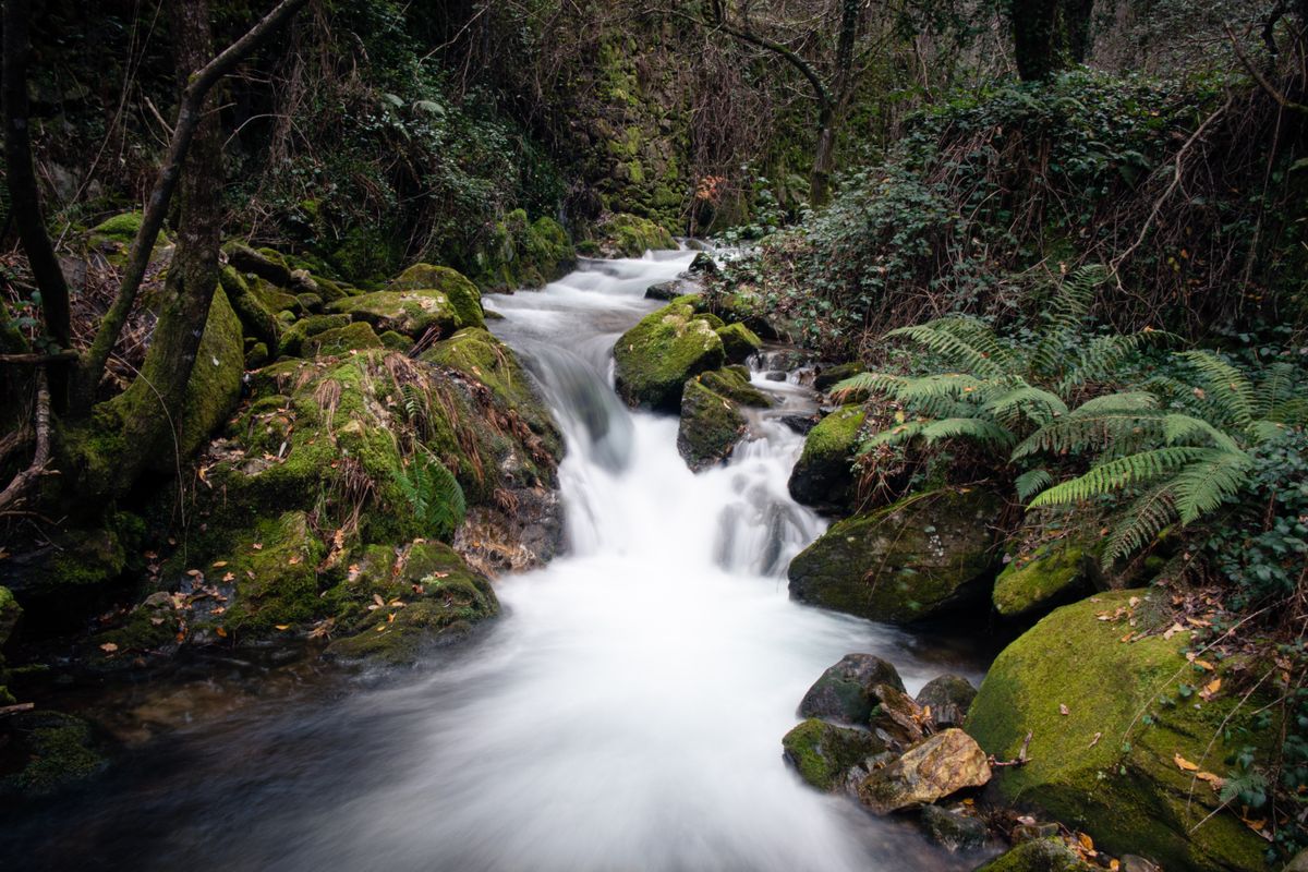
Many have changing rooms, a lifeguard in the peak months and a bar. They are free, they are clean, and in the depth of a Portuguese summer, when the valley floor hits forty degrees, they are exactly why everyone drives up into the mountains.
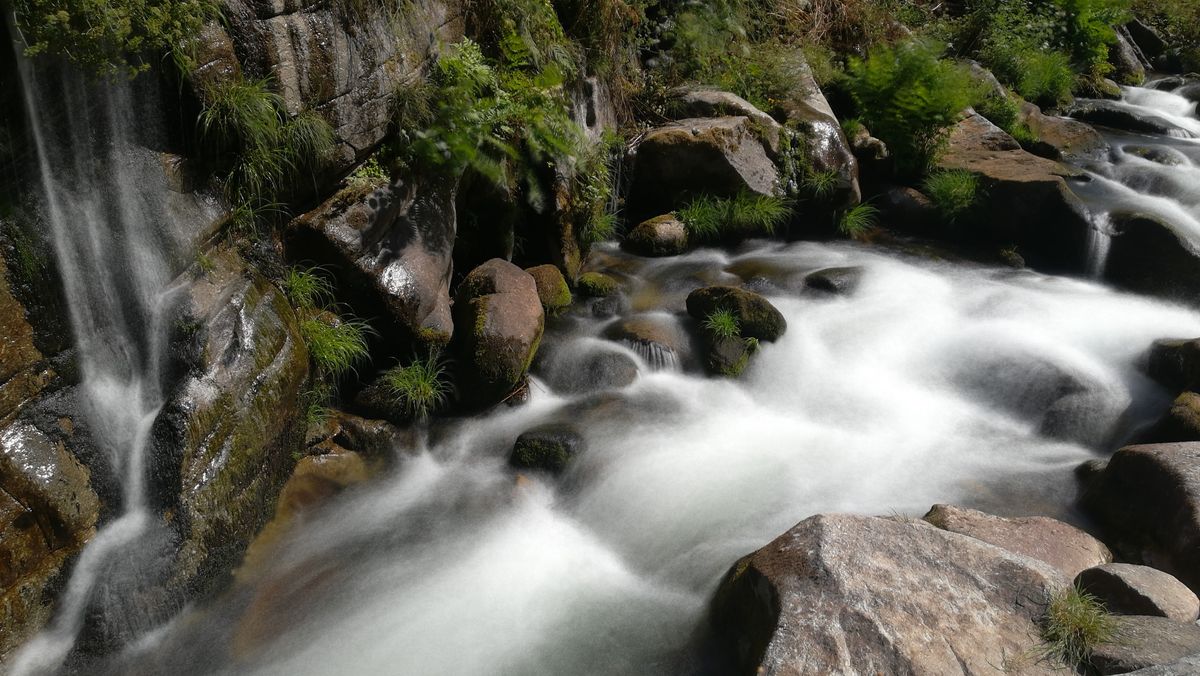
The water comes straight off the mountain and stays cold all year, somewhere around sixteen to eighteen degrees even in August. Getting in is a shock, and the deeper pools do not always have a lifeguard. Check the signs: some river beaches have monitored water quality displayed, others do not. Never jump from the rocks, because the depth shifts from year to year with the gravel.
Walking between the villages
The best way to understand the region is to link two or three villages on foot. The paths have existed for centuries, because they were the only connection between settlements, and they are now waymarked and maintained.
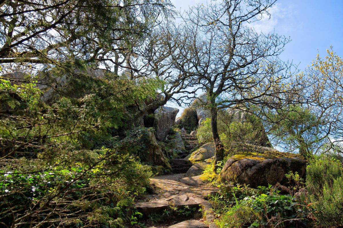
The classic loop in the Serra da Lousa starts from the town of Lousa, climbs to Talasnal, continues to Casal Novo and Chiqueiro and drops back down. It runs ten to fifteen kilometres depending on the variant, with serious ascent, because the villages sit at different heights on the same slope.
The paths are cobbled with uneven steps and turn slippery in the damp. Proper boots are not fussiness. In summer you set off early, because the south facing slopes become an oven after eleven.
The 2017 fires and what changed afterwards
In June 2017 the region was hit by the deadliest wildfire in Portuguese history, around Pedrogao Grande. Sixty six people died, most of them caught on a country road while trying to escape. Some of the schist villages were directly affected and others escaped narrowly.
The structural cause is well known and openly discussed in Portugal: the vast eucalyptus plantations grown for the paper industry burn extremely fast and turn an ordinary fire into one that cannot be stopped. Land abandoned after the rural exodus made it worse, because nobody was clearing the undergrowth any more.
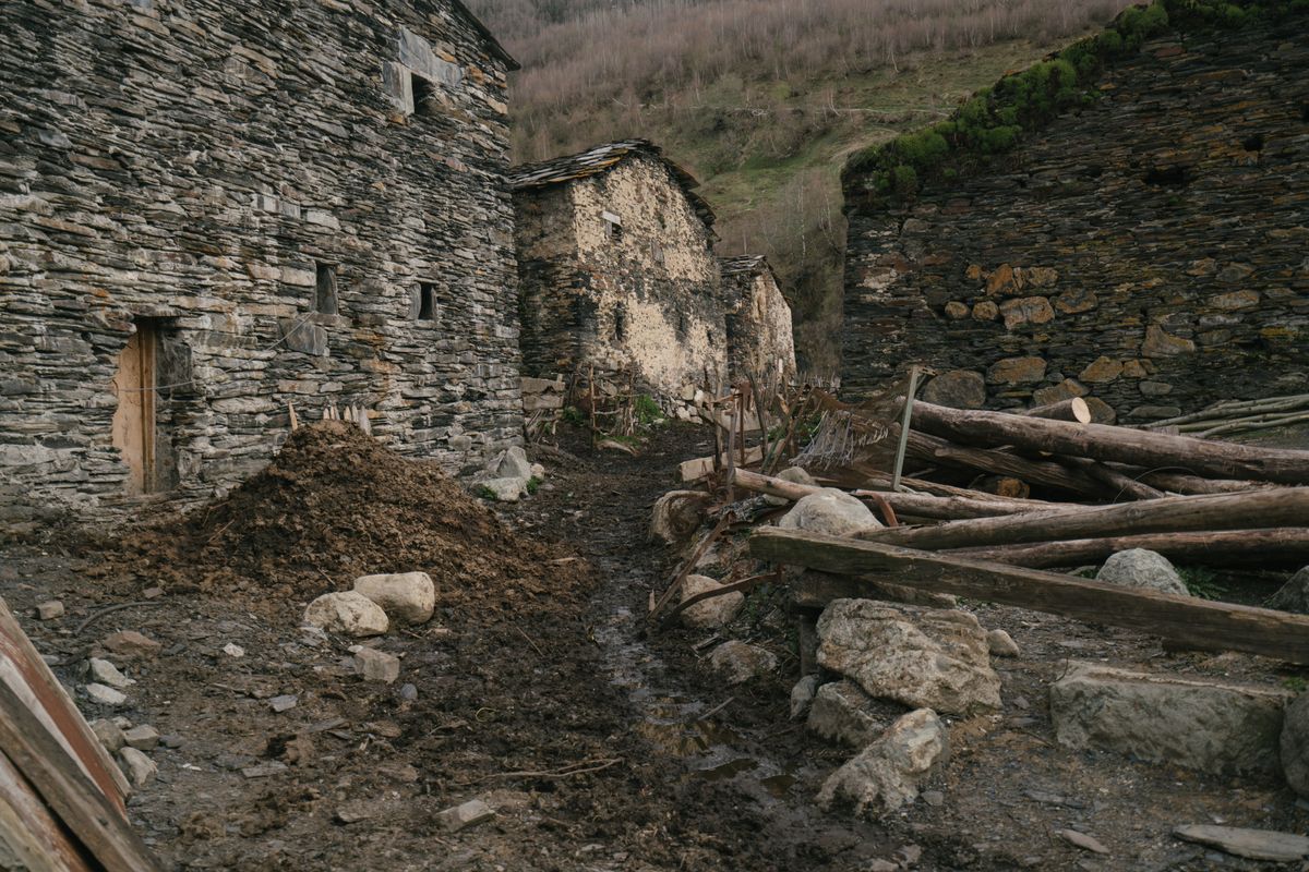
Stricter rules on clearing land around houses and a better alert system followed. For a visitor this practically means that on days of extreme risk some roads and trails close, and open fires are banned outright. Check the situation before you go if you are travelling in August.
Getting there, where to sleep and how long to stay
| Item | Detail |
|---|---|
| From Coimbra | about 40 minutes to Lousa |
| From Lisbon | around 2 hours 30 |
| Lousa cluster | 5 villages within a few kilometres of each other |
| Piodao | a separate trip up switchbacks, about 2 hours from Coimbra |
| Days needed | 2 to 3 for one cluster, 4 to 5 for several |
| Best months | May to June and September to October |
| Accommodation | restored schist houses, booked well ahead |
Public transport between the villages effectively does not exist. A car is essential, and the roads are narrow, tightly wound and often have rock fallen onto the surface after rain. You drive slowly and sound the horn briefly before blind bends, exactly as the locals do.
Accommodation is in restored schist houses, stone walled inside and usually with a fireplace. The number of beds in each village is small, and in August and on long weekends they fill completely. The full network is described by the association that runs the programme, and regional information by the central Portugal tourist board.
Frequently asked questions (FAQ)
Conclusion
Aldeias do Xisto show what happens when a public programme actually works: twenty seven villages on the point of vanishing altogether were rebuilt from the same stone they were made of.
Pick one cluster, leave time to walk between the villages on foot, drop down to a river beach in the afternoon, and book your bed early, because there are not many of them.
