
 By

Costa Vicentina is the stretch of south western Portuguese coast that nobody managed to build on. A natural park created in 1995 froze development along roughly 110 kilometres of shoreline, and the result is the least built up coast in southern Europe: cliffs, beaches with nothing at all on them, a handful of small villages and a wind that never entirely stops.
What the park protects, which beaches are worth it, where the surf is, how the coastal trail works and why summer is not the best time.
What Costa Vicentina is and why it looks nothing like the Algarve
The full name of the protected area is the Natural Park of the South West Alentejo and the Vicentine Coast. It runs from Porto Covo in the Alentejo down to Burgau, already inside the Algarve, and covers both the shoreline and a strip of land behind it.
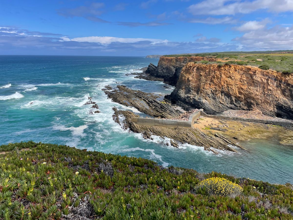
The difference from the tourist Algarve, an hour to the east, is obvious immediately. There the beaches have hotels, concrete stairways and sun loungers. Here you reach the beach down a dirt track, park on unmarked ground and walk down a path. Not because nobody wanted to build, but because nobody is allowed to.
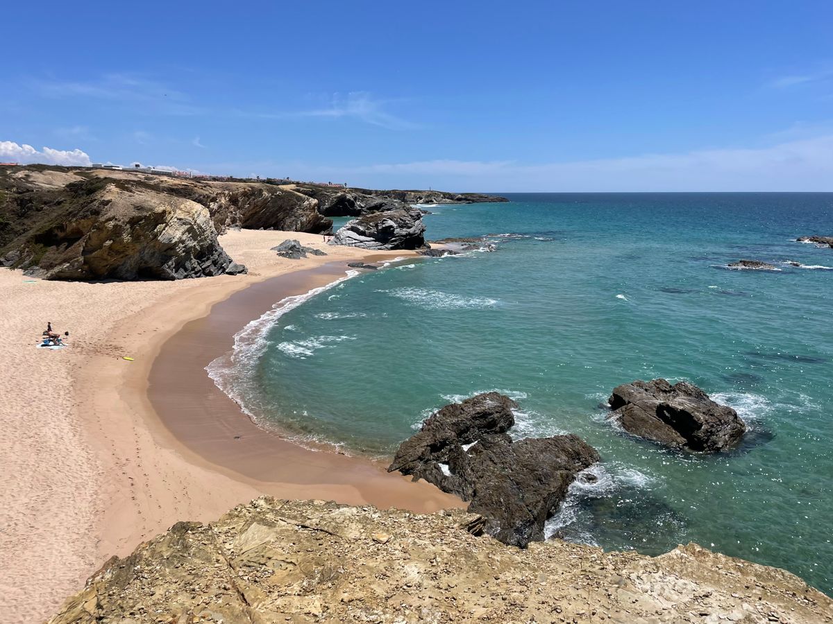
The coast faces west and south west, fully exposed to the Atlantic. That explains everything that follows: the big waves, the cold water, the wind, and the fact that very few beaches here suit a relaxed swim with children.
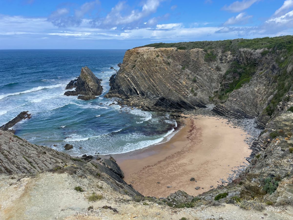
The beaches worth the drive
There are dozens, and most of them look good. What separates them is the access, the shelter from the wind, and whether there is anything to eat nearby.
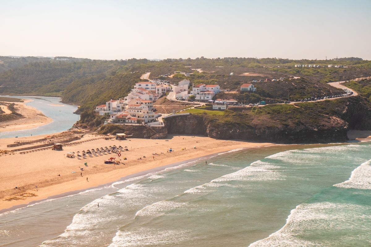
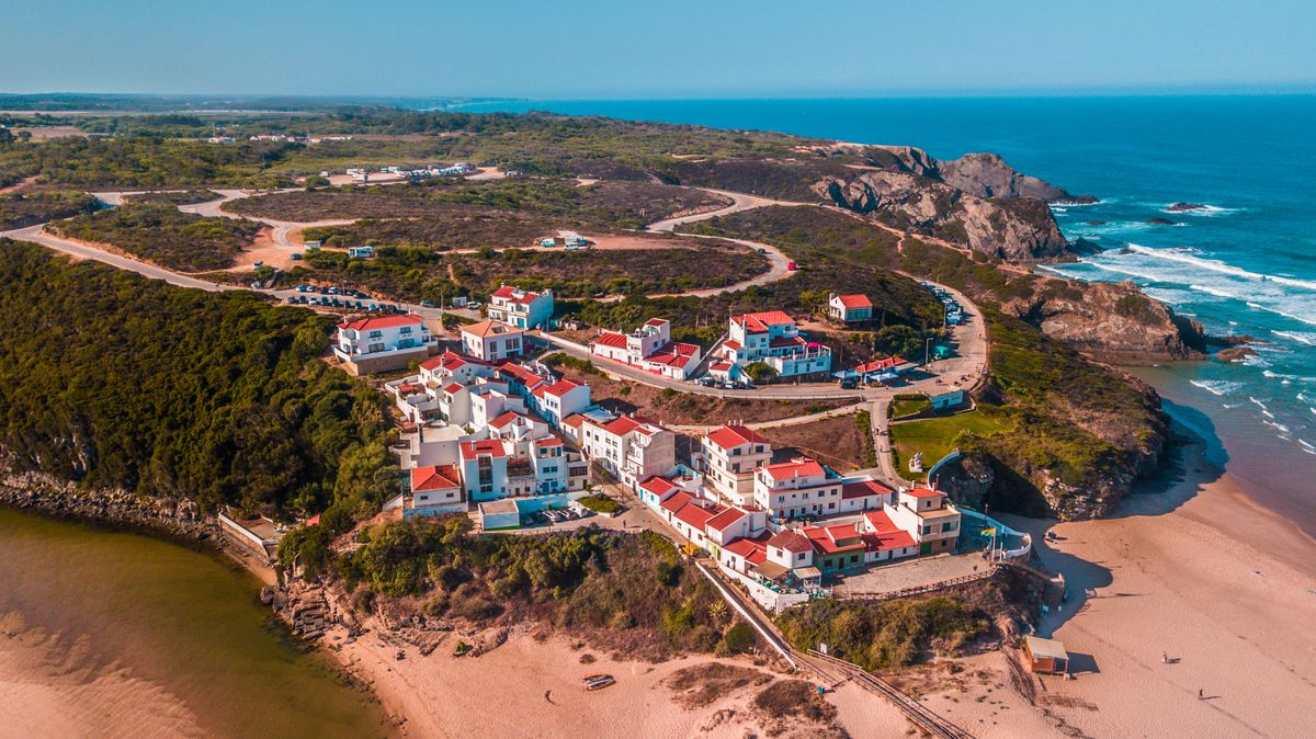
- Praia de Odeceixe: the most unusual on the coast. The Seixe river empties into the middle of it, so you get warm fresh water on one side and cold ocean on the other. The best option with small children.
- Praia da Amoreira: another estuary beach, less crowded than Odeceixe, with big dunes behind it.
- Praia da Arrifana: a half circle bay under a high cliff, with a small village above. A reference surf spot.
- Praia do Amado: broad and straight, the most used by surf schools.
- Praia da Bordeira: enormous, with a lagoon behind it that fills in winter. Almost empty even in August.
- Zambujeira do Mar: a village with a beach under the cliff and concrete steps, one of the few with any infrastructure.
- Praia do Carvalhal: in the north of the park, long and easy to reach, good for a long walk.
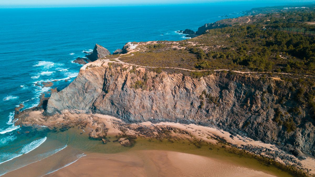
Nearly all of them follow the same pattern: a dirt car park, a path or a wooden stairway, sand, and nothing else. Bring water and food, because often there is nothing within ten kilometres.
Surfing: where, when and with what
This is one of the most consistent surf coasts in Europe, because it picks up Atlantic swell almost year round. That is also exactly why it is not a coast for casual swimming.
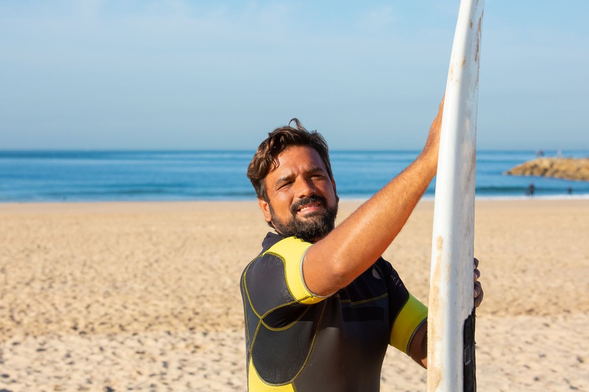
- Arrifana: a sheltered bay, good for beginners when the swell is small and difficult when it builds.
- Amado and Bordeira: the two most used by schools, with the wave breaking over sand.
- Carrapateira: the base village for surfers, with schools, board hire and cheap accommodation.
- Odeceixe: gentler waves, suitable for a first lesson.
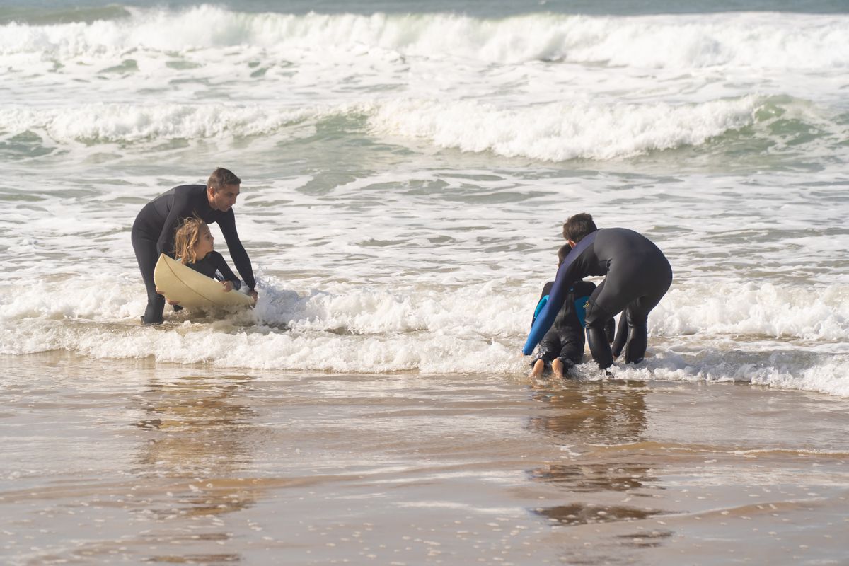
The ocean stays between sixteen and nineteen degrees all year, so a wetsuit is not optional even in August. Rip currents here are strong and real, and most beaches inside the park have no lifeguards outside the peak months. Do not go in alone, do not go in on an unflagged beach without experience, and ask at the local surf school what the conditions are that day. Every year brings accidents, generally to people who underestimated the current.
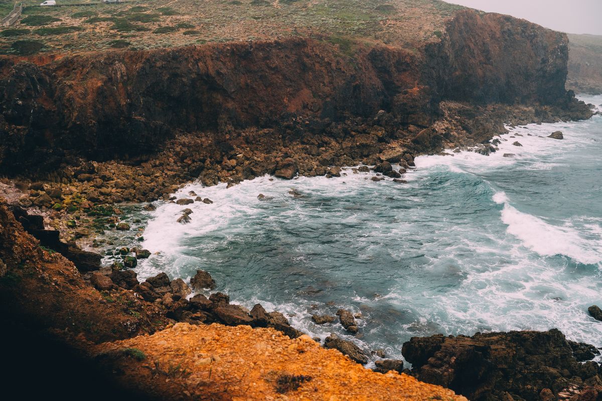
The Rota Vicentina, the trail that follows the cliff
The waymarked trail network in the region splits into two main routes with quite different characters. Together they run to over seven hundred kilometres once the shorter loops are counted in.
The Fishermen’s Trail hugs the cliff edge, on the paths used by the men who climb down after shellfish. It runs for roughly 230 kilometres in stages of 13 to 22 kilometres, and most of it is on sand, which means twice the effort of an ordinary path. There is no shade at all.
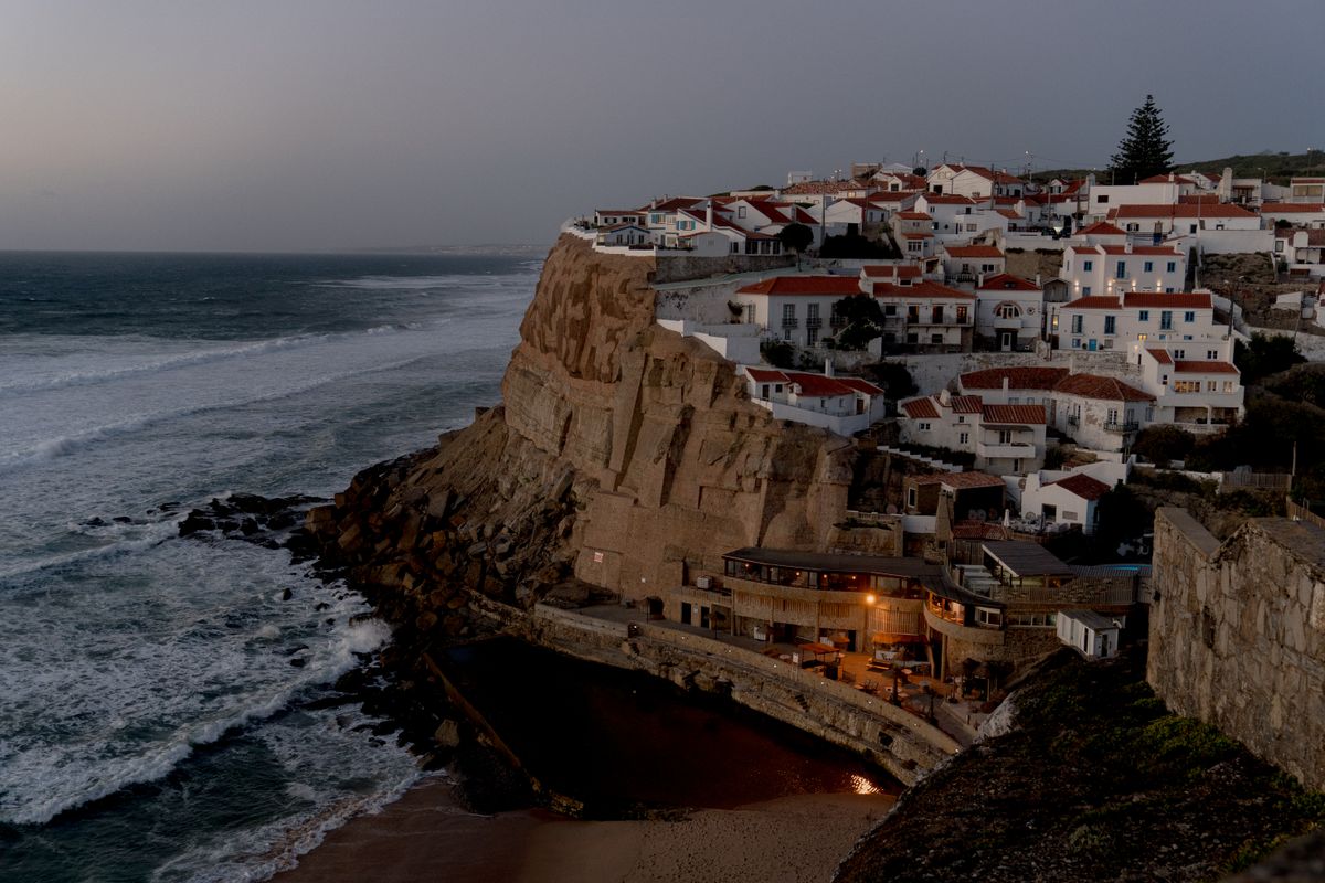
The Historical Way runs inland through villages, eucalyptus plantations and cork oak. It is easier, shadier and less spectacular, but it stays walkable on windy days, when the coast turns unpleasant.
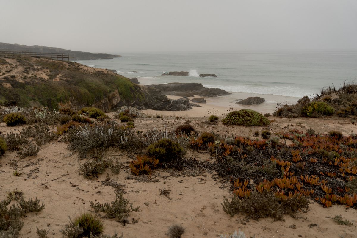
Both are properly waymarked and both have paid baggage transfer between stages, which changes the experience entirely. Many village guest houses work directly with the transfer companies.
Sagres and the south western corner of Europe
At the southern end of the coast, the headland at Sagres and Cape St Vincent mark the south westernmost point of mainland Europe. This is where the west coast meets the south coast, and the difference between them registers at once: wind and swell on one side, calmer water on the other.
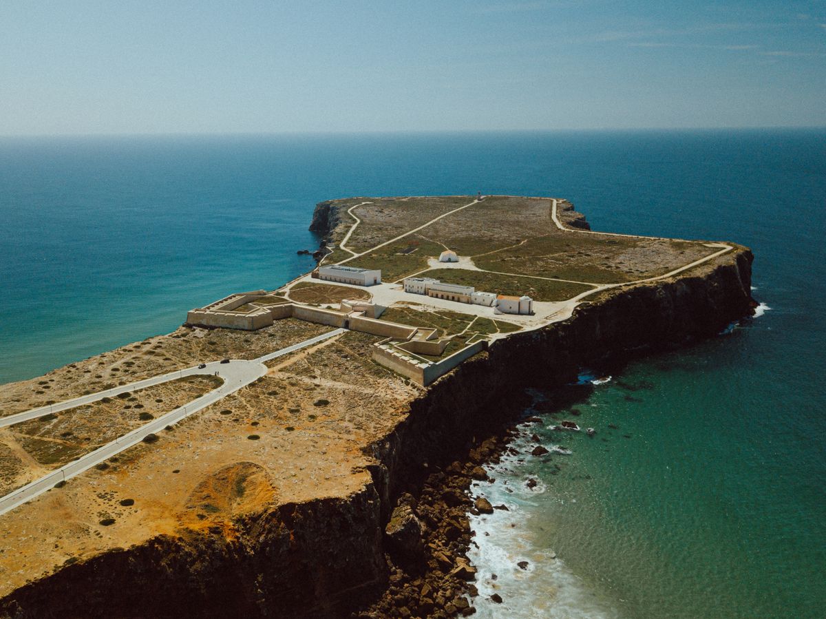
The fortress at Sagres occupies a flat, wind scoured headland with an enormous compass rose laid out on the ground. The legend of Henry the Navigator running a school of navigation here is largely a later construction, but the site genuinely was a strategic point for Atlantic voyages.
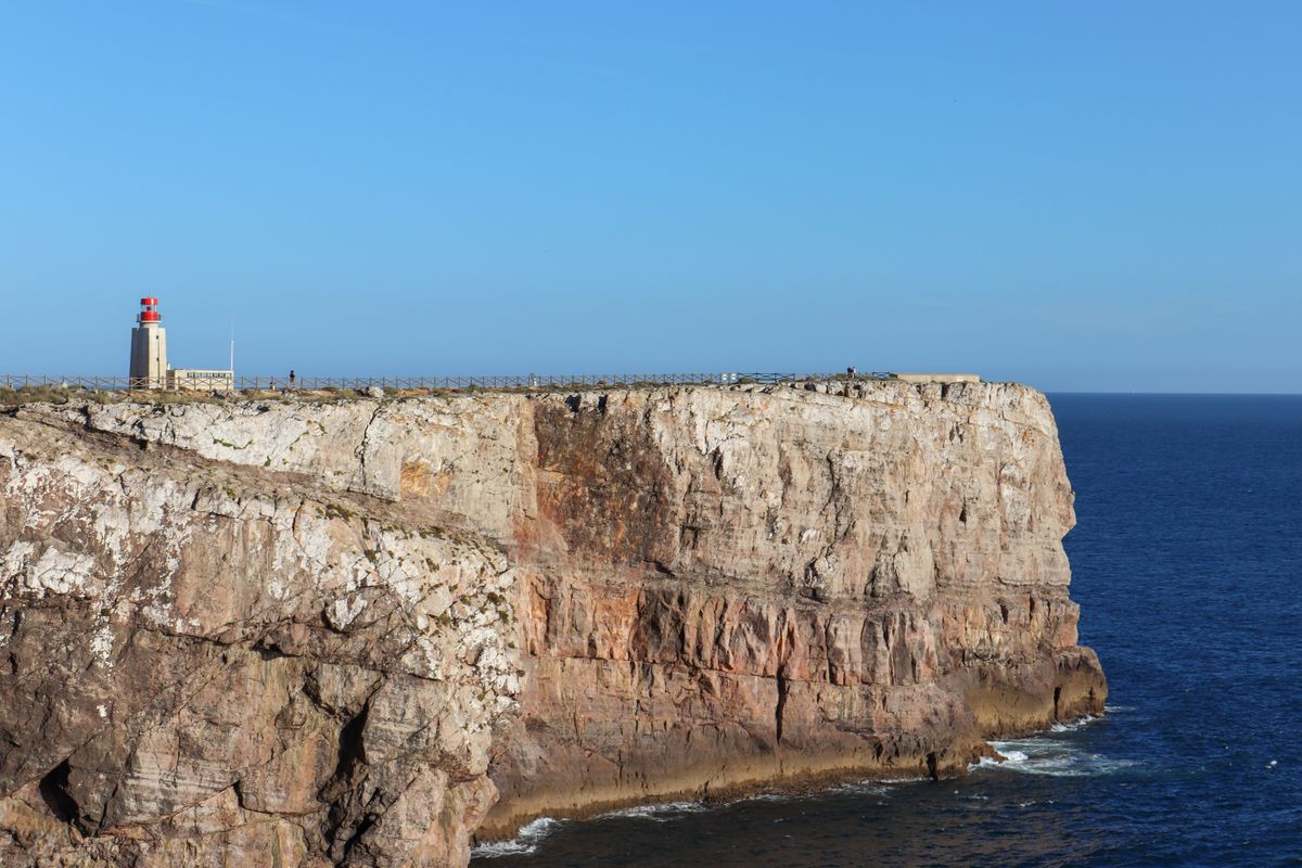
The lighthouse at Cape St Vincent is one of the most powerful in Europe. People gather at sunset, and by tradition grilled sausage is sold in the car park. It is the only place in the whole park where you will find reliable crowds.
What there is to see beyond the beaches
The coast is an important migration corridor, and spring and autumn bring birds in numbers. There is one detail here, though, that occurs nowhere else on earth: white storks nest directly on sea stacks off this coast, rather than on chimneys or poles. The best place to see it is around Cabo Sardão during the nesting season.
The second unusual thing is the harvesting of percebes, the goose barnacles that grow clamped to rock in the wave zone. They are collected by hand, on ropes down the cliff, between waves. It is one of the most dangerous jobs in Portugal, and the restaurant price reflects exactly that.
The dune vegetation is fragile and protected. The wooden boardwalks are not there for your comfort but because footsteps across the sand binding plants destroy a dune within a few years.
Getting there, when to go and where to stay
| Item | Detail |
|---|---|
| From Lisbon | about 2 hours to Vila Nova de Milfontes |
| From Faro | about 1 hour 30 to Aljezur |
| Good bases | Vila Nova de Milfontes, Aljezur, Carrapateira, Zambujeira |
| Days needed | four minimum, a week ideally |
| Best months | April to June and September to October |
| Avoid | July and August, because of the afternoon wind |
| Public transport | infrequent coaches, a car is effectively essential |
The wind deserves a separate explanation. In summer a northerly known locally as the nortada gets up almost daily around midday and blows hard until evening. It is not a breeze, it is a wind that lifts the sand and ruins your afternoon on the beach. That is why locals prefer May, June and September, when the sea is just as good and the air is still.
Accommodation is in small guest houses, holiday cottages and a few eco campsites. There are no large hotels, and in July and August everything books months ahead. Trail details are published by the association that maintains the Rota Vicentina, and the park boundaries and rules by the Portuguese nature conservation institute.
Frequently asked questions (FAQ)
Conclusion
Costa Vicentina is proof that good protective legislation works: roughly 110 kilometres of Atlantic coast left almost unbuilt, in a southern Europe where that hardly exists any more.
Come in May, June or September to miss the afternoon wind, bring a car, carry water and food to the beach, and treat the ocean with respect, because it does not forgive.
