

 By
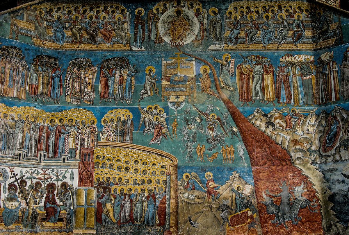
Via Transilvanica is the most ambitious tourist trail ever built in Romania: 1,400 kilometers from Putna monastery, in Bucovina, to Drobeta-Turnu Severin, on the Danube, marked with one thousand four hundred carved andesite waymarks, one for every kilometer. It was built over eight years, almost entirely by volunteers, and opened in October 2022.
This is the practical guide: what the trail is and how it came to be, the seven regions it crosses, how to walk it in sections if you do not have two free months, how accommodation and waymarking work, what it costs and when to go.
Via Transilvanica: what it is and how it began
The idea came from a small association in Bistrita-Nasaud county, which proposed a continuous route linking the most diverse cultural regions of the country, modeled on the great European pilgrimage roads.
| Element | Value |
|---|---|
| Length | about 1,400 km |
| End points | Putna, in Suceava county, and Drobeta-Turnu Severin |
| Counties crossed | 10 |
| Andesite waymarks | one per kilometer, each carved individually |
| Thru-hike duration | 60 to 70 walking days |
| Opened | October 2022 |
| Construction | about 8 years, largely volunteer work |
What sets it apart from every other European trail is the waymarking: instead of paint on trees, one thousand four hundred andesite stones, each carved with the letter T and the kilometer number, placed by hand.
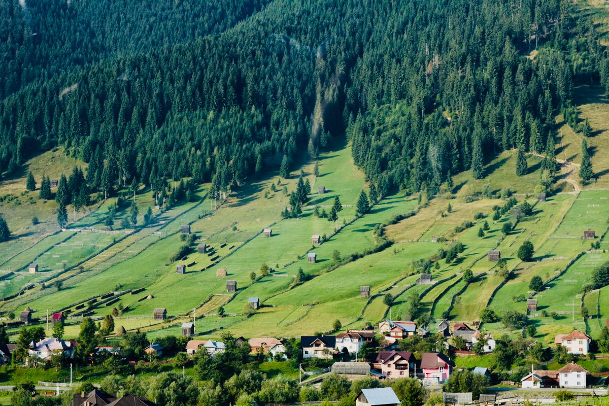
Many of them carry additional carvings commissioned by the people and organizations who supported the project, which makes almost every stone one of a kind.
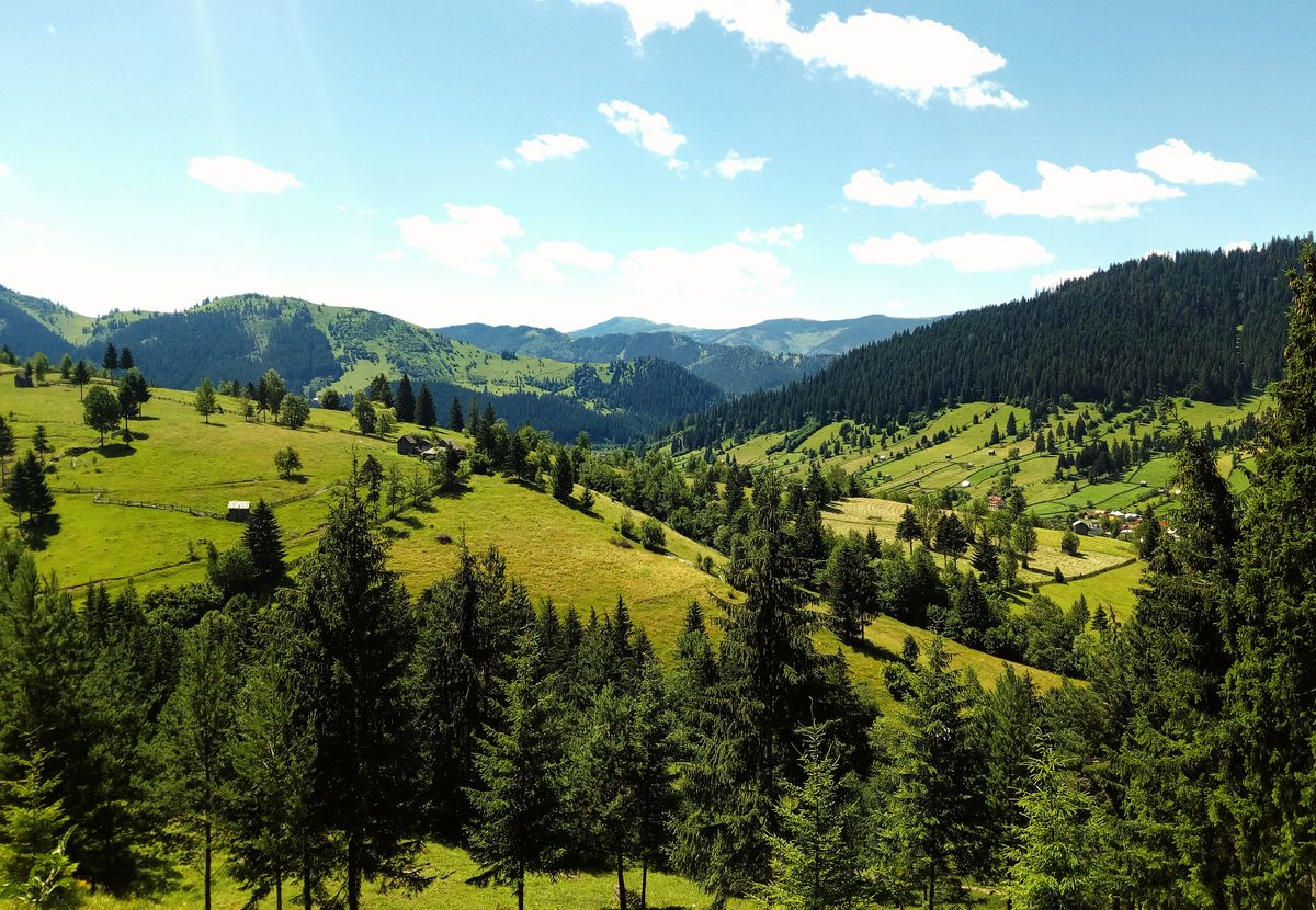
The route does not follow the mountain ridges. It follows the villages. That is a difference of philosophy: this is not a mountain trail but a cultural one, deliberately passing through communities rather than around them.
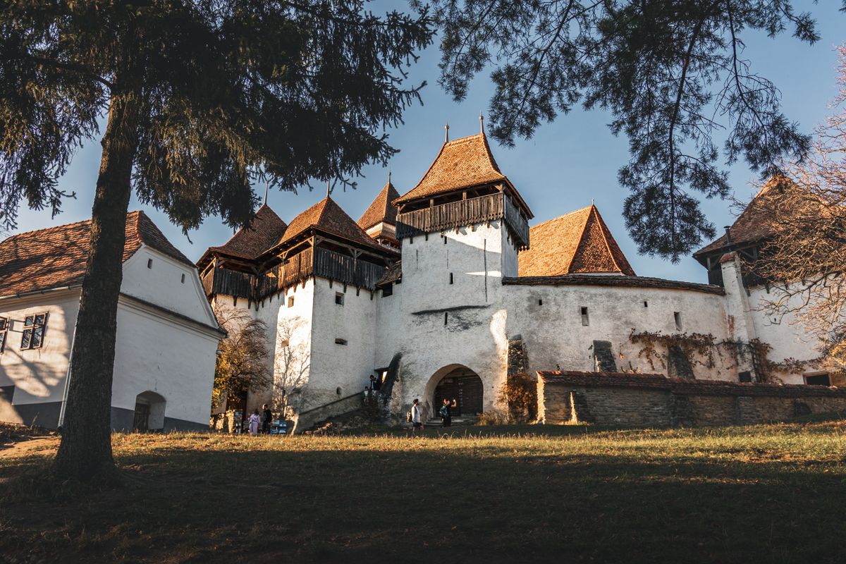
The seven regions
The official division is into seven sections, each with a completely different character. That is, in fact, the main argument for the trail: in two months of walking you pass through seven different worlds.
| Region | What you see | Approximate length |
|---|---|---|
| Bucovina | painted monasteries, mountain villages | 100 km |
| Highlands (Tinutul de Sus) | hills, forests, remote villages | 150 km |
| Terra Siculorum | Szekler villages, distinctive architecture | 200 km |
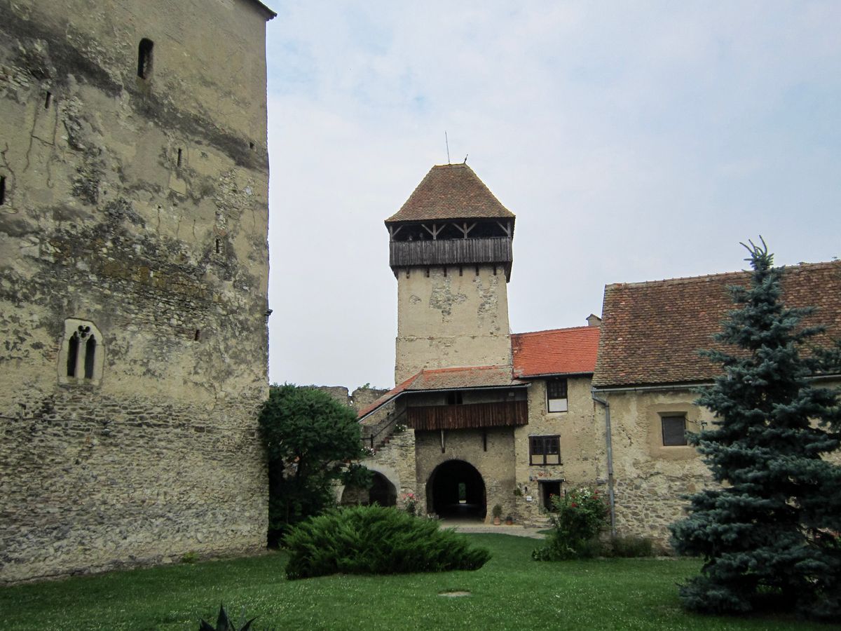
| Terra Saxonum | Saxon fortified churches, rolling hills | 250 km |
| Terra Vinum | vineyards and hills around Alba | 150 km |
| Terra Furdului | the Apuseni mountains, moti villages | 250 km |
| Terra Banatica | the Banat highlands, down to the Danube | 300 km |
Bucovina opens the trail with its painted monasteries, several of them UNESCO World Heritage sites, whose sixteenth-century exterior frescoes are unique in Europe.
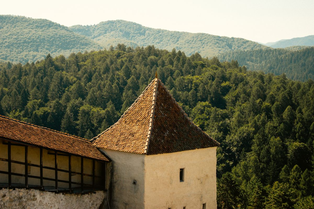
Terra Saxonum is, for many walkers, the most spectacular part: Saxon villages with fortified churches, hills covered in hay meadows, and a landscape that has survived unchanged for centuries.
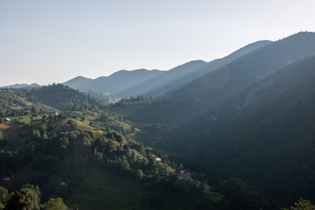
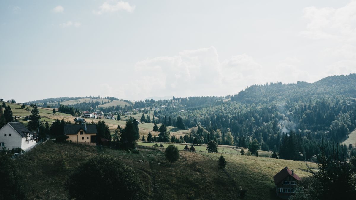
The rolling country of central Transylvania holds some of the most species-rich grasslands in Europe, an ecosystem maintained by hand mowing and traditional grazing.
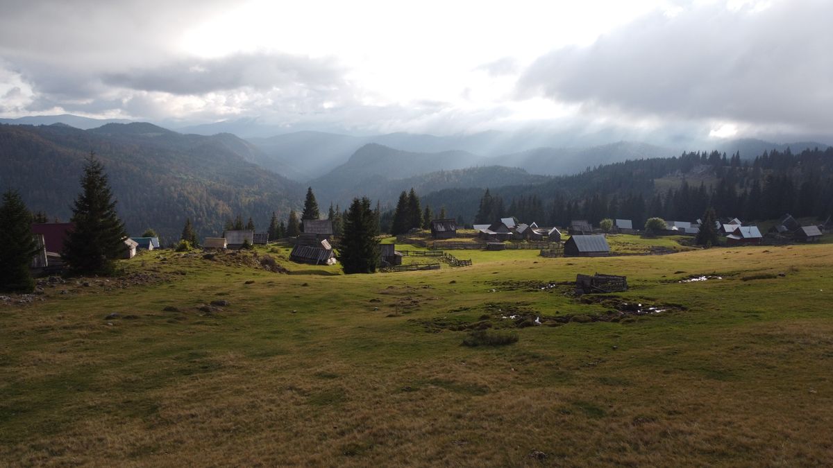
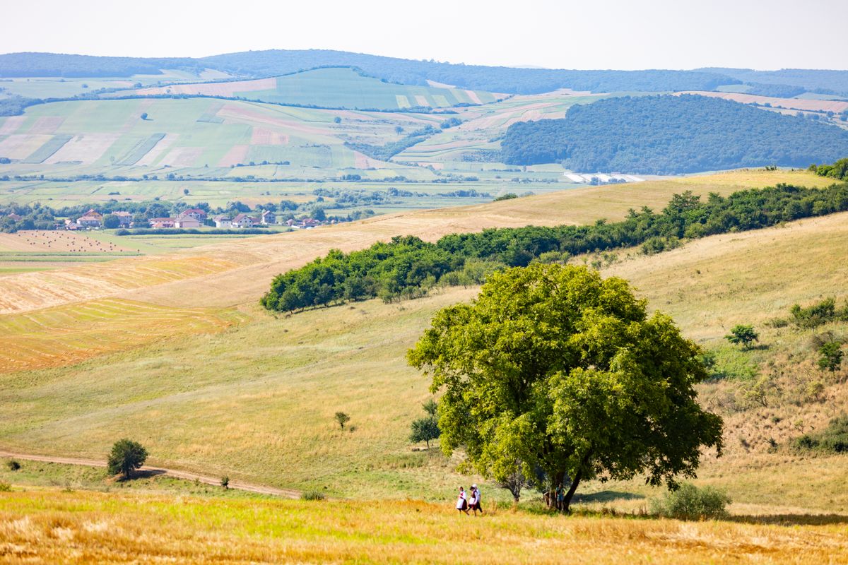
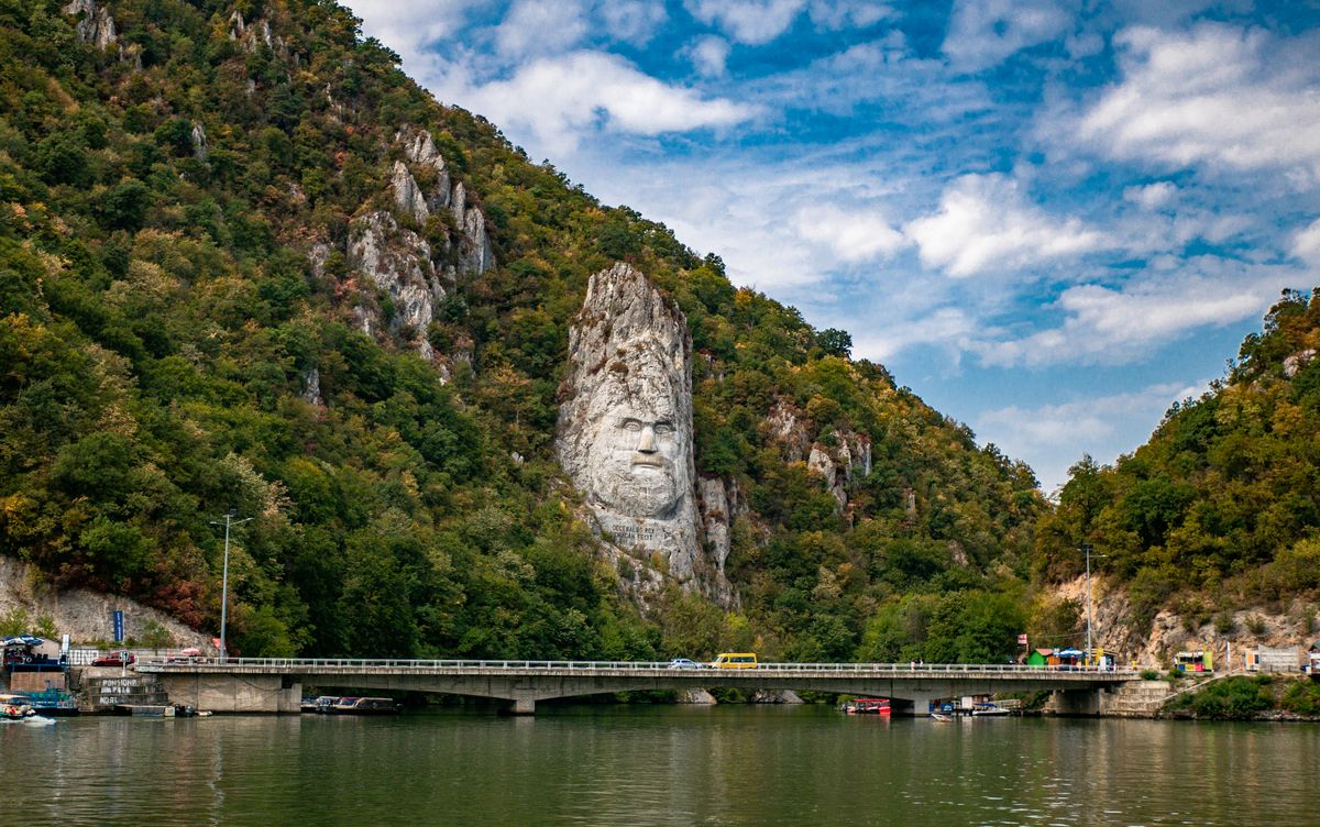
The Apuseni mountains bring the only truly mountainous stretch, and the Banat descends gradually toward the Danube, ending near the Iron Gates gorge.
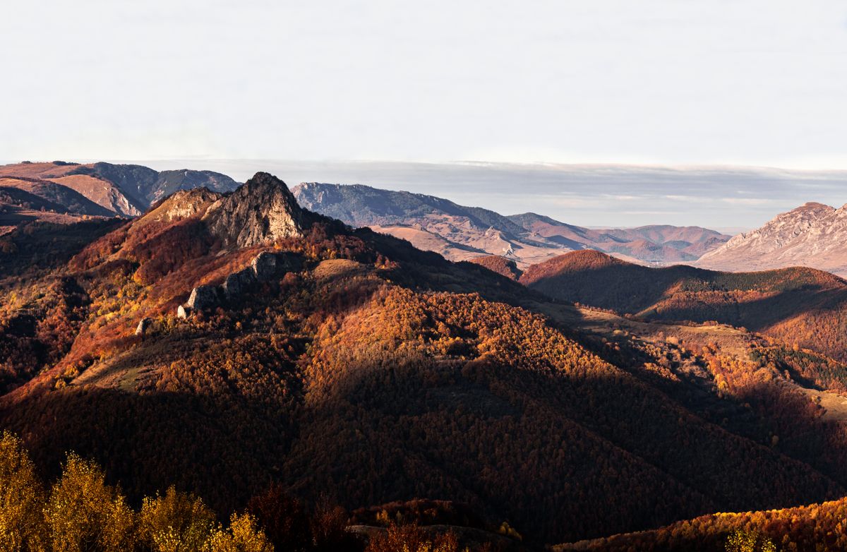
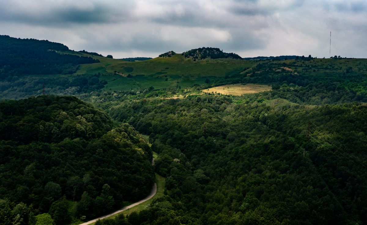
How to walk it without two free months
Very few people walk the whole thing. The normal way to use the trail is in sections, and it was designed exactly for that.
| Format | Duration | Who it suits |
|---|---|---|
| A weekend | 2 days, 30 – 50 km | a first taste |
| One week | 6 – 7 days, 120 – 160 km | the most common format |
| A full section | 10 – 20 days | one whole cultural region |
| The thru-hike | 60 – 70 days | very few, usually done in stages |
| By bike | variable | some stretches are rideable |
The average daily stage is twenty to twenty-five kilometers on generally gentle terrain. This is not a technical trail: elevation changes are moderate, and most of the walking is on country roads and wide paths.
For a first contact, the usual recommendation is Terra Saxonum around Sighisoara, Biertan and Viscri: it has the densest network of guesthouses, the most spectacular villages and easy access by train.
Start from what you want to see, not from the mileage. For Saxon villages and fortified churches, choose the stretch between Sighisoara and Alba Iulia. For painted monasteries and mountain scenery, the Bucovina start. For wilderness and remote villages, the Apuseni. For the Danube and the gorge, the Banat finale. Then check public transport at both ends of your chosen section, because that decides whether you need a car and who brings you back.
Accommodation, waymarks and costs
The infrastructure has grown quickly since the opening and is, today, much better than most people expect.
| Type | Price per person | Notes |
|---|---|---|
| Guesthouses | 100 – 250 lei, about 20 – 50 euros | the most common option, in villages |
| Homestays with locals | 60 – 150 lei, about 12 – 30 euros | in small villages, arranged by phone |
| Camping | free or symbolic | with the landowner’s permission |
| Mountain huts | variable | in the mountain stretches |
The practical rule: in season, book the small-village guesthouses a few days ahead, by phone. Many of them do not appear on the usual booking platforms, and English is not guaranteed, so a Romanian-speaking host or a translation app helps.
The waymarking is generally excellent: the andesite stones at every kilometer, plus painted signs between them. The official app and the downloadable GPS tracks are still mandatory, as on any long trail.
| Item | Cost |
|---|---|
| Accommodation, 6 nights | 600 – 1,200 lei, about 120 – 240 euros |
| Food | 400 – 700 lei, about 80 – 140 euros |
| Transport to the trail and back | 150 – 400 lei, about 30 – 80 euros |
| Total | 1,150 – 2,300 lei, about 230 – 460 euros |
As an order of magnitude, that is half the cost of an equivalent week on a Western European trail, and the difference shows mostly in accommodation and food.
| Period | What you find |
|---|---|
| April – June | the best window: green hills, flowers, mild temperatures |
| July – August | very hot on the lowland and hill sections |
| September – October | excellent: autumn colors, clear air, good light |
| November – March | possible, but mud, short days and closed guesthouses |
May and September are the optimal months. On the Transylvanian hills, July and August can be very hot with little shade, and in winter many village guesthouses close.
Official information, maps and GPS tracks are on the official Via Transilvanica website, and general information about the regions on Romania’s national tourism portal.
A note about the photographs
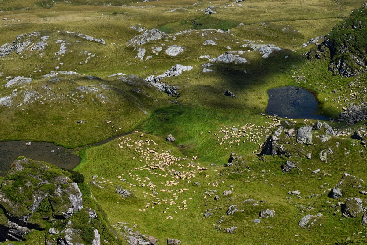
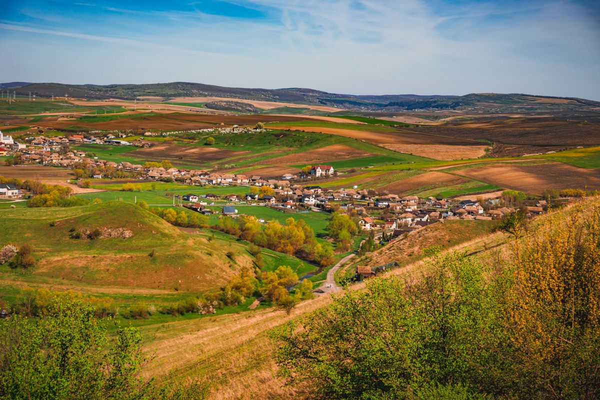
Every image in this article has its county verified at the source, and together they cover the trail end to end: the Voronet fresco, the Bucovina hills and the Vatra Dornei area, the fortified churches of Biertan and Calnic, Rasnov fortress, the hills at Magura, villages in Bistrita-Nasaud and Alba, the hay meadows of Craciunesti, the sheep of Saliste, the Apuseni, Cheile Turzii, the Banat highlands and the rock face of Decebalus at Dubova.
A few essential subjects are missing entirely, and it is worth saying so. The orange andesite waymarks with the letter T, the visual signature of the trail, do not exist in any free photo archive. Viscri has seven good photographs, but all in portrait format, and the same is true of Biertan as a village, of traditional wooden houses and of Romanian horse carts. Putna and Drobeta-Turnu Severin, the two ends of the road, have no usable photographs at all: searches for the latter return almost exclusively Turkey. Every horizontal horse-cart photo we found was rejected, because they were shot in Bangladesh, Brazil or Switzerland.
Frequently asked questions (FAQ)
Conclusion
Via Transilvanica is the best argument that a trail does not need mountain ridges to be memorable: its value lies in the villages it passes through, and in the fact that two months of walking take you through seven different cultural worlds without leaving one country.
Do not attempt the whole road. Pick a one-week section, go in May or September, book your beds by phone a few days ahead and walk at the pace of the villages, not of the kilometers.
