
 By

A hundred and eighty kilometres around a peninsula in the south west of Ireland, past lakes, mountains, an Atlantic coast and two rock islands with a monastery on one of them. The Ring of Kerry can be driven in a day, and there is one rule about direction that makes the difference.
Which way round to drive and why, the stops that are worth the time, and how to fit the Gap of Dunloe in.
What the Ring of Kerry is
A circular road, the N70 and N71, around the Iveragh peninsula in County Kerry. Most people start and finish in Killarney, and the loop is about 180 kilometres, which is three and a half hours of driving without stopping.
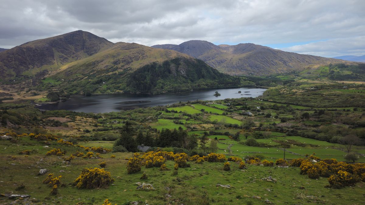
With stops it is a full day, and it is better as two if you want the Skelligs or the Gap of Dunloe as well.
Which direction to drive
Tour coaches drive the loop anticlockwise, by agreement, because the road is narrow and two coaches cannot pass in places. If you drive clockwise you will meet all of them head on, all day.
Either follow the coaches anticlockwise, which means Killorglin first and Kenmare last, or set off before eight in the morning and stay ahead of them the whole way. Both work. Driving clockwise at ten in the morning does not.
Killarney National Park and Muckross House
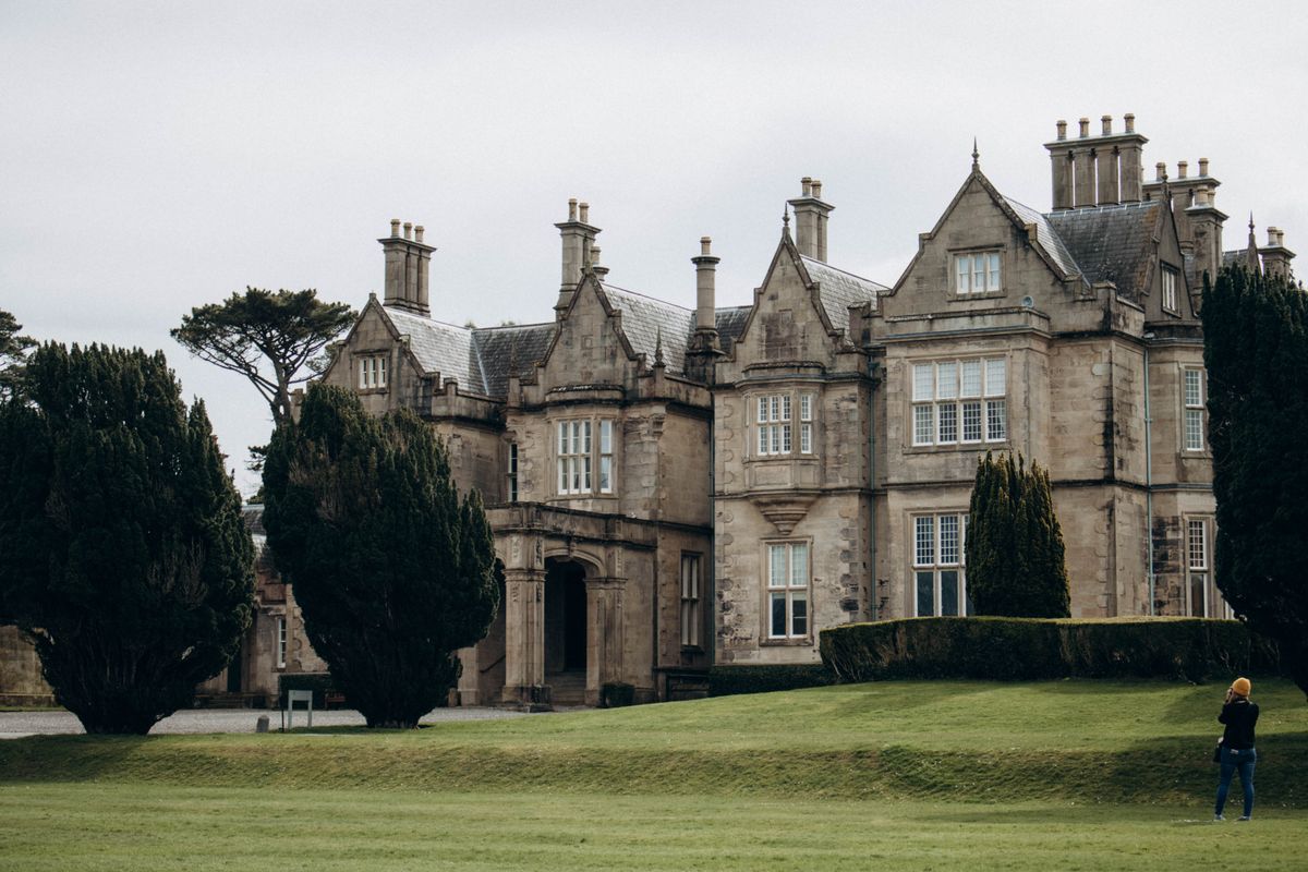
The first national park in Ireland, established in 1932 around three lakes and the mountains behind them. It holds the only remaining native red deer herd in the country and some of the last oak woodland.
Muckross House is a Victorian mansion in the middle of it, with gardens and a working traditional farm attached. Torc Waterfall is a five minute walk from the road and worth the stop.
Ladies View and Moll Gap
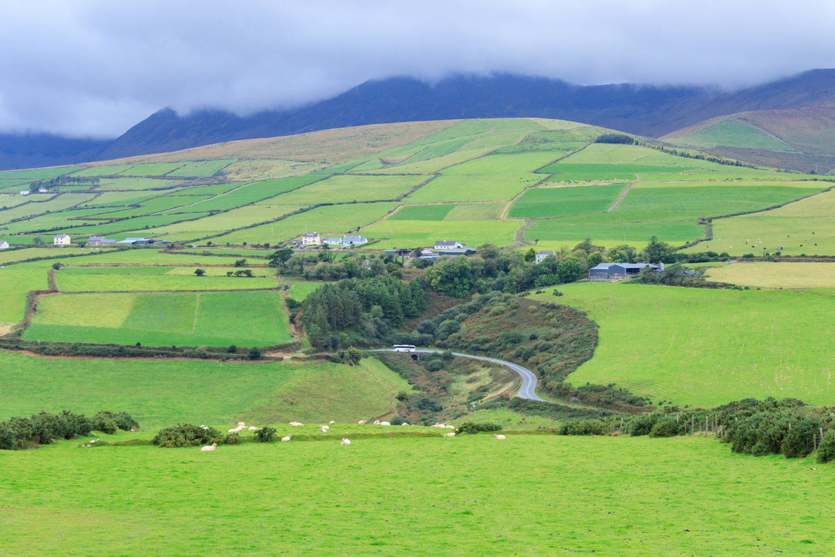
Ladies View looks back down over the three lakes of Killarney and is named after Queen Victoria ladies in waiting, who admired it in 1861. Moll Gap a little further on is the other classic stop, with a craft shop that has been there for decades.
Both are on the N71 between Killarney and Kenmare, which is the most scenic stretch of the whole loop and the part most worth driving slowly.
Sneem and Kenmare
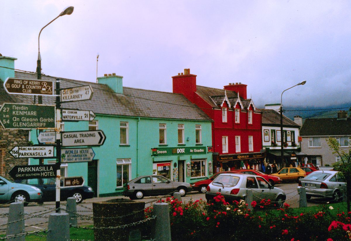
Sneem is two small squares of houses painted in strong colours, which is genuinely as advertised and takes twenty minutes. Kenmare is the larger and more prosperous of the two, with good restaurants and a stone circle at the edge of the village.
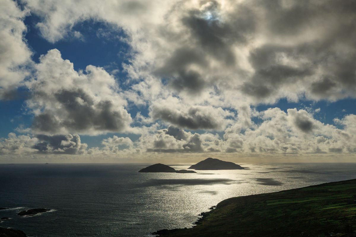
Kenmare makes a better overnight base than Killarney if you want somewhere quieter, and it sits at the point where the Ring of Kerry meets the Beara peninsula.
The coast and the Skellig islands
The western end of the peninsula is the wildest part: Waterville, Ballinskelligs, and Portmagee where the boats leave. Offshore stand the Skelligs, two rock pinnacles with a sixth century monastic settlement of beehive huts on the larger one.
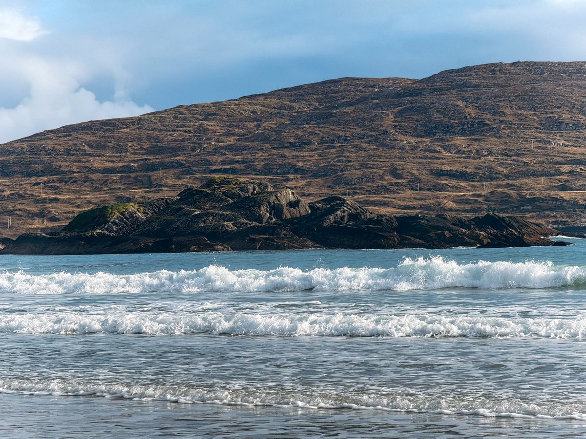
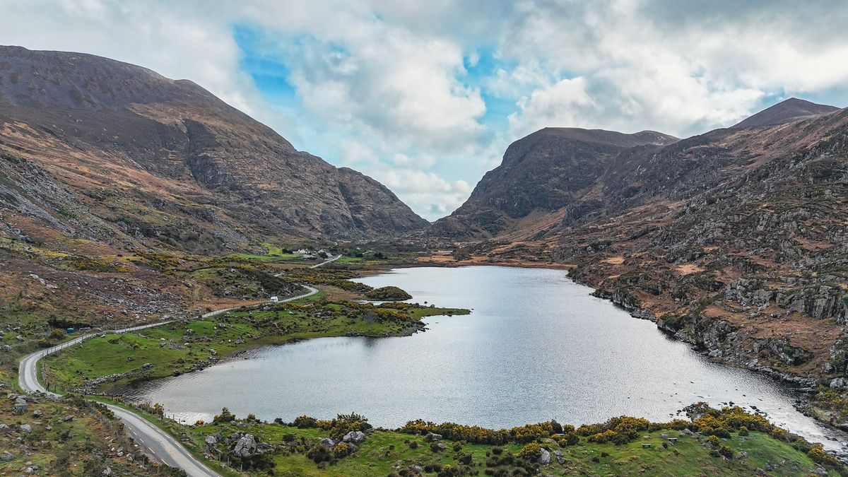
Landing on Skellig Michael is strictly limited: a small number of permits a day, boats only from May to September, and cancellations for weather are frequent. Book months ahead. The Star Wars films used it, which has not helped availability.
The Gap of Dunloe
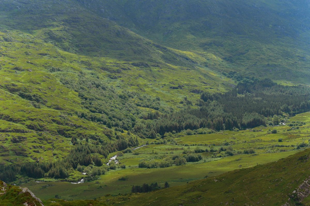
A narrow glacial pass between the MacGillycuddy Reeks and the Purple Mountain, with a chain of small lakes along the floor of it. The road through is single track, and coaches are not allowed.
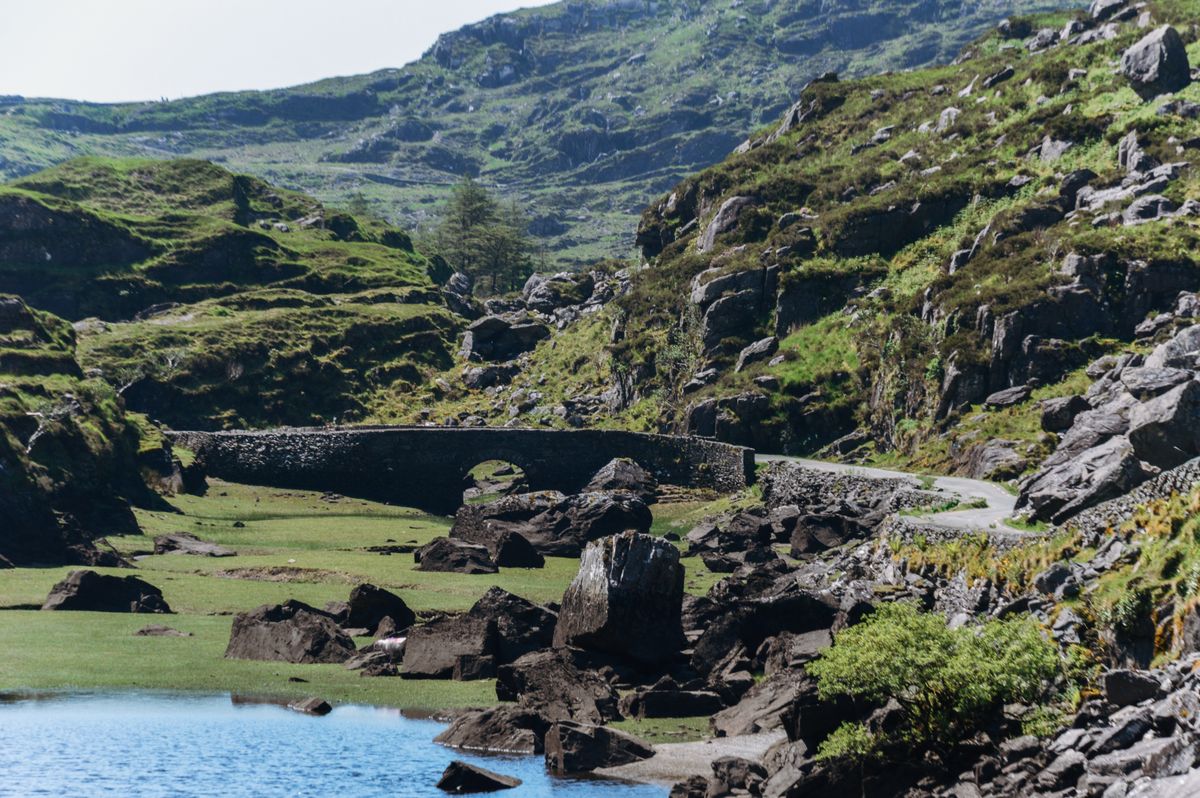
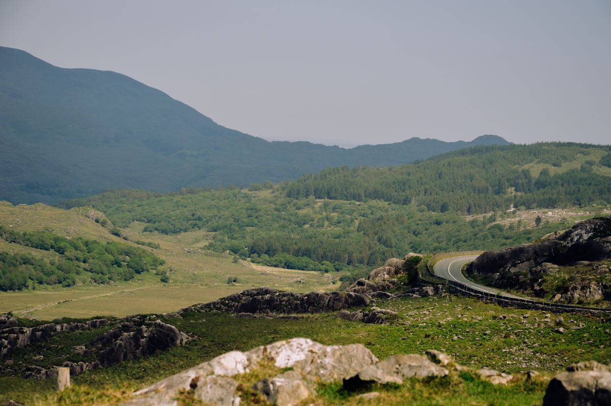
The traditional way through is by pony and trap from Kate Kearney Cottage, then a boat back across the lakes to Ross Castle, which takes most of a day and is the best half day in Kerry. Walking it is free and takes about three hours.
Practical advice
| Item | Detail |
|---|---|
| Length | about 180 km, 3.5 hours without stops |
| Direction | anticlockwise, or start before eight |
| Base | Killarney for facilities, Kenmare for quiet |
| Skellig Michael | permits limited, book months ahead |
| Gap of Dunloe | pony and trap plus boat, or walk it free |
| Best months | May, June and September |
The roads are narrow with stone walls and no verges in places, and Irish drivers will expect you to pull in. Do it fully rather than half. Park information is on Wikipedia and route information at the Irish tourism site.
Frequently asked questions (FAQ)
Conclusion
Lakes, mountains, an Atlantic coast and a monastery on a rock, all on one loop that fits into a day if you get the direction right.
Drive it anticlockwise or leave before eight, take the N71 between Killarney and Kenmare slowly, and give the Gap of Dunloe its own half day.
