
 By

Bohemian Switzerland is a national park in northern Czechia, on the German border, made up of sandstone eroded into towers, walls and stone labyrinths. It holds the largest natural sandstone arch in Europe, gorges crossed in a punt pushed along with a pole, and a practical detail nobody anticipates: part of the trail network was affected by the largest wildfire in the modern history of the country.
What you see at the arch, how the punt gorges work, what changed after the fire, what lies on the German side and how to get there.
What Bohemian Switzerland is and where the name comes from
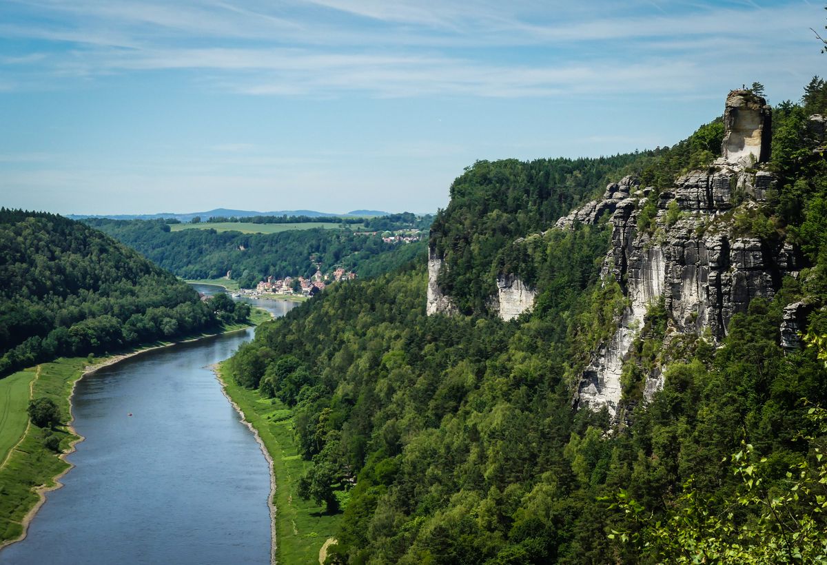
The park covers about seventy nine square kilometres and was established in the year 2000. It is the Czech half of a sandstone massif that continues across the border into Germany, where it is called Saxon Switzerland. Together they form one of the most spectacular sandstone areas in Europe.
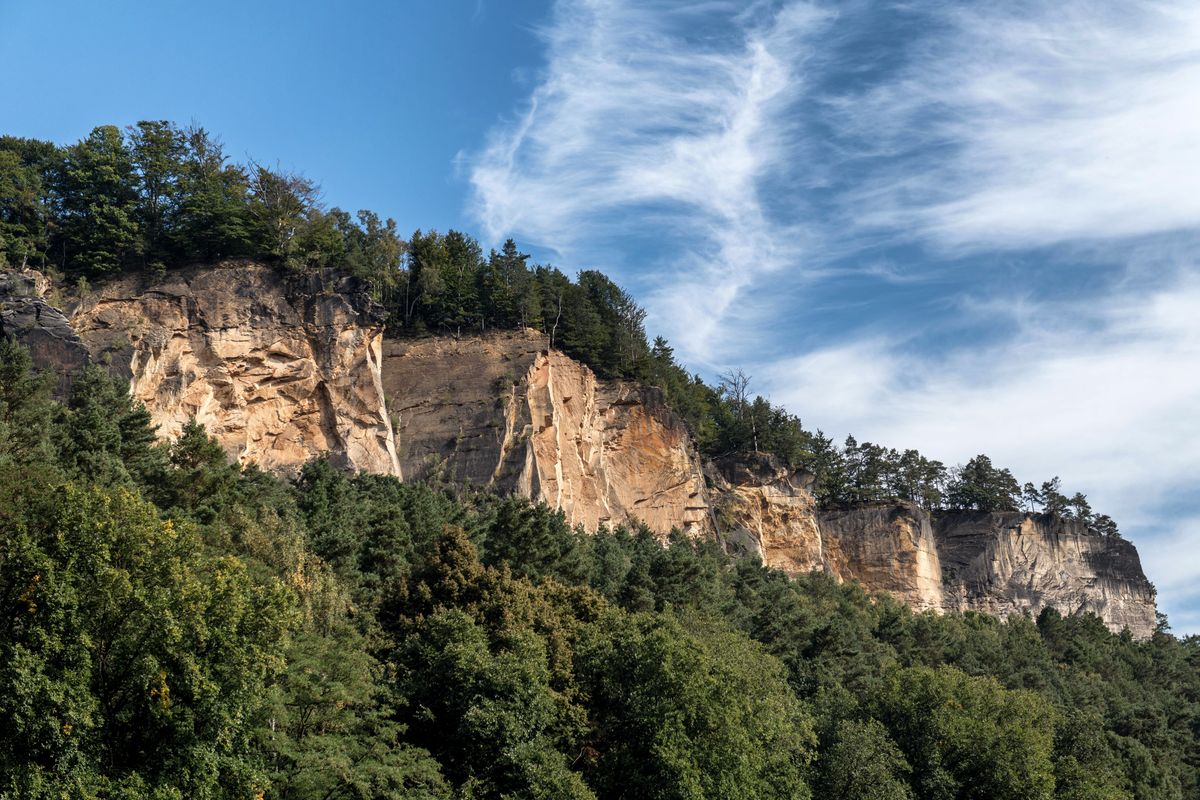
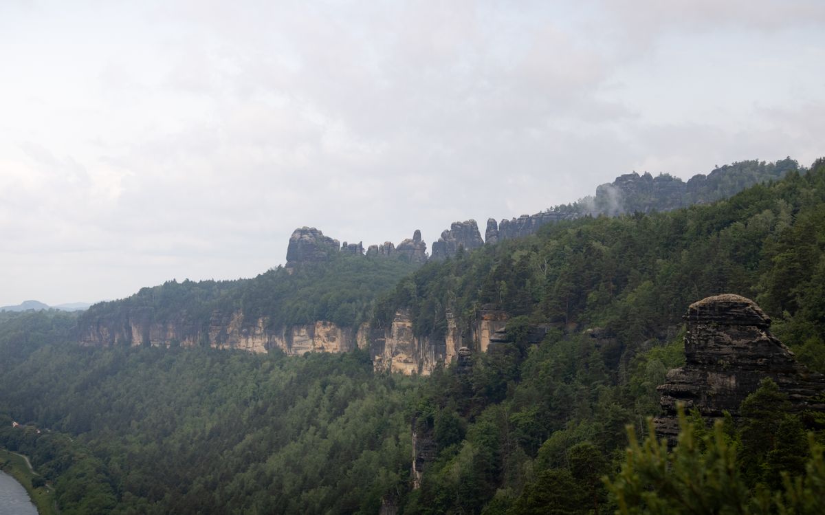
The name has an amusing and verifiable origin. In the eighteenth century two Swiss artists working at the Dresden academy travelled through the region and said it reminded them of home. The label stuck, even though there is not a single alpine mountain here.
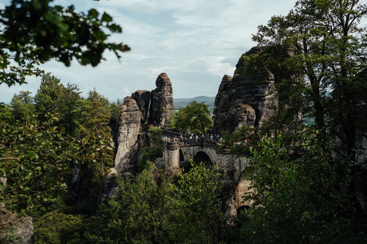
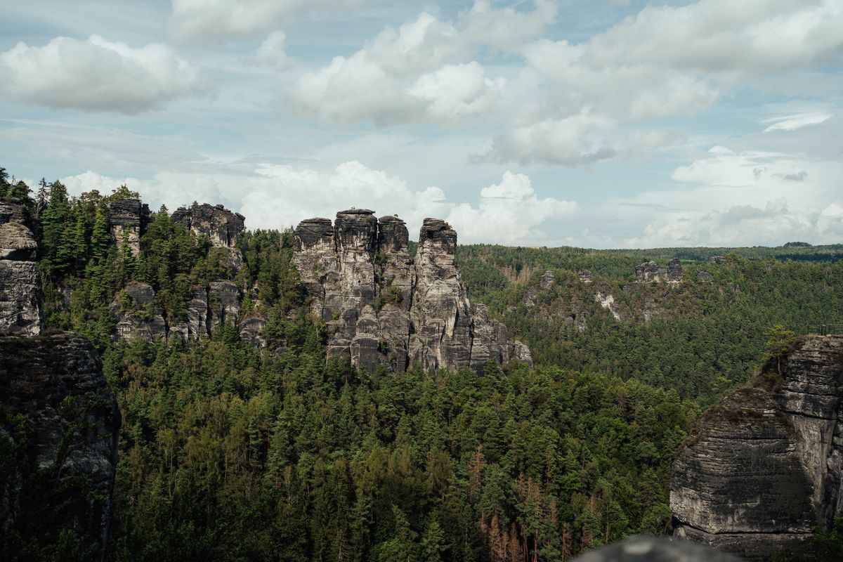
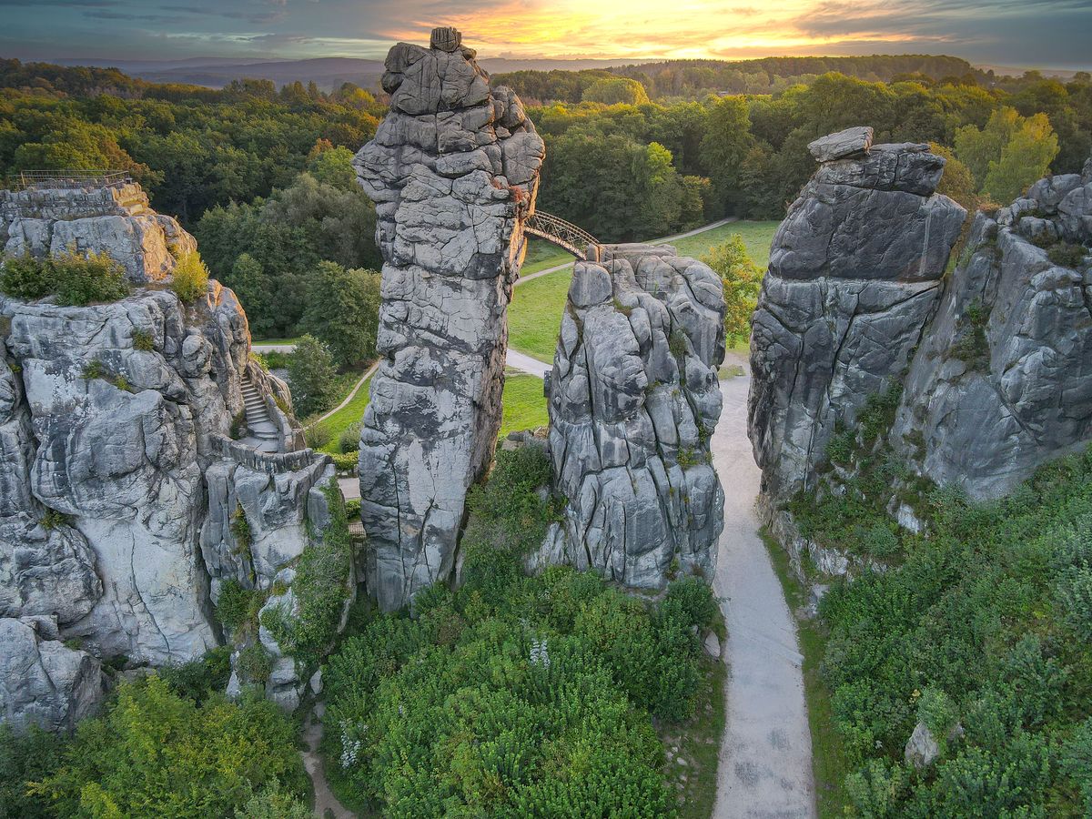
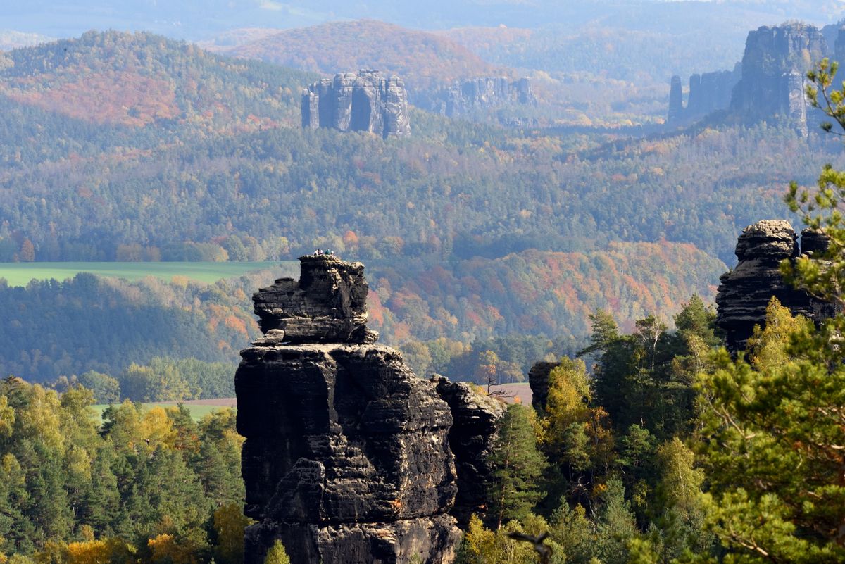
The rock is sandstone laid down on the floor of a Cretaceous sea, later lifted and cut by water and frost. The result is isolated towers, vertical walls split by fissures and very narrow gorges, with forest growing directly between the blocks.
Pravčická brána, the largest sandstone arch in Europe
It is the symbol of the park and the reason most visitors come. The span of the arch measures about twenty six and a half metres, and the clear height beneath it passes sixteen metres.
The important detail: you can no longer walk on the arch. Access on top was closed permanently in 1982, because the passage of tens of thousands of people had eroded the stone. You look at it from the platforms laid out around it, which give the good angles anyway.
Beside the arch stands Sokolí hnízdo, the Falcon Nest, a nineteenth century building raised as a hunting residence and turned into a restaurant. Access to the platforms runs through it and a ticket is charged.
The climb usually starts from the village of Hřensko, on a trail of about an hour, or from Mezná, which is shorter. There is no road to the top and no cable car. The height gain is a few hundred metres, on a well made but continuously climbing path. In summer and at weekends the queue at the ticket office and on the platforms can pass half an hour, so set off early. Parking at Hřensko is limited and expensive.
The Kamenice gorges and the punt
The Kamenice river has cut two gorges into the sandstone so narrow that there is no bank to pass along. The solution, over a century old, is to get into a flat boat that a boatman pushes with a pole, between vertical walls.
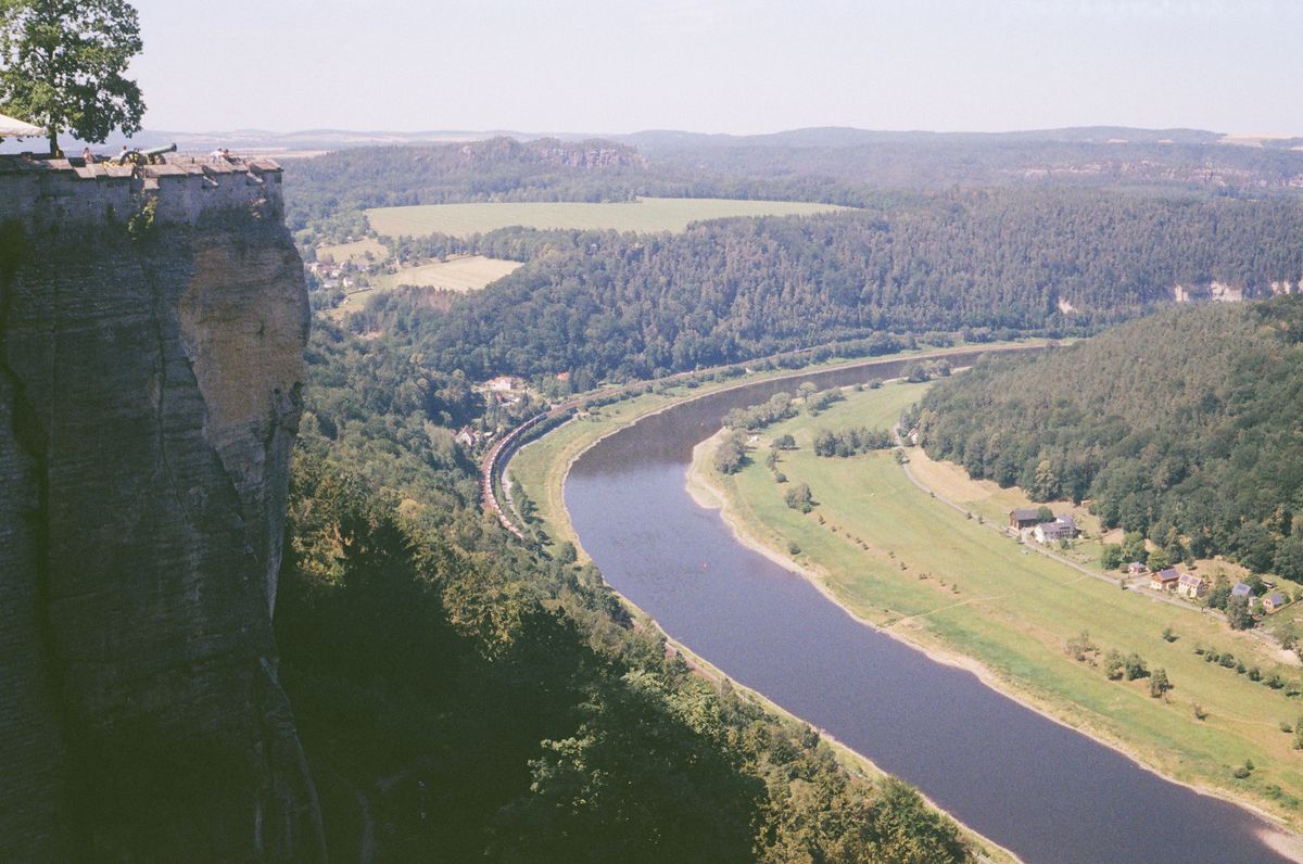
There are two sections, the Edmund Gorge and the Wild Gorge, each covered separately with its own ticket. Each crossing lasts around a quarter of an hour, and between them you walk on paths and boardwalks.
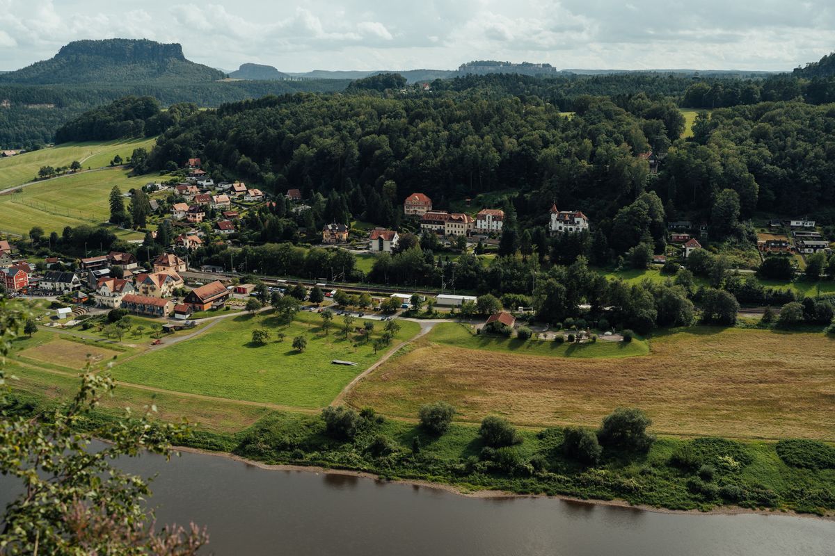
The season is limited, generally April to October depending on water levels. After heavy rain or at high flow the boats are suspended. There is no online booking, you queue at the landing stage, and on summer weekends that can mean an hour.
What changed after the fire of 2022
In July and August 2022 the park was hit by the largest wildfire in the modern history of the Czech Republic. Around a thousand hectares burned, a significant share of the park area, and putting it out took weeks with international assistance.
The sandstone terrain complicated everything: the fire dropped into the fissures in the rock and smouldered there, and access for crews was nearly impossible on vertical walls.
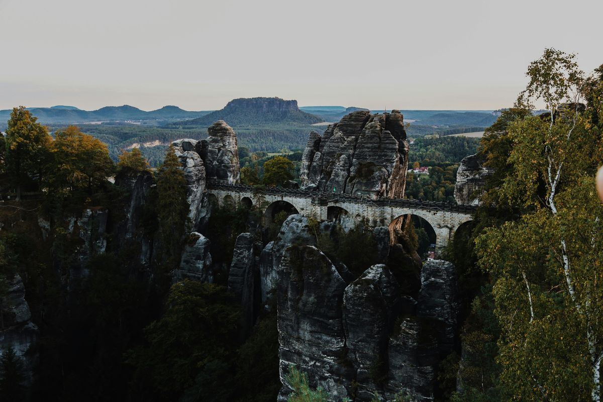
The practical consequence for a visitor is simple and important: a number of trails were closed for long periods, and reopening has been gradual, as unstable trees were assessed and removed. The situation changes from one season to the next.
Check the park administration website for which trails are open, a few days before you travel. Do not rely on old maps or on articles written a few years ago. The burnt areas are visible and are themselves part of a landscape recovering in front of visitors.
What else is in the park and across the border
The arch and the gorges are the most visited, but the area holds a great deal more, and the rest is considerably quieter.
- The Jetřichovice viewpoints: Mariina vyhlídka, Vilemínina stěna and Rudolfův kámen, three points on the rocks, linked in a loop of about four hours.
- Hřensko: the village where the river meets the Elbe, the lowest point in Czechia at about a hundred and fifteen metres.
- Tiské stěny: a sandstone labyrinth outside the park, about an hour away and far less visited.
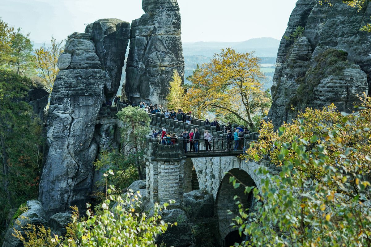
- The Bastei bridge, on the German side: the most photographed point of the massif, under an hour by car.
- Königstein and Rathen, also in Germany, both reachable on the same day.
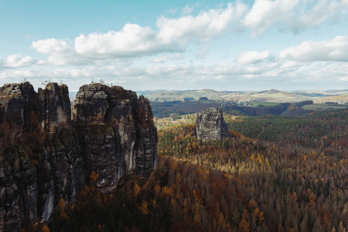
Crossing the border is free and unmarked, and many waymarked trails cross it without your noticing. In practice a three day trip here can take in both halves with no formalities at all.
Getting there, where to stay and when to go
| Item | Detail |
|---|---|
| From Prague | about 1 hour 30 to Děčín |
| From Dresden | about 45 minutes |
| Gateway | Děčín, or Hřensko directly |
| Days needed | 2 to 3, including the German side |
| The punt gorges | usually April to October, depending on flow |
| The arch | about 1 hour up from Hřensko, ticketed |
| Essential | check which trails are open before you travel |
The train from Prague to Děčín works very well, followed by a bus or a river boat to Hřensko, which spares you the parking problem. Accommodation is in Hřensko, Jetřichovice, Mezná or Děčín, at reasonable prices outside summer.
Trail conditions, access rules and the gorge timetable are published by the national park administration, and general tourist information by the Czech tourist authority.
Frequently asked questions (FAQ)
Conclusion
Bohemian Switzerland holds the largest natural sandstone arch in Europe, gorges crossed in a punt pushed with a pole, and a forest recovering from the largest fire in the modern history of the country.
Check which trails are open a few days ahead, set off early for the arch, come by train to avoid the parking, and leave a day for the German side.
