
 By

Pelion is the peninsula that closes the gulf of Volos, in Thessaly, and one of the few places in Greece where the mountain runs straight into the sea. It has twenty four stone villages on its slopes, beaches on both coasts, beech and chestnut forest an hour from the sand, and a mythology of its own: the centaurs lived here, and Chiron raised Achilles.
How the peninsula divides, which villages are worth it, where the good beaches are, what the steam train is and why the drives take longer than they look.
What Pelion is and how it divides
Mount Pelion rises to 1,624 metres along a curved peninsula that encloses the Pagasetic gulf. That creates two entirely different coasts, twenty minutes apart by car.
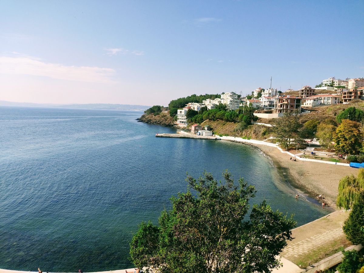
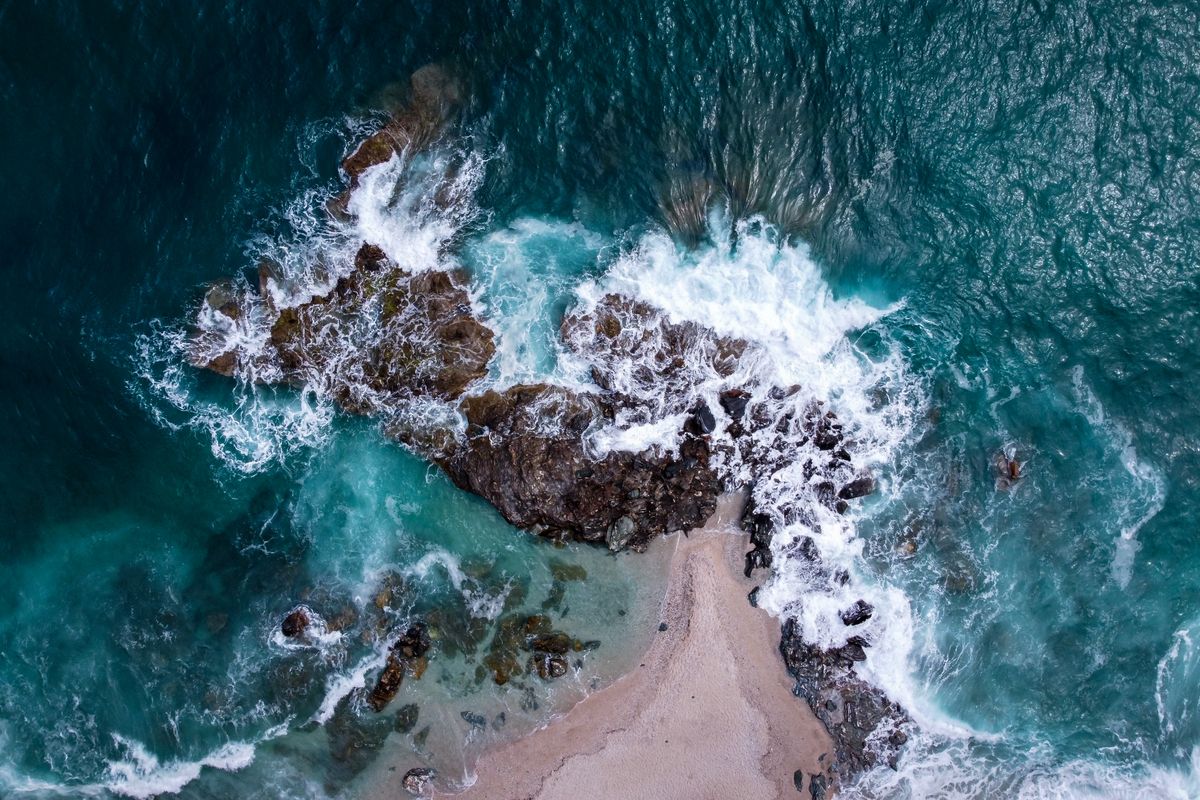
The west coast, facing the gulf, has calm water, small shingle beaches and fishing villages. The east coast, facing the Aegean, has broad beaches of sand and white pebble, waves, cliffs and open views. If you want a proper beach, go east. If you want still water with small children, stay west.
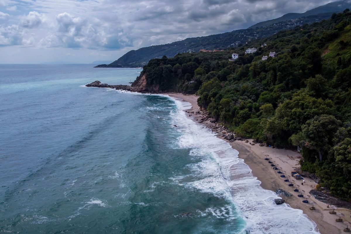
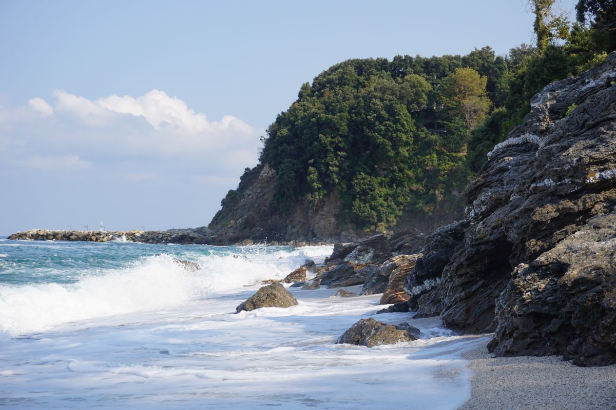
The surprising part is how green it is. Pelion gets more rainfall than almost anywhere else on the Greek mainland, has streams that run all year and dense forest of beech, chestnut and plane. In August you can go from thirty five degrees on the beach to twenty two in the woods in twenty minutes.
The centaurs, Chiron and the Argonauts
In Greek mythology Pelion was centaur country, and the best known of them, Chiron, was the exception: wise, a healer and a teacher. He educated Achilles, Jason and Asclepius, the god of medicine. His cave is traditionally placed somewhere on the eastern slope.
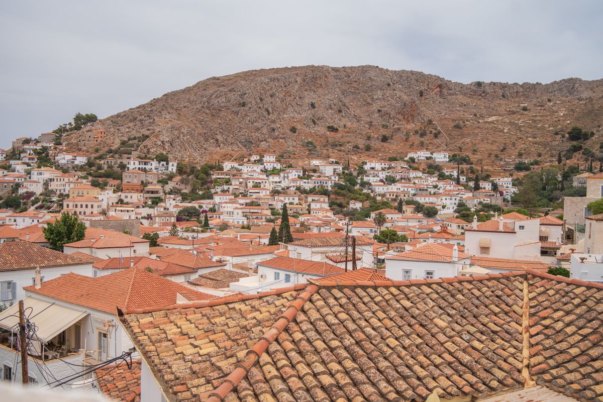
The Argonaut story begins here too. Jason sailed from Iolcos, the ancient port on the site of present day Volos, in a ship built from Pelion timber. In the modern harbour there is a replica of the Argo, built to ancient techniques, which has actually sailed.
The wedding of Peleus and Thetis, from which the Trojan war followed by way of the apple of discord, is also set on Pelion. In short, the local mythology is dense and, unlike many places in Greece, attached to the landscape itself: the forest, the cave, the harbour.
The villages worth visiting
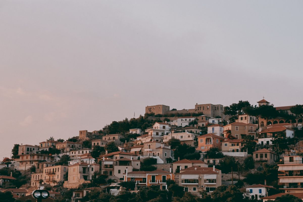
There are twenty four, built at between three hundred and eight hundred metres, never right on the shore. The reason is historical: piracy and malaria in the low ground.
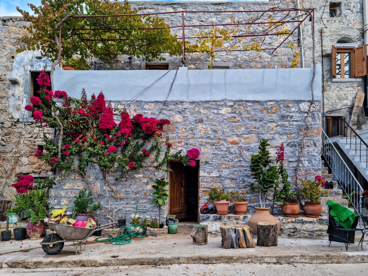
- Makrinitsa: called the balcony of Pelion, with a square hanging over the gulf. The most visited and the busiest at weekends.
- Portaria: next door to Makrinitsa, larger, with waterfalls and trails starting from the village.
- Vizitsa: the best preserved architecturally, with stone mansions turned into guest houses.
- Milies: the upper terminus of the historic railway, with an old library and a square under plane trees.
- Tsagarada: spread across four quarters, with a plane tree over a thousand years old in the Agia Paraskevi square.
- Zagora: the largest, known for its firiki apples and its orchards.
- Agios Ioannis: the only proper resort on the east coast.
The architecture is distinctive: a ground floor of heavy stone, a timber upper storey projecting outwards, a roof of slate slabs, and in the wealthier houses, painted ceilings. It is the closest thing in Greece to alpine building.
The beaches on the east coast
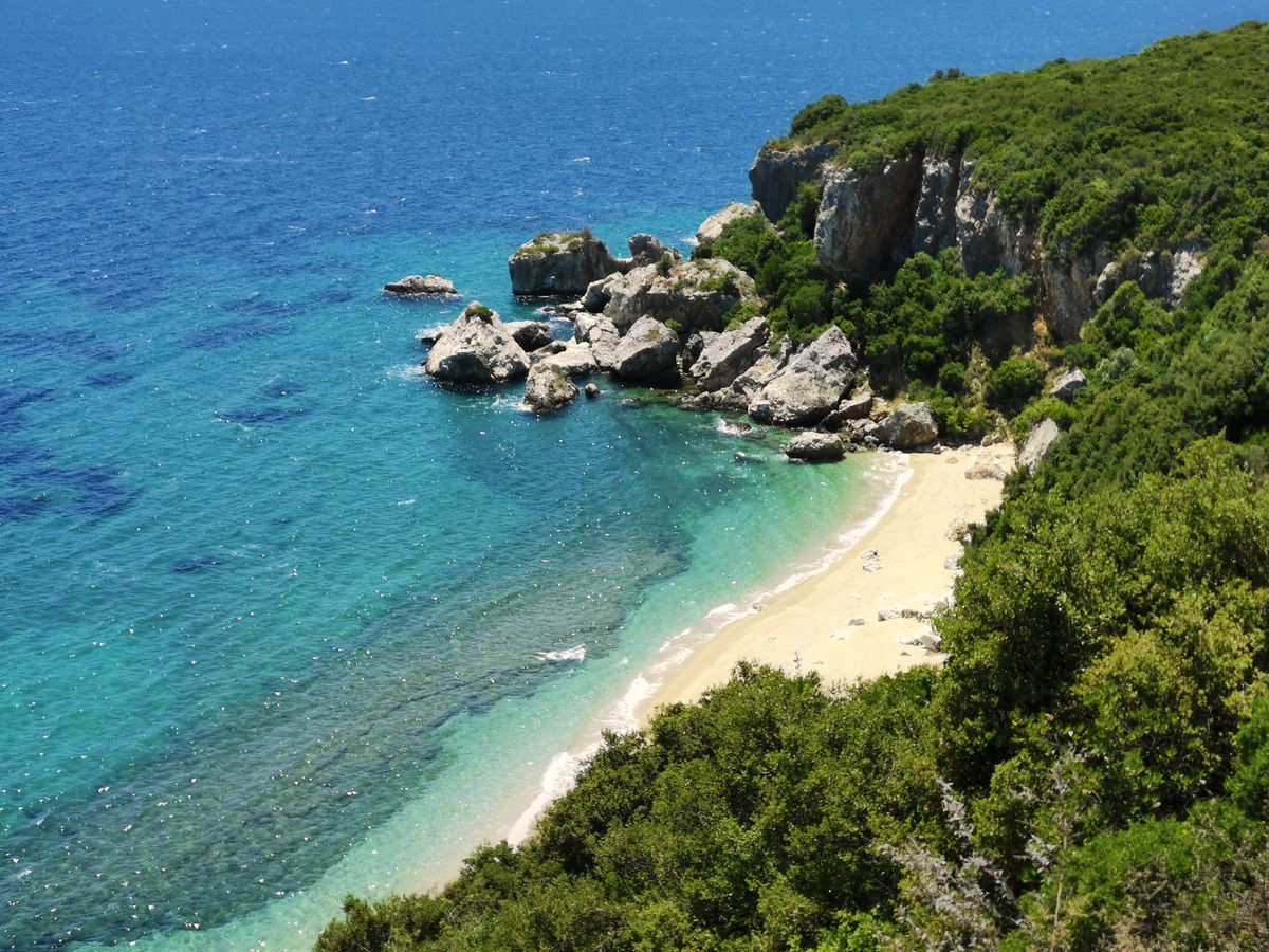
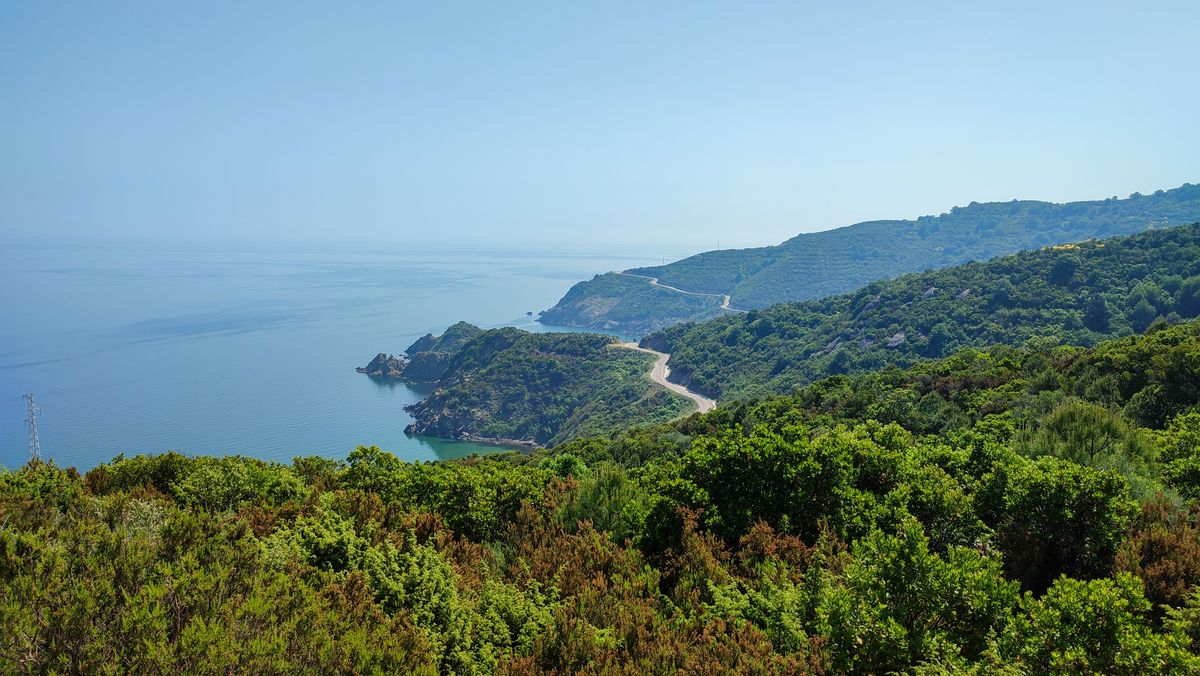
The best beaches are on the Aegean side, and getting to them is the part that catches people out: tight switchback roads dropping seven or eight hundred metres in a few kilometres.
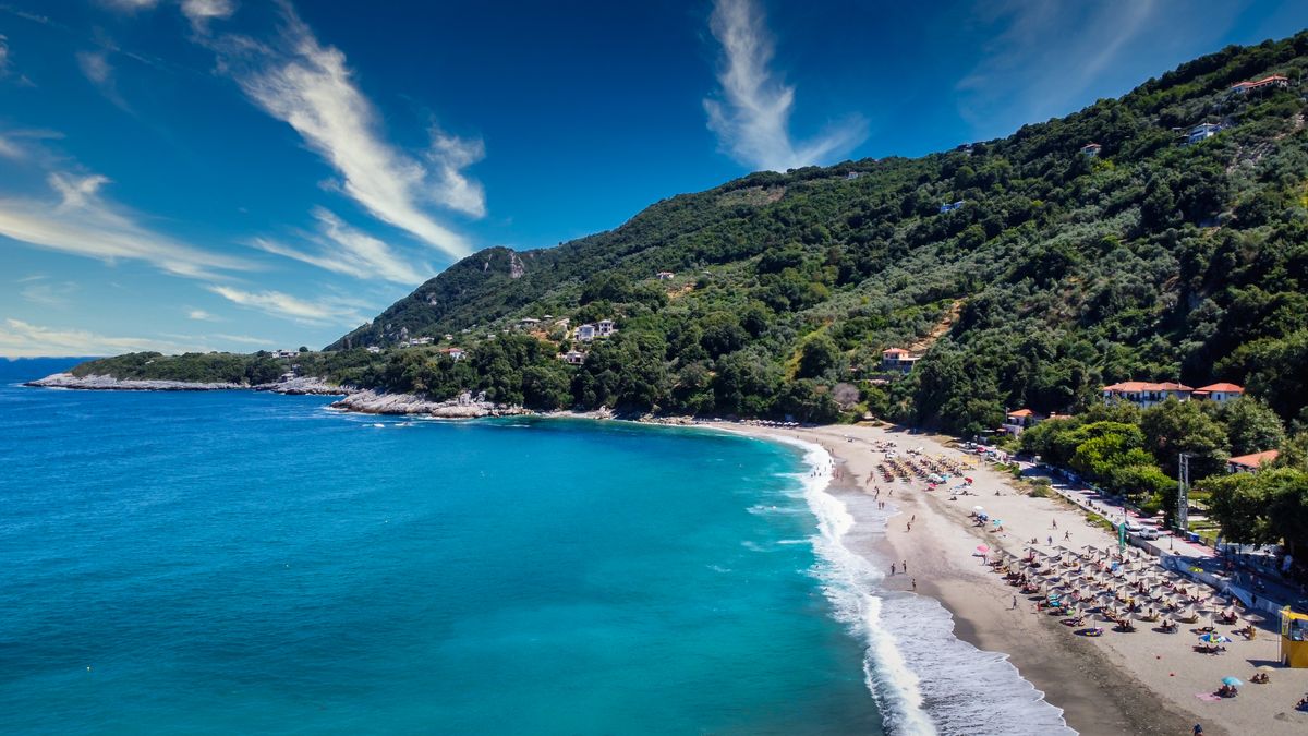
- Mylopotamos: two coves linked by a natural arch through the rock. The most photographed on the peninsula.
- Fakistra: small, hidden, reached down a footpath. Many consider it the finest.
- Papa Nero and Agios Ioannis: long, with facilities, suited to a whole day.
- Damouchari: the only natural harbour cove on the east coast, with pebbles and deep water.
- Horefto: a long sand beach, good for families.
- Potistika and Paltsi: in the south, large and almost empty, with waves.
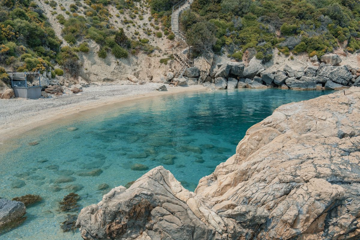
The roads of Pelion are among the most demanding on the Greek mainland. They are surfaced but narrow, with hairpin after hairpin and large height differences. The realistic average is thirty kilometres an hour, sometimes less. Twenty kilometres on the map means forty minutes of driving, not twenty. Anyone prone to car sickness will feel every bend, and an automatic gearbox helps a great deal. Do not plan three beaches in a day, plan one.
The Moutzouris train and the walking routes
The narrow gauge line between Ano Lechonia and Milies was built between 1895 and 1903, and the engineer who designed it was Evaristo de Chirico, father of the painter Giorgio de Chirico. It still runs in season, over about fifteen kilometres in roughly an hour and a half, across metal bridges spanning ravines.
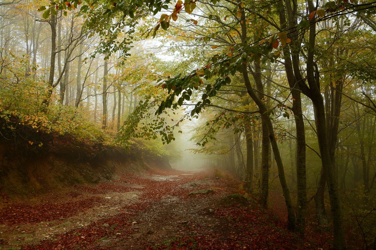
It generally operates at weekends and through the summer months, and tickets sell out. Check the current timetable in advance, because it changes year to year and services are sometimes suspended for works.
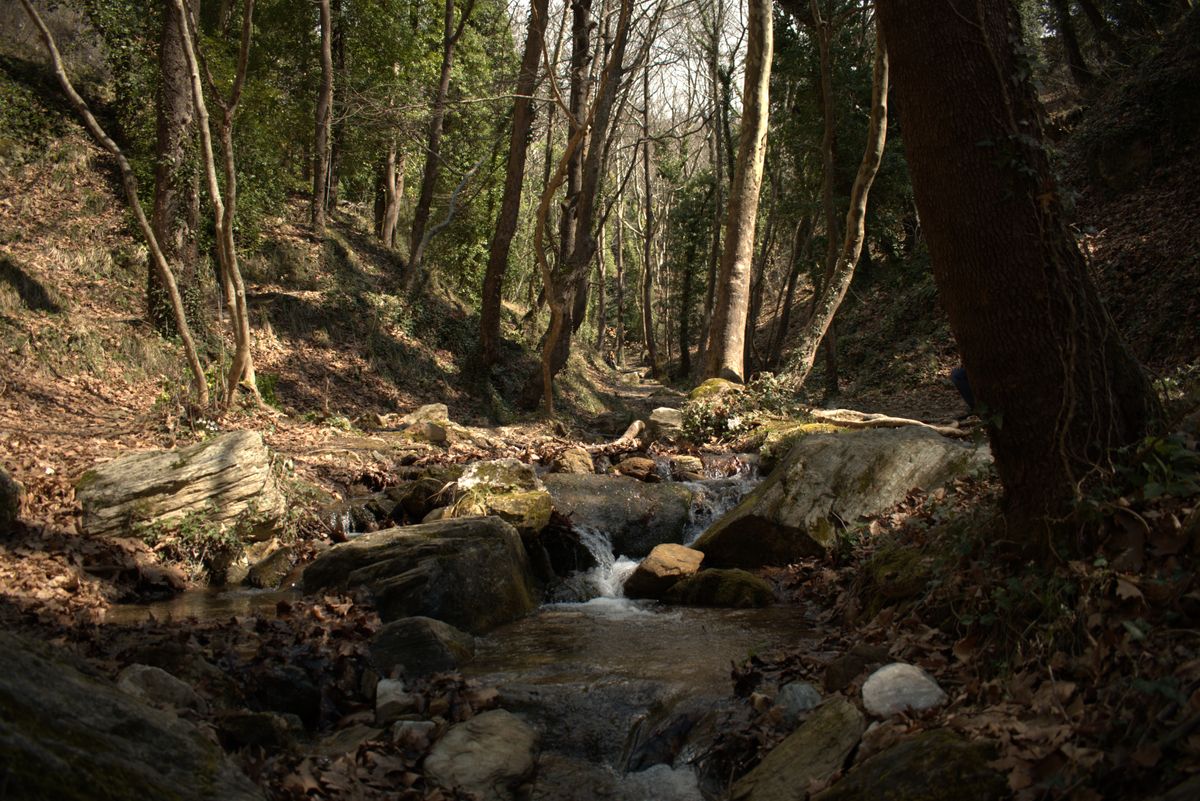
The other movement legacy is the kalderimia, the cobbled mule paths that linked the villages before there were roads. Many have been restored and waymarked, and the route from Tsagarada down to Damouchari beach, or the one between Milies and Vizitsa, take one to two hours through woodland.
Getting there, how long to stay and when to go
| Item | Detail |
|---|---|
| Gateway | Volos, at the base of the peninsula |
| From Thessaloniki | about 2 hours 30 to Volos |
| From Athens | about 3 hours 30 |
| Days needed | 4 to 5, ideally a week |
| Best months | June and September for beaches, May for walking |
| Car | essential, constant hairpins, average 30 km an hour |
| Accommodation | guest houses in stone mansions in the villages |
The best strategy is to sleep on the coast you actually want. Moving from one side to the other every day eats hours. In summer, August is full of Greek holidaymakers, and at weekends the northern villages fill with day trippers from Volos and Thessaloniki.
Regional information and details of the historic line are published by the Greek national tourism organisation, and railway timetables by the rail operator.
Frequently asked questions (FAQ)
Conclusion
Pelion is where Greece looks least like Greece: beech forest above Aegean beaches, houses with timber upper storeys, and a narrow gauge railway designed by the father of a surrealist painter.
Pick one coast to sleep on, budget the driving at thirty kilometres an hour, walk at least one of the old cobbled routes, and come in June or September.
