
 By

Zagori is a region of the Pindus mountains in north western Greece, made up of forty six villages built entirely from local stone and linked by arched bridges and cobbled paths. It has no beach, no Greek nightlife and no resemblance to anything the average visitor expects from Greece. In 2023 it was inscribed on the UNESCO World Heritage list as a cultural landscape.
Why the villages look the way they do, which ones to visit, what the stone bridges are, and how to move around a region with no public transport.
What Zagori is and why UNESCO listed it
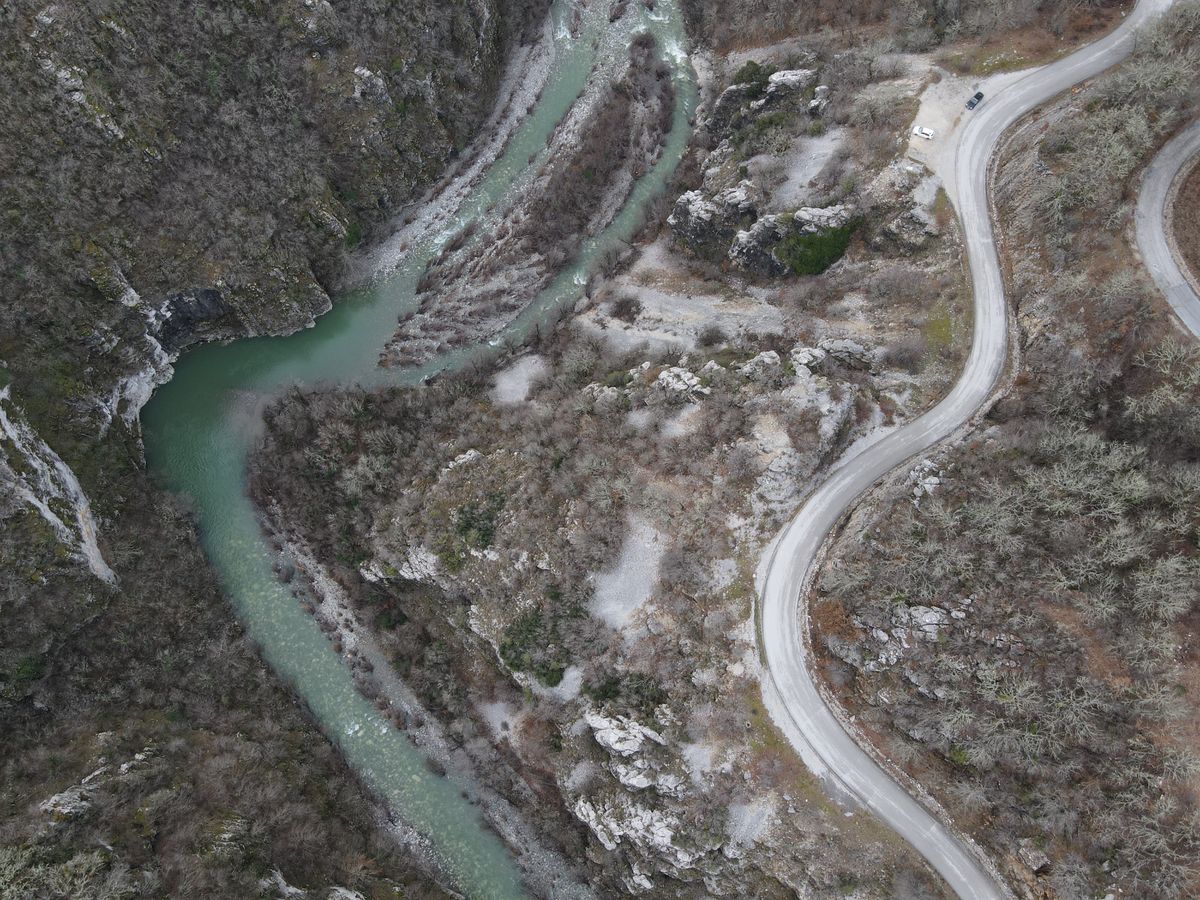
The region lies in Epirus, north of the town of Ioannina, on the flanks of the Timfi massif. The name comes from a Slavic word meaning beyond the mountain, and the geography explains the rest: isolated villages at between eight hundred and twelve hundred metres, between which you could only travel on foot or by mule.
Under Ottoman rule the villages secured an unusual degree of fiscal and administrative autonomy, negotiating a single lump payment in exchange for the right to govern themselves. That produced a prosperous community and a merchant class who left for Russia, Romania and Egypt and sent money home.
That money built what you see today. The bridges carry the name of whoever paid for them, and so do the schools and churches. The 2023 inscription does not concern any single building but the whole landscape: the villages, the cobbled paths, the bridges and the way people organised vertical terrain.
The stone bridges, the signature of the region
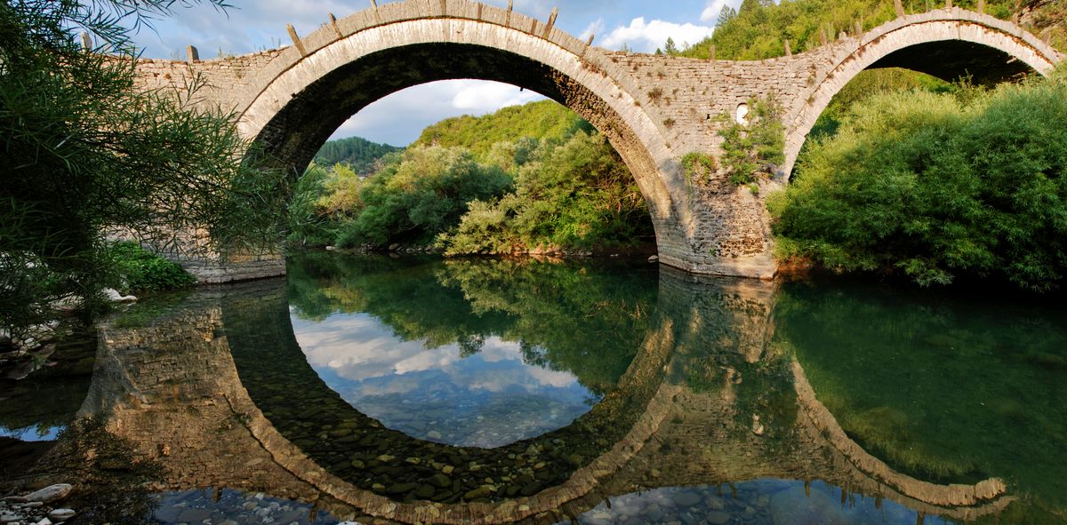
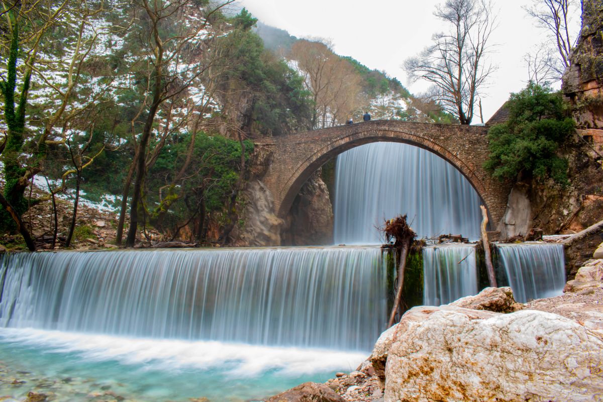
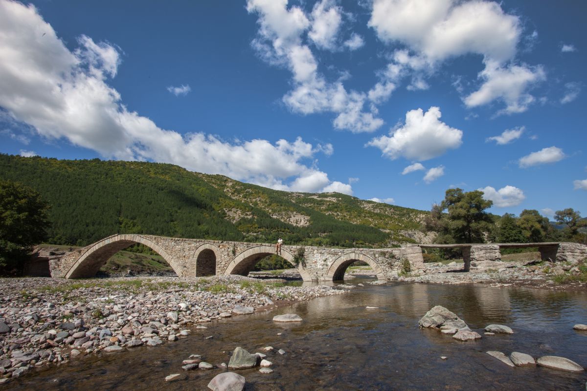
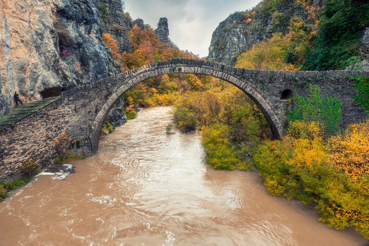
There are several dozen, built between the eighteenth and nineteenth centuries, with one, two or three arches, in dry stone without cement mortar. The arch carries the load into the banks, and some have stood for over two hundred and fifty years in beds that swell violently in spring.
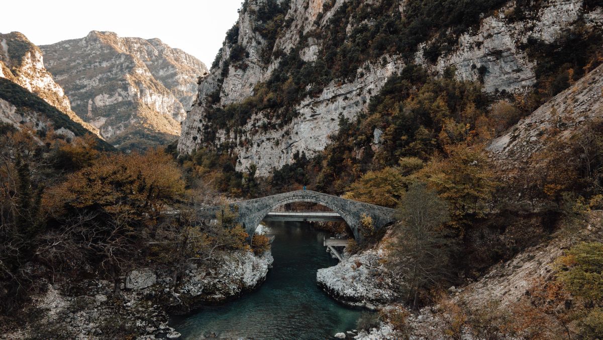
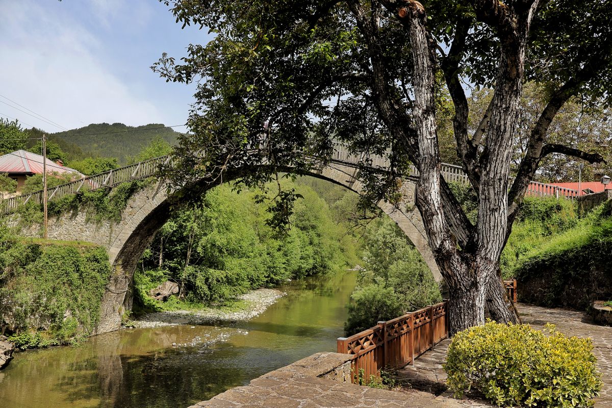
- The Kalogeriko bridge, also called Plakidas, near Kipoi: three unequal arches, the most photographed on the Greek mainland.
- The Kokkorou bridge: one high single arch, minutes from the first, with direct access from the road.
- The Misios bridge: near Kipoi, the easiest to photograph from below, out of the river bed.
- The Noutsou bridge, also known as Kokkori: on the old route between Koukouli and Dilofo.
- The bridge at Vovousa: in the north of the region, over the Aoos river, in a far more isolated village.
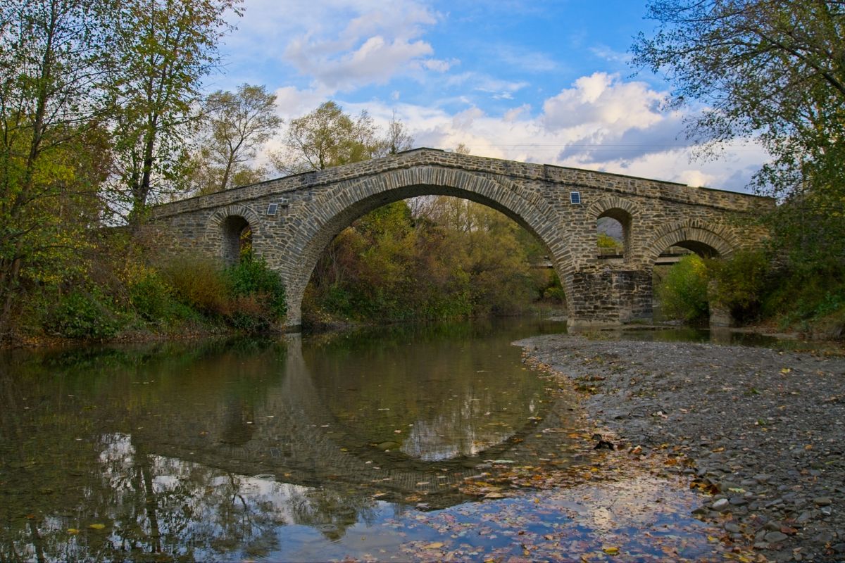
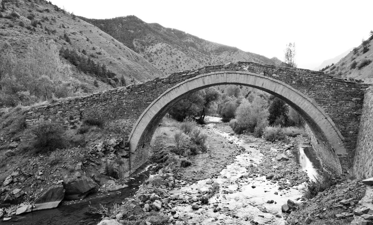
Three of them stand within a few hundred metres of each other near the village of Kipoi, and the path linking them takes under an hour on foot. It is the best introduction to the region and demands no effort at all.
The villages worth the most
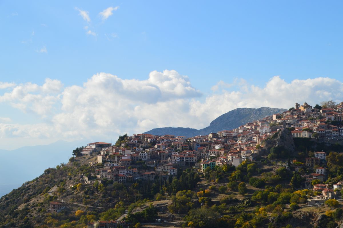
There are forty six, and the difference between them is real: some have been restored and have guest houses, others have three residents in winter. These are the ones that repay the time.
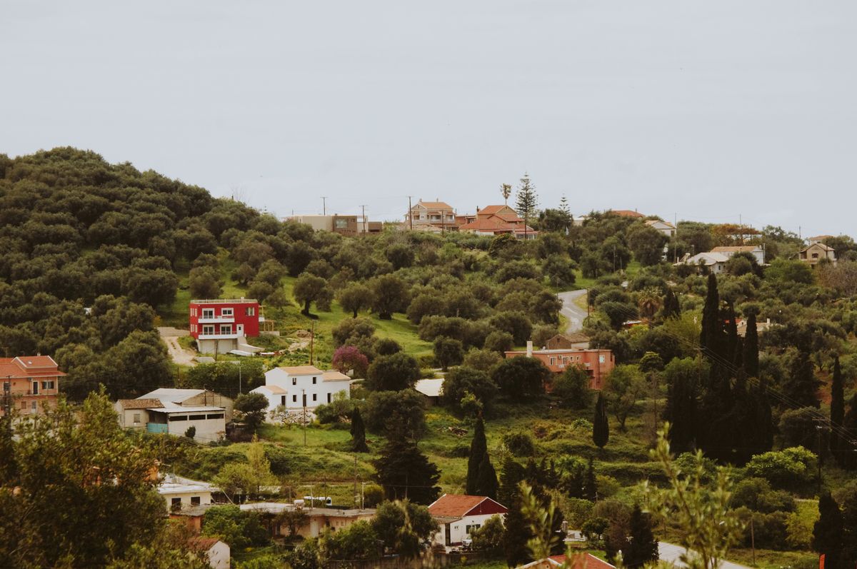
- Megalo and Mikro Papingo: the two villages under the Astraka walls, with limestone towers above them. The most visited and the best equipped.
- Monodendri: the starting point for the descent into the gorge, with the Agia Paraskevi monastery clinging to the cliff.
- Dilofo: nearly empty, no cars inside, the best preserved architecturally.
- Kipoi: the village of the bridges, with the easiest access.
- Vitsa: quiet, with a fine descent to the Misios bridge.
- Tsepelovo: larger, a good base for the eastern half of the region.
- Vradeto: the highest village at 1,340 metres, with the stone steps leading up to it.
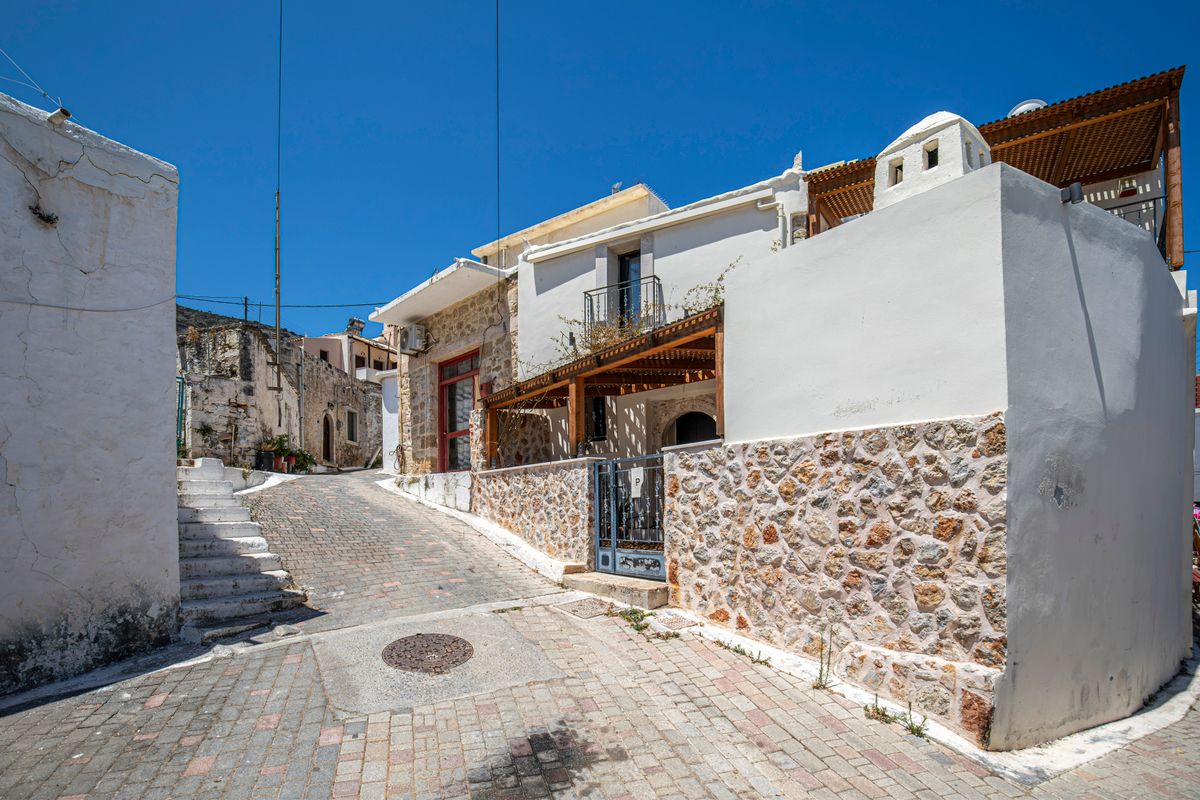
The architecture is uniform and that is exactly what impresses: walls of local stone, roofs of slate slabs, enclosed courtyards, arched gateways. There is no whitewash and no blue. Anyone arriving with the Cyclades in mind has a moment of confusion.
The Vradeto steps and the cobbled paths
Before there was a road, the village of Vradeto was linked to the rest of the world by a stone stairway cut into the wall of a ravine, with roughly eleven hundred steps zigzagging up. It was built in the eighteenth century and was the only access for two hundred years.
Today the climb takes about forty minutes and the descent thirty, and from the top it is another half hour to the Beloi viewpoint, from which the whole Vikos gorge opens up vertically. It is the best short outing in the region.
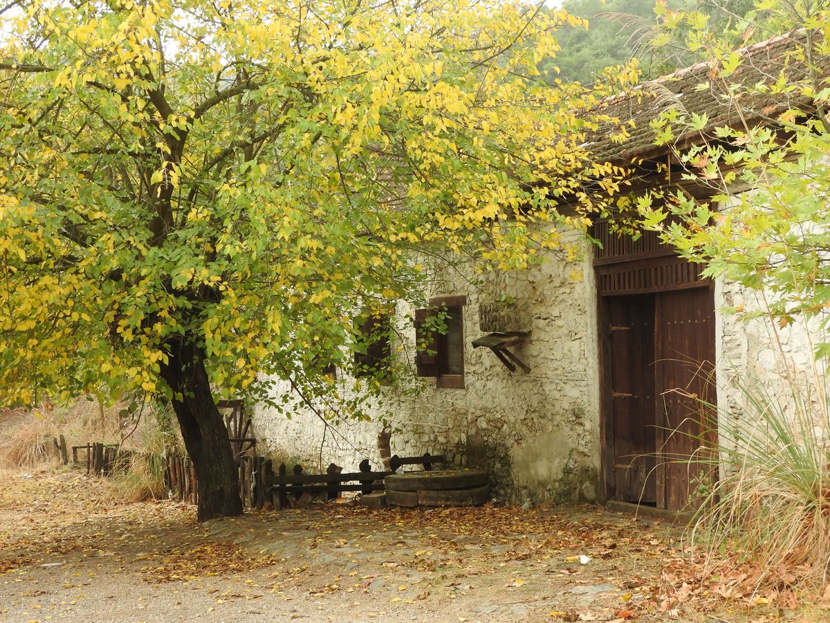
The old cobbled paths, called kalderimia, still link the villages and are waymarked as trails. The stone has been polished by centuries of use and turns slippery at the least damp, including morning dew. Boots with good grip are not fussiness, and poles help on the descent. In summer set off early, because the south facing slopes have no shade at all after ten.
When to come and what changes with the season
Zagori is not a summer destination in the Greek sense. It is a mountain region with a real winter and snow that closes roads.
- April and May: the water is at its highest, the waterfalls run, the villages are empty. The best time for photography.
- June and September: the best balance of weather and crowds. Ideal for walking.
- July and August: hot and busy, especially at weekends. Book accommodation ahead.
- October: autumn colour, with beech forest on the slopes. Underrated.
- Winter: snow, fireplaces, roads occasionally closed. A different region entirely.
The temperature difference from the coast is large. In August, when it is thirty five degrees at the sea, it drops to fifteen here at night. Bring a warm layer whatever the month.
Getting there, where to sleep and what it costs
| Item | Detail |
|---|---|
| Airport | Ioannina, or Thessaloniki 3 hours 30 away |
| From Ioannina | about 40 to 60 minutes to the first villages |
| From Athens | around 5 hours 30 by car |
| Public transport | infrequent buses, a car is essential |
| Days needed | 3 to 4, ideally including the gorge |
| Accommodation | guest houses in restored stone buildings |
| Best months | April to June and September to October |
A car is the only realistic solution. The roads are surfaced but narrow and winding, and two villages that look adjacent on the map can be half an hour apart, because a whole valley has to be driven round. Do not judge by straight line distance.
Accommodation is in guest houses converted from old stone buildings, at sixty to a hundred and twenty euros a night, more than you would expect in rural Greece but to a good standard. The World Heritage inscription is described by UNESCO, and regional information by the Greek national tourism organisation.
Frequently asked questions (FAQ)
Conclusion
Zagori is the part of Greece most visitors never see: forty six stone villages linked by bridges built with money sent home by merchants scattered across eastern Europe.
Come by car, pick one base and stay three nights, walk at least one of the old cobbled routes, and bring a warm layer, because the nights are cold even in August.
