
 By

A national park of over two thousand square kilometres, with ninety summits above six hundred metres, castles built by Welsh princes and a train that climbs almost to the highest point in southern Britain. Snowdonia officially changed its name in 2022, and the reason says a great deal about the region.
The six routes to the summit, the ridge you cross with your hands, the railway, the castles that are not English, and the legends behind the place names.
Why Snowdonia is now called Eryri
In 2022 the park authority decided to use the Welsh names officially: Eryri for the park and Yr Wyddfa for the summit. It was not a cosmetic change. Snowdon comes from Old English and means snow hill, while Yr Wyddfa means the burial mound, and the Welsh name is documented centuries before the English one.
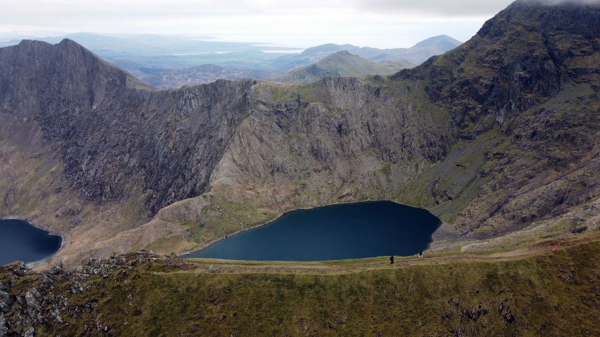
In practice you will see both names on maps, signs and satnav. Welsh is an official language here, roughly half the population of Gwynedd speaks it daily, and every road sign is bilingual.
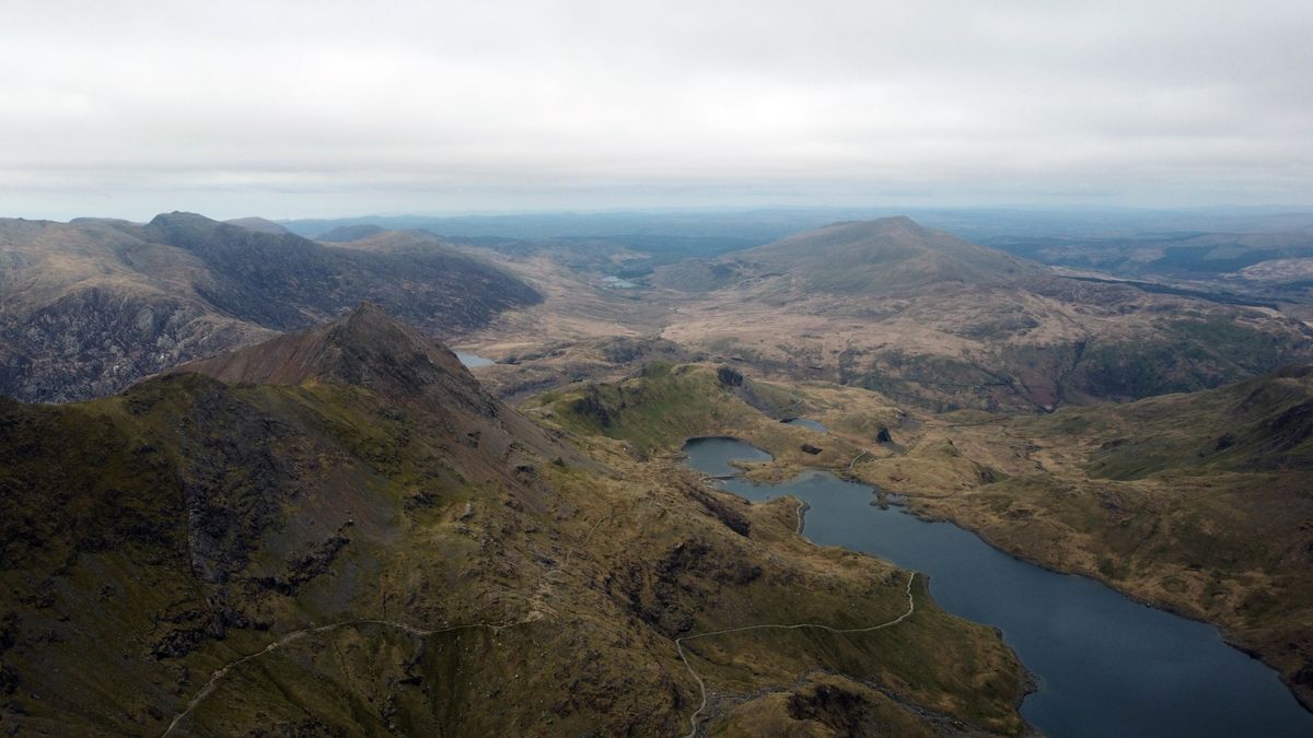
The six routes up Yr Wyddfa
The summit is 1,085 metres, which does not sound impressive until you realise you start close to sea level. All six routes reach the same point, and the difference between them is difficulty rather than length.
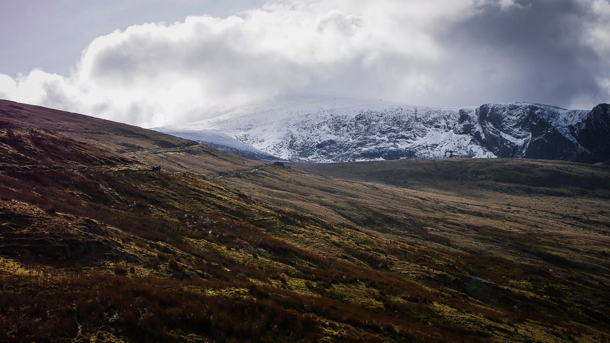
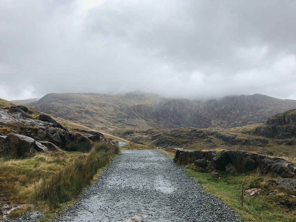
- Llanberis Path: the longest and easiest, nine kilometres, following the railway line. About six hours return.
- Pyg Track: the most popular, shorter and steeper, with a short scramble near the top.
- Miners Track: flat past the lakes at first, then climbs sharply to join the Pyg. The best opening stretch.
- Watkin Path: the greatest height gain, starting almost at sea level, with a loose final section.
- Rhyd Ddu Path: quiet, with a narrow ridge towards the end, and far fewer walkers.
- Snowdon Ranger Path: the oldest route, steady in gradient, and the sensible choice for a first ascent.
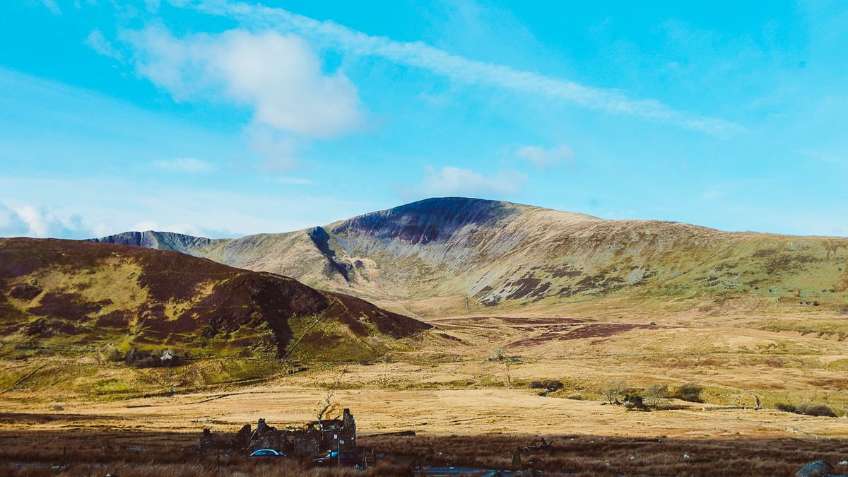
Crib Goch, which is not a walk
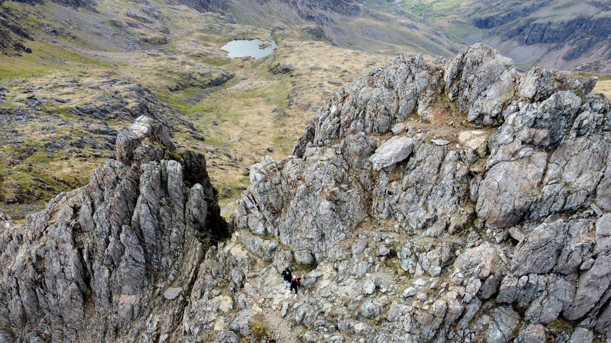
Crib Goch appears on plenty of trail lists, but it is not a path. It is a knife edge ridge with a drop on both sides, crossed using your hands. It is technically graded as a scramble, and in wind or wet it becomes genuinely dangerous.
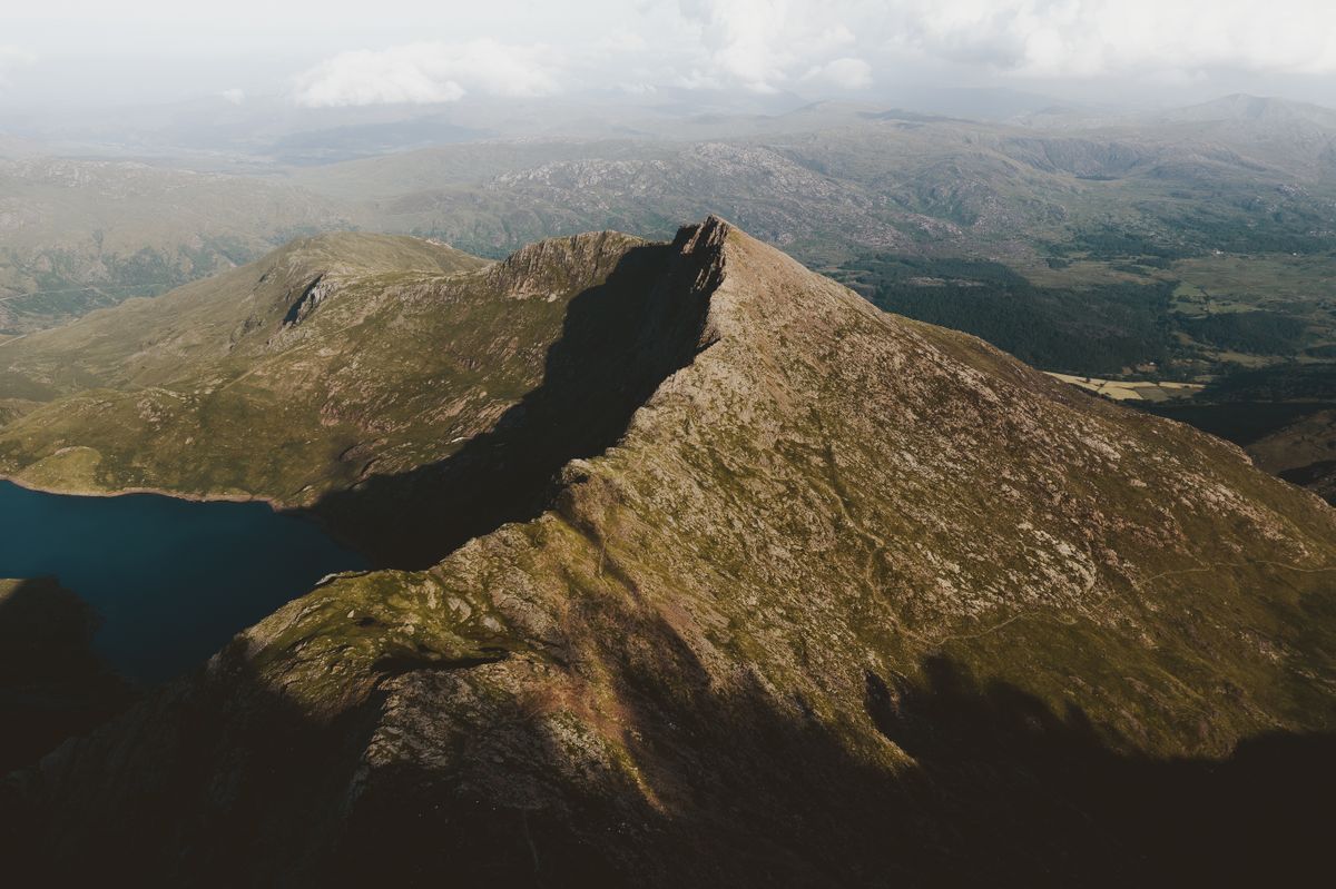
The mountain rescue team here is among the busiest in Britain, and most call outs involve people who were badly equipped or caught in cloud. Take a map and compass, not just a phone. Check the forecast for the summit, which differs entirely from the one in the valley. Parking at Pen-y-Pass is pre booked online and sells out weeks ahead in summer.
The rack railway and the other lines
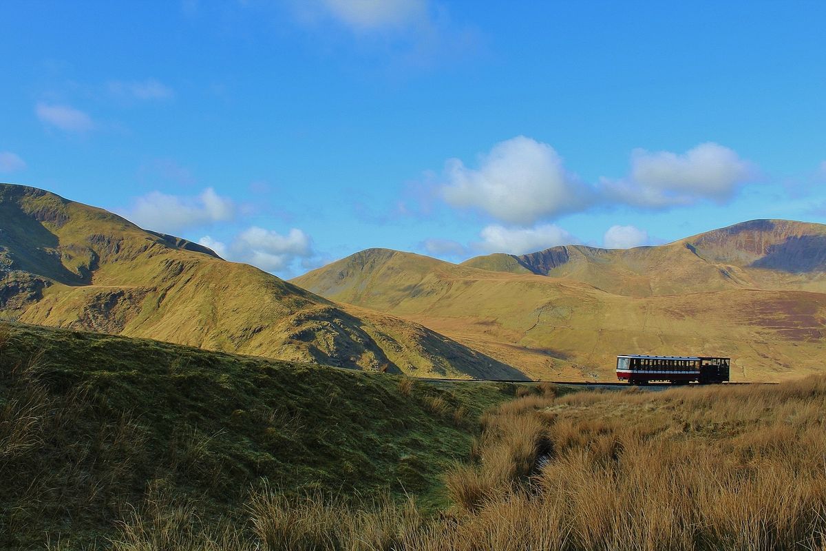
The Snowdon Mountain Railway has run since 1896 and climbs from Llanberis to the summit station in about an hour. It is the only rack and pinion railway in Britain, and in certain conditions it stops short of the summit, a decision announced only on the day.
The area has several other narrow gauge lines inherited from the slate industry: the Ffestiniog Railway, the Welsh Highland Railway and others. Together they are known locally as the Great Little Trains of Wales, and much of their route crosses country no road reaches.
The lakes and the glacial valleys
The park holds more than a hundred glacial lakes, most of them in cirques carved out in the last ice age. Llyn Ogwen sits right beside the road with Tryfan above it, a mountain whose summit cannot be reached without at least one climbing move.
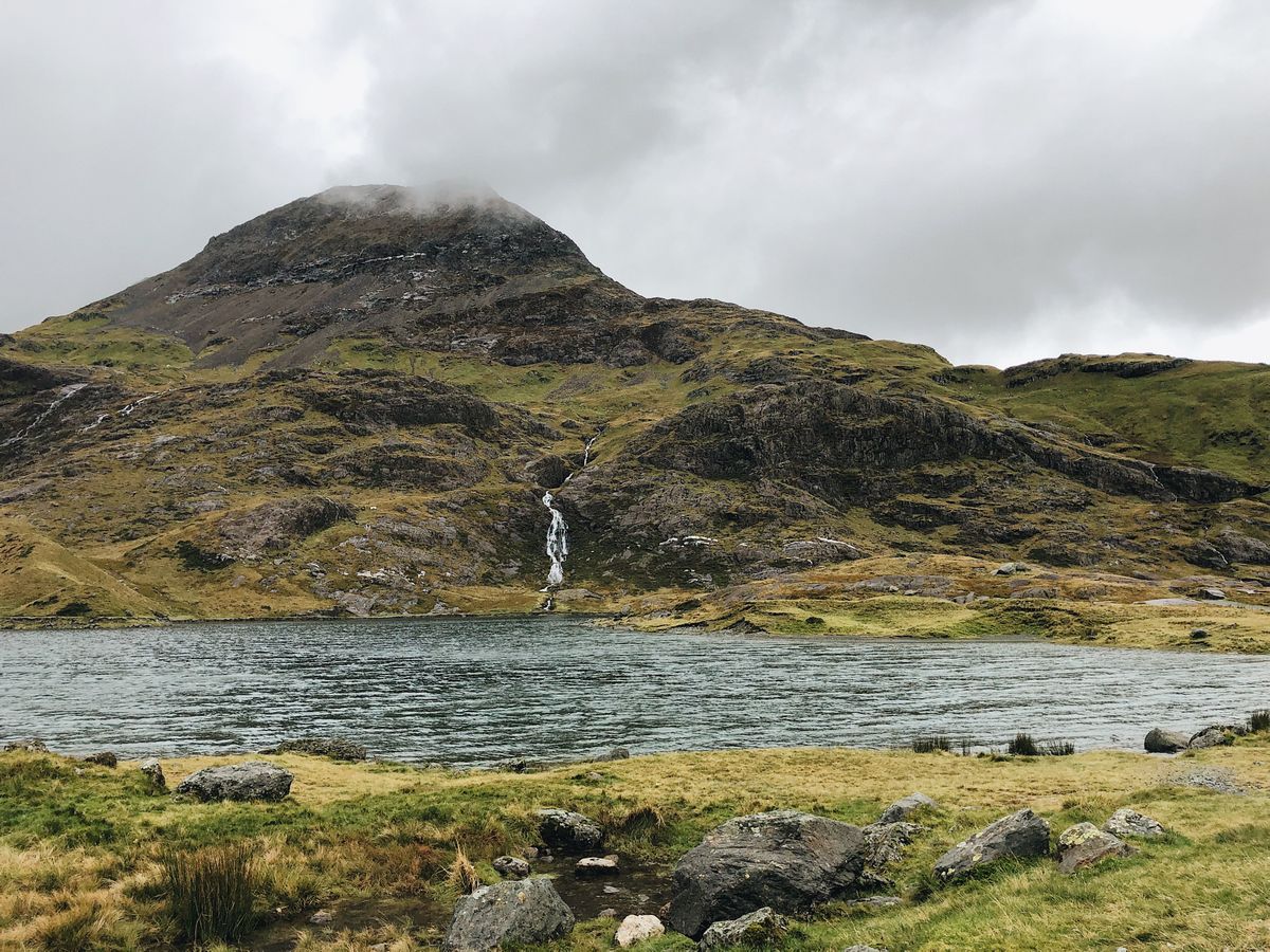
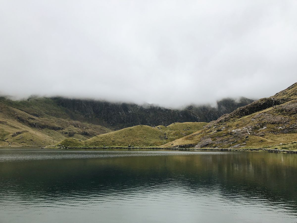
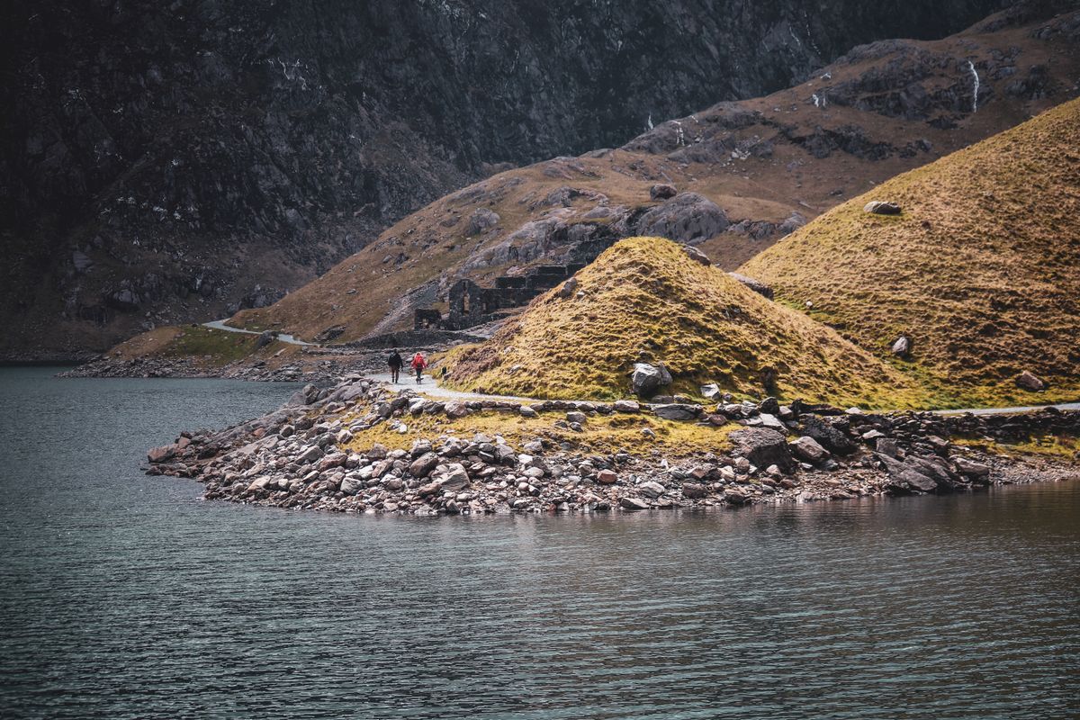
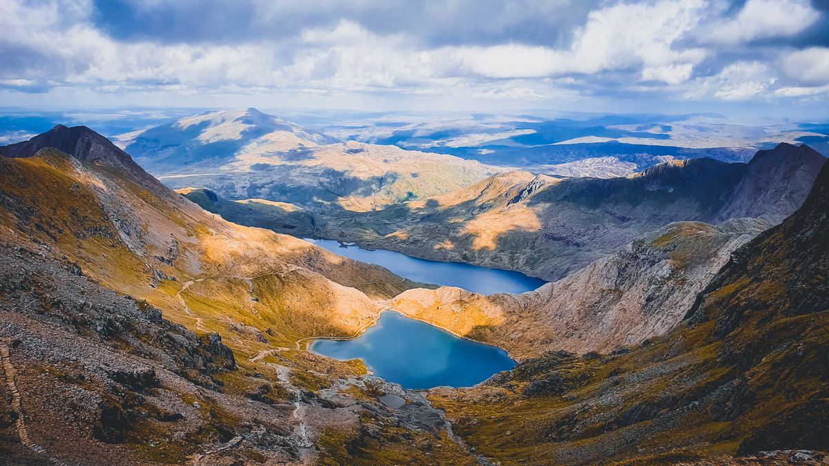
Llyn Llydaw and Llyn Glaslyn are both visible from the Miners Track, and their colour shifts noticeably with the light. Local legend says Excalibur was thrown into one of them, and versions differ on which.
The castles: who built them and why
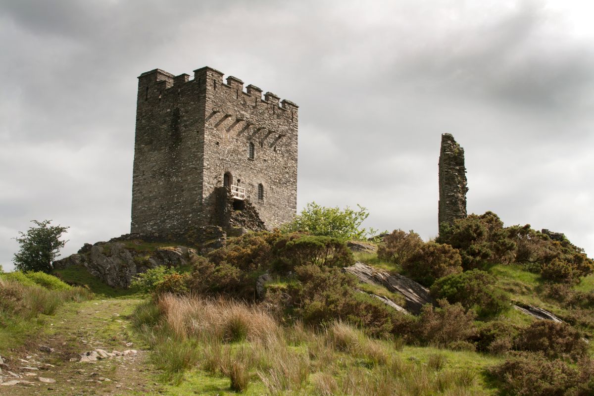
The region has two kinds of castle, and the difference matters. Those raised by Welsh princes, such as Dolwyddelan and Dolbadarn, are smaller, built on high ground and shaped to the terrain.
Those built by Edward I after the conquest of 1283, such as Caernarfon, Conwy and Harlech, are massive, placed beside water so they could be supplied by sea, and designed to intimidate. Four of them form a single UNESCO site, described explicitly as an example of colonial military architecture.
Getting there, staying and when to go
| Item | Detail |
|---|---|
| From Manchester | about 2 hours 30 by car |
| From London | around 5 hours, or train to Bangor |
| Bases | Llanberis, Betws-y-Coed, Beddgelert, Caernarfon |
| Pen-y-Pass parking | pre booked online, sells out weeks ahead |
| Best months | May to September. The weather stays unpredictable |
| Days needed | three: one for the summit, one for castles, one spare |
The weather is the serious part. The summit averages fewer than a hundred clear days a year, and cloud closes in within minutes. Take layers, a waterproof and food, even if you set off in sunshine.
Routes and conditions are published by the national park authority, and the castles of Edward I are described by UNESCO.
Frequently asked questions (FAQ)
Conclusion
Snowdonia, or Eryri, is where Britain suddenly turns vertical: ninety summits, a hundred glacial lakes, a rack railway from 1896 and castles built by two sides that were fighting each other.
Pick your route by experience rather than by photograph, book the parking ahead, carry a paper map, and accept that the weather at the bottom tells you nothing about the top.
